
![What Exactly is Mercator Projection? The Map That Quietly Distorts Reality [1221]](https://i.ytimg.com/vi/UtT09GLUwbY/maxresdefault.jpg)

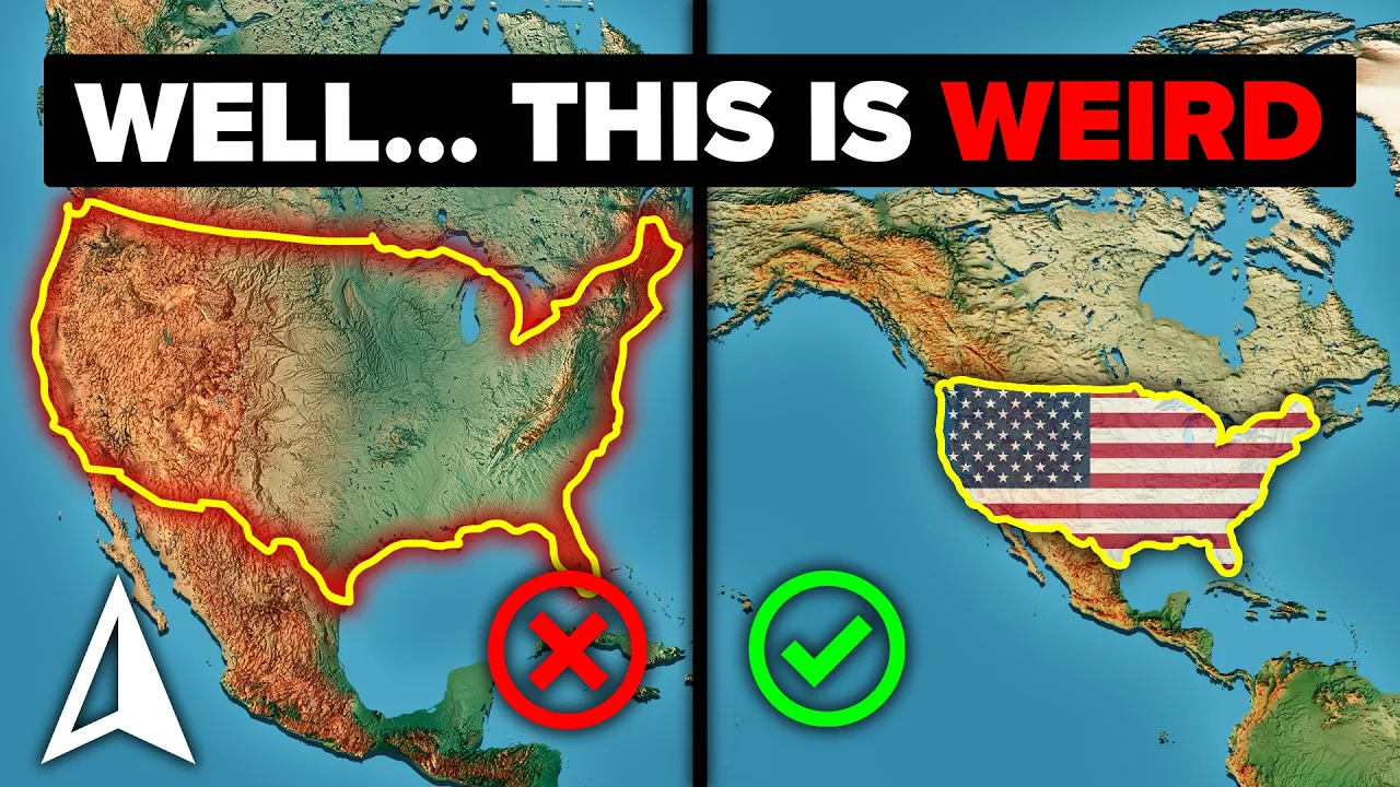

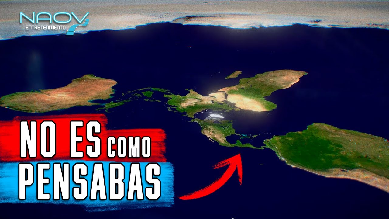






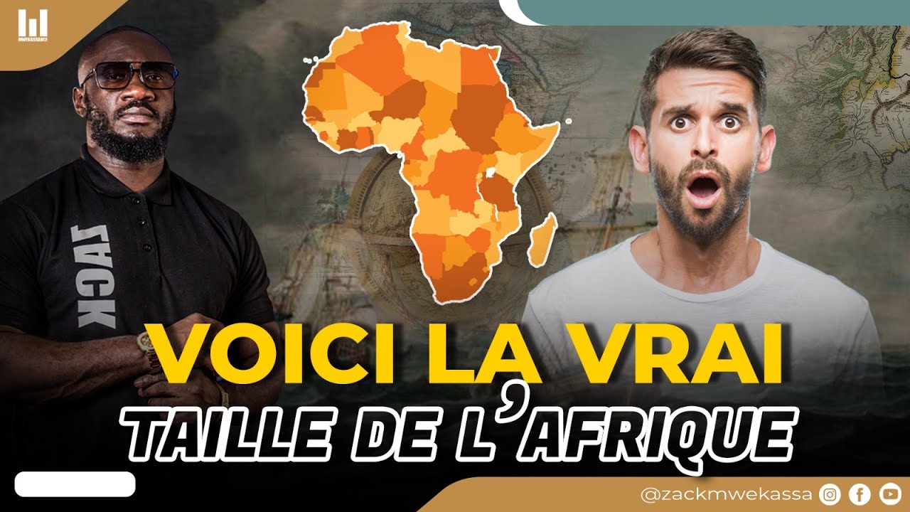

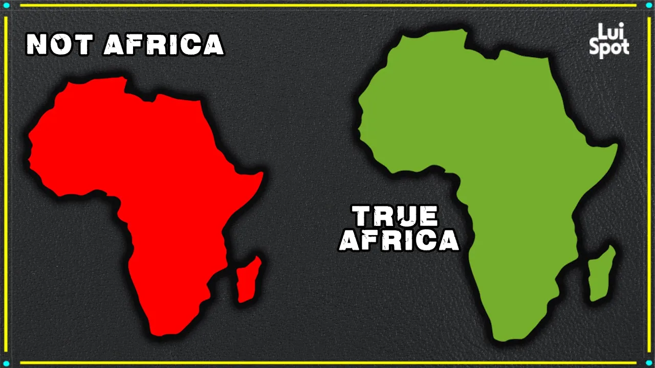

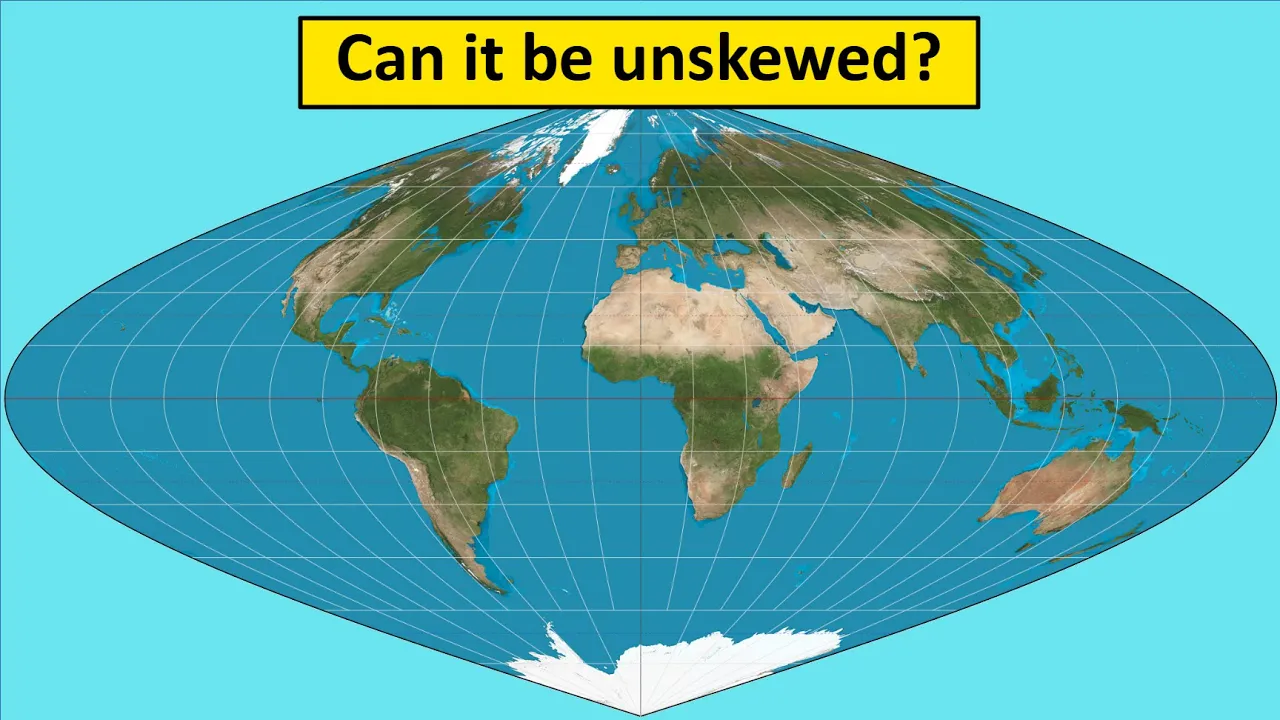
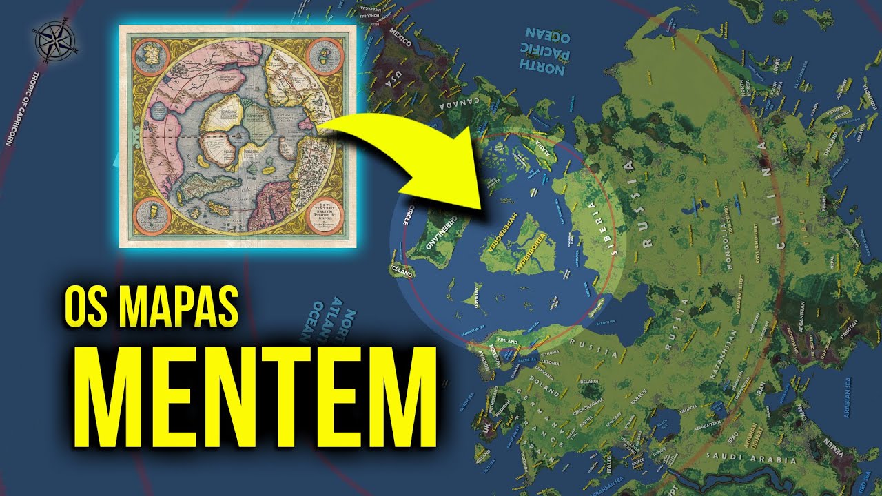




Google Maps has transitioned from the Mercator projection (a flat map that distorts landmass sizes, making Europe appear larger and Africa smaller) to a globe projection that more accurately represents Earth's spherical shape, which has significant implications for how people perceive geography, territorial disputes, and global relationships, as Google Maps is the most widely used mapping platform worldwide and can influence how governments and citizens understand the world.
The End of the Mercator Projection: Google Maps and Its Global Impact
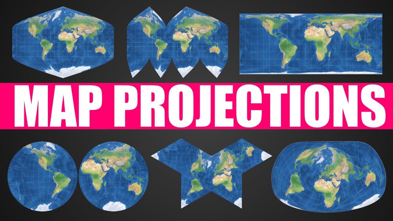
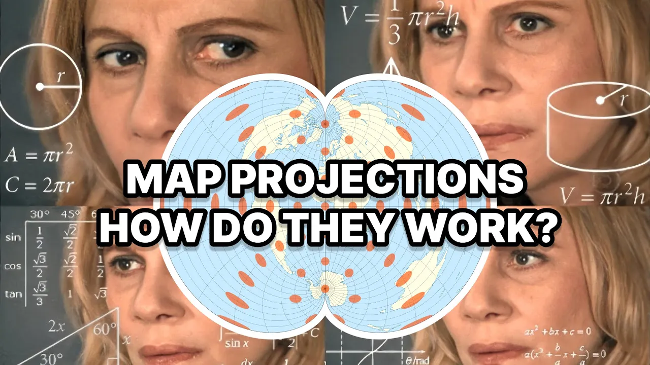
Added:The fundamental challenge of map projection: the mathematical impossibility of flattening a 3D sphere onto a 2D plane without distortion of area, shape, direction, or distance.
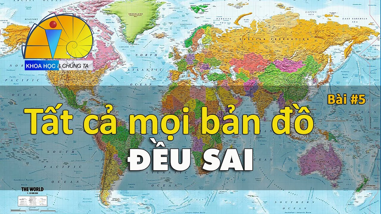
The history and design of the Mercator projection, specifically how it preserves angles for marine navigation while severely distorting the relative size of landmasses near the poles.
The concept of 'Web Mercator' (EPSG:3857) and why early web mapping services adopted it for computational efficiency and seamless zooming.
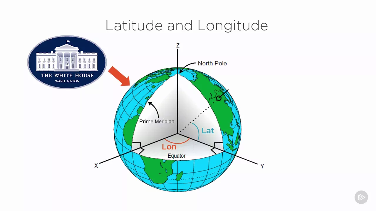
Basic geographic concepts of scale, latitude, longitude, and how coordinates are mapped onto digital interfaces.
The geopolitical implications of cartographic bias, including how size distortion historically influenced public perception of national power, wealth, and importance (e.g., Eurocentrism).
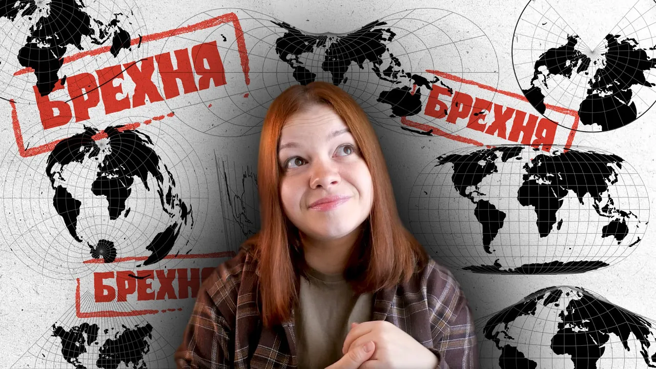
Alternative map projections (such as Gall-Peters, Robinson, and Winkel Tripel) and their specific use cases in education, politics, and media.
The technical implementation of 3D globes in web browsers using WebGL, vector tiles, and modern GIS (Geographic Information Systems) rendering engines.
The cognitive science of spatial perception: how switching from flat maps to interactive 3D models affects human mental mapping and modern geographic literacy.
128.2K views3.5Klikes12:19Original Release: 2018-08-06
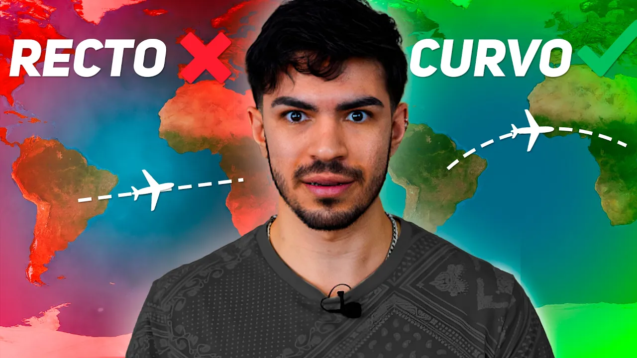
hello I'm to count broken backs on a second Channel jog free video this is my series where I talk about Joffrey and the world and stuff and today I wanted to talk about some really interesting joke free news than any other year besides 2018 would have been really mine and used that a tiny percentage of Joffrey people who care about my cater and who actively hate it would have really been excited about because you know Mercator is taking a slight step toward Stein however the reason this is much bigger news is because in modern times it's apparently okay to pretend that the earth is flat and there are a lot of people the Flat Earth Society that genuinely believe this so Google has done something that is very much upset them because they move their earth you know there's no Google Maps view from being the Mercator flat projection that you're probably used to looking something like this they're looking more like this which is the global view this is a real view of what the world looks like as opposed to the flat view which was kind of distorted to make it easier to see on a single rectangular grid so again here is a rectangle here is a spit the reason those two maps looks so different in so many ways when you dive into them is because of course again a sphere is a very different plane to a single rectangular map so the reason this is such a big deal is because one it's upset a lot of flat earthers which again I I find to be amusing I like to be really tolerant and try to understand how people's beliefs in every single circumstance but it's on who cares about geography which I assume also includes you it's kind of like if you believed you know if you studied politics a bunch and then someone tried to tell you like the government's not real man and you're like oh it's a shadowy conspiracy they're like no the government like doesn't exist and you're like I mean the president does press conferences like nanana that's part of like and they come up some elaborate recently it's like you know there there are better conspiracy theories out there if you want to get into one try and pick one that at least has like some semblance but I mean yeah basically it's re flat earthers I'm sorry if you're out there but the world is not flat on google maps anymore it is instead a spare a spit or a globe whatever you want to call it and this is a really big deal and you might say no it's not a big deal Google Maps changing is not the end of the world er it's not a real world change lots of other maps out there are still flat like you know Bing Maps is uh it's still that really flat thing I don't know if being kind of Matt's products or not being honest but Apple Maps is still flat for instance therefore it's not a big deal well the thing is is Google Maps is the most used map in the world it's a huge huge huge deal and if you don't believe that if you don't believe that like oh it's the most used map but like what is it really when it changes something let me bring up one of my favorite examples from history because in 2010 in 2010 Costa Rica was invaded by Nicaragua and the reason for it the reason they justified it is because Google Maps had a slight error that moved some of their territory Costa Rica's from you know Costa Rica to Nicaragua and you know the first people they contact when that goes wrong is just recur like yo Google Maps fix that they don't like apply to the US for help or you know the UN are like to China up to the EU or whoever else you might be thinking they go Google Maps give us that land back Google Maps literally has the power to take land accidentally from another country and you know I guess some countries will seize an opportunity but that is the power of Google Maps has instead of you know the local power you know having a thing there is one company based in you know like one country that has the power to shift borders but every single country and that's why every Google a lot of countries that have territorial disputes such as for instance Russia and Google map shows the Crimea is owned by brush' Chinese Google Maps shows that you know the South China Sea is an Taiwan are owned by China and this is because the reality of you know the Google Maps is it's the Maps people see so government's try to get involved and try and you know like shape it because they know that's how their citizens see the world this map right here the one I've shown off so many times on drug beach okay we'll take out or I guess really it's been this map right here but now this map right here is really the one you know that it's gonna ship how we would view the world because although if this whole time Google Earth has technically been a spit you know sphere of global revenue and you can look on the moon even if you look around for it right although this has been this play it's not the map most people used because it's not so handy at you know differentiating countries you can see the landmass is clearly you can see where it goes from green to desert to green to desert etc you can see that very clearly on this map which is interesting and you can see again where it's dark where it's day you can see against space it's beautiful it's this whole thing that's wonderful you should check out however it's not the map most people are you know caring about so I can't go back out there now and let's just go back to the regular map shall we this is the new Google Maps now and this you know there's more than just dirt you know a few things behind this first of all is the fact that wow this means that you know a lot of more people are gonna be seeing the globe which has two major impacts first of all again the Flat Earth thing is going to be slightly less easy to you know against people's minds because when you see a flower off the whole time you view the world is flat and people have to tell you that like oh yeah it's actually a sphere and you're like oh yeah well that makes sense for all these reasons right here whereas when you see the world as a clove the first time you'll understand it like oh yes so this is how these things link up the reason why it's faster you know to go from you know like for instance you know the UK to the United States via Greenland is because it's over it that's the reason you don't go around this way a lot of things are made a lot clearer by seeing the map this way because even though Europe looks pretty much the same on a flat map and a globe map seeing the difference between continents and given that continents are you know accessing each other more and more is much easier in this way and it's kind of a big deal in my opinion and yeah so you might be curious as to like what do I think about this whole thing because this is a big slight kind of stabbing the the world of firmer cater because Makita needed to exist in any world where we had flat maps I personally do think that the reason this map was so great this flat map your bra used to you learn in school maybe you cut it in is because it kept the lines of longitude and latitude exactly the same if you curse this to kind of the Proms that created because obviously it's not a sphere and meant that this is so every one of these spheres represents the same land area so Europe was over represent a tarat represented and Central America and you know North Africa sorry said said yeah Central America and Africa and some parts of Asia were under represented well Australia's over something again and also Antarctica just looks huge as you can see right here so and also Greenland's the same kind of thing although a lot of people will look at that map and say oh it's terrible because the slices are off I think the sizes aren't as important as knowing the relative One Direction to get from one place to another and to knowing the relative you know like Cote location of things in a proper egg one sec sorry it sounded like someone was trying to break in but it's just my Roomba started cleaning up you know my knockoff Roomba like it it's a robot vacuum it's it's doing some stuff and it made some really concerning noises so with that said the thing about Mercator that makes it great is although it has flaws it provides a lot of benefits and it was a better system than what came before the reason it was you know it was you know taking up so widely in the 1500s when it was invented by a guy named Mercator from modern-day Belgium but the reason it moves so widely spread was because it was so much better than the maps four and no one has invented a map that is better in every single way you can make a map that is better in one way you can be like oh yeah that's not over represent countries but then it sucks in loads of ways and the truth is since it came out the only two ways to display a map is mackay trees the best plac projection and the best non-flat projection is a globe of course however no everyone has a globe or a globe stressful like they have right here to keep you stressed and to squeeze the world like sometimes you want to do but you know no everyone has a globe around them which sucks so we use Makita until now where because you know freedom mapping and like stuff like this is so widespread and the power to run you know just a 3d globe is so easy to come by that why not just convert any map that's digital you know any non-physical map into a globe obviously we might miss that we might still need to use meketa in some situations but in all the situations where we don't need to why would we not use a globe and I guess that's where Google is coming from and also that combined the whole flower thing is why things have switched so yeah just an instrumental thing for you right there I wanted to bring it up because I think it's intriguing when Google Maps changes because Google Maps really does change how countries leave the world not only by getting some countries into it which I don't know there's just there's just something about that I find beautiful it's worth mint noting that cost Rica is never an army by the way it's one of the very few countries and the one that doesn't had a whole video on that some point that I'd love to talk about cuz you know Iceland just has like a coast guard for instance but they still want a war Val army but we're going way off track so I'll kind of focus things back on another interesting piece of news that should have happened five days ago that kind of also again shifts how people see the world when it comes to Google Maps so again you're probably familiar off the the island the isla de los pinos or there's an island if you're speaking English like myself so peasant Island is a really interesting Island because it's one of the very few places in the world that switches sovereignty on a regular basis for six months in the year it's owned by Spain and for the other six months in the year it's owned by France so when I made my spain's border spain border videos it was owned by spain and google maps show that was owned by Spain however on August the first it should have switched sovereignty to France and it did and there was a whole handover it's a fun thing if you don't believe me about this island by the way here you can see the island that switches countries every six months next week we ran through the roadblock and then it says down here if you want make sure that you sit here from February the first 2:30 burst you're like it's under Spanish rule and for the following six months its French it's a drink sovereign secret economy and the really interesting thing about it though is the fact that Google Maps has not updated it and therefore is not likely to update it every single six months and the reason I find this intriguing is because it goes back to what we said before about like well Google Maps kind of shifts how the world see things if Google Maps doesn't change every six months the island doesn't really effectively even you can say Spain owns the island and they might as well only Island besides this corner which apparently it says France does because it's got a little error this is the island by the way it's tiny it's you know it's it's it's a rolling its gonna banish at some point it's not a big deal in terms of any major factor besides friendship however because Google Maps doesn't shift it evil Spain owns it year round in its formality that they pretend France owns it or it's a true condominium where they both have shared sovereignty but the border doesn't change every six months which is a big deal because when Google Maps doesn't show the border changing does the board of really change and that's the big question I guess I'll leave this video with when Google Maps changes the world view changes of something and that seems like a lot of power to get to one company but it's also kind of nice that we have one place where that's done again there's lots of downsides that I'm sure we run into but the fact that there is one map that we can all look at and agree on and accept that of people and so sorry if you are again if you're a flat earth person you're not watching this on the video but I'm sorry your world view is just wrong you know stop I you know I I get why you might have arrived at that like conspiracy theories they're all attractive in their own ways but the interesting thing to me about you know this this whole thing oh boy it Antarctica's a lot smaller tool to it there's a lot of upsides and downsides the intriguing about this whole thing to me is just that yeah the having one world map view is probably a good thing that's all understanding at least where our countries are and the size of them relative to each other and how flight paths work and all these different things that's purely a good thing understanding that Greenland isn't as big as you figure that's important understanding Antarctica is not as big as its you again if you look at it on a flat earth it's like oh yeah sorry I said flour but if you looked it on a flat off like you can see down here it's huge but that's just because it's distorted at the edge of the world and then also finally the people who say that Oh Mercator is racist because it makes Africa look smaller than it is Africa already looks pretty big no one's ever like Oh Africa looks tiny therefore we can be racist towards them and insert things here everyone goes no Africa is really big but there's other issues related to it like seeing Africa as a you know this instead of like this does it make your worldview change too much I I don't know maybe it does let me know in the comments down below but now I hope you enjoyed your food so I can't make sure you check out tomorrow's board video about Qatar I'm excited for it and I'm also gonna pan in a couple of days and I'll make a video HP if you care about the flying videos because I again I feel like when it comes to jog feet there's a lot of subjects that I find tangentially related there you're gonna see some videos on like the geopolitics thing and I feel like flying in the whole you know how that links the world giver is above that so we're talking about a first class session lot Long's three about that but free that's the thing I'll be doing in the nearest future if you want to know about why first class is going away then check out this channel in five to six or whatever as long as it takes to make video and also check out tomorrow's video on guitar and looking forward to it and hopefully all of you are too so being very much watching and I'll see you all next time and I'm gonna go get some sleep it's it's 7:00 a.m. good bye
Up Next

4:52
Amazon Fulfillment Center Operations and Cyber Monday Logistics
@ABCNews
2.9M views•2012-11-27

12:54
Triumph of Orthodoxy Icon: Byzantine Art & History Explained
@BenCallan
2.1K views•2024-08-06
9:49
FastAPI vs Flask vs Django: Choosing the Right Python Web Framework
@TechWithTim
302.5K views•2024-05-26

1:42
Game of Thrones Opening Credits: A Cinematic Analysis
@gameofthrones
46.3M views•2011-04-18
Related Study Plans & Knowledge Roadmaps
Structured learning paths in General & Interdisciplinary Studies
general-studies
Elevator Engineering: History, Physics & Cities
01From Hoists to Safety Brakes: The Dawn of Vertical Lift
02Hydraulic vs. Traction: The Engineering Physics of Elevators
03Modern Speed, Safety, and Algorithms
+ 2 more learning modules
12h5 modules
Explore Roadmap
general-studies
Rubber: Material Science, History & Geopolitics
01Origins of Natural Rubber & Mesoamerican History
02The Chemistry of Natural Rubber & Vulcanization
03The Geopolitics of the Rubber Boom & Colonization
+ 2 more learning modules
12h5 modules
Explore Roadmap
general-studies
Containerization: Evolution, Logistics & Trade
01Ancient Trade & Bulk Cargo: Amphorae to Barrels
02The Industrial Revolution & Cardboard Packaging
03The Containerization Revolution: Malcom McLean
+ 2 more learning modules
12h5 modules
Explore Roadmap
general-studies
Textile Tech: Evolution, Labor & Global Impact
01Pre-Industrial Textiles: Handloom & Cottage Industry
02Mechanization: The Spinning Jenny to the Power Loom
03The Factory System & Global Labor Transformation
+ 2 more learning modules
10h5 modules
Explore Roadmap