









![[공준모 NCS 통합기본서] [자원관리] 6강 입지선택 | 조건해석](https://i.ytimg.com/vi/w6jwD7pTDLM/sddefault.jpg)
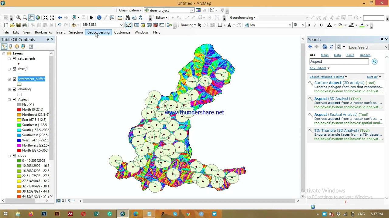


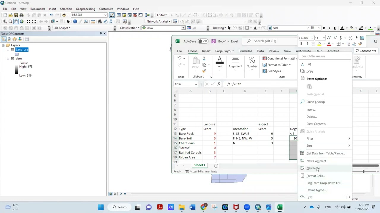
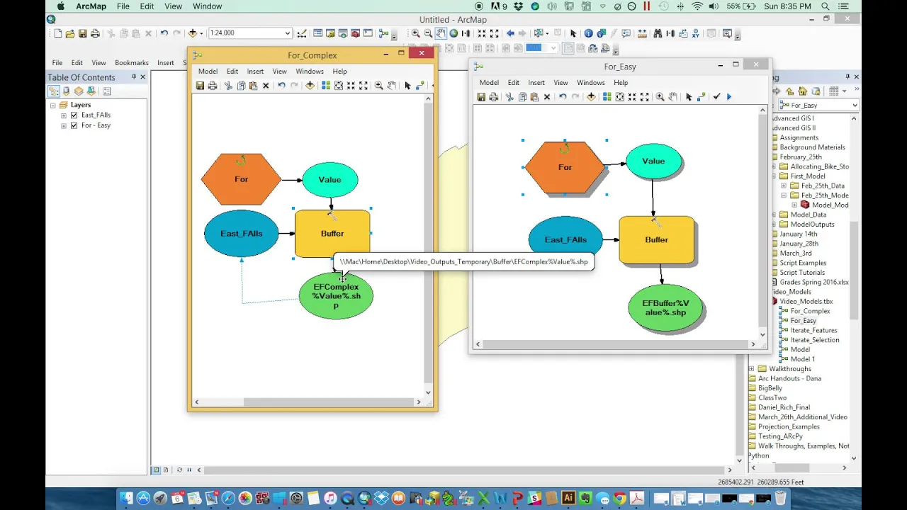




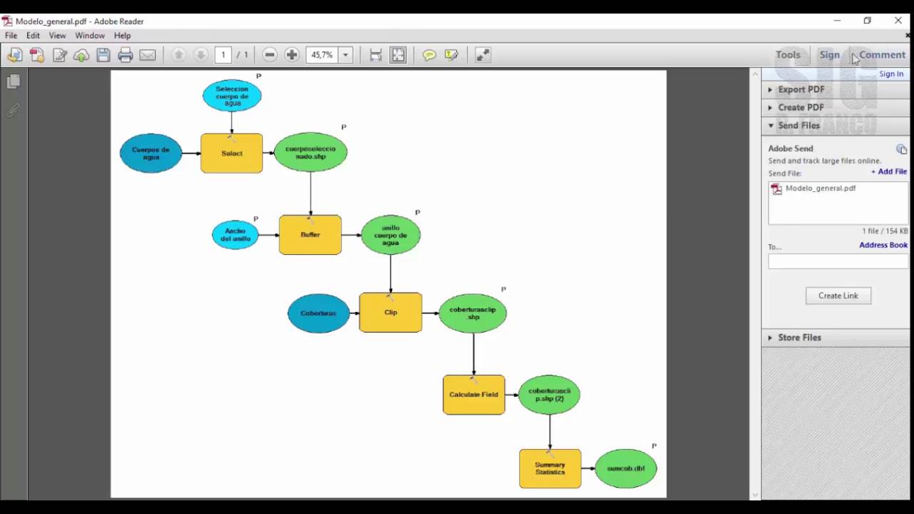

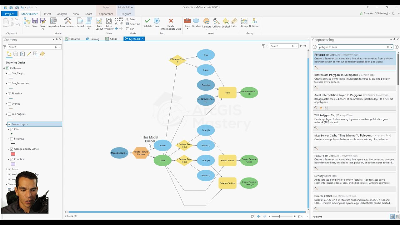







This video tutorial demonstrates how to develop a suitability model in ArcGIS Model Builder for selecting optimal locations for windmill installations. The process involves defining spatial criteria (minimum distances from buildings, roads, marshlands, water bodies, and rivers), applying multiple ring buffering and identity operations to identify suitable areas, reclassifying results into binary suitability scores (0 for suitable, 1 for unsuitable), and combining criteria using the weighted sum tool to produce a final suitability map. Key best practices include setting relative path names for portability, configuring model parameters for user customization, and extracting raster values to evaluate proposed site locations.
Suitability Analysis with Model Builder in ArcGIS | Step-by-Step Guide
Added:Fundamental understanding of GIS data models, specifically the differences between vector (points, lines, polygons) and raster data structures.
Basic proficiency with the ArcGIS Pro or ArcMap interface, including layer management and running standard geoprocessing tools.
The conceptual basis of spatial proximity analysis, such as buffering, and how distance measurements are represented in a GIS environment.
The core principles of Multi-Criteria Decision Analysis (MCDA), specifically how different geographic factors can influence a site selection decision.
Advanced ModelBuilder operations, such as using iterators, preconditions, and feedback loops to automate repetitive workflows.
Transitioning from visual modeling to programming by exporting ModelBuilder workflows into Python (ArcPy) scripts for deeper customization.
Implementing advanced mathematical overlay methods, such as Fuzzy Logic and the Analytic Hierarchy Process (AHP) for complex decision-making.
Conducting sensitivity analysis to evaluate how changes in criteria weighting and scoring impact the final suitability output.
Publishing geoprocessing models as web tools in ArcGIS Enterprise or ArcGIS Online to create interactive suitability dashboards for stakeholders.
60.1K views260likes40:21Original Release: 2012-12-04
welcome back and um today I'm going to show you how to develop a Model A suitability model using model builder and this model should be able to do suitability analysis for the location of a windmill now the the final output should be something that appears like this and um as you can see uh this one has already been completed and it has been run so I just want to show you the stages involved uh in developing this model and what you need to do to get there okay so first off you need data that means um having known the criteria you're going to use you quickly look for the data and in this case the criteria requ uh requires that the suitable site should be located 750 m from any building it should be located 300 M from any um Road it should be located at least 250 M from any Marshland it should be located at least 250 M from any large water body like a lake and it it should be also located at least 200 m from uh any rivers in the area so having known this quickly you should know that you need a data set for Rivers a data set for roads one for buildings one for Marland and one for the roads so and that's what I have um in this um I've loaded this five layers already into acap and to be able to develop uh a model I have also identified uh this the tools that I'm going to need and the stages I'm going to have to go through for each of the criteria and then in the end I'll combine these criteria and come out with one output which should show me uh the suitable the most suitable site for a windmill location um so what I have done already to save time is um to create uh toolbox um in my folder that I'm going to to use for my um outputs I've created a folder on on the desktop I've called it analysis and inside I have named uh inside the the folder I have put all the data that I'm going to need and of course this data comes from uh planners who have already even um pinpointed some uh proposed locations for uh for windmills but they want to know which of these proposed sites is most suitable suitable I can rename this model so we call it um sites selection site selection remember no spaces if you like an under slash underscore okay so that's the first thing we've done and now we can go ahead and open our model to start working on it to start building it it's quite a lengthy process but you have to be very patient and know exactly what you want to achieve such that you don't waste a lot of time for instance I I know that I'm going to need to do uh multiple ring buffering for each of the criteria and so I will drop the multiple ring buffer tool into my uh model then after this I will need to do identity so that I can create um um a geometric intersection for the features with [Music] what we shall begin with rods so what I'm going to do here is to just quickly run through uh all the stages without saying anything and then I'll just explain at the end of the process cuz it's quite lengthy to do both [Music] one get it up with I die for [Music] spee [Music] to back [Music] foree [Music] fore [Music] foree [Music] [Music] for [Music] for for [Music] yeah oh Diana [Music] for for for [Music] you hold you hallelu Hallelujah for the God might R hallelujah holy holy I the Lord God Almighty Worthy is the Lamb Worthy is the Lamb hallelu Hallelujah for the Lord God Al might to [Music] hallelujah holy holy I do like God Alm Mighty who wory is the Lamb who wory the L You Are Holy yes oh holy I like God might [Music] [Music] holy holy oh oh [Music] [Music] [Music] holy ho are the Lord God Almighty Worthy is the wor you are all ho I again might the they in the L in the L in the L [Applause] [Music] [Music] hallelu Hallelujah the Lord God my hallelu Ho Holy I the Lord God Almighty [Music] finally for the for the [Music] last criteria that's buildings build should be look at 750 [Music] Mallu sallu for the Lord God [Music] [Music] hallelujah holy [Music] holy I Gody the You Are Holy oh holy I go [Music] [Music] holy oh [Music] [Music] holy holy are you Lord God [Music] Almighty now what I'm doing here means that uh any location that is located 750 m away will give it a score of zero meaning that is the most suitable location and anything located up to zero um uh M from the site we give it a value one that means it is not suitable so any uh location that we score one we will fall within the category of one is not suitable and that will fall within the category uh uh that will be located 750 m from this site will'll be given the value zero that means it will be the most suitable site okay so we having only two measures for determining um suitable site for the windmill using uh for this criteria and for all other criteria we're doing the same it's either suable or not suitable nothing in between so we give it that and there we are we have our all our five criteria uh CED for but there are some other things we need to do at this point and that is if if we want this model to be used by other people then we are going to have to set some model parameters uh to allow other people to change this model modify it and use use it with any other set of data but also we need to to make that possible we have to to make sure this model stores relative path names as opposed to uh absolute names so we shall activate the function for it to store relative path names instead of absolute path so that people can easily change uh the path names or the path names can easily be um automatically identified by the system when someone uh uses a different set of data otherwise if you don't do this it will be asking for the original source of the original data that was used in the model and that would be a problem so this is good then um one other thing like I was saying is to set model parameters and that means um this these could be areas where you expect someone to want to change the parameters or the values for instance in this case um someone may use a different set of data and a different criteria and they will want to use maybe different distances from Rivers so we make this a model parameter and then we shall also rename it so that it it it looks makes more sense from whoever is going to use it and so we can say input um reverse uh distances so when someone sees this they can know that okay I have to input Rivers uh River distances here we shall make this one also a model parameter and rename it to give to make it more sensible and then we shall say input main roads distances uh then we can make this one also a model parameter and call it ah okay now that's not correct that is not correct why because this is the input uh input reverse data [Applause] set input reverse data set and this one is the input um main roads data [Applause] set okay this one is the input data uh in input water data set water data set and this one is the input uh Mash data set data set you will see why uh this is very important of course you don't forget to make it a model parameter very important and and this one also make it a model parameter and rename it to read input buildings data set now there's one other thing we have to do for each of these study area yeah we make this one also a model parameter and rename it to read [Music] um [Applause] input study area data set okay there's one step missing here for the uh water or Mash mash Area 1 2 3 4 5 2 three 4 five yes there's one okay it's not missing it's right here all right it's just the let's see yeah everything is fine so um there's one other thing we're going to do and that is to make these uh variables and this one will be a variable for the distances of course all of them are going to be distance variable so I need to be able to rename this and say these are the input uh input R distances input River distances make this one also a variable for distances and we shall call it um first of all make it a model parameter make this one also a model parameter then rename this one to input um Marsh distances then we shall also make the building uh distances parameter and rename this to U building distances input [Applause] buildings distances then we'll do the same for the water make it variable um then make it model parameter and rename it input um water distances and finally we do the same for um the main RADS make this a variable model parameter then make it a variable in the model and that means we can now to name this one as [Applause] input um input RADS distances so then we can rearrange our model and uh that's what we get now remember we have just done [Applause] um a few uh we've just complet uh completed some of the preliminary steps but we are looking for one final output which we should be able to get so we're going to now uh punch in uh bringing the weighted sum the weighted sum tool uh which should be able to help us so we'll find the um the tool for weighted sum under the overlay toolbox in the special analysis tools and this one should now enable us to drop in all the output rusters for the five criteria so we shall begin with um the one at the topmost and that is the reclassified um um feature one and we'll go to rec classified feature two then we shall go to the reclassified feature three then go to uh reclassified feature 4 and finally the reclassified feature five now these are called reclassified because we haven't renamed them in the model and this could be a bit problematic to know which is which so that means we have to go and rename um these outputs so this is it's 17 hours okay so we know that this is the output for buildings so we shall rename name it as so we shall rename all of these ones to make them look sensible so we shall now name this one Criterion uh buildings rter resolution 1 then we rename this one Criterion water R resolution one meter then we shall rename this one Criterion main roads Criterion roads rter resolution 1 M rename this one Criterion [Applause] MH rter resolution 1 M and name this one Criterion River reverse rter resolution 1 M so these make more sense than the names before and so now we can quickly know which one to to add from here we start with rivers um then we go to rods and then go to um water then we go to mash and finally buildings so the weighted value for each of these is 1 M but remember it's supposed to be a decimal value but let's try with a weighted sum of an absolute uh figure and see what happens okay so there we go uh um we have um our weighted sum output right here and it is being called weighted reclass but uh from of initial assignment we know that this is the final uh output we are getting and therefore we shall just name it suitable [Applause] locations and enter so um at this point we almost getting to your final output but uh we are not yet there we are not there yet why because this one is a model parameter rather being the final output you would like to add this one to your display in acap and also you probably want to make it a model parameter why um because someone may want to change something um about the model parameter uh rather the the the output could be a name or whatever so at this point you've reached a stage where you can actually run your model and take a look at your outputs uh and see um what you have so let's see uh if this model is ready to be run uh I guess not quite because we haven't yet made this one a model variable let's see um parameter and save always remember to save all right so let's see let's run the model and see what we get if um it will be the result we've been looking for so we run the entire model run it will take some time for results to to come out but you got to be patient until this happens e so like I was saying you will not get a result if this is not a decimal so we're going to make this um a decimal because it has to be a decimal value it's just a standard [Applause] for from the output if we overlay the proposed um windmill sites we can quickly see which of these ones fall in the zone with the lowest value which are the darkest zones and those will be our most suitable locations for a windmill but there is one more step you can do um to even assign values to these points values from the raster uh to these points and be able to label them and even symbolize them to show which ones are more um suit ible than others so we shall just add um one more tool which is the extraction uh tool to extract values from this raser and have them added to the uh windmill locations from the plan and then uh run and see what happens
Up Next

60:49
Renewable Energy Lessons from US & Canadian Projects
@montroseenvironmental731
186 views•2024-08-26

12:54
Triumph of Orthodoxy Icon: Byzantine Art & History Explained
@BenCallan
2.1K views•2024-08-06

9:49
FastAPI vs Flask vs Django: Choosing the Right Python Web Framework
@TechWithTim
302.5K views•2024-05-26

1:42
Game of Thrones Opening Credits: A Cinematic Analysis
@gameofthrones
46.3M views•2011-04-18
Related Study Plans & Knowledge Roadmaps
Structured learning paths in General & Interdisciplinary Studies
general-studies
Elevator Engineering: History, Physics & Cities
01From Hoists to Safety Brakes: The Dawn of Vertical Lift
02Hydraulic vs. Traction: The Engineering Physics of Elevators
03Modern Speed, Safety, and Algorithms
+ 2 more learning modules
12h5 modules
Explore Roadmap
general-studies
Rubber: Material Science, History & Geopolitics
01Origins of Natural Rubber & Mesoamerican History
02The Chemistry of Natural Rubber & Vulcanization
03The Geopolitics of the Rubber Boom & Colonization
+ 2 more learning modules
12h5 modules
Explore Roadmap
general-studies
Containerization: Evolution, Logistics & Trade
01Ancient Trade & Bulk Cargo: Amphorae to Barrels
02The Industrial Revolution & Cardboard Packaging
03The Containerization Revolution: Malcom McLean
+ 2 more learning modules
12h5 modules
Explore Roadmap
general-studies
Textile Tech: Evolution, Labor & Global Impact
01Pre-Industrial Textiles: Handloom & Cottage Industry
02Mechanization: The Spinning Jenny to the Power Loom
03The Factory System & Global Labor Transformation
+ 2 more learning modules
10h5 modules
Explore Roadmap