
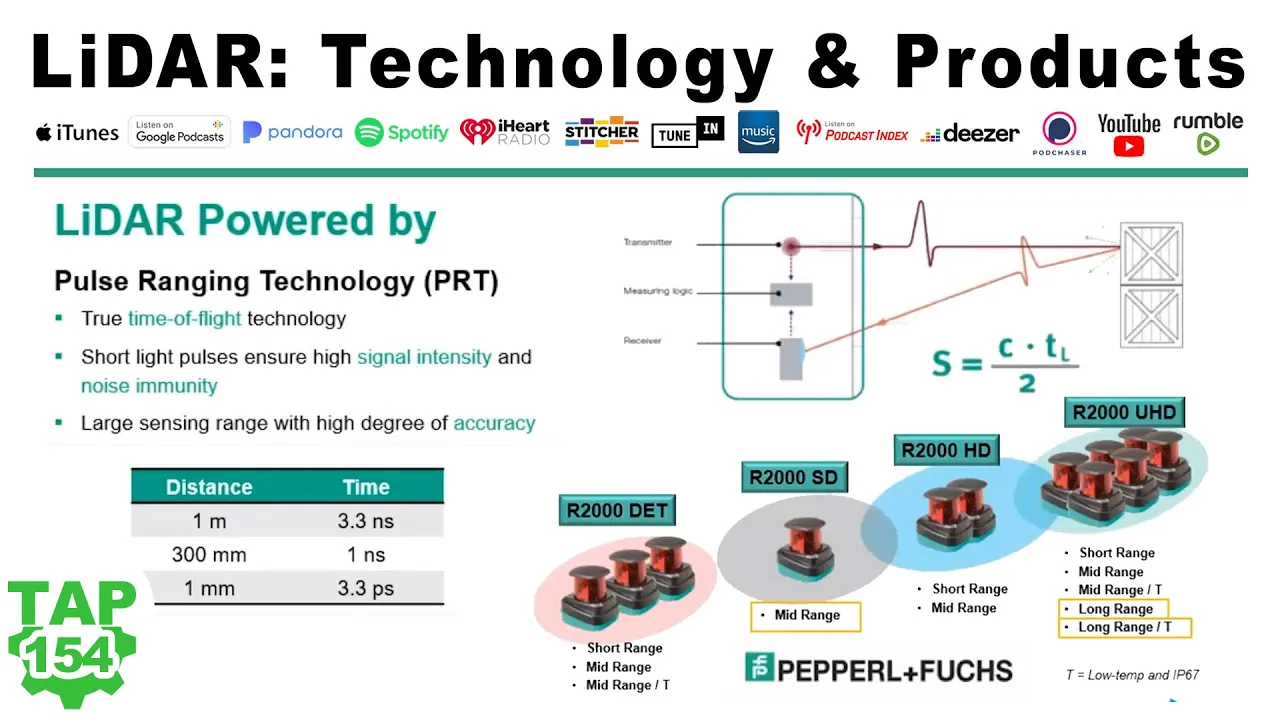




















LiDAR sensors for Automated Guided Vehicles (AGVs) and mobile robots combine triangulation laser scanning with time-of-flight technology to achieve high angular resolution (millimeter precision) and accurate distance measurement, enabling robust navigation and positioning through both reflector-based and contour-based methods; the R2000 series provides synchronized data acquisition with timestamp capabilities for precise real-time navigation, while the OMD-60m offers extended range up to 60 meters on natural targets and 200 meters on reflectors, supporting flexible applications from basic navigation to precision picking and swarm intelligence coordination.
LiDAR Sensors for AGV Navigation & Mobile Robot Positioning
Added:Basic principles of LiDAR (Light Detection and Ranging) technology, including Time-of-Flight (ToF) distance measurement.
Fundamental concepts of mobile robotics, specifically the operational definitions and differences between AGVs (Automated Guided Vehicles) and AMRs (Autonomous Mobile Robots).
Basic robot navigation and localization methodologies, including the concepts of coordinate systems, absolute vs. relative positioning, and feedback loops.
An understanding of industrial sensor interfaces and data transmission basics (e.g., Ethernet, CAN bus, or IO-Link) used to communicate sensor outputs to a controller.
Implementation of SLAM (Simultaneous Localization and Mapping) algorithms using 2D and 3D LiDAR point clouds for real-time map generation.
Industrial safety standards and regulations (such as ISO 3691-4 and ANSI/RIA R15.08) for designing certified anti-collision and protective fields for mobile robots.
Multi-sensor fusion techniques, combining LiDAR data with wheel odometry, IMUs (Inertial Measurement Units), and computer vision to improve positioning accuracy in dynamic environments.
Advanced path planning and dynamic obstacle avoidance algorithms (like Dynamic Window Approach or A*) utilized in complex, high-traffic warehouse settings.
Integration of AGV navigation systems with higher-level industrial software, such as Warehouse Management Systems (WMS) and fleet coordination protocols like VDA 5050.
5.1K views49likes11:22Original Release: 2021-07-20
[Music] hello my name is anna hagemann and i'm business development manager at papillon fox today i would like to show you our lidar product portfolio which is used for navigation and positioning of igvs and mobile robots the products we have are based on the product family r2000 as well as further products like the r2300 our first 3d lidar and the r2100 the r2000 family this is these are the ones for navigation and positioning the r2300 is also for navigation but also anti-collision and r2100 only for anti-collision purposes i will concentrate on the r2000 family today um and our portfolio for of our 2000 products is a wide range of different products which is tailored to the to the to the different types of igvs in size and performance that means different itvs requests different functionality of these products and we have done the products accordingly here we see an example of a typical igb installation with its routes with its vehicles the charging stations as well as the docking stations or placing stations so and this is most likely based on reflectors which are installed inside of the routes or in the surrounding and when we are looking into our product here what have we done or what is specific of the r2000 family the typical installations the typical applications using reflectors uses triangulation laser scanners and these three angulation laser scanners has a very high angular resolution and based on this a precision determination is very precise in the millimeter range whereas time-of-flight sensors which can measure the distance by using the travel time of light they are having a good distance accuracy but most likely lower angular resolution and accuracy and what we have done is now we are combining this technology in one product all of these bose technologies and one product we have a product with a very high outstanding high angular resolution and of course also angular accuracy this is also very important to understand that resolution in a data sheet is not always the accuracy of course not and they have also the distance measurement very accurate here in the r2000 so that we are able with the r2000 to provide robust and very precise navigation and position calculation and the product i have beside this also further information of the returned signal of the reflectivity of the surrounding and this is used to distinguish very easily between reflector and natural targets so with this information also the center of gravity on the reflector can be calculated with another degree of higher angular accuracy than the native the native angular resolution of the device is so the r2000 the principle of the autothoro the mechanic of the r2000 is a rotating measurement module and with this rotating measurement module the r2000 is making measurements very closely or having a close scan line on the environment with a very small spot and this leads to a very high degree of resolution of the surrounding with precise information to do the navigation and with this you can run the r2000 to make reflector navigation as well as contour based navigation in this video you can see how the r2000 provides contour information of the surrounding for the agv and this provides a high flexibility for the agv since it has all information of the surrounding and can understand where to navigate and where to go so this offers possibilities when the sensor detects or see obstacles in the past to give the agv the ability to calculate strategies to go around this obstacle and prevent any collision and of course prevent stops so this kind of flexibility is possible with contour navigation or contour measurement only since the conditions are changing rapidly further on with this information of the contour with this flexibility also a fleet of agvs can maneuver in terms of swarm intelligence that they all uses contour information to see other atvs as well as to see the area where they can maneuver so further flexibility is possible with this kind of measurements in addition to this the accuracy of the r2000 is high enough to do based on contour measurement only also placing and picking maneuvers that the igv picks a good or places a good with a high enough accuracy of a very few millimeters and the product we are promoting for this kind of applications is our omd 60m the omd 60m this is our premium product with the highest range up to 60 meter on natural targets and 200 meters on reflectors and with this parameter with this performance you can do the navigation as well in in large areas you see enough in the far distance on obstacles or on landmarks to do the navigation so with the omd-60m you have a high flexibility in your agv installation you have no infrastructure costs because you don't need any reflectors they just measure or it works on the contour and the surrounding this leads to fast commissioning since this is an easy plug-and-play of your hiv in this environment with a range of 60 meter it can operate as well in large areas and see enough landmarks to do the navigation so the high angular resolution the high distance accuracy the signal strength processing all these features bring it to a very good and robust positioning and navigation further on what the r2000 family provides is besides the angular and distance measurement it data synchronization so the timestamp of a ihv controller and the r2000 can be synchronized in two ways one way is by exchanging a software protocol to do the synchronization or second if you need a very high precision in the time synchronization the r2000 provides also a hardware synchronization with this you can do the synchronization very precise during the travel of the hv when the scan data are received in the agv controller he can determine at what point in time this scan has been generated this is for the pure function of navigation and positioning in addition to this we have some comfort functions which is our interactive display which is around the r2000 with this you have options for do some setups or doing setups of the scanner as well as a alignment tool which helps you to adjust the scanner horizontal that you are giving or the display gives you information where is the level of the scan plane with the invisible infrared light what we have here this is a very good comfort function besides this you as a customer has access to this display and we can see this here in this example using this display we have a driver assistant system here and with the display the operator understand if the igv is focusing him as an operator and following him so with this it also provides status information and makes a very flexible system working let me summarize all the features of our lidar systems we have a wide range of products which is tailored to the different itv types or mobile robot types so not in functionality but as well in economic further on very robust and reliable these products with a wide operating range with a wide distance range the precise data synchronization we have a compact design and we have some comfort features thank you very much for your attention i hope i could inspire you for our products and have a nice day [Music] you
Up Next
12:22
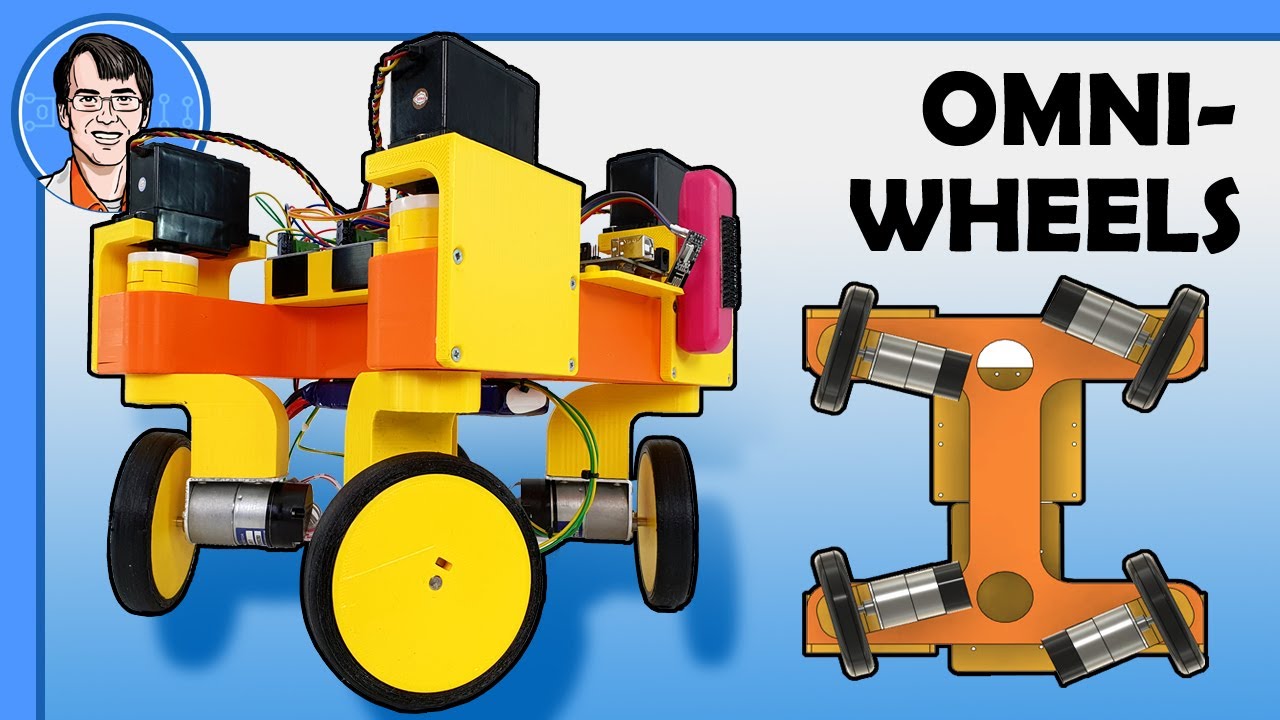
Omnidirectional Robot Steering, Ackermann and Swerve Kinematics Explained
@jamesbruton
101.3K views•2021-11-16

58:25
MathWorks Virtual RoboSub Simulation Environment | Webinar 2026
@RoboNationInc
209 views•2026-03-10

11:04
How to Build a Self-Balancing Robot: Arduino Nano & MPU6050
@easytechzones
16.8K views•2022-03-09
25:22
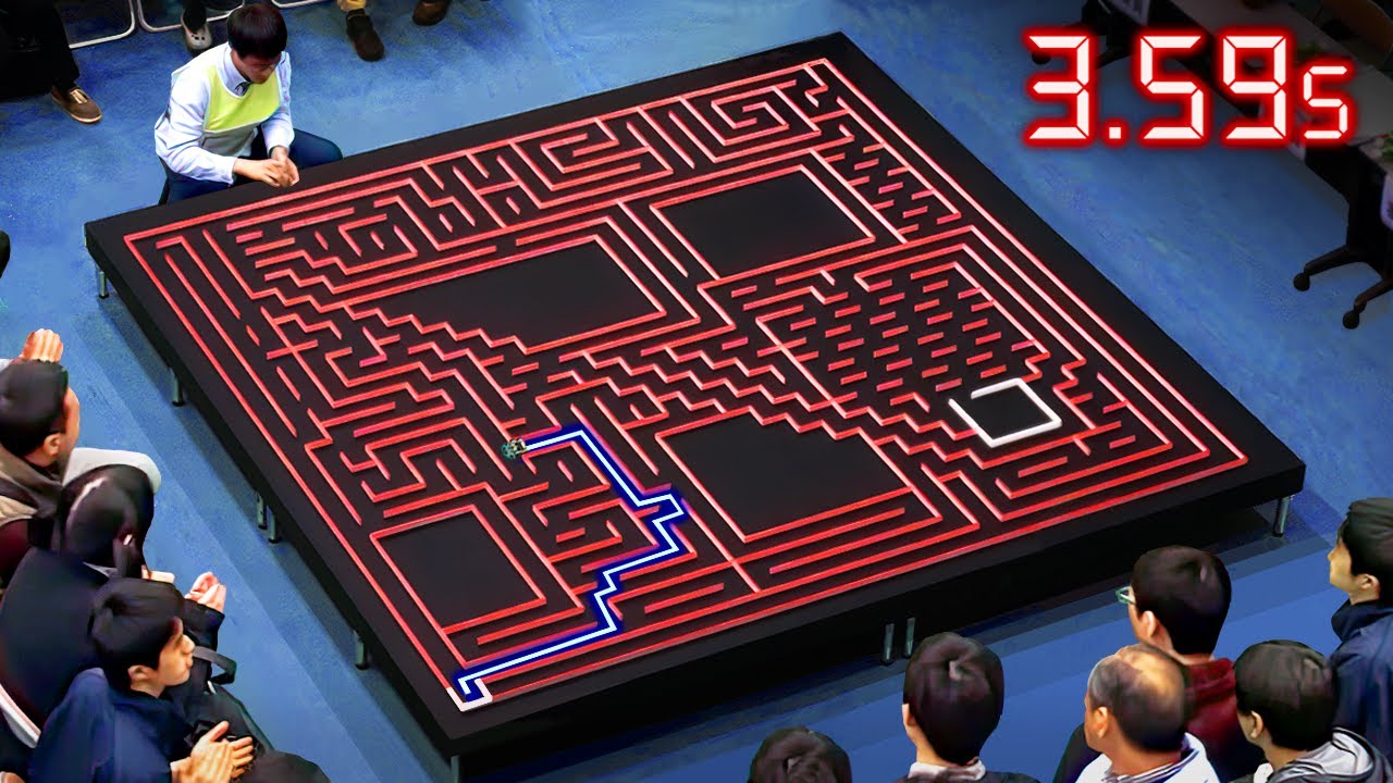
Micromouse: The Fastest Maze-Solving Robots on Earth
@veritasium
23.5M views•2023-05-24
Related Study Plans & Knowledge Roadmaps
Structured learning paths in Robotics
robotics
Building Delta Robots: Kinematics & Pico
01Foundations of Delta Robots & Mechanical Design
02Electronics and Microcontroller Setup with Pi Pico
03Delta Robot Kinematics and Coordinate Math
+ 3 more learning modules
65h6 modules
Explore Roadmap
robotics
Building Ballbots: Dynamics, Kalman & LQR
01Embedded Electronics & Omniwheel Actuation
02Ballbot Kinematics & Rigid Body Dynamics
03IMU Sensors & Kalman Filter State Estimation
+ 2 more learning modules
42h5 modules
Explore Roadmap
robotics
Micromouse: Hardware, PID Control & Flood-Fill
01Electronics & Teensy Microcontroller Basics
02Sensors and Actuators: Motors, Encoders & IR
03Precision Movement: Implementing PID Control
+ 2 more learning modules
35h5 modules
Explore Roadmap
robotics
CDPR: Kinematics, Arduino & Winch Control
01Foundations of Arduino & Basic Electronics
02Stepper Motors and Winch Mechanics
03Kinematics of 2D Cable-Driven Robots
+ 2 more learning modules
28h5 modules
Explore Roadmap