Artificial glaciers, or Ice Stupas, are engineered structures that store water during winter by spraying water into freezing air, creating ice formations that melt gradually during spring and summer to provide irrigation water for agriculture in regions experiencing water scarcity due to climate change.
Ice Stupa Artificial Glaciers: Solving Ladakh's Water Crisis
Added:Deep Dive
Understanding the geography and climate of Ladakh as a high-altitude cold desert with severe seasonal water scarcity.
EVS Complete Course | Travel ( यात्रा ) | Class-24 | Target CTET-2022-23
14.6K
Ladakh is described as a 'cold desert' located at high altitude. The region experiences very little rainfall because it lies in the rain shadow of the Himalayas. When moist monsoon winds from the south approach the Himalayas, they are forced to rise and release their moisture on the southern slopes. By the time these winds reach Ladakh, they have lost most of their moisture and cannot produce significant rainfall. This creates a dry, desert-like climate despite being at high altitude.
Click to watch →

ਪੰਜਾਬ ਤੋਂ ਲੇਹ। Punjab to Leh on Royal Enfield । Documentary । Ghudda
70.2K
Ladakh is the world's highest, coldest, and driest desert, located approximately 250 kilometers from Punjab, featuring dramatic mountainous terrain, ancient Buddhist monasteries, and challenging high-altitude passes like Milam Pass (18,000 feet) and Khardung La Pass (19,240 feet), which represent some of the world's most extreme motorable roads.
Click to watch →

CTET July 2025 SST MASTERCLASS | CTET Paper 2 Social Science Class | CTET 2025 SST For Paper 2
20.1K
Ladakh is a cold desert located in the Himalayas at altitudes of 3,000 to 8,000 meters. It is cold because of its high altitude - as altitude increases, temperature decreases. This high-altitude location makes it a cold desert despite being in a mountainous region. The altitude range of 3,000 to 8,000 meters explains why Ladakh experiences such extreme cold conditions.
Click to watch →

CTET 8 FEB 2026 | CTET S.S.T | छप गया रट लो जल्दी | Most Expected Questions | By Rajat Sir
17.5K
This segment covers Ladakh's geographical and cultural significance: (1) Ladakh as a cold desert historically serving as a trade route on the Silk Road connecting Central Asia to China, (2) Known as 'Little Tibet' because it was a gateway for Buddhism to spread from India to Tibet, (3) Main religious communities are Buddhists and Muslims, with Buddhism arriving approximately 400 years ago, (4) Climate characteristics include extremely low temperatures, strong winds, and minimal rainfall in the form of snow, (5) The statement about 'scorching heat' is incorrect for Ladakh, which is known for extreme cold rather than high temperatures.
Click to watch →

Trans Himalaya (Himalaya ka vibhajan) | Indian Geography #upsc #uppsc #indiangeography
185.5K
Ladakh is a cold desert (Cold Desert) located in the Trans-Himalayan region. It receives very little rainfall due to its high altitude and location in the rain shadow of the Himalayas. This results in extremely cold temperatures and the absence of vegetation, making it one of the harshest environments in the world.
Click to watch →
Deep Dive
The fundamentals of the hydrological cycle in glacier-dependent regions, specifically how seasonal meltwater supports traditional agricultural cycles.
Village Morning Routine in Siachen |Very Difficult life Peaceful and Natural Views
54.7K
In Siachen, agriculture is supported by glacial water that melts from the Siachen Glacier. This glacial water is extremely cold and flows down to irrigate the fields. The video shows how the glacier meltwater is used to water crops, demonstrating the relationship between glacial geography and agricultural practices in the region.
Click to watch →

GC Leong Geography for UPSC | Chapter 6: Landforms of Glaciation | Nirnay IAS | By Kapil Sir
1.4K
Glacial meltwater creates fertile agricultural land. The instructor uses the example of Canadian prairies, where glacial meltwater deposited rich sediments. The Chinnook wind melts snow, making land available for farming and grazing. This demonstrates how glacial processes create productive agricultural regions.
Click to watch →

"Glaciers and Climate Change" (Dr Bethan Davies)
2.1K
As air temperatures increase, glacier volume decreases, but initially produces more meltwater. This creates a temporary 'boom' period where glaciers release greater amounts of water during dry seasons, benefiting agriculture and irrigation. However, this increased meltwater production is temporary because as glaciers shrink, they eventually lose their capacity to store and slowly release water. Once glaciers become too small, they can no longer provide this seasonal buffering function.
Click to watch →
![파키스탄 산골마을에서 어머니가 생긴 일 [파키스탄 EP.4]🇵🇰](https://i.ytimg.com/vi_webp/L-RbK5doIQc/maxresdefault.webp)
파키스탄 산골마을에서 어머니가 생긴 일 [파키스탄 EP.4]🇵🇰
113.6K
The video presenter explains that the well-developed irrigation channels (suro) in this village are maintained because of glacial meltwater. The presenter states that glaciers in the region melt during warmer periods, producing water that is then channeled through these irrigation systems to support agriculture. This demonstrates how mountainous regions with glaciers utilize natural water sources for agricultural purposes, creating sustainable irrigation infrastructure that takes advantage of seasonal glacial melt patterns.
Click to watch →

Shigar Valley At Night | Sarfarnaga Desert | Jinn Stories | Story 46 | VLOG
239.2K
The video describes how glacial meltwater patterns change seasonally in mountainous regions. During late summer months, glaciers begin to recede and some ice melts while other areas refreeze, resulting in reduced water flow in rivers and streams. In contrast, during July (monsoon season), increased glacial melting produces abundant water. This seasonal variation affects local ecosystems, agriculture, and water availability for communities dependent on glacial runoff.
Click to watch →
Deep Dive
The impact of global climate change on Himalayan glaciers and the resulting shifts in spring and summer runoff patterns.
Lecture 04 - "Climate-change impact on Himalayan hydrology"
704
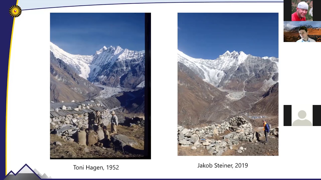
The Himalayas serve as Asia's critical 'water tower,' supplying water to approximately 25% of the global population through major river systems like the Indus, Ganges, and Brahmaputra. Research reveals that while glaciers in the southern Himalayan arc are losing mass at rates of about 40 cm water equivalent per year, the Karakoram region exhibits a paradoxical 'anomaly' where glaciers remain stable or even gain mass due to factors including increased atmospheric moisture from regional irrigation and unique glacier properties. Future projections under the Paris Agreement's 1.5°C warming target suggest 36% glacier mass loss by 2100, while RCP 4.5/6.0 scenarios project 50% loss. However, average water availability may remain relatively stable due to compensating increases in precipitation and glacial melt, though significant challenges include seasonal shifts in runoff timing and increased hydrological extremes, with socio-economic water demand growth potentially exceeding climate-driven changes.
Click to watch →

Daily Newspaper Analysis 31st August 2025|The Hindu Analysis| Indian Express Analysis| The Analyst
8.8K
IIT Indore's study reveals dramatic Gangotri glacier retreat—from 147 glaciers in 1971 to just 37 today—despite global temperature increases of 1.4°C and Himalayan warming of 2°C above pre-industrial levels. The paradox of declining snow melt despite rising temperatures results from reduced precipitation due to increased evaporation. The Gangotri system covers 549 km² at elevations of 3,700-7,000 meters, sustaining 580 million people dependent on Ganga waters. With business-as-usual emissions trajectories projecting 4-5°C warming in the Hindu Kush Himalaya by 2100, this threatens water supplies, food security, and could displace millions. India has launched the National Mission for Sustaining Himalayan Ecosystem and established research station Himman in Chandra basin.
Click to watch →
जलबायु परिवर्तनले हिमालहरु कालापत्थरमा परिणत हुँदै,स्थानीयलाई चिन्ता,छैन सरकारको ध्यान|Global Report
610
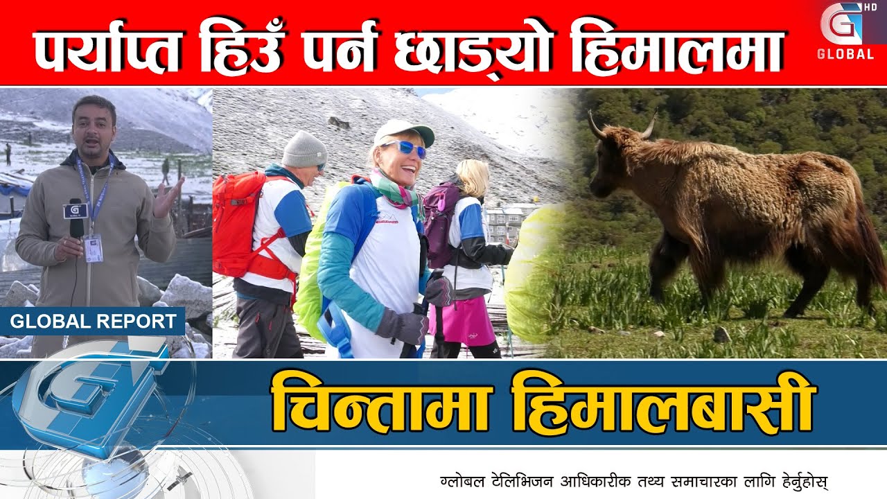
Climate change is causing Himalayan glaciers to melt and recede, transforming snow-covered mountains into bare rock, which threatens local ecosystems, increases landslide risks, and endangers communities in high-altitude regions like Lamtang, while also impacting Nepal's tourism industry and natural beauty that the country promotes globally.
Click to watch →
India: Vertigo at the End of the World | Deadliest Journeys
2.5M
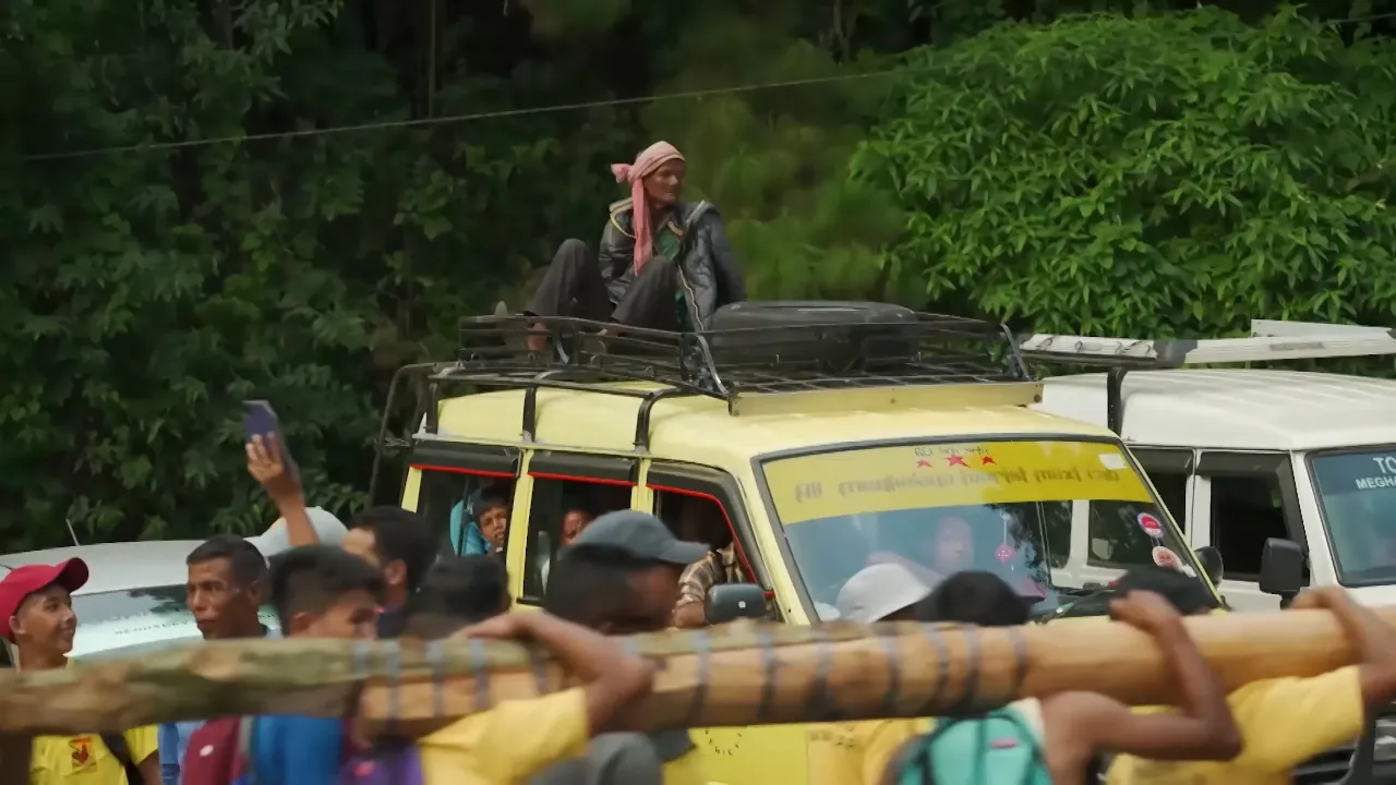
The monsoon is described as the soul of India, being both essential for feeding over 1.3 million people and potentially destructive when it floods everything in its path. The Brahmaputra River, combined with accelerated Himalayan glacier melting, increases flow and eats away at shores rapidly. Local observations indicate Himalayan glaciers are disappearing due to rising temperatures, with less abundant snowfall compared to previous decades. Villagers attribute these changes to pollution. The most dangerous time to drive on Himalayan roads is during spring when snow begins to melt, creating unstable conditions. At high altitudes, winter completely covers roads with ice, eliminating visibility and making travel impossible. These interconnected environmental changes demonstrate how climate change transforms multiple aspects of life simultaneously, from transportation safety to agricultural viability.
Click to watch →

आज लद्दाख, कल तुम्हारा शहर! || आचार्य प्रशांत (2024)
237.2K
Himalayan glaciers are the water source for 150 crore Indians, with most northern Indian rivers depending on them. Rapid melting will first cause floods followed by complete drought. A single glacier contains as much water as an entire river. The ice-albedo feedback loop creates a dangerous cycle: melting ice exposes dark soil that absorbs more heat, causing more melting. Water vapor released from melting glaciers acts as a powerful greenhouse gas, further accelerating warming. This creates multiple interconnected feedback loops that make climate change increasingly severe.
Click to watch →
Deep Dive
Basic physical principles of thermodynamics, specifically how surface-area-to-volume ratio affects the rate of ice melting.

JEE Main 2025 expected problems | Thermodynamics KTG Heat Transfer Calorimetry
664
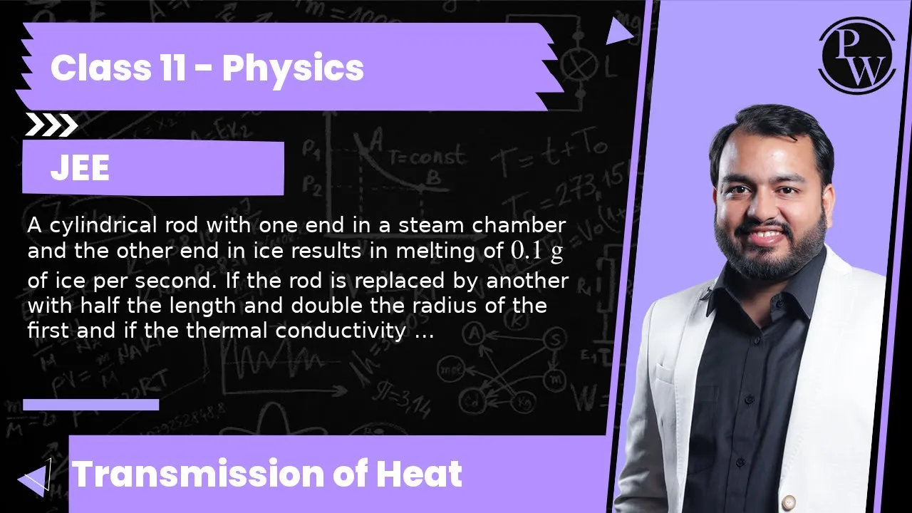
The rate of heat flow through a rod is given by dQ/dt = kAΔT/L, where k is thermal conductivity, A is cross-sectional area, ΔT is temperature difference, and L is length. The heat required to melt ice is dQ = mLf, where m is mass and Lf is latent heat of fusion. Equating these gives the rate of ice melting: dm/dt = (kAΔT)/(L × Lf). Given k = 235 W/m·K, A = πr² = π(10^-3)² m², ΔT = 20 K, L = 0.1 m, and Lf = 3.34 × 10^5 J/kg, the rate can be calculated.
Click to watch →

3 Perplexing Physics Problems
10.8M
In fresh water, cold melted water from the ice cube is denser than the surrounding warm water, causing it to sink to the bottom. This creates convection currents that bring warmer fresh water up to meet the ice cube, accelerating melting. In salt water, melted fresh water is less dense than the surrounding salt water, so it stays near the surface around the ice cube, insulating it from the warmer salt water below.
Click to watch →

Der geheime Handschuh-Trick aus dem Zweiten Weltkrieg, der Soldaten vor Erfrierungen rettete
1.8K
The surface-to-volume ratio principle explains why mittens are warmer than finger gloves. A finger has minimal volume and maximum surface area, making it the worst-case scenario for heat loss. At -20°C with 15 km/h wind, a wool finger glove maintains fingers at +2-5°C, while a mitten of identical material, thickness, and weight maintains fingers at +8-11°C—a 7-10°C difference. This principle applies universally: why round igloos are more efficient than rectangular houses, why cylindrical yurts are better than square tents, why animals curl into balls in cold weather, and why a row house needs 50% less heating energy than a freestanding single-family house. The Mongols understood this principle 3,000 years ago when living in the coldest inhabited climate on Earth. The improvised cold survival system consisted of three parts: (1) Thin wool gloves as an inner layer to wick moisture away from the skin, since wet skin conducts heat 25 times faster than dry skin; (2) Oversized mittens as an outer layer, made from blankets, shirt sleeves, or improvised materials, with a cuff to prevent wind from entering; (3) The belly method for rewarming when fingers became numb.
Click to watch →
A cylindrical rod with one end in a steam chamber and the other end in ice results in melting of ...
868
The rate of ice melting is directly proportional to the heat current through the rod, which depends on thermal conductivity, cross-sectional area, and temperature difference, and inversely proportional to the rod's length. When a cylindrical rod with one end in steam (100°C) and the other in ice (0°C) melts 0.1 g of ice per second, replacing it with a rod of half the length, double the radius (quadrupling the cross-sectional area), and one-fourth the thermal conductivity results in a melting rate of 0.2 g per second, as the heat current doubles due to the combined effects of these dimensional and material changes.
Click to watch →

The Physics of Supercooling
204.7K
Volume scales with the cube of radius (r³), while surface area scales with the square of radius (r²). This means larger objects have proportionally larger interiors relative to their surfaces, while smaller objects have proportionally larger surfaces relative to their interiors. Tiny ice crystals have more surface area per unit volume than larger ones.
Click to watch →
Prerequisite Knowledge
- Concept 01Understanding the geography and climate of Ladakh as a high-altitude cold desert with severe seasonal water scarcity.
- Concept 02The fundamentals of the hydrological cycle in glacier-dependent regions, specifically how seasonal meltwater supports traditional agricultural cycles.
- Concept 03The impact of global climate change on Himalayan glaciers and the resulting shifts in spring and summer runoff patterns.
- Concept 04Basic physical principles of thermodynamics, specifically how surface-area-to-volume ratio affects the rate of ice melting.
Subsequent Learning
- Step 01Comparative analysis of alternative artificial glaciation techniques, such as the horizontal ice reservoirs pioneered by Chewang Norphel.
- Step 02The study of community-driven appropriate technology and its role in climate change adaptation policy within developing regions.
- Step 03The socio-economic and agricultural transformations in mountain communities resulting from stabilized, year-round water micro-infrastructure.
- Step 04Applications of hydrological modeling and GIS (Geographic Information Systems) to determine optimal site selection for artificial glaciers.
Ice Stupa
Ice Stupa
10:05Playing Section
- 1
Details artificial glacier structures for water storage.
- 2
Focuses on construction and purpose of ice stupas.
- 3
Provides information resource via a dedicated website.
Scalability, Technical Limitations, and Systemic Water Management Concerns
While Ice Stupas are celebrated for their innovation, critics and hydrologists raise significant concerns regarding their scalability and long-term viability. First, these artificial glaciers are highly localized, temporary fixes that cannot compensate for the massive volume of water lost to retreating natural glaciers. Their construction and maintenance depend on specific, predictable freezing temperatures; as climate change accelerates, warming winters threaten to render them ineffective by causing premature melting or preventing formation altogether. Additionally, Ice Stupas require extensive plastic piping infrastructure, which poses ecological risks if abandoned, and require high physical labor and maintenance. Critics argue that over-reliance on geo-engineering solutions like Ice Stupas may divert critical resources and attention away from more robust, systemic strategies. These include reviving traditional Ladakhi water harvesting structures (such as 'Zings'), improving groundwater recharge, and addressing the global root causes of climate change.
Deep Dive
Comparative analysis of alternative artificial glaciation techniques, such as the horizontal ice reservoirs pioneered by Chewang Norphel.
Renowned Engr. Chewang Norphel on Water Conservation, Infrastructure Dev., & New Districts
7K
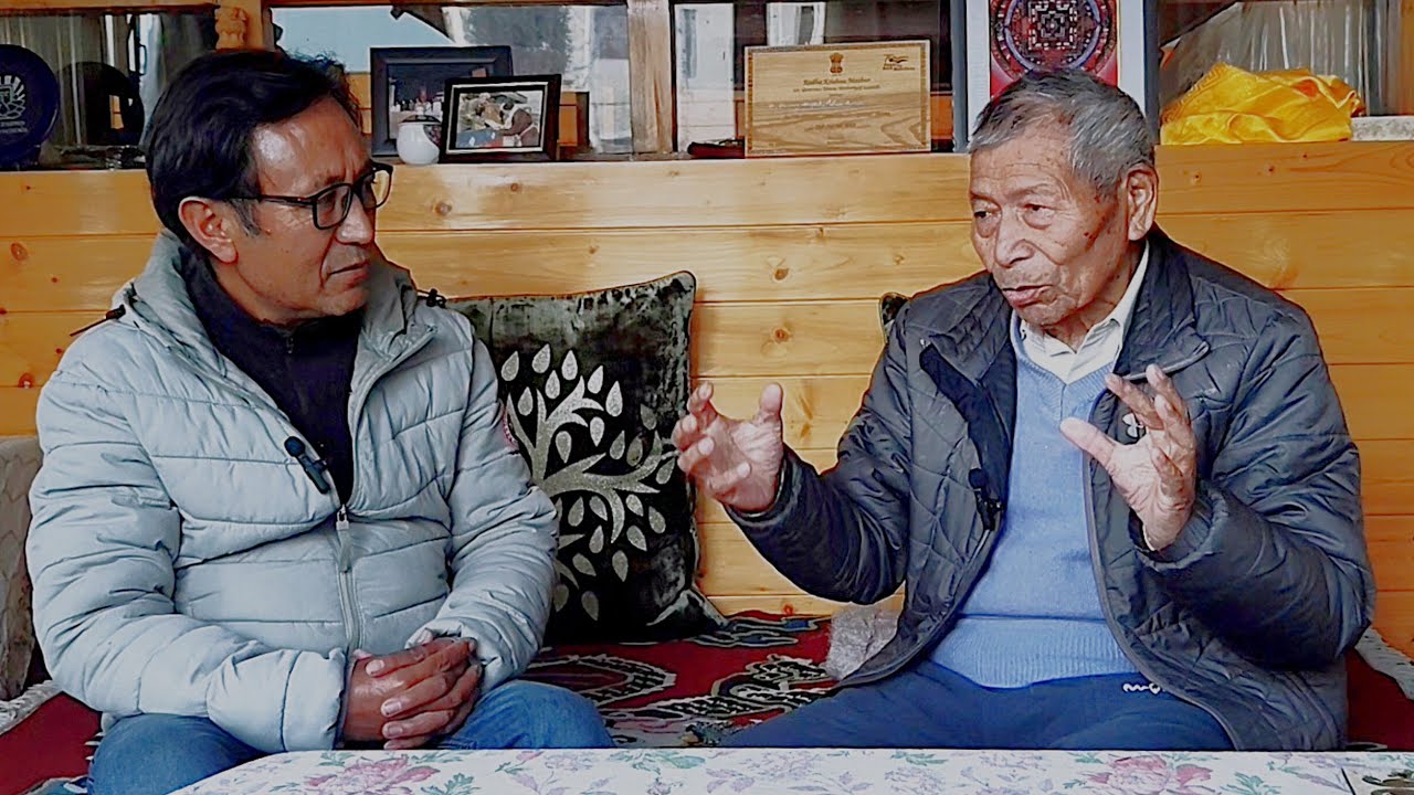
Engineer Chewang Norphel developed horizontal artificial glaciers in Ladakh, India, which store winter snow and ice in horizontal channels, releasing water gradually during spring to address water scarcity for farming communities during the critical agricultural season.
Click to watch →
Ice Man visits Ice Stupa site
21.2K
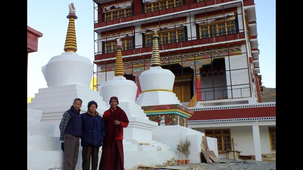
The Ice Stupa is an innovative artificial glacier technology developed by Mr. Chewang Norphel (the 'Ice Man') to solve water scarcity problems in Ladakh's high-altitude regions. Unlike traditional artificial glaciers that store water in flat ponds, Ice Stupas are cone-shaped ice structures built near Phyang monastery that store winter water more efficiently and release it gradually during spring and summer, providing reliable irrigation for agriculture and drinking water for communities.
Click to watch →
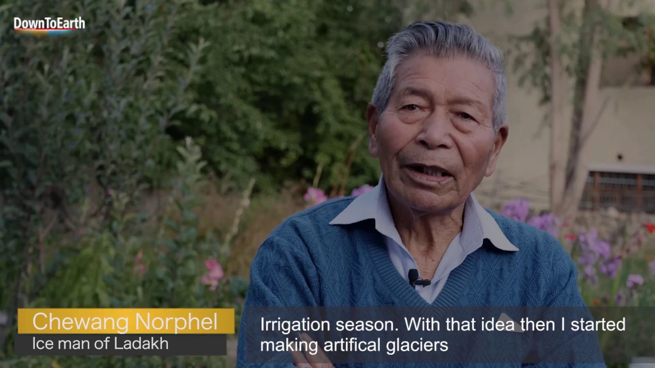
Ice Man of Ladakh: Chewang Norphel who builds artificial glaciers
21.4K
Artificial glaciers are constructed by directing water to freeze in controlled channels during winter, creating ice reservoirs that melt during the critical spring irrigation season (April-May) to supplement natural snowmelt and groundwater recharge, addressing water scarcity in high-altitude regions where climate change has reduced natural snowfall and accelerated glacier recession.
Click to watch →

Why He is Called Iceman Of India?
515.8K
Artificial glaciers are created by collecting winter water in shaded, low-altitude areas where it freezes and accumulates as ice; during summer, this stored ice gradually melts, providing irrigation water for agriculture and solving water scarcity problems in cold desert regions like Ladakh.
Click to watch →

10 Жутких Тайн Самого ЗАГАДОЧНОГО Региона Индии. Ладакх.
4.4K
Chivang Norphel, an engineer from Leh, began restoring the traditional practice of artificial glacier construction in 1987. The method involves diverting winter streams into shaded side valleys and placing a series of low dry stone walls across the slope. Water spreads across the steps and freezes layer by layer, creating a real ice field by spring. By January 2010, over 200 villages in Ladakh were using spring water from artificial glaciers. For this achievement, Norphel was nicknamed the 'Ice Man.'
Click to watch →
Deep Dive
The study of community-driven appropriate technology and its role in climate change adaptation policy within developing regions.
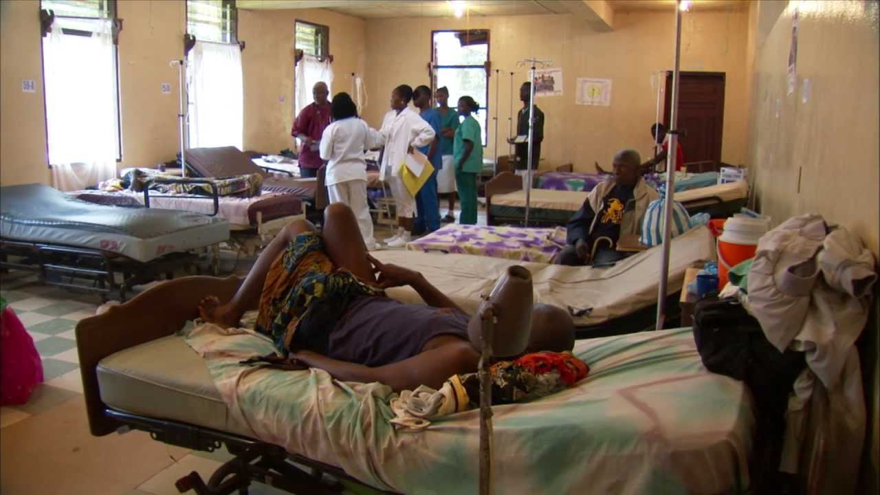
Appropriate Technology for the Developing World
9.1K
Appropriate technology for developing regions involves using accessible, affordable, and sustainable solutions like Frontline SMS (open-source group texting software) and solar-powered computer labs with ruggedized equipment, rather than high-tech entertainment-oriented technology; this approach empowers communities through training and support, enabling applications in health education, agriculture, business, and community development while respecting local realities and infrastructure limitations.
Click to watch →

Appropriate Technology Gains Ground in Developing Countries
26.6K
Appropriate technology refers to low-cost, sustainable innovations designed to meet the specific needs of developing communities while minimizing environmental impact; examples include fuel-efficient stoves that reduce deforestation and ceramic water purifiers that provide safe drinking water, both requiring fewer resources and being easier to maintain than high-tech alternatives.
Click to watch →

Creating Appropriate Technologies for People in Developing Countries
826
Appropriate technology for developing countries must be user-focused, culturally sensitive, and sustainable, requiring deep community engagement and iterative design processes rather than top-down solutions; the Life Pump case study demonstrates how progressive cavity pump technology, designed through extensive field research and partnership with local communities, achieved 100% functionality over six years in Malawi and Zambia by addressing key requirements such as reaching 150-meter depths, requiring minimal maintenance, and providing continuous water access throughout the year.
Click to watch →

APPROPRIATE TECHNOLOGY? at SCIENCE GALLERY
1.8K
The PlayPump case study demonstrates that technologies designed for developing world users often fail dramatically in practice because they prioritize donor aesthetics and Western narratives over actual user needs, maintenance realities, and technical feasibility; this highlights the critical importance of ground-level user consultation, local knowledge integration, and democratic participation in technology design rather than top-down solutions driven by first-world audiences and profit motives.
Click to watch →
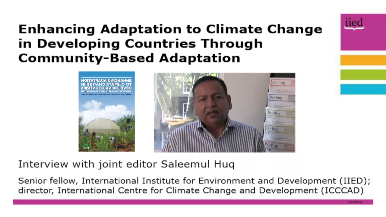
Saleemul Huq: community-based adaptation
663
Community-based adaptation (CBA) is an approach that empowers the most vulnerable households and communities—whether in rural villages or urban slums—to understand climate risks and build adaptive capacity through bottom-up strategies, requiring institutional support and funding prioritization to ensure at least 50% of adaptation funds reach local communities rather than large national projects.
Click to watch →
Deep Dive
The socio-economic and agricultural transformations in mountain communities resulting from stabilized, year-round water micro-infrastructure.

Moment of Thought | 3rd February 2022| NTA
115
Water is the key factor for achieving year-round agriculture. During the rainy season, excess water should be captured through catchments and storage facilities rather than allowed to flow back to oceans or rivers. This stored water can then be used for farming for about 3 months after the rains cease. Building dams and water storage facilities is capital-intensive work, requiring collaboration between federal and state governments. State governments should take key roles in these projects rather than relying solely on the federal government.
Click to watch →

CHÁCARA A VENDA NO NORDESTE COM POÇO E PES DE FRUTAS #chácara
4.9K
The video demonstrates how well water systems enable year-round agriculture regardless of rainfall patterns. The presenter shows a well (poço) that provides water for irrigation, allowing farmers to plant from winter to summer. He explains that even with wells, water distribution can be challenging over long distances (700 meters), and water is not free despite being 'water of God.' This illustrates the importance of water infrastructure in sustainable agriculture.
Click to watch →
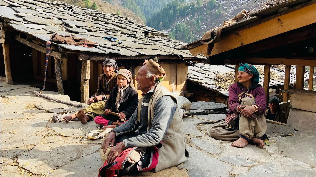
Living in the remote Himalayas | Village Life in Uttarakhand| Uttarakhand Trip| The Young Monk
996.2K
A natural stream originating from mountains provides continuous water supply throughout the year. During snow seasons, the stream remains active and accessible, though its flow may change. This reliable water source supports daily village activities including drinking, cooking, and irrigation needs for the community.
Click to watch →

ตามหาถ้ำที่ทหารพม่าเคยเอาสมบัติมาซ้อน”ในสมัยอยุธยา..หาจนเจอ ถ้ำสวยจริงๆ
56.5K
This video explores a sacred cave in Thailand's mountainous region that has remained sealed for over 30 years, featuring a year-round water source (น้ำซับ) that supports local wildlife including wild pigs, deer, and other animals, demonstrating how natural water sources in mountainous areas sustain ecosystems even during dry seasons.
Click to watch →

Por què deberías Construir Microtuneles en tu casa?
326.3K
Microtunnels are low-cost agricultural structures that enable year-round crop production by creating a controlled environment through the greenhouse effect, where solar radiation heats the interior while trapping infrared radiation, resulting in 3-6 times greater yields than open-field cultivation; construction requires selecting a sunny location with proper wind orientation, using flexible materials like plastic tubing for arches and nylon or polyethylene for the covering, and anchoring the structure with iron hooks to withstand environmental conditions.
Click to watch →
Deep Dive
Applications of hydrological modeling and GIS (Geographic Information Systems) to determine optimal site selection for artificial glaciers.

QSWAT, the hydrological model in QGIS 1 of 4
12.2K
QSWAT is a hydrological modeling plugin for QGIS that enables users to simulate water quantity and quality at watershed scales through a three-step process: watershed delineation using digital elevation models, creation of Hydrologic Response Units (HRUs) by combining land use, soil, and slope data, and model simulation with climate inputs; the workflow involves preparing climate data (precipitation, temperature, wind, solar radiation), digital elevation models, land cover maps, outlet locations, and soil data, then running simulations to predict surface and groundwater responses.
Click to watch →
👨🏫 Introducción al Modelamiento Hidrológico e Hidráulico | CAEG
366
This comprehensive introduction covers the fundamentals of hydrological and hydraulic modeling using free and open-source software including QGIS, HEC-HMS, HEC-RAS, and IBER. A hydrographic basin is defined as a system with precipitation as input and discharge, evapotranspiration, surface flow, and infiltration as outputs. Basins are classified by area: microbasins (<5,000 ha), subbasins (5,000-50,000 ha), and main basins (>50,000 ha). QGIS enables creation of thematic maps for hydrological results. Digital Elevation Models (DEMs) come in two types: DTM measures bare earth elevation while DSM includes all surface features. Basin delineation involves reprojection, depression filling, flow direction calculation, and flow accumulation analysis. Critical challenges exist in coastal areas with low slopes and urban development where freely available DEMs may behave as DSM rather than DTM, causing delineation errors.
Click to watch →

Sonam Wangchuk - Ascent Conclave 2016
200.3K
Experimental techniques are being developed to create permanent artificial glaciers that grow year after year. By siphoning water from dangerous lakes and refreezing it into multiple ice loops, these structures merge and expand each winter, eventually forming large ice sheets that don't fully melt in summer. This represents potential human-induced reglaciation of the Himalayas for the first time in 10,000 years.
Click to watch →

10- المحاضرة رقم (10) _ تحليل البيانات (تحليل هيدرولوجى) - د جمعة داود
7K
Geographic Information Systems (GIS) is a scientific discipline, not merely a computer program. The software (ArcGIS) is a tool to apply GIS science. To become a GIS specialist, one must first understand theoretical foundations before learning practical software operations. Recommended resources include the free book 'Fundamentals of Spatial Analysis within GIS Framework' and the Free Digital Library on Forshed containing educational materials. Hydrological analysis is a critical spatial analysis technique with applications in geographical, engineering, and environmental studies. It requires a Digital Elevation Model (DEM) as the primary input. All hydrological tools in ArcGIS are located within the 'Spatial Analyst' category under the 'Hydrology' subcategory. The recommended learning approach involves first understanding theoretical concepts, then reading reference materials, and finally practicing with software implementation.
Click to watch →
Clase 14 GEOMATICA 2021-04-19
386
Geographic Information Systems (GIS) are computer-based tools for capturing, storing, manipulating, analyzing, managing, and presenting spatial or geographic data. The instructor introduces several GIS platforms including ArcGIS (commercial, widely-used with continuous development), QGIS (free and open-source alternative), and other less-known systems. ArcGIS includes extensions like SWAT (Soil and Water Assessment Tool) developed by researchers from Texas A&M University, which transforms rainfall data into streamflow and calculates sediment transport for reservoir design. Reservoir design requires two distinct hydrological calculations: continuous flow calculations to determine dam height based on water availability, and maximum flood flow calculations to design spillways. Engineers must also determine sediment inflow rates, convert mass to volume, and calculate total sediment accumulation over the design life to position water outlets appropriately.
Click to watch →
Ice Stupa
Ice Stupa
10:05- 1
Details artificial glacier structures for water storage.
- 2
Focuses on construction and purpose of ice stupas.
- 3
Provides information resource via a dedicated website.
Scalability, Technical Limitations, and Systemic Water Management Concerns
While Ice Stupas are celebrated for their innovation, critics and hydrologists raise significant concerns regarding their scalability and long-term viability. First, these artificial glaciers are highly localized, temporary fixes that cannot compensate for the massive volume of water lost to retreating natural glaciers. Their construction and maintenance depend on specific, predictable freezing temperatures; as climate change accelerates, warming winters threaten to render them ineffective by causing premature melting or preventing formation altogether. Additionally, Ice Stupas require extensive plastic piping infrastructure, which poses ecological risks if abandoned, and require high physical labor and maintenance. Critics argue that over-reliance on geo-engineering solutions like Ice Stupas may divert critical resources and attention away from more robust, systemic strategies. These include reviving traditional Ladakhi water harvesting structures (such as 'Zings'), improving groundwater recharge, and addressing the global root causes of climate change.
Understanding the geography and climate of Ladakh as a high-altitude cold desert with severe seasonal water scarcity.
The fundamentals of the hydrological cycle in glacier-dependent regions, specifically how seasonal meltwater supports traditional agricultural cycles.
The impact of global climate change on Himalayan glaciers and the resulting shifts in spring and summer runoff patterns.
Basic physical principles of thermodynamics, specifically how surface-area-to-volume ratio affects the rate of ice melting.
Comparative analysis of alternative artificial glaciation techniques, such as the horizontal ice reservoirs pioneered by Chewang Norphel.
The study of community-driven appropriate technology and its role in climate change adaptation policy within developing regions.
The socio-economic and agricultural transformations in mountain communities resulting from stabilized, year-round water micro-infrastructure.
Applications of hydrological modeling and GIS (Geographic Information Systems) to determine optimal site selection for artificial glaciers.
3.2M views88.8Klikes10:28@SonamWangchuk66Original Release: 2015-05-03
Or visit www.icestupa.com
Up Next
3:53
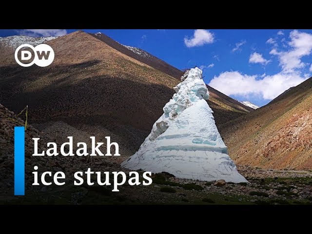
Ice Stupas: Artificial Glaciers Combat Water Scarcity in Ladakh
@dwnews
129.7K views•2019-12-30

15:54
Life in Biosphere 2: Sustainable Ecosystems & Human Survival
@TED
334.9K views•2009-06-16

14:30
Microplastics Everywhere: How Plastic Impacts Our Lives
@TEDx
100.9K views•2018-05-08

17:53
Condit Dam Removal: White Salmon River Restoration, Decommissioning and Salmon Passage
@PacificPower1
2.8M views•2013-08-21
Related Study Plans & Knowledge Roadmaps
Structured learning paths in Environmental Science
environmental-science
Ocean Noise: Cetacean Impacts & Mitigation
01Fundamentals of Underwater Acoustics
02Marine Mammal Bioacoustics
03Anthropogenic Noise: Shipping & Seismic Surveying
+ 2 more learning modules
16h5 modules
Explore Roadmap
environmental-science
Road Ecology: Corridors, Overpasses & Fencing
01Foundations of Habitat Fragmentation and Carnivore Ecology
02The Road Barrier: Ecological Impacts of Transport Infrastructure
03Principles of Ecological Corridors and Connectivity Mapping
+ 3 more learning modules
14h6 modules
Explore Roadmap
environmental-science
Ocean Acidification: Kelp Buffering & Shellfish
01Fundamentals of Ocean Chemistry & pH
02Chemical Pathways of Coastal Acidification
03Bivalve Physiology & Calcification Under Stress
+ 2 more learning modules
18h5 modules
Explore Roadmap
environmental-science
Ice Stupas: Glacial Retreat & Water Security
01Foundations of Glaciology & Mountain Hydrology
02Climate Change and Glacial Retreat Dynamics
03The Science of Ice Stupas & Artificial Glaciers
+ 2 more learning modules
14h5 modules
Explore Roadmap