













![[ΝΤΟΚΙΜΑΝΤΕΡ] ΠΩΣ ΝΑ ΧΤΙΣΕΙΣ ΜΙΑ ΠΟΛΗ - ΝΕΑ ΥΟΡΚΗ](https://i.ytimg.com/vi_webp/ALbvwDSrof4/maxresdefault.webp)


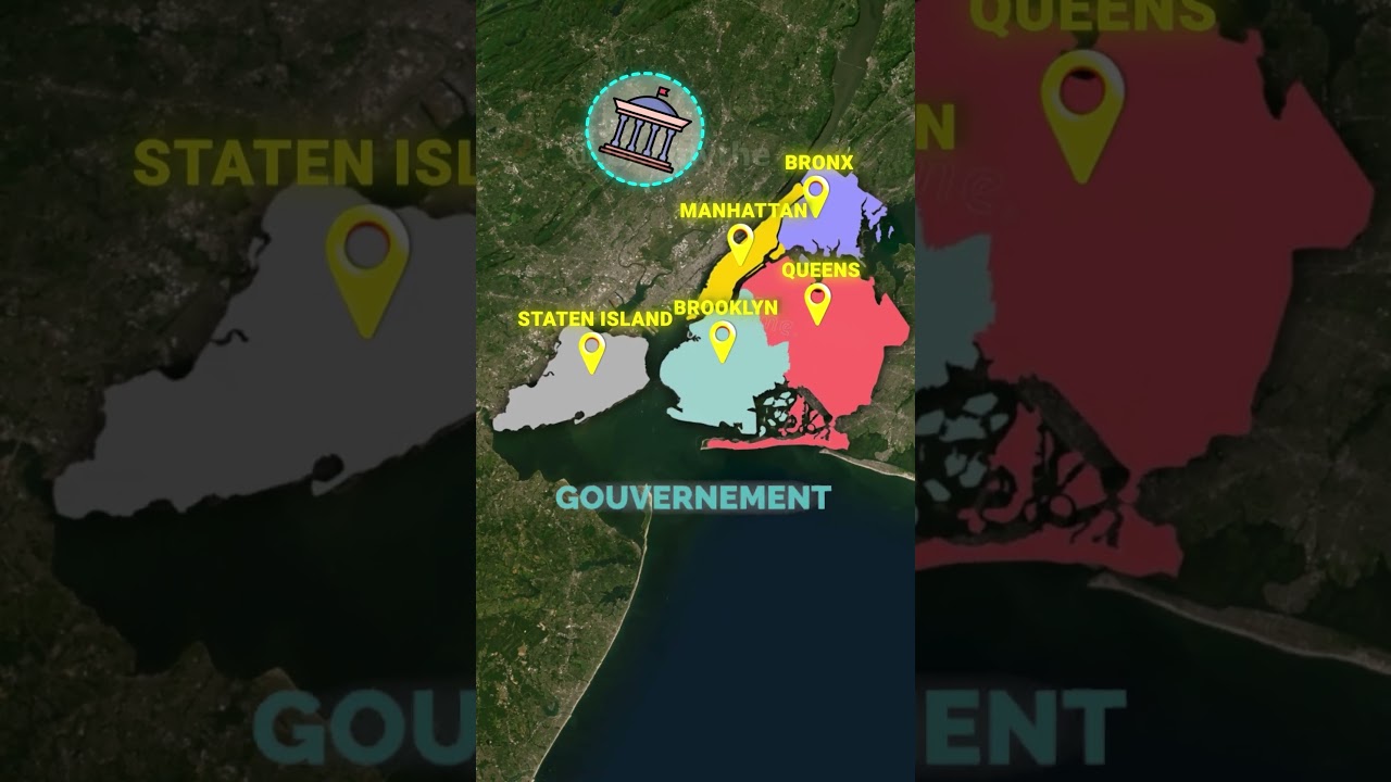
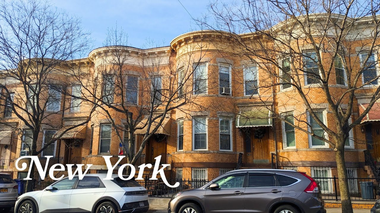
Brooklyn's complex street pattern, unlike Manhattan's orderly grid, reflects its origins as six separate Dutch farming communities (Flatlands, Gravesend, New Utrecht, Flatbush, Bushwick, and Brooklyn) established in the 1600s, which later merged into one city; this organic growth pattern, combined with key infrastructure developments like the Brooklyn Bridge (1883) and subway system, enabled Brooklyn's population to grow from 5,000 in 1800 to over 2 million by 1920, eventually leading to the 1898 consolidation that created modern New York City.
The Evolution of Brooklyn's Map: Urban History Explained
Added:Basic principles of urban planning, including the difference between planned grid systems and organic, historical city growth.
The colonial history of New York, specifically the Dutch settlement of New Netherland and the establishment of early agricultural townships.
Geographical familiarity with the New York metropolitan area, particularly the relationship between Long Island, Manhattan, and the East River.
The concept of municipal incorporation and how independent towns or villages historically consolidated into larger urban entities.
The Consolidation of 1898, exploring the political, economic, and social consequences of Brooklyn losing its status as an independent city to merge into Greater New York.
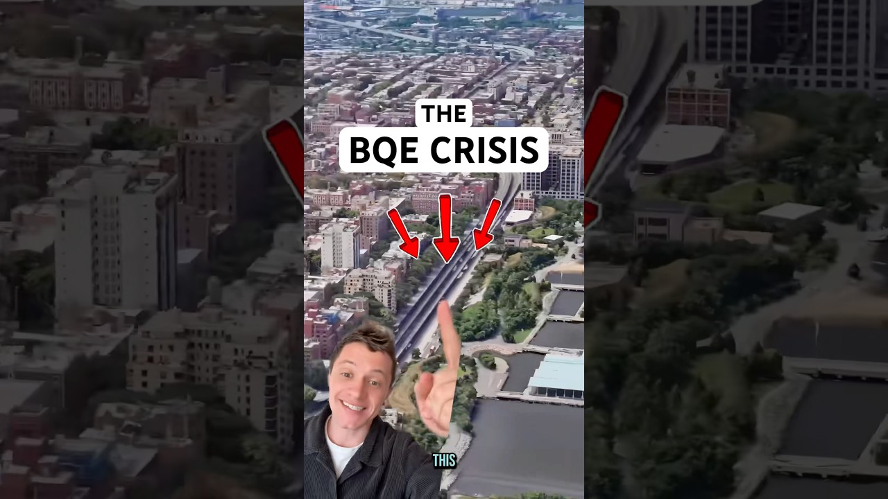
The impact of 20th-century transportation infrastructure, such as the construction of the Brooklyn-Queens Expressway (BQE) and the subway system, on the historic street grids.
Modern urban issues in Brooklyn, including how colonial-era boundaries still influence contemporary neighborhood identities, zoning laws, and gentrification patterns.
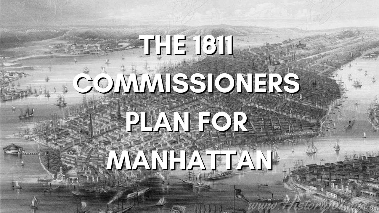
Comparative urbanism, analyzing how Brooklyn's decentralized multi-township evolution compares to Manhattan's rigid Commissioners' Plan of 1811.
772K views25.3Klikes24:21Original Release: 2024-11-03
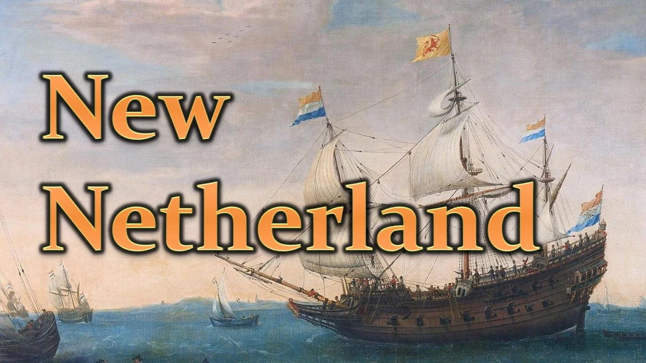
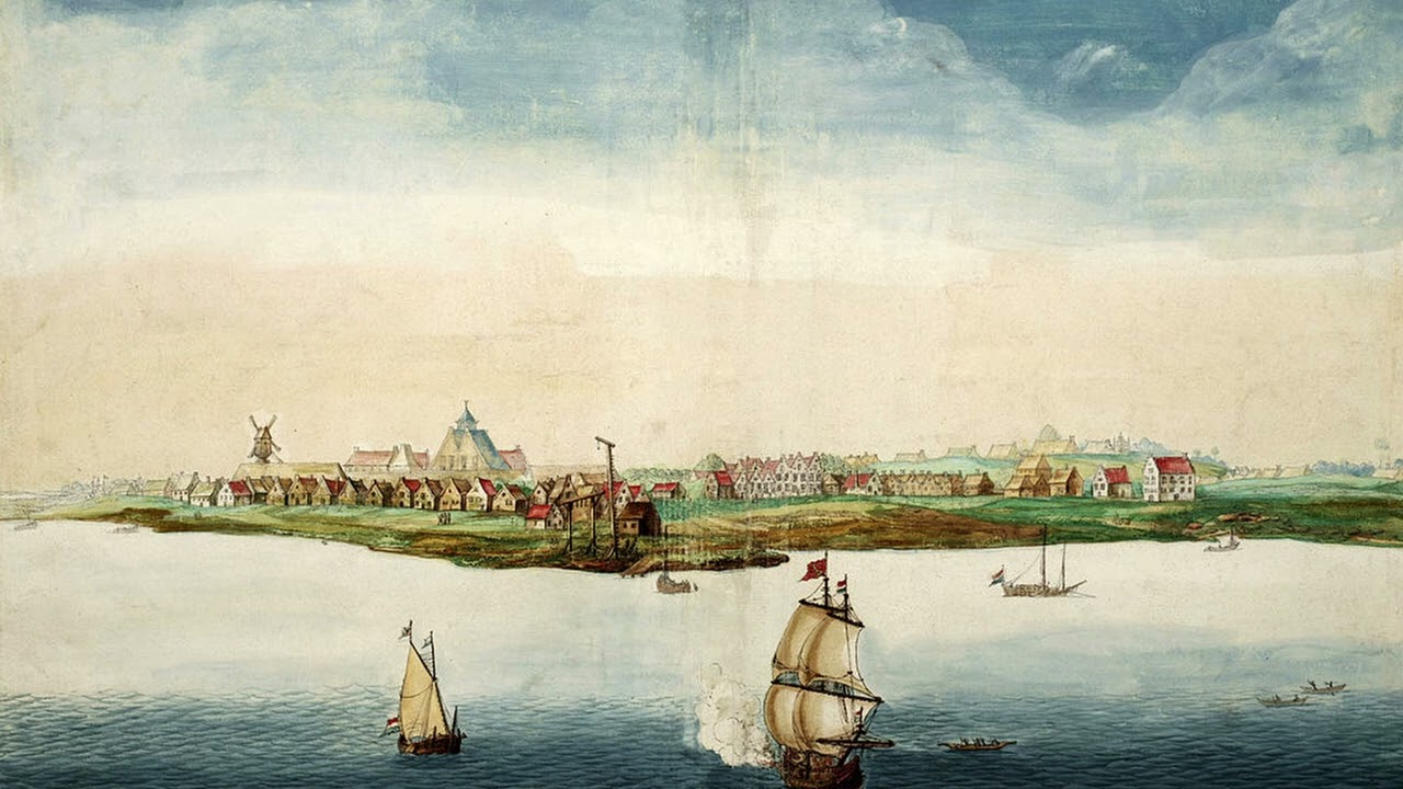
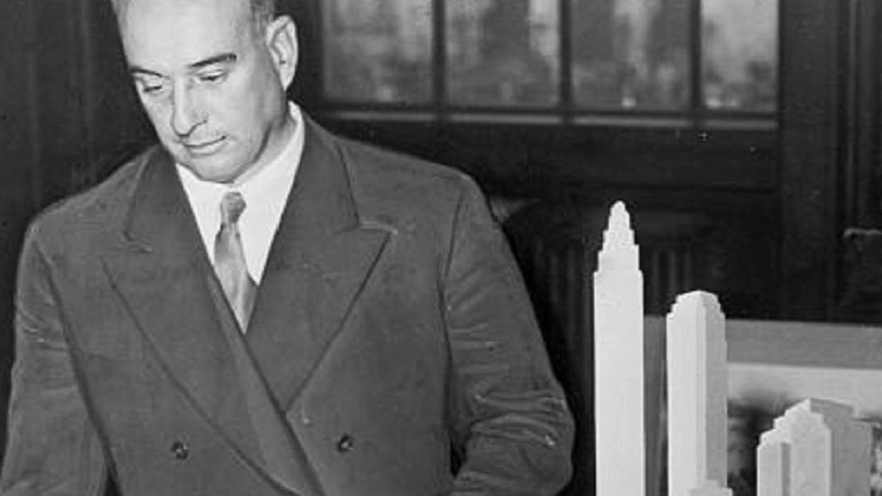
[Music] the map of Brooklyn is kind of hard to wrap your head around it's the second largest of New York City's five burus making it three times bigger than Manhattan Brooklyn is huge right Brooklyn is huge thanks to the grid pattern covering most of Manhattan it's pretty easy to make sense of but Brooklyn does not have that same luxury the streets here are not regular Brooklyn is basically what Manhattan would have been had there been no 1811 Commissioners plan as I started looking at Old maps of Brooklyn I realized that there's actually a bigger story here and it's about the growth of New York City so I want to look at several features on this map that tell that [Music] story for millions of years the earth has been shaping a place perfect for a city of Commerce there are three islands at the bottom of the Hudson River that form one of the greatest natural Harbors in the world one that rarely froze in the winter despite it's high latitude and it's pretty much the only really massive Harbor on the East Coast like that in the winter time and so you have all these Native American tribes that are out on the island who are whaling tribes so their big opportunity to trade their goods is in the winter so they're going to head down the edge of Long Island towards Manhattan to trade what they have in 16009 Henry Hudson sailed into this Harbor and his first mate wrote it was a very good Harbor for all winds he also wrote about the the fertile land and the beaver pelts and the trade that they had done with the indigenous population when word got back to the Netherlands of how nice this place was it was short order before they set up the Dutch West India Company to exploit the hell out of it this part of history is usually brushed over pretty quickly because we think of the English and the Spanish and the French as being the colonizers of America but the Dutch were doing it too they established a huge colony called New Netherland that went from up the Hudson River to about where is down all the way to Delaware and the capital of New Netherland was New Amsterdam settled on the tip of Manhattan the lower part of Manhattan uh they had set up as a fairly urbanized Colony as you've seen from the Castell plan the Castello plan is the oldest map we have for New Amsterdam Toya Dubin has been working for the last 15 years on a project with the New Amsterdam History Center where they've been taking this Castello map and making it 3D we make 3D models an encyclopedia and a series of slider Maps which integrate with one another I think this is so sick and it was a huge resource for this video there's a link in the description so you can go poke around not only on the 3D model but also through a bunch of resources on that site and the relationship between Manhattan and this portion of Long Island that would become Brooklyn is really important they needed surrounding Farmland very much the way European Villages and cities are set up where you have an urbanized Center and you have big big fields and Farms surrounding it and goods are brought in from those surrounding fields and farms and that's part of what makes that little urban center sustainable to understand it more I worked my way into Brooklyn and met up with Fran Leen he helped me on the video of Broadway since he's written a book about it and has taught a bunch of classes about the history of Brooklyn so I figured he'd be the perfect person to talk to to get our bearings a bit and to understand the beginnings of Brooklyn we went to Prospect Park which is probably the biggest visual anchor on the map there was a glacier that came down which was called the wisconsinan ice sheet that covered New England and the Hudson River Valley when the glacier retreated and melted it left that Ridge of land behind and that's called the terminal marine and that is still evident in Brooklyn right here in Prospect Park uh Greenwood Cemetery just to the West is also part of that this terminal Marine has had a big impact on the map of Brooklyn the shape of modern Brooklyn was largely determined by six settlements these are the anglicized versions of the names that still persist except for new utre which I guess sounds English enough and Gravesend which was the only one of the six that actually was English from the beginning the Six Original townships that formed what is today Brooklyn were farming communities those were established in the bottom land it was much more conducive to farming in fact the oldest building in all of New York City is an unassuming Dutch Farmhouse right here in what was originally Flatlands it's also probably in the top three oldest wooden structures in the entire us so the hills since they weren't conducive to farming they didn't tend to develop the same way that the rest of the city did which is why they were left over and could be made into things like parks and cemeteries and those six original towns are like the incubator for all of Brooklyn if you're enjoying this video please hit that subscribe button we're up to 180 something, subscribers and it means the world it's also making me a lot more aware of my general presence online but thanks to today's sponsor delete me I feel a lot safer there are companies and people out there who gather your information online and sell it to other people these are called Data Brokers and thanks to delete me you can protect yourself against having your information sold on these data broker websites data Brokers find your information from government and public records and your online presence in general and once you sign up for delete me they'll scour through all of the websites that have your information and delete it off those sites for you then they will provide you with a full report of all the sites they searched where they removed your data and they will do this within 7 Days of you signing up not only does delete me remove your information from these sites but they continually check to see if your information reappears and they'll continually delete it and send you regular reports for example I signed up for delete me and they scoured over 2,000 websites where they found my information on over 150 of them and removed it delete me is offering you 20% off us consumer plans so go to join delet me.com Steiner and then use the code Steiner when you're checking out to get that discount thank you so much to delete me for not only cleaning up my information online but for sponsoring this video it's what makes all of this possible if you use that link which I'll put at the top of the description it makes a big difference and really helps me let's get back to the video about Brooklyn's map so these six towns were mostly Dutch and the foundation of modern Brooklyn the definition of Brooklyn changes through the centuries cuz if we were to talk about Brooklyn right Brooklyn back then was only one of those little six towns right my name is Michael Michonne I'm a native New Yorker and the former Manhattan burough historian and to me it's critical to my identity that people know I'm a native New Yorker this is a timeline for the population growth of each burough the red line represents Manhattan and this yellow line represents Brooklyn and Michael's going to help us understand what happened right here because it directly led to Brooklyn outpacing Manhattan but in order to understand this it's important to see that New York and Brooklyn were two separate cities that developed differently just like this portion of Long Island that would become Brooklyn had a scattering of villages so too did Manhattan the Manhattan grid the commissioner plan of 1811 eradicated any difference between those Villages and filled in all the space between which had been farmland and it made Manhattan work according to a single spatial system that people can understand pretty quickly I made a whole video about the grid of Manhattan so I'll link that in the description but also know that Brooklyn is three times the size of Manhattan which I've made two videos on so far and still not scratch the surface so just know I'm not going to cover everything in this video most people who live in Manhattan or who visit it they kind of understand the different parts and they understand how they go together and that's all because of the grid because of the streets and avenues that makes sense of Manhattan and Brooklyn just doesn't have that Brooklyn relies more on the big landmarks for orientation there's like Prospect Park Greenwood Cemetery Atlantic Avenue Flatbush Avenue and people know where those things are and that kind of orients them but the neighborhoods are kind of not following any common logic as Fran mentioned these were farming communities the land here was really really fertile and the Dutch were not the first to discover that Brooklyn had sections of it that were extremely productive Native American corn fields this map is one of the earliest that shows the area that would become Brooklyn and New York and you can see on it these long houses that belong to lape families this was kind of a gathering ground for different Native groups but the Dutch waged war on all of them using the website She's Been Working on Toyo showed me a timeline of the different land claims in the area and you can see how the Dutch took it for themselves especially under William Kei a brutal director of New Netherland by the time you get past k War almost this whole area now has become deed over so he's controlling almost the entire Waterfront facing New Amsterdam it was a land grab this war was a land grab after the Dutch had been colonizing here for about 50 years the English came and took it from them it was mostly through diplomatic ways and there was a bit of back and forth but eventually the English took over and this is when New Amsterdam became New York and that's when this part of Long Island became King's County we shouldn't be talking about current day Brooklyn as Brooklyn we should call it King's County so King's County doesn't change under English rule into the American era what was then called King's county is what today's New Yorker thinks of as Brooklyn I found it interesting that in the Dutch Colony one of these six settlements was English but it turns out that's not even close to being the most interesting thing about Graves end I wanted to see this place in person so I had Fran take [Music] me this is an early plan for Graves end and this is not the grid I think of when I think of New York City yet this was the first street grid within the entire modern city 150 years before Manhattan's grid the fact that it's a grid was only one of the uncommon things about its layout for the time it had a large public space for each block and it had these radiating boundary lines for Farms that correlated to each block and the person behind all of this was Deborah Moody so Deborah Moody was um an English immigrant so she wasn't Dutch and she founded gravesen in 1643 and she was given a land grant by the then uh Dutch director General the very next day after filming with Fran and Gravesend I got to go to the municipal archives and look at the exact document that he's talking about we're going to the municipal archive and I'm pumped Toya connected me with silia caller who is the director of the municipal archives they opened up this cool old safe and they pulled out some interesting documents okay so this is the original land deed to Deborah Moody from General ke mhm marking the the first land owned by a woman woman in New York City yes that we know of that's pretty crazy that we know of that we know of and she had fled Massachusetts after being excommunicated and she was an anabaptist so she came here with her followers and started this Colony so she was the first woman to start a colony in the new world right here see and look how beautiful it is you see the spokes radiating out some of the original land owners might be represented here here W looking at a modern map of Brooklyn you can still see this Four Square grid that Deborah Moody laid out and the cemetery that was on this square is still there so there actually two cemeteries so this is the vanin Family Cemetery and the other one is the gravesen cemetery which is the remnant of the original public cemetery and not just the cemetery across the street this house still stands and it was built in sections beginning in the early 18th century by the van cichan family and U is attributed to Deborah Moody because it uses part of her original building lot but she died 50 something years before its construction so it's not true that it's actually her house but it's certainly an early example of Dutch architecture still in the city which is pretty extraordinary the four square grid is still here but but it's been completely integrated into the rest of Brooklyn so you would never know it was here and it looks like just a normal neighborhood now um with furniture stores and car body shops and everything and you would never know its Origins now a train Cuts right through the center of this Four Square grid and I'm willing to bet that most of the passengers probably have no idea the history that they're passing but this is just one of those six settlements so obviously I can't look this closely at all of them right now but I want to talk about how they connected to each other and how they connected to New York friend mentioned that these streets were an anchor point to orient yourself and that's because if the original towns that made up Brooklyn were the foundation then these streets are the framing a lot of these routes were used by the Lenape before the Dutch ever arrived and then the Dutch began using them before eventually they were literally cemented into the map of the city by the time the English arrived the Dutch had solidified these routes into Ferry roads which led to the port and to Manhattan you can also kind of tell which roads were part of the early framework of the city just based on their names the roads that led to a place that everyone wanted to go was given a name of the destination on the road so you knew that if you got on this road you'd end up in such and such a location that's very common with roads you know in the early 1800s across the East River in collect pond on Manhattan Robert fton was experimenting with what would become the steam ship before that they would use fairies but they were under sail power wind power so the steam fairies allowed for regular service that could bring a lot more people back and forth so once that started people could live in Brooklyn and get to work in downtown Manhattan really quickly and reliably one of the ferry roads was subsequently named after him becoming Fulton Street there's also a Fulton Street in Manhattan and these were connected by the ferry and this portion is called Old Fon Street the story of Brooklyn is the story of a bunch of disperate settlements That Grew until they eventually merged together to become Brooklyn and I just wanted to point out a couple different spots in the city that I found interesting these two areas of land pushing into the water were known as yellow hook and Red Hook this is presumably because of the different color of soil in each of these areas and while this area is still called Red Hook in the mid 1800s there was a big outbreak of yellow fever and the residents of yellow hook feared the yellow fever epidemic would always be associated with the name yellow hook so they changed the name to the less colorful more marketable Bay Ridge I also feel like I can't bring this up without pointing out that this area is called Greenpoint supposedly because it was super green and Lush and Williamsburg to the South was always a unique development in Brooklyn you can be charted to be a village you can be charted to be a town you can be charted to be a city right and there have only been four municipalities in today's greater New York that have been charted to be cities one of them is the city of Brooklyn one of them is the city of New York the city of Long Island City and the fourth one is Williamsburg which also was an official City not for very long after just four years as its own City Williamsburg was merged with the city of Brooklyn New York City was the most populous city in the United States during the Civil War Brooklyn was the third most populous city in the United States it was all about the port the port was the economic engine of the region going back for centuries right it was just being mismanaged terribly peers would be falling apart the rates would be different there'd be garbage that no one would clean up and one of the reasons why it was being mismanaged is because it wasn't administered with one Administration Andrew Green wanted to plan and build Bridges across the Harlem River and he couldn't do it because both sides couldn't agree with each other so 1800 there were only 5,000 people in Brooklyn 100 years later in 1900 it was up to 1 million people why did that happen it's it's because of regular steam faery service back and forth and especially because of the construction of the Brooklyn Bridge beginning in the 1860s the first bridge to span the East River from Brooklyn was the Brooklyn Bridge completed in 1883 and the longest suspension bridge of the the time the Brooklyn Bridge was not a government project it was a private project it's often said I'll sell you the Brooklyn Bridge well there was a time when you could buy the Brooklyn Bridge because that company sold stock and you could own a piece of the company when we look at it now it looks very old and Victorian but for the time period it was futuristic and just the scale of it we have to remember this is before skyscrapers when the Brooklyn Bridge was was built a five-story building was really tall now there's a lot of things that are taller than the two towers you see here but at the time they just dwarfed everything else around it if you look at a map of the way that the Brooklyn Bridge um landed on a both Manhattan and Brooklyn it just made the city look like a toy it was just so out of scale for everything else that was around it and it's also really one of the most beautiful bridges in the world I was going to ask how you feel about it yeah I mean [Music] when the Brooklyn Bridge was finished a lot more people could work in Manhattan and live in Brooklyn and so Brooklyn exploded in population this is an aerial photo from the 1920s you can see this is recognizable as the Brooklyn we see now there are still spots where you can see farms and undeveloped areas but how did it get to this so fast this line represents the consolidation the moment when New York and Brooklyn were no longer two separate cities but all five buroughs were combined to basically become the New York City we know today and a huge reason the consolidation happened in 1898 was because of someone named Andrew Haswell Green in his report you can just feel the frustration and he says what we need to do is to dissolve the political boundaries in the entire Metropolitan region we need to turn this whole whole thing into one city so it will be administered and planned economically and efficiently without these petty little priorities Michael is a huge fan of his and every year holds a toast in his honor which I just missed this year Michael does a bunch of events and has a newsletter which I'll link below you should just email him so you can be on that newsletter if you ever want to go to one of these toasts or one of his other announcements so the consolidation increased the real estate of New York City by five times went from 60 square miles to 300 square miles and that explains some of that population growth suddenly you have a place to put all those people in one municipality nothing would prevent them from going there but it was now one municipality which means you could administer it with identical laws identical tax rates things like that what surprised me when I learned about the consolidation is that it happened when modern New York City was really just New York and Brooklyn what many people do not realize when they think about or study the consolidation is just how empty empty the Metropolitan region was at the turn of the century the only pockets of true dense population existed in Manhattan and Brooklyn the Hinterlands were empty literally potato Fields horse carts the place was empty so 1900 it was uh the population was up to 1 million but that took 100 years to get that that many from 1800 to 1900 and then 20 years later the population had doubled to 2 million and that was all because of the subway before consolidation you would have you know Street Rail lines and whatever have you that operated within the municipal boundaries wouldn't be easy to cross those Municipal boundaries well you have one city now you can build Subway that goes wherever you want to put it right so that that explosion of population movement is largely explained by the subway but it couldn't have happened as easily or as readily without consolidation it also enabled the building of more bridges with the rapid growth of Brooklyn other Bridges became necessary in 199 the Williamsburg Bridge was open to traffic and not long after that the Manhattan Bridge the Lowery side in Manhattan was the most densely populated place on Earth on Earth so the construction of these Bridges especially the Williamsburg Bridge brought a lot of these residents into Brooklyn the consolidation paved the way for Robert Moses who's had a bigger impact on the map of Brooklyn arguably than anyone else in the last 100 years this is a map on the inside cover of the book The Power broker about Robert Moses and it shows all of the streets and routes that he was responsible for one of these routes is the Brooklyn Queens Expressway or the BQE and in the classic Moses fashion it part the seas between the high income and low-income neighborhoods n that's a stupid joke and the BQE is proof that consolidation did not fix all mismanagement problems it's in dire need of repair and nothing has been done yet but a reason or at least an excuse for why nothing has been done is because of the sheer amount of people using it what started as a relatively small Dutch Colony transformed into one of the biggest most powerful cities in the [Music] world this one was super fun to make I love New York City obviously and I have a lot to learn still about Brooklyn this is a never-ending Rabbit Hole I feel like if you want to learn more about New York check out the resources below but also let me know in the comments if you want me to look at different aspects of the city or different cities huge thank you to all of the experts that helped me with this please go check out their links below as well and lastly I have a patreon linked below if you want to support me there if not please subscribe to the channel and I'll see you guys in another video super soon love you guys
Up Next

48:37
Crisis of the Third Century & Diocletian's Reforms (HIST 210) | Yale Courses
@YaleCourses
791.6K views•2012-04-05

33:02
The Great Schism of 1054: Causes and Consequences
@SacredCathedrals
113.5K views•2026-02-19

91:57
The Geopolitics of the Ukraine War and the Rise of Global Autocracy
@JordanHarbingerShow
468K views•2025-04-19
17:05
Understanding the Cold War: Superpower Conflicts and the Road to Détente
@OverSimplified
46.1M views•2019-01-24
Related Study Plans & Knowledge Roadmaps
Structured learning paths in History
history
Byzantine Iconoclasm: Theology, Art & Politics
01Foundations of Byzantium and Early Christian Images
02The First Iconoclasm: Leo III and the Crisis of Images
03Empress Irene, Nicaea II, and the Second Iconoclasm
+ 2 more learning modules
9h5 modules
Explore Roadmap
history
Iranian Revolution (Causes, Events & Legacy)
01The Pahlavi Dynasty and the Roots of Discontent
02The Spark of Rebellion and the Rise of Khomeini
031979: The Fall of the Shah and the Climax of the Revolution
+ 2 more learning modules
8h5 modules
Explore Roadmap
history
Mali Empire: Mansa Musa, Trade & Timbuktu
01Foundations of the Mali Empire
02The Trans-Saharan Gold and Salt Trade
03The Reign and Pilgrimage of Mansa Musa
+ 1 more learning modules
6h4 modules
Explore Roadmap
history
1947 Partition: Politics, Borders & Legacies
01Foundations of British India and the Divide
02The Political Negotiations and the Mountbatten Plan
03Drawing the Boundary: The Radcliffe Line
+ 2 more learning modules
8h5 modules
Explore Roadmap