Wetlands are ecosystems saturated with water, categorized into four main types: marshes (grassy/reedy wetlands like the Florida Everglades), swamps (tree-dominated wetlands like the Okefenokee Swamp), bogs (acidic, oxygen-poor wetlands dominated by Sphagnum moss that form peat), and fens (similar to bogs but fed by groundwater or streams, making them less acidic and supporting more biodiversity).
Wetlands Classification: Swamp, Marsh, Bog, Fen (Educational)
Added:Deep Dive
Understanding the general definition of a wetland as a transitional zone between terrestrial and aquatic ecosystems.
Wetlands EXPLAINED | Biodiversity Series: PART-2B | Environment for UPSC-CSE 2024-25
620
Wetlands are fundamentally defined as ecotones, which are transition zones between two distinct ecosystems. Specifically, wetlands represent the transition zone between terrestrial ecosystems and aquatic ecosystems. An ecotone is a transition zone between two distinct ecosystems, characterized by high biodiversity because they offer a mix of habitats that attract species from both adjacent ecosystems plus their own unique species. This fundamental definition helps understand why wetlands are ecologically significant.
Click to watch →

95th & 96th INDIA'S LATEST TWO WETLANDS | CURRENT AFFAIRS | Mr. D. Sugesh Samuel |Suresh IAS Academy
587
A wetland is defined as a transitional zone between terrestrial and aquatic ecosystems. It is an area where land meets water, such as rivers or seas, and serves as a connecting zone between land and water environments. Water is the primary controlling activity in wetlands, making them essential for environmental balance.
Click to watch →
India Adds Two New Ramsar Sites | Wetland Conservation | Latest Update | Drishti IAS English
50.5K
Wetlands are transitional zones between terrestrial and aquatic ecosystems. They occur where land meets water, with water being the primary controlling factor of the environment. This definition establishes wetlands as unique ecosystems that bridge two major environmental categories.
Click to watch →

Functions of Wetlands
720
Wetlands are transitional zones (ecotones) between terrestrial and aquatic ecosystems. They are areas of marsh, fen, peatland, or water, whether natural or artificial, permanent or temporary, with water that is static or flowing, fresh, brackish, or salty. According to the Ramsar Convention, wetlands include marine areas where the depth at low tide does not exceed 6 meters. These ecosystems support specialized vegetation adapted to saturated conditions.
Click to watch →

Complete Environment - Environmental Governance (Global) | ONE SHOT 🔥 | for UPSC 2026
13.5K
Wetlands are transition zones between terrestrial and aquatic ecosystems. They can be inland or coastal, natural or man-made. Inland wetlands include lakes, ponds, and marshes formed by water logging. Coastal wetlands include estuaries, deltas, and mangrove areas. This transitional nature allows wetlands to support unique biodiversity and provide ecosystem services that neither purely terrestrial nor aquatic environments can provide.
Click to watch →
Deep Dive
Basic knowledge of hydrology, including terms like water table, surface runoff, groundwater, and precipitation.

SCIENCE | Grade 6 | February Revision | مراجعة شهر فبراير 2024
63.6K
Runoff is water flowing over Earth's surface after precipitation, moving downhill due to gravity into rivers and oceans. Groundwater is water that seeps into the ground and is stored in underground rock formations. Precipitation includes rain, snow, and hail that falls from clouds when water droplets become too heavy. These processes complete the water cycle by returning water to Earth's surface.
Click to watch →

Day 1 | Water Cycle | Hydrology | SSC JE 2023 PAPER 1 | SANDEEP JYANI CIVIL
77.6K
Hydrology is the science that studies water in all its forms, examining how water moves through different states (solid, liquid, vapor) and locations (oceans, land, atmosphere, groundwater). The hydrological cycle describes the continuous circulation of water through processes including evaporation (liquid to gas), sublimation (solid to gas), precipitation (rain, snow, hail), interception (water caught by vegetation), infiltration (water entering soil), percolation (water moving through soil layers), transpiration (water released by plants), surface runoff (water flowing over land), and groundwater flow. Key concepts include catchment areas (land areas where precipitation drains to a common outlet), hydrological budget (water balance equation: precipitation equals runoff plus evaporation plus changes in storage), and residence time (average duration water remains in a specific hydrological component).
Click to watch →

دورة الماء علوووووم | اولي اعدادي علوم
90K
Precipitation occurs in different forms based on atmospheric temperatures. Rain falls when temperatures remain above freezing. Snow falls when temperatures drop below freezing. Hail forms during thunderstorms when ice crystals grow large enough to fall. After precipitation, water flows across Earth's surface as surface runoff and eventually returns to water bodies. Some water also infiltrates the ground through soil and rock pores, becoming groundwater. Both processes are driven by gravity pulling water downward.
Click to watch →

الخامس الابتدائي | الفصل الدراسي الأول 1438 | علوم | الدورات في الأنظمة البيئية 3
31.6K
After precipitation, water is classified into three categories based on its location: (1) Surface water - water that collects on Earth's surface after rainfall; (2) Runoff - surface water that flows across land and eventually enters rivers, streams, lakes, and oceans; (3) Groundwater - water that infiltrates into the ground and is stored in the pores and spaces of soil and rock beneath the Earth's surface. Understanding these classifications helps explain how water moves through and is stored in Earth's systems.
Click to watch →

ONR 002 | जल विज्ञान के मौलिक सिद्धान्त | Onr 002 Most Important Question and Answer | Samriti Ma'am
1.2K
Hydrology is the scientific study of water on Earth, including its origin, distribution, movement, and usage. Precipitation (वर्षा) is water falling from the atmosphere to Earth's surface, with three main types: rain (वर्षा), snowfall (हिमपात), and hailstorm (ओलावृष्टि). Based on process, precipitation is classified as convective (hot regions), orographic (mountainous areas), and cyclonic (low-pressure systems). Rainfall intensity measures precipitation rate in millimeters per hour, classified as light, moderate, or heavy. Runoff (वाह जल) is water flowing over land surface after rainfall, reaching streams and rivers. Key climatic factors include rainfall amount, intensity, duration, temperature, wind speed, humidity, land slope, vegetation cover, and soil condition. The Isohyetal method calculates average rainfall by connecting areas with similar rainfall using isohyets (rainfall lines). Water's physical properties include color, odor, taste, temperature, density, viscosity, surface tension, electrical conductivity, and transparency. Pure water is colorless, odorless, and tasteless.
Click to watch →
Deep Dive
Fundamental concepts of soil science, particularly the difference between aerobic (oxygen-rich) and anaerobic (oxygen-depleted) soil conditions.
Episode 116 | Anaerobic vs Aerobic Controversy EXPLAINED with Matt Powers
19.7K
Soil health depends on understanding aerobic (oxygen-rich) versus anaerobic (oxygen-poor) processes; while anaerobic methods may seem faster, they carry significant risks including pathogens, parasites, and nutrient loss, whereas proper hot composting at 130-140°F for five turns over 15 days safely selects for beneficial aerobic microbes, making it the preferred method for safe and effective soil building.
Click to watch →
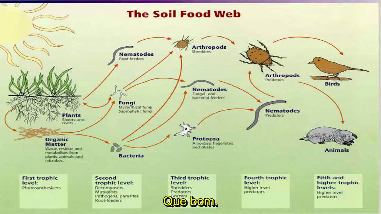
A rede de microvida no solo - Elaine Ingham (Soil FoodWeb Inc)
36.3K
Healthy plant growth requires aerobic (oxygen-rich) soil conditions. Anaerobic conditions cause disease development, pH dropping below 5.5, and loss of nitrogen, phosphorus, and sulfur as gases. Aerobic bacteria produce glues that build micro-aggregates, which fungi then pull together into macro-aggregates creating visible soil structure. This structure holds nutrients and water, preventing leaching and runoff. Without biology, water hangs up at compaction layers and flows sideways causing erosion.
Click to watch →

How to Build Great Soil - A Soil Science Masterclass with Dr. Elaine Ingham (Part 2 of 4)
237K
Anaerobic conditions in soil are harmful because they promote disease-causing organisms while suppressing beneficial ones. Manure and other organic materials come from anaerobic digestive systems and must be composted (converted to aerobic conditions) before application to soil. Applying raw manure without proper conversion can introduce harmful anaerobic organisms that damage plants.
Click to watch →

A complete guide to soil microbiology.
329.9K
Water-soluble fertilizers applied to soil are largely intercepted by bacteria, protozoa, and nematodes near plant roots before reaching plants. Most leach into groundwater or are lost to the environment. Organic fertilizers also wash away or get consumed by microbes. The efficient approach is to feed the soil food web directly through root exudates by planting densely. Plants pump sugars continuously into the soil, feeding microbes that in turn release chelated nutrients. The fundamental distinction in soil microbiology is whether oxygen is present. Aerobic microbiology includes beneficial organisms that build soil structure and make nutrients available. Anaerobic microbiology consists of pathogens that create toxic compounds. Under aerobic conditions, beneficial bacteria outcompete anaerobes and store phosphorus as phosphate (PO4) and sulfur as sulfate (SO4). Anaerobic conditions produce phosphine gas, hydrogen sulfide, alcohols, and vinegars, dropping pH to as low as 2. When soils become anaerobic, beneficial bacteria die back, soil structure collapses, and the soil reverts to compacted clay-like conditions.
Click to watch →
【よく忘れる方】植え替えなしで土を良くする事が可能です この方法お試しください 【カーメン君】【花ごころ】
185.6K
Soil microorganisms are categorized by their oxygen requirements: aerobic microorganisms require oxygen and work in oxygen-rich environments, while anaerobic microorganisms can function in oxygen-poor environments. Aerobic microorganisms process materials quickly but may produce less refined end products. Anaerobic microorganisms process materials more slowly but produce higher quality, more complete end products. Some soil amendments are produced by anaerobic bacteria (AB bacteria), which work in oxygen-poor environments and produce high-quality soil amendments.
Click to watch →
Deep Dive
Basic botanical classification, specifically distinguishing between herbaceous plants (grasses, reeds) and woody plants (trees, shrubs).

Botany Basics | How to Identify Different Plant Species Around You
89.2K
Plant habit refers to the overall growth form of a plant, distinguishing it from habitat (the ecosystem where it grows). Botanists classify plants as woody or herbaceous. Woody plants include trees, shrubs, and subshrubs, and they can be identified by their woody tissue at the base. Herbaceous plants include grasses and forbs (non-grass herbaceous plants). The term 'forb' comes from the Greek word for fodder, meaning plants used as animal feed.
Click to watch →

목본일까 관목일까? 그렇다면 야자 선인장 다육이는? / 구분하는 법 / 목질화
3.7K
Plants are classified into two main categories: woody plants (목본) and herbaceous plants (초본). Woody plants undergo wood formation (목질화), where lignin and cellulose accumulate in cell walls, creating hard structural tissue. All trees are woody plants, but not all woody plants are trees. Woody plants can be further classified as trees (교목, 2m+ height), shrubs (관목, 2m- height), or vines (만경목). Examples of woody plants include rosemary and cactus species like Pachypodium, while succulents like cacti are herbaceous plants because they lack wood formation.
Click to watch →

LE PIANTE - ALBERO, ARBUSTO, PIANTE ERBACEE
4.5K
Plants are classified into three main categories based on their stem structure: trees (alberi) have a tall, woody trunk (fusto legnoso) with branches growing upward; shrubs (arbusti) have a shorter, woody stem with branches emerging from the bottom; and herbaceous plants (piante erbacee) have a soft, flexible stem called a stelo that is not woody.
Click to watch →

05 - PLANTAS HERBACEAS Y LEÑOSAS
139
Plants are fundamentally classified into two main categories based on stem texture: woody plants (leñosas) with hard, durable trunks, and herbaceous plants (herbáceas) with soft, non-woody stems that are always green. Woody plants include trees (single trunk) and shrubs (multiple branches from ground level). Herbaceous plants include agapanthus, ferns, and pampas grass, which can reach 2.5 meters in height. Plants are also classified by life cycle duration: perennials live more than two years, biennials complete their cycle in approximately two years (vegetative growth first, then flowering and death), and annuals complete their entire life cycle within one growing season (6-10 months). Bulbous plants are perennials with deciduous leaves that survive underground through unfavorable seasons.
Click to watch →
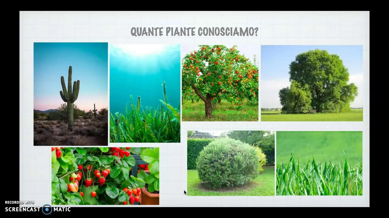
ALBERI, ARBUSTI ED ERBE
22.1K
Plants are classified into three main groups based on their structural characteristics: trees have a woody trunk (fusto legnoso) with branches forming a crown (chioma) that bears leaves and fruits; shrubs (arbusti) are smaller than trees with woody stems that branch directly from the ground without a central trunk; and herbaceous plants (erbe) have soft, green, non-woody stems (stelo) that are tender and flexible.
Click to watch →
Prerequisite Knowledge
- Concept 01Understanding the general definition of a wetland as a transitional zone between terrestrial and aquatic ecosystems.
- Concept 02Basic knowledge of hydrology, including terms like water table, surface runoff, groundwater, and precipitation.
- Concept 03Fundamental concepts of soil science, particularly the difference between aerobic (oxygen-rich) and anaerobic (oxygen-depleted) soil conditions.
- Concept 04Basic botanical classification, specifically distinguishing between herbaceous plants (grasses, reeds) and woody plants (trees, shrubs).
Subsequent Learning
- Step 01The role of peatlands (bogs and fens) in global carbon sequestration and climate change mitigation.
- Step 02Biogeochemical cycling in wetlands, specifically focusing on anaerobic respiration, methane production, and nutrient filtration.
- Step 03Wetland restoration ecology, conservation strategies, and the impacts of human activities like agricultural drainage and urbanization.
- Step 04Environmental policy and wetland delineation techniques used by ecologists and land developers to protect these ecosystems.
Wetland Types
Wetland Types
0:00Playing Section
- 1
Categorizes wetlands into marshes, swamps, bogs, and fens.
- 2
Marshes have reeds and grasses; swamps contain trees.
- 3
Bogs are acidic from rain; fens use groundwater, less acidic.
The Hydrogeomorphic (HGM) Classification System
While the traditional four-category classification (swamps, marshes, bogs, and fens) is widely used for introductory education, many ecologists and conservationists criticize it for being overly descriptive, vegetation-centric, and geographically biased. Critics argue that these rigid categories fail to represent the true ecological continuum of wetlands, where boundaries are often blurred. As an alternative, scientists developed the Hydrogeomorphic (HGM) approach. HGM classifies wetlands based on their physical and functional attributes: geomorphic setting, water source, and hydrodynamics. This functional perspective shifts the focus from 'what species grow there' to 'how the wetland works in the landscape,' providing a more scientifically robust framework for wetland management, mitigation, and assessing ecological functions.
Deep Dive
The role of peatlands (bogs and fens) in global carbon sequestration and climate change mitigation.

The role of peatland in the carbon cycle and climate change mitigation
183
Peatlands, despite covering only 3% of Earth's land surface, store approximately 30% of global soil carbon, making them highly efficient carbon sinks; however, when drained for agriculture or forestry, they become significant sources of CO2 emissions, contributing 3-5% of anthropogenic greenhouse gas emissions, and without protection and restoration policies, peatland degradation could consume 8-34% of the remaining CO2 budget needed to limit global temperature rise to 2°C.
Click to watch →
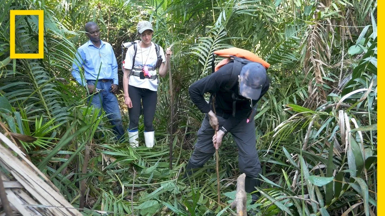
Peatlands Critical In Climate Change Fight | National Geographic
81.8K
Peatlands, despite covering only 3% of Earth's land surface, store more than one-third of the world's carbon stock through partially decomposed plant material that locks away carbon instead of releasing it into the atmosphere; however, these vital ecosystems are facing severe degradation from agricultural expansion like oil palm plantations and rice projects, threatening their ability to combat climate change.
Click to watch →

UPSC Prelims 2026 | Important Geography PYQs | Target Prelims 2026 | Geography By Abhinav Bohre
26K
This segment covers peatlands and their role in carbon sequestration. Peatlands are wetland areas where waterlogged conditions prevent organic matter from fully decomposing. This leads to the accumulation of partially decayed plant material called peat. Peatlands are important carbon sinks because they store carbon that would otherwise be released as carbon dioxide. The Congo Basin has the world's largest peatland. Peatlands are often called the 'rainforests of the sea' due to their biodiversity and carbon storage capacity. The instructor explains that peatlands are crucial for climate change mitigation because they store vast amounts of carbon that could be released if the peatlands are drained or disturbed.
Click to watch →

The Dirt on BOO | Multi Level Mondays
311.7K
Peat bogs are genuinely incredible and fight climate change. Though they only make up about 3% of global land area, their deep layers of peat are full of carbon. A New York Times article explains that dried peatlands could be restored by allowing them to become wet again, which would saturate decaying vegetation and prevent further release of carbon dioxide and eliminate fire hazards. Re-wetting peatlands is core to reaching mitigation targets. Most pathways for countering climate change predict that by the end of the century, land use including forests and agriculture would be a net carbon sink, storing more carbon than released into the atmosphere.
Click to watch →

Die Zeit der Hungerkünstler - TE Wecker am 22 10 2023 korrigierte Version
18.7K
Peatlands play a crucial role in carbon storage because the incomplete decomposition of plant material means that carbon remains bound in the soil rather than being released as carbon dioxide. This carbon sequestration function led environmental movements to advocate for re-wetting bogs as a climate protection measure. The idea was that by restoring bogs, the carbon stored in peat would be preserved and not released into the atmosphere, thereby helping to combat climate change. However, this perspective emerged before the full understanding of the complex trade-offs involved in bog restoration.
Click to watch →
Deep Dive
Biogeochemical cycling in wetlands, specifically focusing on anaerobic respiration, methane production, and nutrient filtration.

Grade 12 Biology Unit 2- Part 7 (#2): Nutrient (#Carbon, #Nitrogen, #Sulfur, & #Phosphurous) Recycle
170
Beyond photosynthesis and respiration, anaerobic processes play crucial roles in the carbon cycle. Methanogenesis is the anaerobic conversion of CO2 to methane by methanogenic archaea in oxygen-free environments like wetlands and digestive tracts. Conversely, methanotrophic bacteria consume methane and convert it back to CO2, creating a balancing system. Fermentation processes also release CO2 during anaerobic breakdown of glucose. These anaerobic pathways ensure carbon continues cycling even when oxygen is absent, demonstrating the complexity of biogeochemical cycles beyond simple aerobic exchanges.
Click to watch →

ALL SCIENCE QUESTIONS ASKED IN STENO EXAM 2025 | GK BY PARMAR SIR | PARMAR SSC
158.6K
Methane production is facilitated by anaerobic conditions (low oxygen) found in waterlogged soils like rice paddies and wetlands. Anaerobic conditions allow methanogenic microorganisms to thrive and produce methane, a potent greenhouse gas. This is why waterlogged areas often release significant amounts of methane.
Click to watch →
Oksijensiz Solunum | Dr. Biyoloji | AYT Dönem 2026 - 2027
88.5K
Anaerobic respiration involves glycolysis, the citric acid cycle, and electron transport system using alternative final electron acceptors (sulfate, nitrate, carbonate, or iron) instead of oxygen, producing less energy than aerobic respiration. Different nutrients enter metabolism through specific pathways: carbohydrates via glycolysis to pyruvate, fats via hydrolysis to glycerol (3-carbon) and fatty acids (2-carbon as acetyl-CoA), and amino acids via deamination followed by carbon skeleton entry based on carbon count (2-carbon as acetyl-CoA, 3-carbon as pyruvate, 4-6 carbon as citric acid cycle intermediates).
Click to watch →
Biogeochemical Cycling
550.6K
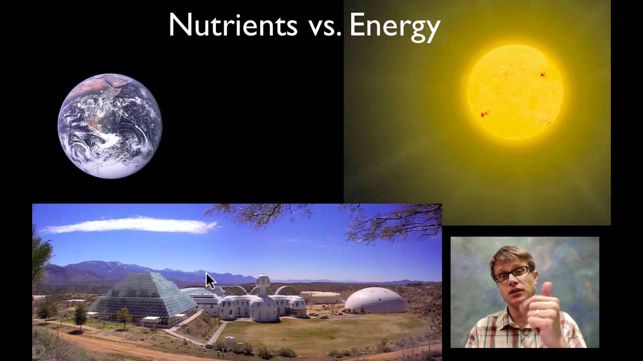
Biogeochemical cycles are natural processes that move essential nutrients (carbon, hydrogen, nitrogen, oxygen, phosphorus, and sulfur) between living organisms and the non-living environment, enabling life to exist and persist. These cycles include the water cycle (where water evaporates, precipitates, and is absorbed by plants through roots), the carbon cycle (where plants absorb CO2 during photosynthesis and release it through respiration), the nitrogen cycle (where nitrogen-fixing bacteria convert atmospheric nitrogen into usable forms for plants, which then enter animals and return to the atmosphere through decomposition), and the phosphorus cycle (where phosphorus stored in rocks is released through weathering, absorbed by plants, transferred to animals, and returned to soil through decomposition). Unlike energy, which flows in one direction from the sun to heat, these nutrients are recycled repeatedly within Earth's biosphere.
Click to watch →

Ecologia - Aprofundamento 29 🥳
4K
Anaerobic digestion is the biological process by which bacteria decompose organic matter in the absence of oxygen, producing methane gas. These bacteria, called methanogens, obtain energy through anaerobic respiration (using compounds other than oxygen as electron acceptors). The methane produced can be captured and utilized as a fuel source. This process is fundamental to biogas production and represents an important application of microbial ecology in waste management and renewable energy generation.
Click to watch →
Deep Dive
Wetland restoration ecology, conservation strategies, and the impacts of human activities like agricultural drainage and urbanization.

Wetland Ecology and Restoration
4K
Wetland restoration involves diverse entities: non-profits (Nature Conservancy, Emiquon Preserve), government agencies (stormwater control, Weaver Park), mitigation banks (compensating for destruction), and USDA Agricultural Conservation Easement Program providing up to 100% cost assistance. The process follows: establish goals, assess stressors/hydrology, ameliorate stressors, accelerate succession through planting if needed, and implement ongoing monitoring with adaptive management. Hydrological restoration on agricultural land requires removing drainage features (plugging ditches, breaking tiles). Urban restorations face challenges of limited space leading to steep banks unsuitable for vegetation, and stormwater retention requirements introducing pollutants and flashy hydrology. Vegetation establishment challenges include invasive species dominance (38% of Illinois restored wetlands dominated by reed canary grass, 29% by invasive cattails), herbivore damage requiring fencing, and soil compaction issues. Forested wetland restoration uses bare root seedlings over direct seeding; hard mast trees (oaks, pecans) grow slowly and are susceptible to flooding and deer browse, while light-seeded species (silver maple, cottonwoods) can jumpstart restoration but may need thinning. Environmental challenges include drought, flooding, and herbivory, with floods potentially killing planted trees while simultaneously facilitating native herbaceous colonization.
Click to watch →

W3 seminar: Wetland restoration strategies in agricultural landscapes for multi-ecosystem functions
560
Wetland restoration effectiveness depends critically on vegetation composition and carbon quality, as different plant species alter microbial community composition and biogeochemical processes; invasive reed canary grass, for example, performs poorly in denitrification compared to native grasses, while carbon quantity and quality interact complexly to influence greenhouse gas production and nutrient cycling rates.
Click to watch →
Does drainage pay Quantifying agricultural profitability associated with wetland drainage practices
195
Effective wetland conservation requires finding win-win opportunities through strategic approaches: sub-field profitability mapping identifies consistently unprofitable drained wetlands as restoration candidates; marginal basins that fail operational efficiency (too wet to seed) should be prioritized; carbon credits offer promising incentive mechanisms since wetlands sequester carbon at high rates with market value; producer incentives may be smaller than assumed—North Dakota surveys showed 90% would conserve wetlands with payments at 75% of rental rates. Alberta's wetland policy requires permits for drainage with compensation requirements including habitat replacement payments. Organizations conduct restorable wetland inventories across regions, revealing thousands of drained basins. Restoration involves installing earthen ditch plugs to restore hydrology, allowing natural vegetation recovery. Discharge wetlands (groundwater upwelling) often have higher salinity; draining them exacerbates salinity while restoration can reduce it. Strategic targeting based on specific site conditions maximizes conservation benefits while addressing producer concerns about field productivity and operational efficiency.
Click to watch →

MOKRADŁA. Czyta Krystyna Czubówna
301.5K
Drainage is the primary cause of wetland degradation, with 60% of European peatlands affected. Drained peatlands emit carbon dioxide equivalent to 10% of Poland's anthropogenic greenhouse gas emissions. Drained peatlands also increase fire risk, releasing additional greenhouse gases. Restoration methods include blocking drainage ditches with dams or filling them completely. Beavers play a significant role in ecological restoration by creating water reservoirs that initiate wetland habitats. Protection strategies include active measures like mowing, grazing, and sustainable forest management, as well as passive protection for undisturbed ecosystems.
Click to watch →
The Journey of Water: Ki Uta Ki Tai
661
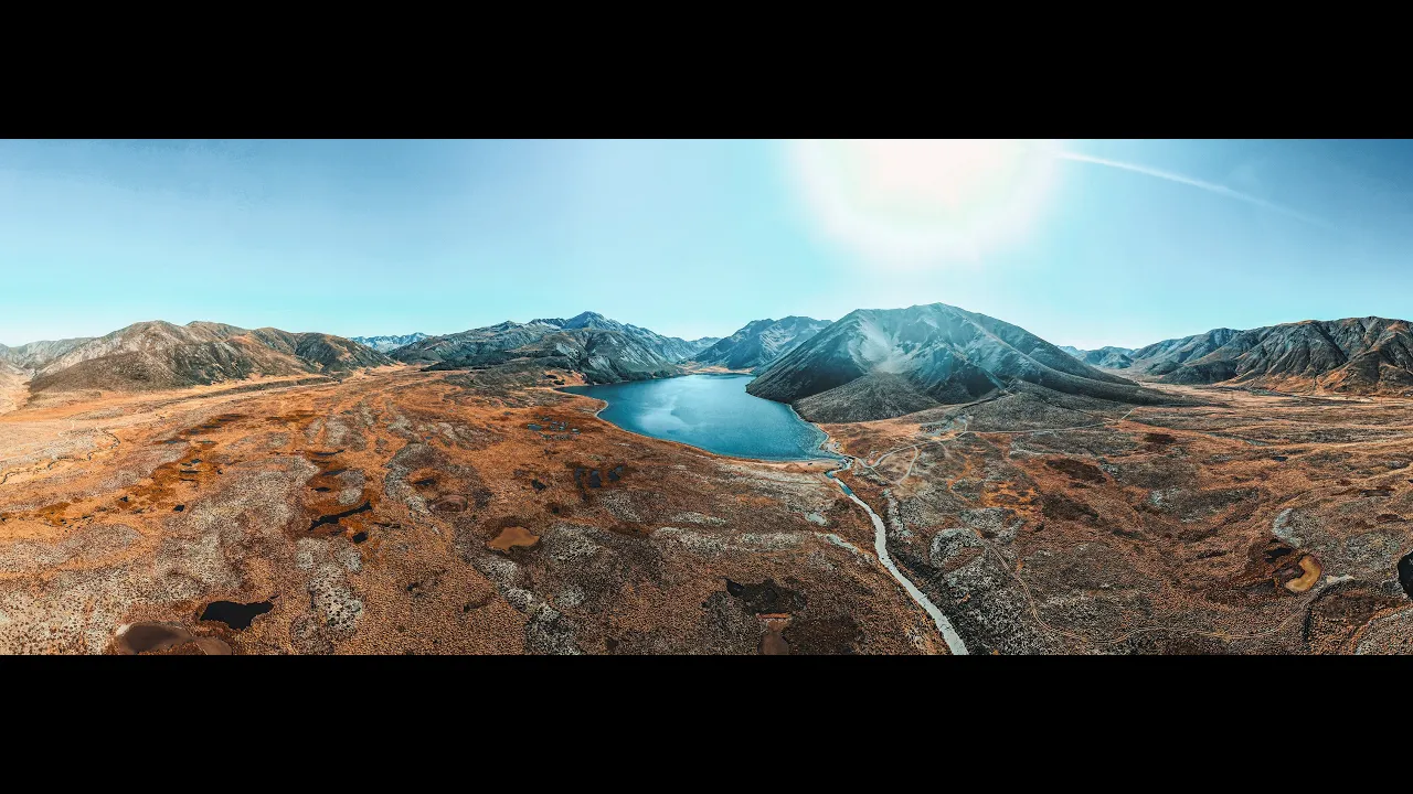
Wetlands have been drained since the late 1800s for agricultural purposes, with approximately 8 km of drains in some wetlands. This drainage was done during a time when ecological consequences were not understood. Wetlands function as natural sponges or kidneys that clean water and hold it, providing critical ecosystem services. Restoration involves plugging drains to restore the water table. Rather than filling drains back in, bags of soil are flown in using helicopters to create plugs, minimizing impact on the wetland ecosystem while restoring its function.
Click to watch →
Deep Dive
Environmental policy and wetland delineation techniques used by ecologists and land developers to protect these ecosystems.

Wetland Delineation - plants, water, and soils.
17.9K
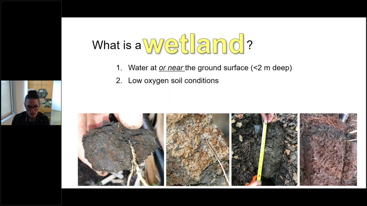
Wetlands are defined by three interconnected parameters: plants adapted to hydric (wet) conditions, hydric soils characterized by organic matter accumulation and reduced iron (blue-gray colors), and water saturation at or near the surface; wetland delineation involves comparing these three elements across data plots to determine whether a site meets regulatory criteria for wetland classification under the Clean Water Act.
Click to watch →
The Art of Land Transformation: David Hansen's Secrets to Maximizing Land Value | REtipster Podcast
21.5K
Wetland delineation is critical for development feasibility. Modern wetland scientists use LIDAR-based infrared technology for 90% accuracy. Developers hire local engineers for boundary surveys and wetland assessments. Desktop surveys cost approximately $1,000 and provide preliminary assessments.
Click to watch →

Steven explaining infield wetland delineation process
1.4K
Wetland delineation is a systematic process that involves visual landscape assessment, soil sampling at least 50 cm deep, and using the Munsell soil color chart to identify wetland indicators such as gray, mottled soils with fluctuating water tables, then recording GPS points and vegetation data to map wetland boundaries for environmental assessments.
Click to watch →

Protecting PEI's Wetlands: Policy and Practice
190
Wetland delineation is carried out by provincial employees who create baseline wetland maps. Private landowners can hire private companies, though rules prevent winter delineation. The regulatory framework includes the Environmental Protection Act, Planning Act, Wildlife Conservation Act, Natural Areas Protection Act, and the 2007 PEI Wetland Policy centered on 'no net loss of wetlands and wetland function.' The policy establishes a hierarchy: avoidance is first, mitigation second, and compensation last resort. Golf courses are classified as 'undertakings' requiring environmental impact assessments, while residential developments are 'developments.' An undertaking includes any construction, industry, or operation that may cause contaminant discharge affecting unique environmental features, have significant environmental effects, or cause public concern.
Click to watch →
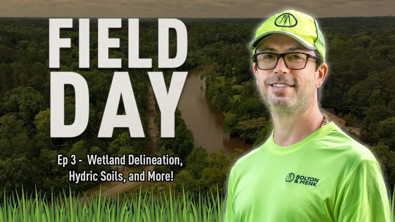
Wetland Delineation, Hydric Soils, and More! – Field Day with Bolton & Menk Ep. 3
313
Wetland delineation is the scientific process of identifying and mapping wetland boundaries by evaluating three key indicators: hydrology (water presence and movement), hydrophytic vegetation (plants adapted to wet conditions such as lizards tail, sensitive fern, and bladder sedge), and hydric soils (soils showing specific characteristics indicating saturation). This critical environmental assessment helps professionals make informed decisions about land development and conservation while complying with federal regulations like those enforced by the Army Corps of Engineers.
Click to watch →
Wetland Types
Wetland Types
0:00- 1
Categorizes wetlands into marshes, swamps, bogs, and fens.
- 2
Marshes have reeds and grasses; swamps contain trees.
- 3
Bogs are acidic from rain; fens use groundwater, less acidic.
The Hydrogeomorphic (HGM) Classification System
While the traditional four-category classification (swamps, marshes, bogs, and fens) is widely used for introductory education, many ecologists and conservationists criticize it for being overly descriptive, vegetation-centric, and geographically biased. Critics argue that these rigid categories fail to represent the true ecological continuum of wetlands, where boundaries are often blurred. As an alternative, scientists developed the Hydrogeomorphic (HGM) approach. HGM classifies wetlands based on their physical and functional attributes: geomorphic setting, water source, and hydrodynamics. This functional perspective shifts the focus from 'what species grow there' to 'how the wetland works in the landscape,' providing a more scientifically robust framework for wetland management, mitigation, and assessing ecological functions.
Understanding the general definition of a wetland as a transitional zone between terrestrial and aquatic ecosystems.
Basic knowledge of hydrology, including terms like water table, surface runoff, groundwater, and precipitation.
Fundamental concepts of soil science, particularly the difference between aerobic (oxygen-rich) and anaerobic (oxygen-depleted) soil conditions.
Basic botanical classification, specifically distinguishing between herbaceous plants (grasses, reeds) and woody plants (trees, shrubs).
The role of peatlands (bogs and fens) in global carbon sequestration and climate change mitigation.
Biogeochemical cycling in wetlands, specifically focusing on anaerobic respiration, methane production, and nutrient filtration.
Wetland restoration ecology, conservation strategies, and the impacts of human activities like agricultural drainage and urbanization.
Environmental policy and wetland delineation techniques used by ecologists and land developers to protect these ecosystems.
150.3K views1.3Klikes2:23@MooMooMathOriginal Release: 2019-03-11
welcome to moomoomath and science in this video let's talk about the difference between a swamp and a marsh and a fin and a bog each of these areas are wetlands wetlands are areas that are saturated with water the amount of water present in a wetland can vary greatly some wetlands are always flooded while others are only seasonally flooded but remain saturated with water during the unfretted period marshes are wetlands that support a variety of reeds and grasses let's take a trip through a marsh the Florida Everglades is one of the largest continuous freshwater marshes in the entire world this Marsh covers over 4,200 square miles swamps on the other hand are similar to marshes but contain plants and trees let's take a trip to a swamp the Okefenokee Swamp in the United States which falls on the Georgia Florida border is over 430 square miles let's take a look a bog is a low-lying area that collects water when it rains and snows bogs are dominated by Spagna moss the water collects and builds up over time and becomes very acidic and low in oxygen this slows decay and the moss just builds up over time and creates a type of soil called a peat a fin is also a peat generating wetland but it is supplied by a water source other than rainfall or snow like a bog this water source may be an underground stream or groundwater as a result the soil is not as acidic as a bog and is not quite as oxygen poor and this allows for a greater diversity of plants and animals to live in a fin if you'd like to know more about bogs fens marshes and a swamp this playlist may help thanks for watching and moomoomath uploads a new math and science video every day
Up Next

10:40
Wetland Hydrology Functions & Values for Municipal Agencies
@ctdeepvideos
10.6K views•2014-01-28

15:54
Life in Biosphere 2: Sustainable Ecosystems & Human Survival
@TED
334.9K views•2009-06-16

14:30
Microplastics Everywhere: How Plastic Impacts Our Lives
@TEDx
100.9K views•2018-05-08

10:28
Ice Stupa Artificial Glaciers: Solving Ladakh's Water Crisis
@SonamWangchuk66
3.2M views•2015-05-03
Related Study Plans & Knowledge Roadmaps
Structured learning paths in Environmental Science
environmental-science
Ocean Noise: Cetacean Impacts & Mitigation
01Fundamentals of Underwater Acoustics
02Marine Mammal Bioacoustics
03Anthropogenic Noise: Shipping & Seismic Surveying
+ 2 more learning modules
16h5 modules
Explore Roadmap
environmental-science
Road Ecology: Corridors, Overpasses & Fencing
01Foundations of Habitat Fragmentation and Carnivore Ecology
02The Road Barrier: Ecological Impacts of Transport Infrastructure
03Principles of Ecological Corridors and Connectivity Mapping
+ 3 more learning modules
14h6 modules
Explore Roadmap
environmental-science
Ocean Acidification: Kelp Buffering & Shellfish
01Fundamentals of Ocean Chemistry & pH
02Chemical Pathways of Coastal Acidification
03Bivalve Physiology & Calcification Under Stress
+ 2 more learning modules
18h5 modules
Explore Roadmap
environmental-science
Ice Stupas: Glacial Retreat & Water Security
01Foundations of Glaciology & Mountain Hydrology
02Climate Change and Glacial Retreat Dynamics
03The Science of Ice Stupas & Artificial Glaciers
+ 2 more learning modules
14h5 modules
Explore Roadmap