Road Ecology: Corridors, Overpasses & Fencing
Learning Goal: Investigate the ecological impacts of habitat fragmentation caused by transport infrastructure on large carnivore populations, and design a regional road-ecology corridor plan featuring wildlife overpasses and exclusionary fencing.
- Prerequisites: Basic knowledge of ecology, conservation biology, and GIS (Geographic Information Systems) fundamentals.
- Estimated Total Study Time: 14 Hours
Module 1: Foundations of Habitat Fragmentation and Carnivore Ecology
This module explores the core ecological theories underlying habitat fragmentation. You will examine Island Biogeography Theory as it applies to terrestrial landscapes, analyze how the physical division of habitats impacts species with vast home ranges (such as large carnivores), and study the behavioral responses of wildlife to open landscape corridors created by transportation infrastructure.
Why this video
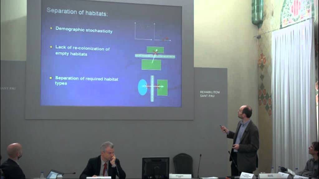
Dr. Jochen Jäger introduces the foundational mechanics of landscape fragmentation. He delineates the primary pathways of highway impacts: direct habitat loss (extending far beyond the asphalt footprint due to edge effects like light and noise) and traffic mortality. This sets up the conceptual framework for analyzing transport infrastructure as a multi-dimensional disturbance agent.

Why this video
Large carnivores like mountain lions require massive, continuous ranges to hunt, mate, and maintain stable populations. This video demonstrates the real-world impact of urban sprawl and interstate highways acting as physical barriers that slice through territories, isolating mountain lions into genetic "islands."
Why this video
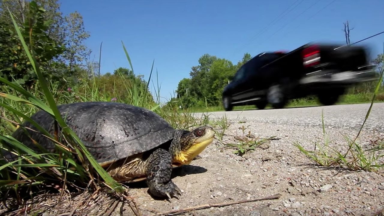
This video explains the spatial scale of road influence, introducing the concept of the "road effect zone." It reveals that the ecological impact of a road extends at least half a mile (0.8 km) beyond the shoulder, transforming continuous forest tracts into tiny, degraded habitat patches.
Why this video
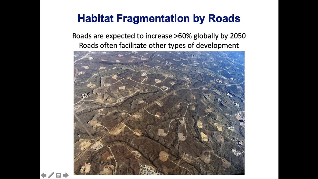
This lecture addresses wildlife behavioral responses to canopy gaps and open spaces. Many forest-dwelling species experience a strong fear-based avoidance of open spaces like highways. Understanding this behavioral barrier is key to explaining why some animals refuse to cross roads even when traffic volume is zero.
Module 1 Knowledge Checkpoint
- Define the "road effect zone" and explain how edge effects degrade interior habitats.
- Explain how Island Biogeography Theory applies to human-dominated, fragmented landscapes.
- Contrast physical road barriers with behavioral avoidance barriers in large carnivores.
Module 2: The Road Barrier: Ecological Impacts of Transport Infrastructure
This module details the direct consequences of roads and railways on large carnivore populations. You will analyze landscape genetics, study how transport corridors prevent gene flow, and evaluate how vehicle collisions (roadkill) act as population sinks that can trigger localized extinctions.

Why this video
Dr. David Wallin presents landscape genetics data illustrating how highway corridors isolate mountain goat populations. By utilizing genetic distance matrices, this lecture shows how spatial barriers prevent dispersal, degrade genetic diversity, and accelerate inbreeding depression.

Why this video
This video explains how researchers detect dispersal limitations using spatial genomic data. By examining woodland caribou populations separated by major highways, it demonstrates how barriers leave clear signatures on genetic structure, providing empirical evidence of transport infrastructure restricting gene flow.
Why this video
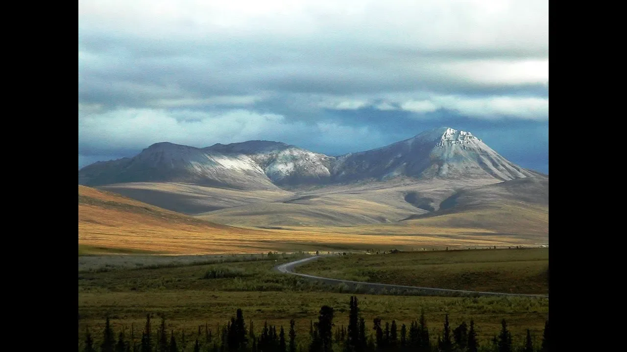
This short study shows how highways (such as Highway 3) form immediate genetic barriers. It illustrates how genetically distinct subpopulations form on opposite sides of a major highway, highlighting the speed at which transport infrastructure can disrupt evolutionary trajectories.
Why this video
This webinar places the road barrier effect in a global context. It details the history of road expansion since Roman times and traces its exponential growth into a modern "infrastructure tsunami," highlighting how linear barriers disrupt migratory dynamics globally.
Module 2 Knowledge Checkpoint
- Explain how landscape geneticists use genetic distance matrices to identify road-induced isolation.
- Describe the difference between a dispersal barrier and a population sink.
- Detail how genetic drift and inbreeding manifest in large carnivore populations trapped by regional interstates.
Module 3: Principles of Ecological Corridors and Connectivity Mapping
This module introduces structural and functional landscape connectivity. You will learn how to design wildlife corridors and use GIS (Geographic Information Systems) tools to analyze least-cost paths, model movement resistance, and construct connectivity networks to guide regional planning.

Why this video
This tutorial is an essential practical guide to using Linkage Mapper, a GIS tool for connectivity mapping. It demonstrates how to establish core habitat patches, assign resistance values (friction) to land cover types, and calculate least-cost paths to find optimal wildlife corridors.
Why this video
This video explains the theoretical and conceptual foundations of mapping connectivity. It contrasts structural connectivity (the physical alignment of habitats) with functional connectivity (how species actually move through a landscape based on behavioral preferences and physical limitations).

Why this video
This video introduces Circuitscape, an open-source tool that models connectivity using electrical circuit theory. By treating the landscape as a resistor network, it helps planners identify pinch points, bottlenecks, and alternative pathways where animal movement is constrained.
Module 3 Knowledge Checkpoint
- Explain the difference between structural connectivity and functional connectivity.
- Define "resistance values" (friction) in a GIS landscape matrix and list factors that determine them.
- Contrast least-cost path analysis with circuit-theory based connectivity modeling (Circuitscape).
Module 4: Designing Wildlife Crossings: Overpasses and Underpasses
This module focuses on the engineering and design of wildlife crossings. You will analyze structural specifications, target-species behavior, and the famous Banff National Park case study to determine how to build overpasses and underpasses that facilitate safe movement for large carnivores.
Why this video
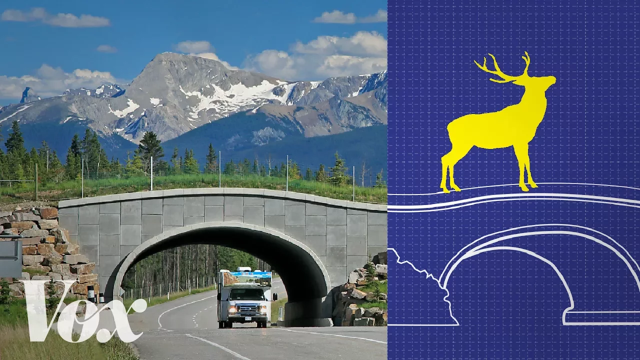
This highly produced Vox documentary provides a clear visual overview of how wildlife crossings work. It highlights why certain species (such as grizzly bears and wolves) prefer wide, open overpasses, while other more secretive species (such as cougars) often choose smaller, covered underpasses.

Why this video
This video explains the ecological role of crossings in restoring entire ecosystem processes. It connects the structural dimensions of these bridges with regional biodiversity conservation, illustrating why these systems must be designed as continuous landscape corridors.

Why this video
Focusing on the US 395 project, this presentation highlights the multi-year planning, biological mapping, and engineering steps required to turn a high-collision highway into a permeable corridor. It details how projects transition from biological research to actual construction.
⚠️ Bridge Design Gap: Supplementary Engineering Specifications
While the videos cover conceptual and biological foundations, they lack detailed step-by-step structural engineering specifications. To design an effective wildlife overpass for large carnivores, you must incorporate the following standards:
- Minimum Width: Overpasses for large carnivores must have a minimum width of 50 to 60 meters (164–196 ft) at the center, tapering wider at the approaches (ideally a 2:1 length-to-width ratio) to prevent a funnel bottleneck effect.
- Soil Depth & Vegetation: Overpasses require soil depths ranging from 0.5 to 1.5 meters to support native shrubs, grasses, and mature trees, which provide vital cover for carnivores.
- Acoustic & Light Baffles: Sound-deadening walls and soil berms (minimum 2 meters high) must run along the edges of the structure to block highway headlight glare and muffle vehicle noise.
- Independent Search Query: For full technical specifications, search the Federal Highway Administration database for: "Design guidelines for wildlife overpasses and underpasses FHWA"
Module 4 Knowledge Checkpoint
- List the target width and taper ratios required for a multi-species overpass.
- Contrast the crossing preferences of grizzly bears (open overpasses) with cougars (covered underpasses).
- Explain the structural engineering requirements for soil depth, drainage, and acoustic baffles on an overpass.
Module 5: Exclusionary Fencing, Escape Ramps, and Co-use Mitigation
This module covers the design and placement of wildlife fencing systems that funnel animals safely toward crossings. You will learn about fence specifications, escape mechanisms (such as one-way jump-outs), and how to prevent animals from becoming trapped on the highway.

Why this video
This video shows how extensive fencing can have unintended consequences if not designed properly. It underscores the vital rule of road ecology: fencing should never be used as a standalone barrier. Instead, it must always be paired with connectivity crossings to avoid isolating wildlife populations.
Why this video
This video explores how highways like Interstate 89 split continuous forests, and how physical barriers like 4-foot concrete Jersey barriers worsen this isolation. It illustrates how standard highway designs act as physical obstacles for wildlife, highlighting the need for specialized fencing and escape ramps.
⚠️ Fencing & Escape Ramps Gap: Supplementary Design Guide
To address the lack of technical video tutorials on exclusionary fencing and escape structures, apply the following engineering standards to your regional road-ecology corridor plan:
- Fencing Specifications: Exclusionary fencing for large carnivores (bears, wolves, cougars) must be at least 2.4 meters (8 feet) high, constructed of heavy-duty galvanized chain-link or high-tensile woven wire mesh. To prevent digging animals from passing underneath, the fence must extend 20 to 40 cm (8–16 inches) underground or feature an outrigger mesh apron laid flat on the ground.
- Wildlife Jump-outs (Escape Ramps): If animals breach the fence and end up on the highway, they need a way to escape. Jump-outs are one-way earthen mounds built against the highway side of the fence. They allow trapped animals to walk up a gentle slope and jump down to safety on the wild side. The jump-off height must be 1.5 to 1.8 meters (5–6 feet)—high enough to prevent animals on the outside from leaping in, but safe enough for trapped animals to jump down without injury.
- Independent Search Query: For complete technical drawings, search: "Wildlife fencing design and escape ramp engineering road ecology" and "How do wildlife jump outs work road ecology tutorial".
   LANDSCAPE SIDE                          HIGHWAY SIDE

                                      |========/   <- One-way Fence
                                      |       /
                                      |      /
  Drop-off Height:                    |     /   <- Earthen Ramp
  1.5m to 1.8m                        |    /
  ---------------------\              |   /
                        \             |  /
                         \____________|_/
Module 5 Knowledge Checkpoint
- Specify the minimum height and below-ground depth for large carnivore exclusionary fencing.
- Explain how a wildlife jump-out functions as a one-way escape route, including the required drop-off height.
- Explain why exclusionary fencing without wildlife crossings is an ecological hazard.
Module 6: Developing a Regional Road-Ecology Corridor Plan
This final module synthesizes what you have learned to help you build a regional road-ecology plan. You will learn to integrate GIS connectivity mapping, plan crossing structures, design fencing layouts, and establish post-construction monitoring systems to evaluate plan success.

Why this video
This video details the Wildlands Network's three-pronged strategy: Science (using GIS, satellite imagery, and climate models), Policy, and Law. It provides a helpful template for translating spatial connectivity data into enforceable regional corridor plans.

Why this video
This project shows how to overlay GIS connectivity models with major road networks to find and prioritize regional crossing locations. It serves as a practical blueprint for matching wildlife corridor plans with actual highway networks.
⚠️ Post-Construction Monitoring & Adaptive Management Guide
To ensure your regional plan is effective over the long term, you must include a structured post-construction monitoring plan. Monitor your structures using the following methods:
- Camera Trapping Protocols: Install motion-activated, infrared cameras at both entrances and the center of every crossing. Keep cameras running year-round to track crossing rates, species diversity, and animal behavior (e.g., successful crossings, turn-backs, and predator-prey interactions).
- Track Pads: Lay down sand or clay track pads at structure entrances to record clear paw prints. This helps confirm species presence and crossing direction, especially for animals that might avoid camera detection zones.
- Non-Invasive Genetic Sampling: Place hair-snag traps (such as barbed wire loops or sticky pads) along the paths of crossing structures. Collect hair samples to extract DNA, allowing you to track individual animals, identify their sex, and measure gene flow across the highway over time.
- Independent Search Query: For monitoring templates, search: "Monitoring wildlife crossings camera traps and genetic sampling".
Module 6 Knowledge Checkpoint
- Explain how to combine GIS connectivity maps with regional highway layouts to identify priority crossing locations.
- Detail three non-invasive monitoring techniques used to evaluate wildlife crossings.
- Explain how to use genetic sampling to measure the success of a wildlife crossing in restoring gene flow.
Course Map
This map outlines the recommended learning path and dependency flow for the road ecology modules.
Key People Index
The following researchers, educators, and authors are featured across the curriculum resources:
- Dr. Jochen Jäger (Concordia University): A leading expert in landscape ecology and habitat fragmentation. He is known for developing methods to measure landscape metrics and assess the environmental impacts of transportation systems (featured in Module 1).
- Dr. David Wallin (Western Washington University): A spatial ecologist specializing in landscape genetics. His research uses genetic analysis to track how human barriers impact gene flow and population connectivity (featured in Module 2).
- Ben Goldfarb: An award-winning environmental journalist and author of Crossings: How Road Ecology Is Shaping the Future of Our Planet. He is a prominent voice on the history, science, and future of mitigating human infrastructure impacts (referenced throughout).
Final Self-Assessment
Complete this checklist to verify your understanding of all course concepts:
- Explain how roads fragment habitats, referencing the "road effect zone" and edge effects.
- Explain how physical and behavioral barriers affect large carnivore populations differently.
- Describe the genetic consequences of habitat isolation, including genetic drift, inbreeding depression, and loss of heterozygosity.
- Use GIS tools like Linkage Mapper and Circuitscape to model landscape resistance and identify key wildlife corridors.
- Differentiate between structural and functional landscape connectivity.
- Design a multi-species overpass with the correct dimensions, soil depth, and acoustic baffles for large carnivores.
- Design a carnivore-proof fencing system, including underground mesh depth and wire specifications.
- Design a one-way wildlife jump-out, specifying the correct slope, materials, and drop-off height.
- Create a comprehensive post-construction monitoring plan using camera traps, track pads, and genetic sampling.
- Combine spatial data, crossing designs, fencing layouts, and monitoring plans into a complete Regional Road-Ecology Corridor Plan.