










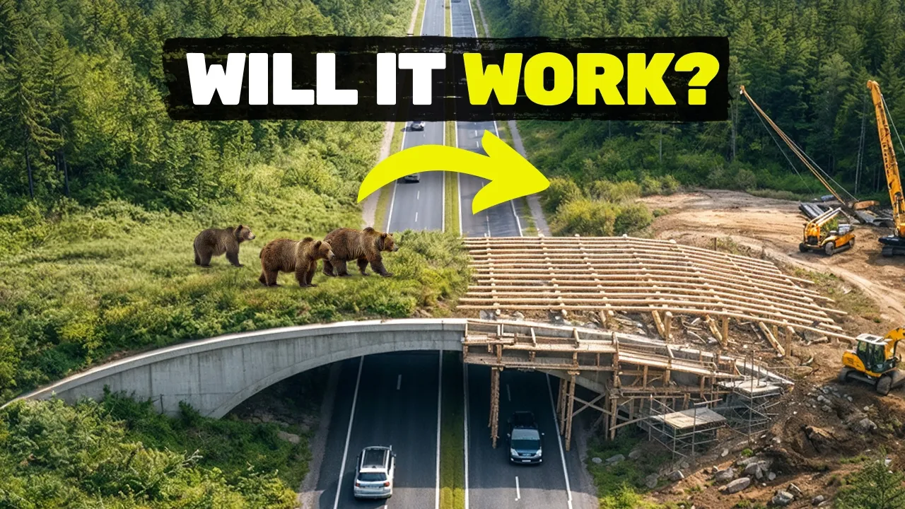
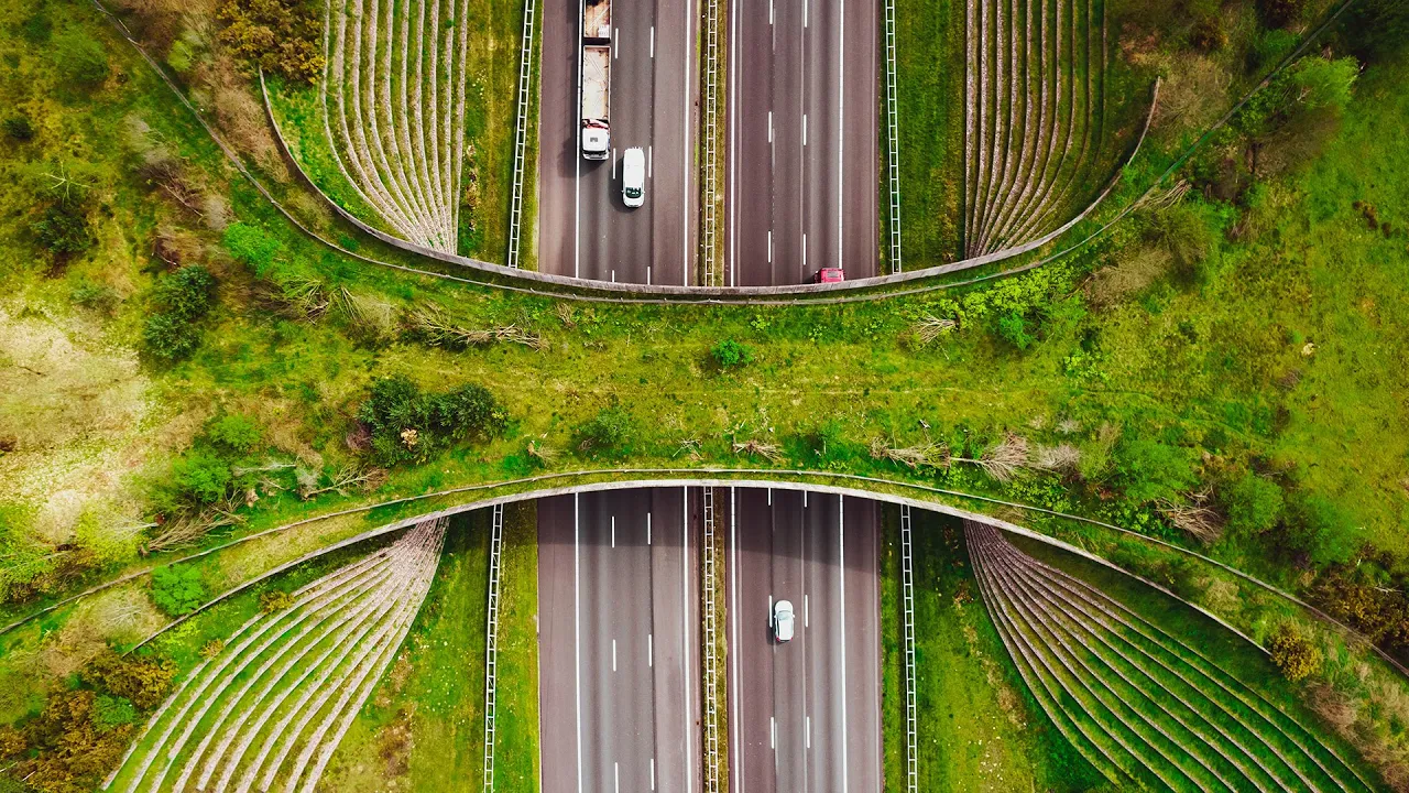






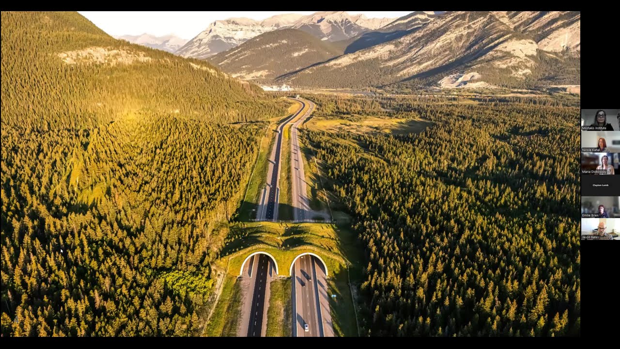

Wildlife crossing infrastructure, combining wildlife exclusion fencing with overpasses and underpasses, is the most effective solution for reducing wildlife-vehicle collisions, with research showing these structures can reduce collisions by up to 90 percent; the Mammoth Lakes US 395 Wildlife Crossing Project in California demonstrates this approach, where GPS telemetry studies identified specific crossing hotspots and successful crossing locations, guiding the placement of crossing structures to maximize effectiveness while addressing the barrier effect of roads on wildlife migration corridors.
Wildlife Crossing Research: US 395 Mammoth Lakes Project
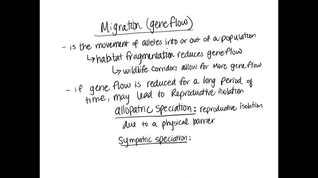
Added:Understanding the concept of habitat fragmentation and its ecological consequences on wildlife migration and gene flow.
Basic knowledge of the socio-economic and ecological impacts of wildlife-vehicle collisions (WVCs).
Familiarity with the migratory behaviors and seasonal ranges of large ungulates (such as mule deer) in montane ecosystems.
An awareness of how state transportation departments (e.g., Caltrans) and wildlife management agencies (e.g., CDFW) collaborate on public infrastructure.
Analyzing the engineering specifications of wildlife crossings, including the specific design parameters for overpasses, underpasses, and exclusionary fencing.
The application of Geographic Information Systems (GIS) and wildlife telemetry data (GPS collaring) in mapping animal corridors and predicting collision hotspots.
Investigating environmental policy and funding frameworks, such as the National Environmental Policy Act (NEPA) and federal infrastructure grants for ecological restoration.
Evaluating methods for post-construction monitoring, such as using remote camera traps and genetic sampling to measure the conservation success of wildlife crossings.
184 views0likes1:26:43Original Release: 2023-06-09
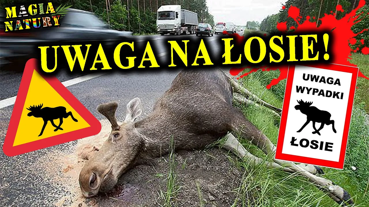
all right uh yes I'm Katie Rodriguez I'm the biology branch chief for Caltrans District 9. we cover the Mono County East Eastern Kern County in Inyo County so pretty much all of the Eastern Sierra I've worked in the Sierras for 13 years I started uh my time in this year as in Yosemite National Park where I actually did my Master's thesis on a similar subject bear vehicle collisions so I've had a lot of experience and work in Road ecology which we'll talk about tonight and I'll just give a you know warning this subject can be kind of sad and depressing so um you know I I've given these talks many times and so I just want everyone to know that um you know there are there is a lot of hope there's a lot of solutions for wildlife vehicle collisions so keep that in mind it's a it's a good ending to the story do okay um so yeah I'm going to talk about Road ecology to kind of prime you guys on on what that field of study is we'll talk specifically about Wildlife vehicle collisions and we'll talk a little bit about Wildlife Crossing research and its Effectiveness and then we'll talk about the Mammoth Lakes us 395 Crossing project give you some background and the current status on the project so Road ecology in a nutshell Road ecology is the study of how roads impact the environment and specifically when we're talking about Wildlife impacts that can look like changes in the amount and quality of habitat for wildlife which can include habitat loss so you know if you develop and build roads now you have habitat that's converted to roads so there's direct loss of habitat there can also be habitat alterations so indirect effects to Habitat from roads being constructed things like noise lighting human disturbance that can also have effects on wildlife there's also something called the road effect Zone in the United States about one percent of our land is made up of roads but 20 percent of the land is in this road effect zone so that can be from pollution from the road again noise lighting human disturbance change in habitat so that's a lot of area when you consider our entire country roads can also impact behavioral changes in wildlife and so that can look like Wildlife avoiding roads you know if they approach a road and there's too much noise too much traffic they'll probably turn around and go back the way they came there can also be uh the opposite attraction to roadside some places where you know they use uh salt to de-ice the road that can collect in the shoulder of the road and attract things like moose or deer that want salt mowing of the shoulder can then create new growth of vegetation that could attract Wildlife as well so you can have both of these changes in their normal behavior of being either repelled or attracted to roads there can also be temporal changes in Wildlife Behavior we've seen nesting Birds change their timing and their habits and how they do nesting roosting bats also in and around roads can be affected by lighting and avoid those areas or change when they do their roosting and then amphibian movements also have been seen to be affected when they make their movements related to roads here's just a little graphic showing an example of habitat loss so the more Road density you have the less habitat you have available I think that's pretty understandable additionally this is just a little graph story it's kind of blurry but you can see related to noise for bird species once it hits a certain decibel level the density of birds diminishes quite a bit so they're pretty sensitive and can't compete with that noise in their everyday life and here's just an example of some mountain goats grazing on the side of a road probably because a lot of water runs off the asphalt and then creates you know more moist conditions for vegetation to grow additionally some more impacts that can happen to Wildlife is a barrier effect and that is when you have reduced landscape connectivity for wildlife because of roads and so when we talk about connectivity and corridors those are places where Wildlife have to move to access things to live so food water mates maybe migration you know Wildlife just like us have to move to get to places and find their resources to survive so construction of Roads can often create barriers to those those resources that they need the results of that can be changes in Wildlife distribution so I'll have a little graphic later that shows how that can affect things it also then results in direct mortality right while like vehicle collisions cause death of animals so that can create a barrier to movement just by animals physically not able to you know cross a road um over time this can then create reduced population viability by disrupting rates of gene flow they found in Banff National Park that grizzly bears were actually not able to cross the road and it created two separate subpopulations on either side of the road that it took 30 years and multiple Crossing structures to regain that connectivity so it can have a really big effect over time and so Corridor function is something that can also then be impacted by roads so where you may have a migration Corridor if you have a road that intersects that that Corridor may not be functioning then the way that it needs to for wildlife to continue in an area and that provides again movement for dispersal and for plant and animal species this is just a little graphic showing you know individuals in a population and how they interact with each other and then if you put a road in between them and it acts as a barrier they may not have access to each other so those individuals may not mate with each other and again you might have that differentiation in genetics and reduced populations so uh the biggest you know direct impact that we see from roads is wildlife vehicle collisions and I can say as a person who's dealt with a lot of situations of having to you know Observe and Report um Wildlife vehicle collisions it's definitely very significant impact to Wildlife um you know it's directly taking individuals out of a population if uh say a pregnant deer gets hit you're then taking multiple Generations out of the population right so that individual wouldn't you know have young that then go on to reproduce reproduce themselves we also talk about uh roadkill hot spots and what those are are places where there's clustering of wildlife vehicle collisions and to give you an example our project area that we're going to talk more about between 2002 and 2018.
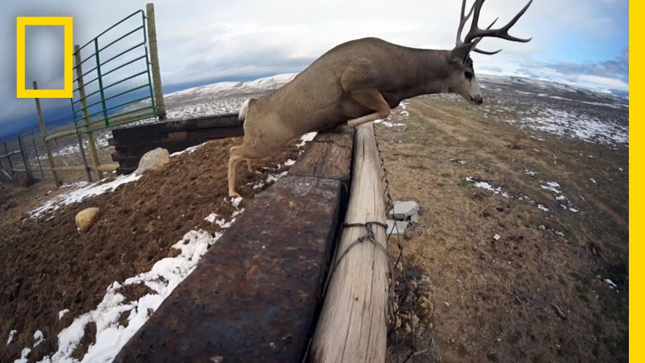
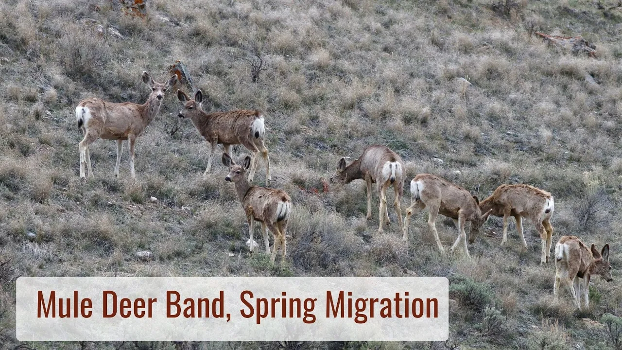
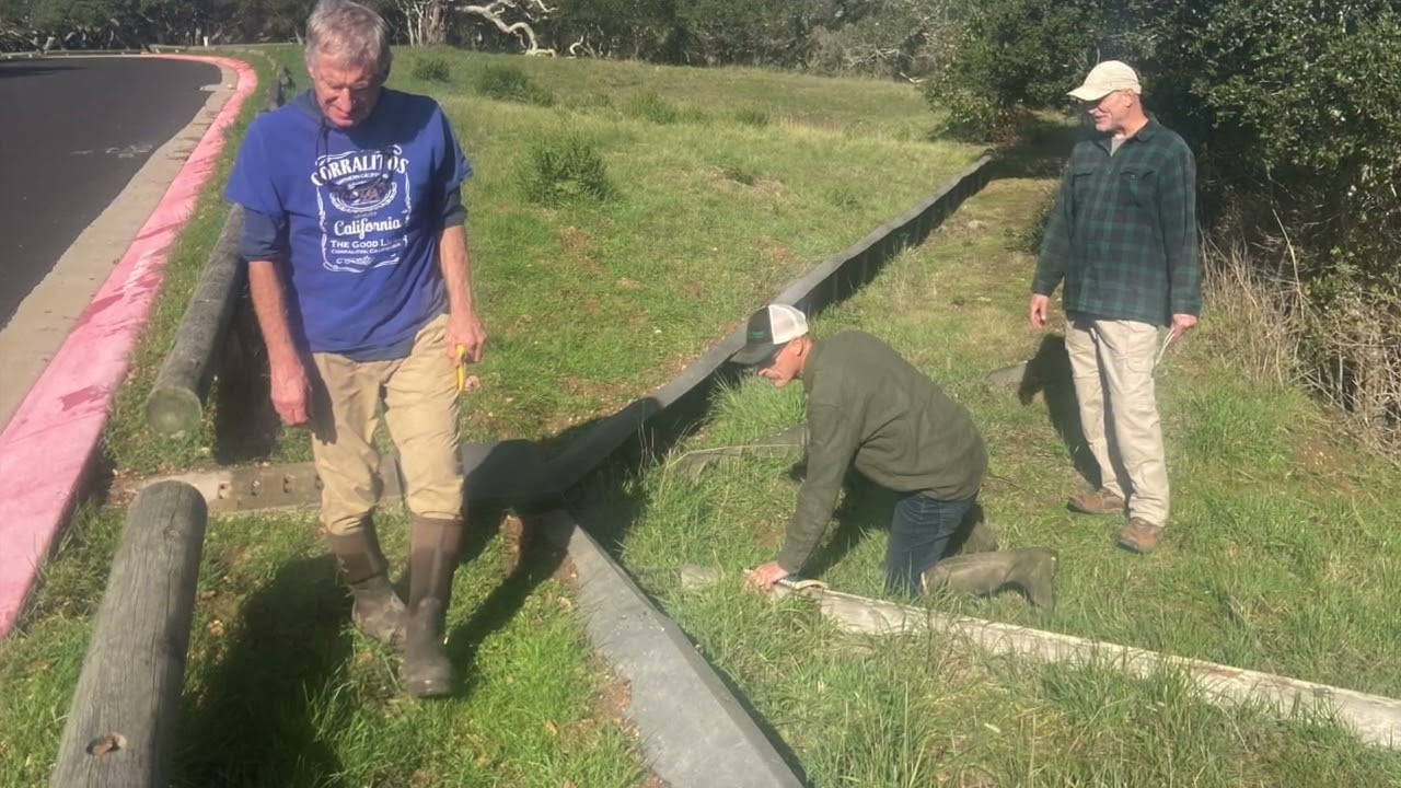
33 percent of our collisions with Wildlife occurred only on seven percent of 395 In Mono County so those are very small area is where lots of vehicle collisions are happening and Dan's going to go over a lot more of that data in his talk foreign so obviously Wildlife vehicle collisions don't just affect Wildlife they affect people as well it's a big safety issue and it's a nationwide issue there was a report that came out several years ago that estimated about 300 000 collisions with Wildlife every year but that's actually probably more like one to two million the disparity in the data there is likely because a lot of collisions don't get reported if there's a collision where the property damage is under a thousand dollars most people don't submit an insurance claim for that so that goes unreported also you know maybe drivers aren't in an area where they can report the Collision because they're out of cell phone service or again there wasn't a lot of damage also if people you know are avoiding hitting an animal in the road and they swerve and it causes an accident that doesn't always get recorded as you know being related to Wildlife either um there's also law enforcement entities and Departments of Transportation don't have a lot of databases to record this data as well unfortunately our district you know for Caltrans we do have a really good roadkill database reporting system which a lot of our data that you know Dan used and that we've used for this study uh came out of and so I think we have data going all the way back to 2002 so we're lucky that we have that great data set to to look at these issues and understand what's going on um another reason why these collisions can often be underreported is because sometimes animals get hit by a car and then travel off the roadway and we don't end up finding their carcass so we don't know if they didn't end up perishing or not because they go far from the road so all these things kind of lead to us realizing that majority of the data we have is way below what's actually happening out there and in 2008 the federal highways released a report that's accounted for about five percent of all reported motor vehicle collisions are with wildlife and that's probably again a conservative estimate Wildlife vehicle collisions are also expensive um you know there's a cost in terms of property damage and so there was a study Again by fhwa in 2008 that found the cost of an average collision with Wildlife is around six thousand dollars that includes you know average property property damage human injuries or human mortality there's also an economic value to each animal that's hit I think I saw a study where think they estimated a grizzly bear is worth about two million dollars just because of you know all of the tourism they generate and people traveling from far to see them they estimated and again this might be low but for hunting and tourism for deer each individual deer may be worth like two thousand dollars so when you put all those costs together each collision at least with deer can be about eight thousand dollars but actually when that was adjusted it's more more like ten thousand dollars per Collision so a lot of people ask about if there's a cost benefit analysis to doing Wildlife Crossing projects you know will it pay off in the end and I think you'll see that that will be the case um so as I said um as sad of a subject this is there's lots of solutions to um how to how do we address these issues so there's may there's three main methods for addressing reducing collisions so that's either influencing driver Behavior influencing animal behavior or keeping animals off the roadway influencing driver Behavior looks like installing roadway signs I'm sure you're all familiar with the yellow crossing signs for deer or different animals that you see those have been sound found to not be very effective especially for people who live in this area and pass that sign every day it loses its Effectiveness there's also seasonal education and messaging that can be done through uh something like the center picture there where you have a trailer that has a variable messaging sign that can only be be put out at certain times of year those are a little bit more effective but they don't necessarily reduce collisions it you know increases driver awareness but hasn't been really shown to reduce collisions there's also animal detection systems which are these systems that are available a way to detect Wildlife when they're on the road shoulder and then give a specific message to warn drivers that there's Wildlife you know next to the road those are a little bit more effective at reducing collisions but there's still more research that has to be done they don't work very well in areas where it snows and there can be uh false positives that if and you know something in the shoulder triggers it and then you have drivers kind of worried that there's wildlife and there's not so they have to do more research to see if that's effective but those are all things to try and you know influence driver Behavior to alert them that there may be wildlife and the main thing they can do is slow down but doesn't necessarily mean it's going to reduce a collision influencing animal behavior is another method that's been researched that can include reducing habitat adjacent to the road so like we mentioned if Wildlife are sometimes attracted to the side of the road if you remove that habitat maybe that will reduce collisions but that has some unforeseen circumstances effects where you know you might be increasing that road effect Zone because you don't have any habitat there so you're just increasing that area where it's affected by the road there's also been studies looking at deterring Wildlife from the roads things like whistles lights reflective material those have also not been shown to be very effective at deterring Wildlife from the roadway so again influencing animal behavior not the most effective keeping animals off the road however has been proven to be the most effective and that looks like placing Crossing structures where Wildlife can safely move under or over the roadway especially when it's combined with Wildlife exclusion fencing that funnels them to those structures so that they're not able to access the roadway so these are some examples of types of wildlife Crossings the upper right corner there is in Banff National Park that is an overpassing so when we talk about overpasses it's related to where the animals move so this is where the wildlife move over the highway and drivers go under a bridge or a tunnel um as you can see there under Crossings however are like the two bottom pictures there where Wildlife crossed under the roadway and cars travel above those can be Bridges or uh usually culverts are what we use for those um these are most effective again when they combine Wildlife fencing that is usually eight to ten feet tall it covers the entire Road length and funnels Wildlife to those Crossing structures so that they can't enter the roadway so how do these work as I mentioned it's a full enclosure of the highway you can see the diagram in the green there you have Wildlife fencing and then maybe a combination of underpasses and overpasses another thing that can happen is that those fence ends Wildlife can sometimes get around them and then they can enter the roadway so you have to have something called jump outs that then are one-way exits for wildlife to get off the roadway so you can see that picture there with the deers jumping over that well looks like a fence it's actually a ramp on one side and then a drop off so they can jump down away from the highway but they can't go the other direction and again are these effective and what's the cost benefit in Virginia the Department of Transportation did a study there in 2018 that found fencing for just one underpass was effective to result in Saving costs associated with deer vehicle collisions of about five hundred thousand dollars and for Virginia you know for them to build Wildlife Crossings is a lot cheaper than California so that was you know relatively a big savings to them and they found that fencing was found to be cost effective if it prevented one deer crash per mile per year so that's a pretty low bar to set for having those cost effect cost benefits and again these Crossing structures and fencing reduce up to 90 percent of wildlife vehicle collisions and I know we have some engineers in here and they probably know that that's really hard to get to that level of Effectiveness so um it's it's really a great solution that research has shown is really effective so let's talk about our Mammoth project so you guys probably recognize this area it's literally down the road um it's so great that we get to do our talk here because it's literally right next to our project area so some background on this project um in 2016 Mono County approached uh Caltrans and asked us if we could look into Wildlife vehicle collisions they'd been getting a lot of comments and complaints from residents and visitors noticing a lot of dead animals on the side of the road and they basically wanted to know is there an issue what's going on where's the issue what what can we do about it so we completed what's called a feasibility study report which took all of our roadkill data and identified where In Mono County we had you know an issue with Wildlife vehicle collisions well we definitely identified the highest priority location and I'll show you a map in a second but it was basically this stretch of 395 just south of Mammoth Lakes so once that was completed we handed that over to the county and we actually started an Eastern Sierra Wildlife stewardship team that's I'll Show a slide for that in a minute too we've grown over time and have lots of great support and many different um you know non-profits and local organizations and so we have definitely a lot of support from the beginning for this project um in 2020 Caltrans funded What's called the scoping phase of this project I'll try to minimize the amount of uh Caltrans uh jargon that I use because I know there's a lot and um so I'll keep it to a minimum but we completed something called a project study report and which is a PSR or a project initiation document a PID and basically what that document has in it is the cost of the project estimated the scope of the project and some minimal design and then the schedule how long would it take to build this project so those those documents are really our template and blueprint for how we move forward with uh you know starting a project so we completed that in June 2020 and so that was a good first step moving towards you know this project but unfortunately Caltrans doesn't have necessarily any dedicated funding just to construct projects for wildlife connectivity so we kind of got stalled out after that scoping phase and there's various other phases that have to be completed to actually get to construction so there's our p80d phase that's our project approval and environmental document phase where we actually complete an environmental document that looks at you know potential impacts that the project could have and what those are we then have our psne phase which is plan specifications and estimates and that's where we complete all of our design work and then everything actually goes to construction so there's there's quite a few steps that have to happen before we can actually go to construction and that all takes time and funding and staff support we also identified in that scoping document that we would have to complete a sqa NEPA document because we do have quite a few cultural resources in the project area we have biological resources that would be affected like wetlands and waterways and there's also some visual resources you know this is a Scenic Highway we have to account for that so because of that we we do have to complete that level of environmental document uh fortunately we also had a cdfw graduate thesis project that Dan completed and he'll go over that but that really helped move the project forward as well because it took all that data and really um you know gave some good guidance into how we can how and why we need to do this project there is also some grant funding that's been available obviously Wildlife Crossing projects are very popular now you see them in the news a lot and so there's been a lot more funding available through grants and I'll talk about that in a minute but the wildlife conservation board has a grant through proposition 68 that provides funding for wildlife Crossing projects so um you know it was it was we had a tough time for a little while we didn't have any identified funding we knew we had to do this project but we were trying to find ways to to move the project forward so here's just a crude map of where the project area is again through our feasibility study report we identified this as the number one area in Mono County to address Wildlife vehicle collisions we have four of the top five roadkill hot spots in this one stretch of highway the fifth one is north of Bridgeport at Buckeye Road and probably there's even more I think that Dan has identified as well so but this is definitely the area where most Wildlife vehicle collisions occur so I also want everyone to be aware of that while you're driving there's lots of wildlife out there be aware these are just some logos of some of the folks on our Eastern Sierra Wildlife stewardship team again we've had really really great support from all of the different agencies in our area and elsewhere you know Defenders of wildlife Eastern Sierra land trust is our number one Champion non-profit that's been you know cheering us along this whole time and been super involved in in all of our work cdfw has been a great partner as well bringing a lot of science into what we do Mono County of course has been you know really really helpful with this and thing and other groups like California deer Association have helped to try and raise funding for deer fencing and things like that so we have a lot of great partners that have come out of this so that feasibility study report um also resulted in five different alternatives to addressing Wildlife vehicle collisions in this project area and I'll just kind of go through them kind of quickly just so you can get an idea of what it would take to address this issue so this is concept one this is the one that covers the entire project area it is the most expensive we also nicknamed this the whole enchilada because it you know is kind of covering everything that we you know need to address in in the project area so this concept includes 18 miles of fencing on Highway 395 and 203 we would install four new Crossing structures on 395 and one new structure on 203 and Mammoth Creek we would also do some improvements there because we have a bridge that's already existing there and Wildlife do use it but we would do some you know vegetation management get fencing connected to it so that it can be more of a funnel for wildlife to use that the price there that 53 million is decently accurate but that's just the cost for construction so again those other phases that have to happen to get to construction there's still funding that's needed for those but the price tag for construction is about 53 to 60 million this is concept two this just addresses 395 only not the section of 203 this would include 13 miles of fencing on just 3.95 again four new Crossing structures and those improvements to the mammoth Creek Bridge that one's a little less expensive at 41.6 million but still a pretty big price tag concept three uh is a little different than concept two I think we swap out a under Crossing for or over Crossing for an under Crossing it still has 13 miles of fencing on 395 with four new structures and those improvements to the mammoth Creek Bridge concept four is just the northern pers portion of the project that would include eight miles of fencing just on 395 and two new Crossing structures and those improvements to the mammoth Creek Bridge so that would be just from the mammoth Airport North to the 203 Junction and then concept five is the southern portion only of the project area that would just be from the airport south that would be seven miles of fencing on 395 and two new Crossing structures however this would address our worst hot roadkill hotspot that we have which is actually right there at the Benton crossing road so again just so people are aware but this one is uh less expensive at about 18 million dollars so as I mentioned um you know we've struggled a lot with getting funding for this project we you know approached the wildlife conservation board they have a grant program as I mentioned through proposition 68. and we tried multiple times to get funding from them in 2019 we applied and we were requested to submit a full proposal which means you're usually in the running to potentially get funding we requested about 3.3 million dollars and that was going to cover those two phases that would need to be completed before construction so we estimated that would be about the amount of money that is needed to do everything we need to before we get to construction unfortunately we're unsuccessful in that round of funding since we had to do we have to do a lot of work before we can go to construction it was less competitive than a lot of other projects that maybe had all of those phases done and we're just waiting for money to go to Construction um in 2020 we applied again we submitted just a pre-application but we were not requested to submit a full proposal so that time we asked for about 2.9 Million to try and reduce the amount of funding we're asking for and that was going to be just for one of those additional phases uh before construction for that concept one the whole enchilada we were again unsuccessful at at that time so third time's a charm in 2021 we applied again we really tried to strategize how we requested funding and tried to minimize the amount of money we were asking for thinking we'd be more competitive so we asked for just under a million dollars just for that concept five so that concept five was just the southern portion of the project area just to complete you know the environmental document for that and we figured you know it's under a million dollars it's it's just focusing on the environmental document for the core you know you know the worst area that we have and we were approved so we were super excited uh you know to to get to move forward with some funding um so in December on December 20th 2021 the wildlife conservation board voted to confirm our funds which was very exciting for all of us and so we were moving forward with okay we're going to do the environmental document for concept five this is great we had the wildlife conservation board Grant coordinator come out and do a field visit with us and that was in July 2022 while we're in the field he turned to me and said you know we have a lot of money this year you should you should maybe just ask for more money and so all of my strategizing of you know reducing costs you know he's like no forget that just just ask for more money so I very quickly I think it took me like two weeks I put together a new proposal a new budget to ask for 2.8 million dollars to complete the environmental document for that concept one back to the whole the whole project area which really makes more sense because if you're doing an environmental document you might as well just do it for the entire area even if you end up building things in sections so we submitted that proposal and then in November 2022 the board met again and they confirmed our funds and we even got a little bit more we got a little bonus we got 3.17 million dollars so um yeah yeah yes yeah yes wcv good job um so this past spring we have already started some of our surveys for the environmental document if you drive through and you see people in hard hats that's us out there uh you know collecting data for our environmental document we've got again lots of Partners helping us uh with that portion of the project we're continuing to work with our Eastern Sierra Wildlife stewardship team to find additional funds whether that be private funding or more grants for those future phases so we can get to that construction Point future funding you know there's been a lot of legislation that has also been passed things like SB 790 which is looking at potentially having Wildlife Crossings be Advanced mitigation so that could be a source of funding as well so we're really hopeful that you know this project can move forward and it's so great to see all of you here and if you guys can you know continue and support this project that makes a huge difference when we do go to get funding especially through grants having the support of our community so I'm sure Kay will talk more about that but yeah it's really great to have all of you here and online and with that I'm done so foreign hear me okay now cool so as Katie said I am Dan Taylor I am the Inyo In Mono County wildlife unit biologist for the California Department of Fish and Wildlife I also just recently completed my Master's research at Utah State University and that's what I'm here to talk to you all of you about and my research consisted of quantifying the impacts and assessing the permeability of a divided four-lane highway on migratory mule deer so Mono County is made up of five mule deer herds that annually migrate to Summer range habitat in the Easterns here in Nevada is from Winter range primarily located in Western Nevada and Eastern California so all of these herds like I said annually cross in the spring and fall when migrating to that summer range and but we're focused on the lower section down here in the mammoth Wildlife Crossing project and that is crossed primarily by The Round Valley herd I'll be sorry for the technical difficulties here [Music] okay there we go alrighty so like I said um that the mammoth Wildlife Crossing project which is primarily crossed by the Round Valley herd they winner down near Bishop in that area called Round Valley I'm sure many of you have seen it on your way up here it's just west of Sherman grade there as you're going up the hill and the it can be crossed by the Casa Diablo herd as well although we from this study we identified that most of those Crossings tend to occur north of our project area in 2019 we put on 42 callers and the Casa Diablo and Round Valley herds to determine if any of these animals would cross so these deer were colored on the winter range with high fixed rate GPS collars that recorded a location at every hour of the day and so that way it provided us very fine scale data of where these animals were taking those migration Pathways and then where they were crossing the highway so as you can see in this picture the Round Valley herd are very susceptible to the highway because they migrate along that Eastern escarpment of the Sierras and essentially bounce back and forth between us 395 and the Sierras so they are very much bottlenecked by the highway in that section and this causes this area to have the most number of DB deer vehicle collisions within Mono County as Katie recently suggested our study area consists of the section that Katie described just occurring just south of the airport and then extending up to three and just past the 203 Junction we also had a control area to test if any lack of you know uh Highway crossing signs like deer vehicle signs or deer present signs stuff like that would influence driver Behavior so our control area we chose was just immediately south of the project area because it had similar habitats the project area was adjacent to the Round Valley herd migration Corridor and also just you know had a lot of the same terrain features that were in the project area so we were testing this area to see if deer crossed as frequently here as they do further north so the objectives of our study were to identify unsuccessful Crossing hot spots with in the project area using standardized roadside carcass counts and then identify successful Highway Crossings within the project area using those High fixed rate GPS callers that I talked about and then we evaluate the spatial relationship between these unsuccessful and successful Crossings to see if they occur in the same location so our hypo the null hypothesis is the one that essentially we're trying to disprove is that deer vehicle collisions occur randomly throughout the project area meaning that there's no significant hot spots and that deer can be hit at any similar location with equal odds throughout the whole project area and then the hypothesis is that deer vehicle collision rates are driven by the relative intensity of deer Crossings meaning that where deer cross the highway is also where they are hit with the highest frequency so to test this we conducted the deer vehicle collision surveys during the between the spring and fall season essentially and that would consist of doing a driving survey starting approximately about one half hour after Sunrise where we would drive slowly along the shoulder and record any Wildlife species that we came to that was involved in a wildlife vehicle collision we would then Mark that we would record location the species the sex and age and details of any marks as like if it was a colored animal in the bottom left corner there we are then Mark the carcass with orange paint and remove it from the shoulder to avoid duplicate counts in the future so we conducted these surveys between April and November so basically starting in the spring migration going all the way through to the fall migration to account for any summer resident holdovers that may be occupying the area throughout those summer months as well and during that time period we conducted 364 surveys in 2019 and 2020 where we recorded 157 Wildlife vehicle collisions in the project area or in the study area and 24 Wildlife vehicle collisions in the control area this represented 23 different species in total of which mule deer accounted for 70 percent meaning that mule deer should be the priority species for wildlife Crossings within this project area for our GPS Telemetry study as I said we fit 42 mule deer with high fixed rate GPS callers on the winter range and only 10 of those animals actually crossed the project area within our study area during their season migration we had a number of animals migrate through adjacent to the highway but they never actually cross the highway so we did not include them in the study um as you can see here we had a number of deer from that sample of the majority of it actually were summer residents that maintained through in Long Valley so the area around the mammoth Wildlife Crossing project throughout the summer months and continued to cross the highway that whole time while other species other deer sorry continued to migrate through the project area after the snow melted out at higher elevations and allowed them to access that area to analyze this we used um we created essentially a spatial polygon data frame which a what corresponded to one tenth of mile post miles along the highway segment so essentially each of these segments there that you can see is a tenth of a mile and we chose that because that's currently the finest scale measurement that Caltrans has for recording Wildlife vehicle collisions and so that was what you know would be the best way to estimate it we then use the software optimize hotspot analysis using our GIS pro software and that conducts a spatial autocorrelation test where it essentially counts the deer vehicle collisions that occur within each segment and then assigns a spatial weight relative to other segments with high numbers of dvcs or low numbers of dvcs so essentially if you look at the bottom right corner if there's segments of dvcs or segments with high numbers of dbcs located next to other segments of high numbers dbcs then that would be considered a statistically significant hotspot and vice versa if it's low numbers of dbcs spatially located to segments with low numbers of dbcs that would be considered a cold spot so and then anything else that's kind of in between that would be just considered random so when conducting that analysis we identified three statistically significant hot spots within our project area the first and most significant one which Katie met mentioned earlier is the Morrison Hill Hot Spot which occurs just here at the end of the road as most of you know and that one accounted for 33 of all the dbcs that we recorded during this study um the next hot spot that was the second longest in length although deemed less significant than um the previous one is occurs just at the Northern end of the airport here um and then the third statistically significance hotspot occurs right near Mammoth Creek so these hot spots are all basically a high what we call a z-score and that's calculated from that spatial weight and the aggregate count of deer vehicle collisions and it's assigned a p-value to calculate the statistical significance so these are the segments that are statistically significant but what's cool about this software is that we can examine those z-scores and essentially identify warm spots as well so as you can see the three most Darkly colored spots are those statistically significant spots but there's also warm spots occurring essentially from the North End of the airport all the way to the 203 Junction so what does this mean for our null hypothesis this means that we should reject it right because it there are statistically significant hot spots occurring within the project area meaning that it's not occurring at random and so to analyze the successful Crossing locations we use what's called an exponential resource selection function and this is a program we conduct this in a program called R and essentially what this method is used for in most Wildlife is identifying habitats that animals will select for when you know going about their daily life so if it's water resources that animal would select for a specific habitat that's what how what this method is usually used for however the resource that we were selecting for for this study was a successful Crossing location so essentially we were trying to identify the predictor variables or the habitat variables that would cause a deer to select for a specific point of the highway to cross versus other areas so the predictor variables that We examined were a vegetation layer consisting of riparian corridors that extend across the highway Sagebrush and Forest because there is a small Jeff amount of Jeffrey Pine Forest occurring at the North End of two uh the project there on U.S 395 and in 203. and then train rugging this you know if topographical features have an influence on where deer crossed the highway as well as a vector layer of Ridge lines that extend across the highway because lit all the literature out there basically points to that Ridge lines riparian corridors major topographical features essentially act as funnels for wildlife movement because it's just they follow the path of least resistance for the most part and so those terrain features could essentially funnel deer across the highway oh and then we also looked at the migration status of the deer because you know obviously we we can't analyze the deer that we're only there for a short part of the year the same way that we analyze the deer that maintained throughout the whole year just because you know they were crossing at different intervals throughout different times of the year and with different regular different frequency [Music] there we go I won't go too much into the equation that I use to analyze the data um I had to explain all this like a couple weeks ago in my defense but luckily here I'm just going to explain that it was a binomial generalized linear mix model and leave it at that so essentially our Top Model we found that in like what we've seen from literature we it was similar to here uh basically the the right the predictor variables that had the largest influence on mule deer crossing the highway was where riparian corridors and ridge lines and so our Top Model examined those predictor variables in relation to migrants and our second highest model just didn't examine that relationship and what that produced with this chart on the side here is essentially the log RSS values are the likelihood so basically these uh the riparians and resident of the residents were twice as likely to cross the highway if it was associated with a riparian corridor um similarly they were 1.2 times as likely to cross the highway if there was a ridge line extending across the highway there when we analyzed it for our migrant data it was interesting because it almost had the opposite effect we the migrants showed that they're almost two times less likely to cross the highway in a riparian corridor and ridge lines just really didn't seem to have an effect at all but we can attribute this to just essentially not having enough crossings by migrants we had 248 or sorry 245 crossings from Summer residents no sorry 256 I should count better and then 12 crossings from Summer residents I mean from the migrants so essentially we had over 230 more Crossings attributed to these summer residents and we just didn't have enough from those migrants to accurately model where they would cross oh but from our results for the summer residents we identified four major sorry five major Crossing locations that deer seem to frequently cross the highway more often than other places in our study area the first starting from the south end here was in what we'd call the McGee Creek Crossing this occurred actually in our control area and um what's interesting about this is it was actually identified as a statistically significant cold spot when our hotspot analysis so this you know it doesn't really Jive like with that hypothesis that dear deer vehicle collisions are also driven by where they cross with the highest regularity and you know we can attribute to these these successful Crossings or you know speculate that you know the reason that BBC's occurred Less in this section was it was just flatter topography there was not as much habitat adjacent to the railway blocking you know visuals from both deer and motorists and there's just no turns or bends as much in the highway that really caused you know that visual um capability to decrease for both Motors and deer uh the second Crossing uh well two Crossings occurred essentially on Morrison hill we I split them up here for the purposes of the project just you know because they technically aren't the same but they occurred within a miles half mile segment of each other so that occurred essentially on convict Creek and just on the south side of Morrison Hill there um that's also if you remember where our most statistically significant hot spot was we had one Crossing that we identified that which occurred in the middle of the airport and then one that occurred near hot Creek for the summer residents for our migrant predictions it remained it was relatively the same all those previously identified Crossings are still there although bigger but the migrant predictions also identified a Crossing by Mammoth creek and a Crossing about the North End of the airport and uh you know while we had limited crossings from those migrants to accurately model where the predictor variables would influence a Crossing event it was still enough to essentially give us data points on where they were more likely to cross the highway versus other sections of them sorry other sections of the highway so when we compare these uh predictions we come you know just did a based off the values of where deer were hit versus where they crossed essentially and we actually had very low correlation so this was surprising and that the resident predictions had a very low correlation with the DBC count and you know um it actually was deemed to be not statistically significant similarly with the migrant prediction it was a little bit better but you know still not statistically significant but when we compare that to the z-score so that's the results from our hotspot analysis it increased the correlation and so we speculate that this is because those um that hotspot analysis essentially Smooths out where these segments are being recorded to have DBC hot spots so if there's a gap in those segments the spatial correlation test will be basically account for that distance between there and determine if it is still a high chance of a deer being hit within that segment um however so what this means for our hypothesis is that we essentially can't accept it because the DVC there is such a low correlation between where these deer are getting hit and where our sample of gear were being crossed so in regard to that it means we should fail to reject the hypothesis um so just looking a little bit closer at you know where these deer are crossing and trying to determine you know what what influenced those Crossings um like I said before this is the McGee Creek Crossing that occurred within the control area this was our only Crossing to I to be identified within the control area that with that which occurred in that cold spot like I mentioned earlier like I said before you know this is likely that that area just did not have oh sorry um the same kind of terrain features or vegetation that was similar to other parts of the habitat that experience higher numbers of deer vehicle collisions so the deer were just likely able to more cross there more successfully based off those features and when looking at the hot spots um at the South End of the project like I said the Morrison Hill spot hotspot is our most significant and this also encompasses two crossings that we identified the South Morrison Hill Crossing for and the convict creek crossings for both the migrants and the residents so this area should be prioritized as the you know main concern for the mammoth Wildlife Crossing project in terms of management implications and you know the reasons that these deer get hit there and cross there is that there's this large Marine that extends across the highway I mean you all drove up it you all have seen it and as I was talking about before about deer using those terrain features to funnel movement when they migrate up from their winter range this is the first terrain feature that really extends across their migration pathway when they get to Long Valley and it really causes them to just funnel across the highway here between that Ridge line and the convict Creek because you know both of those terrain features influence Crossing so them being so closely adjacent to each other causes this section of highway to you know account for the most dbcs within the project area similarly there's also guard rails increased vegetation and you know a curved alignment to the road which increases you know or reduces site visibility for both Motors and deer which also has been shown to contribute to high numbers of dbcs when we go a little bit further north towards the airport once again we can kind of see that we had a successful Crossing identified where we had a cold spot essentially and the kind of southern end of the airport there and this was a Crossing that was done identified for both migrants and residents and you know when you look at this it's like well why would these deer cross within the section of development where there's you know essentially it's all cut off on one side and that was a question I was really looking at so when you look at the GPS tracks of where these deer were crossing the highway there's actually a gap there between the hangars of the mammoth airport where it's essentially just a meadow system and it was an opening for these deer to make it across the highway and it actually served as a funnel essentially for this area to become a Crossing location and then moving a little bit further north on that North airport hot spot that I mentioned earlier that was identified as as a successful Crossing and when looking at terrain features that may influence a Crossing in this area there's no Ridge lines or riparian corridors that would account for a Crossing but there is the mammoth Industrial Park which I'm sure most of you know has a built up berm along that kind of South End of the park and so any deer that are moving adjacent to the highway hit that and just the natural way it funnels towards the highway is just an angle that the deer will just naturally follow and be funneled into oncoming traffic which which is why there is such a large hot spot in statistically significant Hot Spot there at the North End of the airport and then our last hot spot is the mammoth Creek Hot Spot um I you know this is an area where I'm sure you've seen all those polls going up um if you've driven through there at any point recently that's after working with and with Katie and BLM Who provided the fencing because luckily there's already a Crossing there at Mammoth Creek that could be developed so that's something we can already work on to try and reduce the collisions that occur here and the reasons that those occlusions occur is essentially there's two Meadow systems occurring right on either side of the highway there and you know this is high quality habitat for mule deer there's nutrient-rich forage in both those meta systems and there's also terrain features they're somewhat hard to tell here in the photo but there's a rocky out cropping occurring here and a small Ridge line that extends across the highway here and so like I said previously and you know it's kind of beating a dead horse with it ridgelines are essentially train features at funnel movement so it will just continue to funnel movement in these areas where deer will cross the highway and continue to get hit um and like right here at Mammoth Creek but fortunately there's also that that already that Mammoth Wildlife Crossing or under Crossing there at Mammoth Creek so it would be very easy to just build that and extend the fencing outward and to have deer go through that already existing Crossing so uh once again back to my hypothesis that deer vehicle collision rates are driven by the relative intensity of deer Crossings given that you know low correlation like I said before it's you know we it could be that we had a low sample in terms of the number of deer that actually crossed the highway and ways that we can mitigate and that in the future would potentially be to collar deer actively on next to the project area versus on the winter range so we could get a more accurate number of deer crossing the highway however based off what are the information in this study we failed to reject the hypothesis that deer vehicle collision rates are driven by their Crossings so it is possible that deer are crossing an area successfully where there are areas where they're not getting hit um so yeah um Point applying this to management implications and thinking about those five Concepts that Katie introduced before from looking at our data and our results we essentially recommend that Caltrans should adopt concept two and from a cost feasibility standpoint and the reason we talk about this is the two Crossings here on the North End of the project that would be installed those would mitigate the most statistically significant hotspot and the two crossings that would be put north of the airport work to actively mitigate the hot spots between Mammoth near Mammoth Creek and the hot spot occurring just north of the airport while it'd be great to put a Crossing in the middle of the airport it just obviously isn't feasible so we have to work with what we got um and then so this is the existing Crossing there on Mammoth Creek which like I said before is very is already pretty much there all we need to do is just build fencing to it uh the reason we decided not to go for concept one which was the whole enchilada as Katie described it was that we really did not find it justifiable to put a overpass on 203 because during our study we only observed two deer vehicle collisions on this section of Highway and had three Crossing events from one migrant deer so essentially just based off the overall data this area experiences a lot more crossing a lot less Crossings I should say and a lot less dvcs than the rest of the project areas so our money should focus on mitigating these more intense areas prior to building a very expensive overpass on 203 if it's not going to be that beneficial to many animals and then those Crossings again in terms of where the deer across the highway the two Wildlife Crossings down at Morrison Hill will work to mitigate the crossings identified north of the airport there along Morrison Hill and the fencing along just south of there should extend far enough South that we should not have to worry that it should accomplish that McGee Creek Crossing as well so that it'll funnel those deer to that Crossing structure as well and it should mitigate all those similar to the North End of the airport Crossing structures there with Associated fencing should mitigate um dvcs and increased habitat connectivity like I said it would be great to keep those Crossings along the airport but it's just not feasible so we will just have to Route them around with fencing and then eventually um you know the the the airport's a tricky situation because typically you're not supposed to have Crossings over a mile apart but because you know you don't want to be moving deer that far out of their migration Pathways however given the circumstances it's kind of what we have to work with and we've been Katie and I have been brainstormed during different possibilities for jump outs on the roadside adjacent to the airport there that will hopefully if deer are caught in the roadway we'll still be able to get out even though there's not going to be a crossing structure there and so what this means for management implications is of course we still have to do monitoring to see the effectiveness of these Crossing structures but if you know based off the research out there and the effectiveness have been documented by you know implementation of these cross structures it will help to inform or sorry reduce the wildlife vehicle collisions within the project area re-establish or maintain habitat connectivity and permeability across the highway and we'll and continuing we'll just continue to provide Caltrans with Wildlife Crossing data for future projects in Mono County uh before I go I would just like to acknowledge my advisory committee Mary Connor Tom Stevenson and tal avgar as well as the folks from California Department fish and wildlife Kathleen Anderson Dave German Tim Taylor and Mike Brown and then finally Caltrans Katie Rodriguez Stephen feiler and Jonathan fuzzaro thank you all for listening to my research I hope I didn't butcher it too bad but um I will pass it over to K now thank you [Music] foreign well thank you very much thank you very much uh Katie and Dan you guys are amazing and I'm just going to talk briefly about Eastern Sierra Land Trust why this project a couple of reasons why this project is so important to us identifying some future funding and how you can help so Eastern Sierra Land Trust was founded when a couple Visionary folks started noticing that in swallow Meadows it was there was an expanding Development coming in right in the middle of the migration Corridor on one side there's the Sierra on the gorge oh and by the way there's 395 and there were houses they looked to see was there a tool that could help people um protect them Mike Porter and we have two Founders here in the audience tonight I don't think I need these glasses I wanted uh Tony Taylor was a founding board member and Rick Cattleman back here was also a founding member of Eastern Sierra Land Trust so we have them to really think for this this going here's just um what our mission is that came from this group of Visionaries getting together to identify solutions to the project to the problems so what has evolved from there is this we're Eastern Sierra Land Trust we are based in Bishop we have about a 1.4 million dollar operating budget this time we work in nine percent of the State of California plus Western Nevada we have eight board members Tim is also here with us tonight plus the Rick and Tony who is a board member Emeritus we have a large crew now we're up to almost 10 by the time we put our bookkeeper in we have eight vetting working committees and we are credit it's a national organization called the land trust Alliance and it's an incredibly rigorous process you can ask Rick about it he was on the team we have been accredited two three original accreditation 2011 renewal in 2016 renewal in 2022 and it means that we uphold the highest standards of all of our practices and procedures and how we work with our communities so this is just a um if you have any questions I'd be glad to talk to you later we really want to focus on the migration Corridor but we get a lot of questions why is a land trust working on a migration Corridor and it's because we we work with the land we work with willing landowners we protect it from future development with working with willing landowners we purchase their development rights in the case of a conservation easement sometimes they donate donate it sometimes they donate land sometimes we purchase land sometimes there's all kinds of real estate transactions that um you know that form how we do our work this is just a quick map of where our projects are we have over 21 000 Acres permanently protect directed In Mono County we have a community program where we can get out on the land this is where we teach we also have the sunflower kids as you can see they come over and we teach them how to it's okay to get your hands in the in the dirt and the birds I mean the bugs and we also you can see in this picture we take kids out to Black Lake or Benton Hot Springs conservation easement and teach them how to use binoculars and get out there and some of these kids it's actually the first time they're out in nature hard to believe in our community but it's the case and one of the things we do is our mule deer migration Corridor field trip we try to do it every spring we've been kind of snowed out this year and last year and Katie and Dan and Dan's predecessor his father Tim Have Been instrumental in helping us with this field trip and if you're ever interested we hosted in Round Valley where you know as Tim was sorry about that Dan was saying the mule deer the Round Valley mule deer they go up to the higher elevator back down which is again why the migration Corridor through swole is so critically important we also do volunteer restoration and stewardship days we're looking at hoping to do some volunteer work out here at some of the crossings so if you're interested I'll show you how you can sign up to get notice of those events another project that we at eslt work on is wildlife obviously habitat and migration Corridor protection as well as Bi-State Sage Grouse are several of our highest priorities this leads us to The Crossing and you can just tell why this is so important eslt was founded on protecting the migration Corridor it's natural that we want to help protect these animals as they they move across so often not even just twice a year anymore is what Dan helped me understand and um again as Katie said 3.17 million dollars where recently it was recently approved from the wildlife conservation board which is a state agency through California natural resources agency that ties into the governor's initiative you've probably heard of it it's called 30 by 30 the goal is to conserve 30 percent of California land and Coastal Waters by the Year 2030. this uh website here California natureca.gov you can check it out it's got there's interactive maps you can see the status of the lands and water that are currently protected and you can see um lands that are being protected in my lifetime I've never seen an option for large-scale conservation and Wildlife protection often there's an initiative that comes out but there's no funding this time there's an initiative there's funding and oh by the way instead of just normal conservation woven through 30 by 30 is one of the core values is to advance Justice Equity diversity and inclusion strengthen tribal Partnerships and sustain our economic Prosperity through clean energy and food supply so this is really I think a once in a lifetime opportunity to weave conservation funding and access and I'm going to lose my voice here and another thing with 30 by 30 is hopefully you can see it you can see where we are right now um the latest report just came out and I'm so sorry and anyway you can see up there I'm not going to tell you what you can see um I do want to say that part of 30 by 30 a core value is connectivity and biodiversity and migration corridors so this project is queued up at the exact right time to get further funding as we're ready for these next steps it's divine intervention actually that we oh thank you so much I so appreciate that very kind thank you so uh you have we have identified some future funding once we can get a little bit farther but this time for where you can step in we have a website and um you can sign up on the website you can also make a donation and it is restricted to this project so any funds that you make through the website for the Wildlife Crossing stays for the Wildlife Crossing and will be used for future projects or future phases of our project and I believe oh there is a if you want to come get it off the computer later you can spend that and it'll take you right to the website if you've got any questions we'll be here afterwards and Katie I think I'm going to hand it thank you [Applause] okay I think we were just gonna go to questions let me try and [Music] pull up a q a here so um oh yeah people online for sure can you guys hear me through this one oh because I have this one yeah okay so what we'll do is um raise your hand and maybe um if I have Annie could you would you be willing to walk around with the mic so just if you have a question raise your hand and you'll bring the mic over and that way we can have um the folks on the zoom here are your questions and then we've also got some questions from the zoom folks online maybe turn yours off and then hi I'd like to sing a song for you right now polls along 395. were briefly mentioned in one of your presentations I've noticed them they're basically uh north of the airport um what is that all about what do they do is it even related to Wildlife yeah so the those polls are were put in last spring and those are what are going to hold up the wildlife exclusion fencing to that Mammoth Crossing that Mammoth Creek Crossing so that's the one that we were able to already put fencing on because you know there's already an established under Crossing going under the road there so that that fencing was just put up as kind of like the polls were put up to test to see how the winter affected them and then the plan is to put fencing on that before this next migration lyrics oh that does work okay yeah their BLM got funding to purchase fencing materials and so we worked with our maintenance staff to install the posts which was very challenging actually because we had to drill through some uh lava rock which was not anticipated um but we knew that you know we wanted to see how the posts would hold up like Dan said over the winter and then we're going to assess with them when we could install that fencing so that at least we could have that section around the mammoth Creek Bridge fenced so that Wildlife will not enter the road there and they'll use the bridge so we'll see how that goes this is a question for Katie have you worked with Nevada dot because because they have some wonderful Wildlife Crossings especially as you go north um through Wells take a left whatever I think that's six and I wondered if you have any data from there and photos because that brings it home that we may do need to do more yeah absolutely they have been doing it yes yeah uh actually a good friend of mine Nova Simpson is a biologist for the Nevada Department of Transportation and yeah she's been doing a great job I think they've installed something like 10 Crossings in five years so they've been very successful at that so I yeah regularly talk to her about advice or you know learning from her projects what was successful what wasn't if she has any you know design plans that we could use um how do you deal with wild horses is something they've dealt with in Nevada and we have here as well so yes definitely Nevada dot folks are great resource for us and we have yeah lots to share and learn from them oh yes I see a friend of mine Lindsay tell Katie she's awesome oh thank you Lindsay um let's see Claire um Marvin yes at eslt uh I just an over Crossing I have missed this I came in late but is there a benefit to over Crossings versus Under Crossings thank you for your work thank you kind of going in and out so concept five that was the southern section of the project area in that area we would be placing a bridge where convict Creek is and then an under Crossing um a little bit south of Morrison hill we chose to do under Crossings there because of the topography also because under Crossings are less expensive and d and this have about the same Effectiveness north of the airport we would have an overcrossing for the same reason the topography there is very flat the groundwater level is really high there's not really available space to dig under the highway so um there's you know there are different benefits to having over under Crossings more species use over Crossings especially bigger Angelic species like elk and mountain lions but uh you know for our Target species for this project is mostly mule deer and so we are going to design the structure there's you know specific to them but it will benefit many other species as well like Black Bear Mountain Lion you know smaller animals like mesocarnivores skunks raccoons things like that so um yeah for us for this project a lot of um the choosing of the types of structure was based on the topography and some of those constraints I had the pleasure of traversing the Trans Canada Highway in Banff this winter nice over Crossings are beautiful I definitely recommend see the mountains but the fence is is not as noticeable I could anticipate and I'm sure the studies in the group has anticipated some uh possibly NIMBY comments regarding fencing along 295 um I think that's about 15 miles of fencing if my conversion from metric worked well online can't hear oh people online can't hear me oh my goodness regarding the fencing I will not repeat the whole question thank you um yes beautiful over Crossings and fencing and Banff less noticeable with the dense forest there how does it work here along the 395 Corridor with what we have are definitely Stellar views but obviously some concerns yeah definitely and that's where um if you remember my presentation we mentioned those visual resources so it is a scenic highway so we do have to account for how you know our project could impact those view sheds the overcrossing even though is you know really functional and a lot of people like that it would obscure some views while you're driving so we have to take that into account and then yes the fencing also could have some visual impacts to drivers and the quality of you know the scenic highway we can do some mitigation measures to try and minimize that so there's something if you notice on a lot of our guard rail on 395 it's not that shiny Chrome silver we apply something called natina that's a stain that then tries to blend in with the natural environment and we pick the color that's usually you know something in the color palette sort of the surrounding habitat um so we did talk about the fencing being coated with um you know that natina spray to try and not yeah have this shiny silver fence um I believe the posts that we would have we would do the same thing if they were metal I think we are probably going to prefer metal posts due to fire hazard versus Metal or wooden posts and then the overcrossing there's things we can do like stamped concrete or all kinds of different visual um you know mitigation measures to try and as best we can blend that into the background I think somebody suggested a mural underneath when you're driving through which could be really cool um but yes we definitely will be evaluating that in our environmental document which of course when that gets completed and is a draft available you know that's open for public comments so we'll be happy to have people comment on you know how they think that will affect the the visual resources awesome thank you yeah thanks [Music] [Music] thanks thank you foreign thank you for excellent presentations all around just before the meeting I had the privilege of talking to one of the maintenance supervisors that was involved with installation of some of the posts and he wanted me to convey the message again I haven't been involved with it but he wanted to convey the message that when you considered fencing Wildlife fencing please consider those as not reliable and in other words I understand that maybe temporary anyway but he wanted to emphasize that they're not properly funded foundationed at the bottom just conveying his message to you yeah yeah we've been coordinating with our maintenance staff and so um I think we're going to reassess how we want to deal with that and yeah it wouldn't totally you know resolve our issue with vehicle collisions ultimately we want to build the entire project but it could be beneficial for that area in the meantime until we go to Construction very good and the question for Dan um I had the privilege of meeting your wife and two lovely children what contribution did they have in your work uh well my wife raised my daughters while I was doing my graduate research essentially so that's what she contributed by far yeah Katie uh just for a little bit of cost uh perspective comparison approximately what did The Rock Creek to Sherwin work over the last few years cost [Music] off the top of my Maybe maybe that was oh that's much better um I don't have the figure right off the top of my head but yeah typical short shoulder widening projects in Mono County you know could be between 30 and 40 million depending how long they are so yeah our transportation projects are on par with what a wildlife Crossing project can cost we have lots of projects that breach the 100 million dollar Mark that are large scale projects and so that's also something that you know we want to ensure that people realize there are benefits to the you know Transportation Corridor and drivers from these types of projects and I think that's why we've been seeing a lot of legislation going through and trying to have more funding for our agency to build these projects because that's really been the thing that's been holding us back it's not that Caltrans doesn't want to build these projects we have no you know program funding for it so um I think once that starts to happen you'll see a lot more of these projects getting built oh we got some more online yeah just gonna say maybe we'll take like two more questions here um but yeah if you want to hit some of the ones online and maybe while you're looking at that I just want to ask Dan a quick question about you have a lot of spatial data do you have any temporal data on like time of day that these animals are getting hit typically uh no that was not something that we analyzed in this study specifically however uh in terms of temporal data when deer hit um basically deer are what we call crepuscular meaning that they're most active in the Twilight hours of Dawn and dusk so that means that they're likely going to be you know crossing the highway in those times more frequently than they would in the middle of the day per se when they're bedded down or the middle of the night so yeah that if you're interested in like when to look for deer at the you know the time of day like when to be most Vigilant it would definitely be early morning and Twilight hours probably extending to late as 10 o'clock in the morning and then similar in the evening probably starting about four or five extending into the dark yeah so right now is prime time yes I was gonna say maybe you should answer this from Kevin so yeah that's an interesting one um you know there has been we've documented mountain lions and black bears using the mammoth Creek under Crossing as well as using some of those box culverts here in the project just through use of game cameras so we know the Predators will use those Crossing structures if they migrate or if they like go to those specifically to Target animals that's no I would say unclear at this point um just from our study other studies there has been some concern of that but ultimately the amount of reduction in vehicle collisions outweighs the Predator impact to those populations [Music] sure the drawing of the wildlife Crossing showed two humps why not one big overpass I think that was just the artist rendering of the overpass um I think the more most common design now is just a bridge structure and on 395 out here since we have two lanes going
Up Next

45:54
Elk and Road Ecology: Wildlife Crossings and Connectivity Conservation
@wildlandsnetwork
902 views•2018-08-01

15:54
Life in Biosphere 2: Sustainable Ecosystems & Human Survival
@TED
334.9K views•2009-06-16

14:30
Microplastics Everywhere: How Plastic Impacts Our Lives
@TEDx
100.9K views•2018-05-08

10:28
Ice Stupa Artificial Glaciers: Solving Ladakh's Water Crisis
@SonamWangchuk66
3.2M views•2015-05-03
Related Study Plans & Knowledge Roadmaps
Structured learning paths in Environmental Science
environmental-science
Ocean Noise: Cetacean Impacts & Mitigation
01Fundamentals of Underwater Acoustics
02Marine Mammal Bioacoustics
03Anthropogenic Noise: Shipping & Seismic Surveying
+ 2 more learning modules
16h5 modules
Explore Roadmap
environmental-science
Road Ecology: Corridors, Overpasses & Fencing
01Foundations of Habitat Fragmentation and Carnivore Ecology
02The Road Barrier: Ecological Impacts of Transport Infrastructure
03Principles of Ecological Corridors and Connectivity Mapping
+ 3 more learning modules
14h6 modules
Explore Roadmap
environmental-science
Ocean Acidification: Kelp Buffering & Shellfish
01Fundamentals of Ocean Chemistry & pH
02Chemical Pathways of Coastal Acidification
03Bivalve Physiology & Calcification Under Stress
+ 2 more learning modules
18h5 modules
Explore Roadmap
environmental-science
Ice Stupas: Glacial Retreat & Water Security
01Foundations of Glaciology & Mountain Hydrology
02Climate Change and Glacial Retreat Dynamics
03The Science of Ice Stupas & Artificial Glaciers
+ 2 more learning modules
14h5 modules
Explore Roadmap