A watershed is an area of land where all precipitation drains to the same location or body of water, including not just rivers and lakes but also parks, farms, forests, and urban areas; water moves through soil, groundwater, creeks, and streams before reaching larger rivers and oceans, and everyone lives within a watershed regardless of political borders.
What Is a Watershed? Explained | Water Cycle & Drainage Basins
Added:Deep Dive
The Water Cycle (Hydrologic Cycle): Familiarity with the basic processes of precipitation, infiltration, evaporation, and surface runoff.
UGC NET Dec 2025 | Geography | Environment | Day 20 | By Swapnil Sir
2.4K
The water cycle is the continuous movement of water on, above, and below the Earth's surface. The main processes include: (1) Evaporation - water changes from liquid to vapor. (2) Condensation - water vapor changes back to liquid forming clouds. (3) Precipitation - water falls as rain, snow, or hail. (4) Surface and groundwater movement - water flows across the surface and through underground aquifers. The water cycle is essential for transporting nutrients and supporting all life processes.
Click to watch →
Ghatna Chakra Environment & Ecology chapter 1 | Environment and Sustainable Development | Subha IAS|
156
The water cycle (hydrological cycle) is the continuous movement of water on, above, and below the Earth's surface. The cycle involves several processes: (1) Evaporation - water from oceans, lakes, and rivers evaporates into the atmosphere due to solar energy; (2) Transpiration - plants release water vapor through their leaves; (3) Condensation - water vapor cools and forms clouds; (4) Precipitation - water falls as rain, snow, or hail; (5) Infiltration - water soaks into the ground to form groundwater; (6) Runoff - excess water flows over the land surface into rivers and oceans. Solar radiation drives the entire water cycle by providing the energy for evaporation and driving atmospheric circulation.
Click to watch →
Types of Natural Resources & Water Resources | Environment and Ecological Sustainability
105
The hydrologic cycle (water cycle) is the continuous path of water through the environment. The processes include: (1) Evaporation and transpiration - water from oceans, rivers, lakes, and soil changes to water vapor due to sun heat, and plants release water vapor from their leaves (transpiration), (2) Condensation - water vapor cools and changes back to liquid droplets to form clouds, (3) Precipitation - when clouds become heavy, water falls back to Earth as rain, snow, or dust, (4) Infiltration - part of the water seeps below the ground surface and recharges groundwater, (5) Runoff - excess water flows over the land surface into rivers, lakes, and oceans, and (6) Storage - water is stored in oceans, glaciers, groundwater, lakes, and reservoirs before entering the cycle again.
Click to watch →

مراجعه علوم متكامله اولي ثانوي | تجميعة الدروس | علوم متكامله اولي ثانوي 2026
12.1K
The water cycle (hydrological cycle) is the continuous movement of water from place to place through various pathways. It forms a nearly closed system where water undergoes a series of transformations. The cycle includes evaporation (liquid to gas), condensation (gas to liquid), precipitation, and infiltration into groundwater.
Click to watch →

Oceanography Geography for UPSC | Complete Notes & Concepts for Prelims & Mains
511
The hydrological cycle is a continuous process where water moves through Earth's systems. The cycle includes: evaporation (water turning to vapor), condensation (vapor forming clouds), precipitation (rain/snow falling), and runoff (water flowing back to oceans). Water exists in three forms: gas (water vapor), liquid (surface water), and solid (ice/snow). This cycle has been operating for millions of years and is essential for all life on Earth.
Click to watch →
Deep Dive
Basic Topography and Gravity: Understanding how elevation changes, ridges, and valleys influence the downhill movement of water.
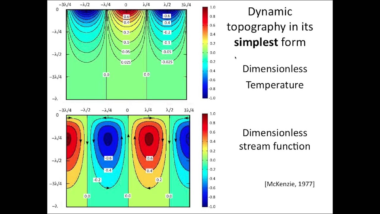
Peter Molnar: Mantle Dynamics, Isostasy, & Surface Topography - UNAVCO Science Seminar
2.5K
Admittance is the ratio of the Fourier transform of gravity anomaly to the Fourier transform of surface height, introduced by Dan McKenzie. For isostatically compensated topography, admittance is positive (~117 milligals per kilometer of topography). However, calculations of dynamic topography predict negative admittance in the relevant wavelength range (wave numbers 1-3). Observed admittance everywhere on Earth is always positive, creating a fundamental contradiction. This means that dynamic stresses contribute negatively to topography in ways that are not observed in nature, suggesting that dynamic contributions to mountain belt topography are negligible and that observed topography is primarily isostatically supported.
Click to watch →

SUPER XANDÃO REAGINDO - RENATO TREZOITÃO É QUESTIONADO POR M0NARK E COMETE ERRO BÁSICO EM PODCAST!!!
54.6K
When discussing Earth's shape, we are discussing topography, which has nothing to do with celestial bodies above us. Geocentrism is the belief that Earth is a stationary sphere while the sky rotates. The flat Earth model defends a stationary Earth with a rotating sky. The way humans observe gravity does not correspond to how Earth would behave if spherical. The argument that gravity is a fact causing things to fall is described as a lie. Stars are only visible at night, demonstrating Earth's rotation.
Click to watch →

Geophysics: Gravity - Terrain effect/correction - Part1
6.5K
This section establishes the theoretical foundation for understanding how topography affects gravity measurements. It begins with the infinite plate model for theoretical gravity, explaining how elevation above sea level contributes to gravitational acceleration. The critical insight is that mountains (excess mass) and valleys (mass deficit) both reduce observed gravity, which is why the topographic term carries a negative sign. The ring formula provides a systematic approach to quantify these effects by dividing terrain into concentric rings and calculating each ring's gravitational influence based on its elevation profile relative to the observation point.
Click to watch →

TOPOGRAFIA conceptos básicos (Sesión 1 INTRODUCCIÓN a la TOPOGRAFIA)
104.9K
Topography is the science that studies the relative location of points on the Earth's surface, encompassing both physical geography (texture, structure, color, permeability, porosity, drainage, consistency, depth) and human geography (rural/urban zones, political and social factors), along with geological considerations of earth materials. The essential instruments for topographic surveying include a total station, GPS, compass, prisms with poles, measuring tapes, and a field notebook. The workflow involves field work (measuring angles and distances) and office work (calculating coordinates, elevations, and creating graphical representations), with the final goal of producing a topographic map that serves as a reference for project execution and replanting.
Click to watch →

【生命】エウロパに落ちた者の末路………
1.1M
Europa's gravity is approximately 13% of Earth's gravity and about 80% of the Moon's gravity, but roughly twice that of Pluto. Europa has one of the smoothest surfaces in the solar system with minimal topographic variation, meaning few mountains or rocks obstruct the view, allowing for clear long-distance observation.
Click to watch →
Deep Dive
Differences between Surface Water and Groundwater: Knowing the distinction between water that flows overland and water stored in aquifers.

فرض في مادة العلوم الطبيعية الفصل الثالث للسنة الثالثة متوسط
207.8K
Surface water and groundwater differ fundamentally in origin, characteristics, and exploitation: (1) Origin: Surface water comes from direct precipitation (rain, snow) forming rivers, lakes, and reservoirs, while groundwater results from infiltration of precipitation through soil into underground rock aquifers; (2) Susceptibility to drought: Surface water is highly affected by drought conditions, while groundwater remains relatively stable; (3) Pollution vulnerability: Surface water is easily polluted due to its surface exposure, while groundwater is less susceptible to contamination; (4) Exploitation methods: Surface water is easily accessible for general use by living organisms, while groundwater requires technical and industrial infrastructure for extraction through wells and springs.
Click to watch →
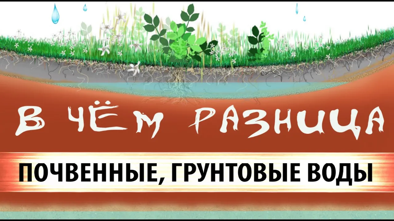
Поверхностные воды и грунтовые воды. В чём разница.
22K
Surface water (верховодка) collects at shallow depths (less than 1.5 meters) in puddles, ditches, and low-lying areas, while groundwater (грунтовые воды) is found at greater depths (typically 1.5-2 meters or more) and comes from underground geological formations like sand, clay, and rock; groundwater is generally cleaner and better suited for drinking water, whereas surface water can cause contamination and should be prevented from entering wells through proper construction techniques.
Click to watch →
اختبار مقترح رقم 2 علوم شامل الفصل الثالث س3م بمنهحية تحليل منحنى
31.5K
Surface water (rivers, lakes, ponds) comes from precipitation and is directly exposed to environmental factors. It is easily affected by drought and pollution. Groundwater exists in underground rock layers and is protected from surface conditions. It is less accessible (requires drilling) but less susceptible to pollution and drought.
Click to watch →

WaterTalk: William Blomquist
142
Surface water and groundwater have significant physical differences: flow rates (surface water takes days/weeks, groundwater much longer), temperature (groundwater around 50°F unsuitable for rice), mineral composition, and microbial composition differ. Both can be polluted but with different risks and remediation requirements. Economically, surface water involves large capital investments with low marginal costs, while groundwater is distributed with individual capital investments and ongoing energy costs. Surface water offers readily available uses including lakes, streams, rapids, waterfalls, reservoirs, oceans, and estuaries, creating strong emotional attachments. Groundwater offers limited visual representations (wells, cross-sectional diagrams), creating weaker emotional connections. These differences affect cost structures, benefit distribution, and emotional value placed on different water resources.
Click to watch →

فرض الفصل الثالث في العلوم الطبيعية للسنة الثالثة متوسط @المحيطالأزرق
76.8K
Groundwater is superior to surface water because it is protected from pollution, drought, and microbial contamination. Surface water, which collects on the Earth's surface in lakes, rivers, and ponds, is exposed to environmental factors that can contaminate it. Groundwater, stored underground in aquifers, remains hidden and shielded from these harmful influences, making it a cleaner and more reliable water source.
Click to watch →
Deep Dive
Basic River Anatomy: Conceptual understanding of terms like tributaries, mainstems, headwaters, and river mouths.

13 04 2 урок 2 класс Окружающий мир
105
Rivers have distinct parts: the source (исток) where rivers begin, the mouth (устье) where rivers flow into other rivers, lakes, or seas, and the channel (русло) the depression through which water flows. Rivers have right and left banks determined by looking downstream. Other rivers and streams flowing into main rivers are called tributaries (притоки). Natural water bodies include oceans, seas, lakes, rivers, and marshes, while artificial ones include ponds, reservoirs, and canals. This classification helps us understand Earth's water systems and their human uses.
Click to watch →

Introduction to Rivers
1K
Rivers have distinct anatomical components: source/headwaters (originating in mountains from rain, snowmelt, and groundwater), tributaries (smaller rivers flowing into larger ones), channels (the groove in the ground), banks (adjacent land areas), riparian ecosystems (riverbank habitats), and mouths (where rivers connect to lakes or oceans). Floodplains are fertile areas alongside rivers that receive nutrient-rich sediments during floods, making them among Earth's most productive ecosystems. However, this fertility comes with flooding dangers that have affected human civilizations for millennia.
Click to watch →

River Erosion and Deposition: How Rivers Shape the Earth
316.1K
Rivers have distinct anatomical parts: meanders are the curves or bends in rivers where significant erosion and deposition occur; stream banks are the edges of the river; the stream bed or river bed is the bottom surface; tributaries are smaller streams that flow into and merge with larger streams; and a river system consists of all tributaries and the main river together.
Click to watch →

LECTURE 4 LAND FORMS MADE BY RIVERS AND WORK OF RIVER CLASS 8
220
A river is a stream of water flowing in a proper channel, formed when glaciers melt in mountains creating small streams that combine into larger rivers. Key components include: Source (where water originates), Mouth (where river meets sea/ocean), and Catchment Area (the region collecting water). River flow characteristics depend on water volume and slope—high volume with steep slope creates fast flow, while low volume with gentle slope creates slow flow. Mountainous areas typically have faster rivers, while plains areas have slower rivers.
Click to watch →

Partes de um rio!
545
A river consists of several key components: (1) Nascente - the source where water emerges from springs, always at the highest terrain point; (2) Rio principal - the main river channel; (3) Afluentes - smaller rivers with separate sources that flow into the main river; (4) Subafluentes - even smaller rivers that flow into afluentes; (5) Meandros - curved bends formed as the river navigates around physical obstacles like rocks and mountains. These components work together to create the river's drainage system, with water flowing from high to low terrain due to gravity.
Click to watch →
Prerequisite Knowledge
- Concept 01The Water Cycle (Hydrologic Cycle): Familiarity with the basic processes of precipitation, infiltration, evaporation, and surface runoff.
- Concept 02Basic Topography and Gravity: Understanding how elevation changes, ridges, and valleys influence the downhill movement of water.
- Concept 03Differences between Surface Water and Groundwater: Knowing the distinction between water that flows overland and water stored in aquifers.
- Concept 04Basic River Anatomy: Conceptual understanding of terms like tributaries, mainstems, headwaters, and river mouths.
Subsequent Learning
- Step 01Point vs. Non-Point Source Pollution: Analyzing how pollutants enter and accumulate within a drainage basin from various sources.
- Step 02Watershed Management and Stormwater Planning: Exploring engineering and policy methods used to control runoff, prevent flooding, and protect water quality in urban areas.
- Step 03Riparian Zones and Wetland Ecology: Studying the vital role that streamside vegetation and wetlands play in filtering contaminants and preventing erosion.
- Step 04Eutrophication and Estuary Impacts: Understanding how agricultural and urban runoff affects downstream coastal ecosystems, leading to algal blooms and hypoxic dead zones.
- Step 05Hydrological Modeling: Utilizing Geographic Information Systems (GIS) to map watershed boundaries and predict water flow patterns.
What is a watershed
How watersheds work
Global relevance and importance
What is a watershed
0:02Playing Section
- 1
Defines a watershed as all land draining into one water body.
- 2
Clarifies common misconception that it only includes water bodies.
- 3
Broadens definition to include land, soil, and built environments.
The Hydrogeological Disconnect (Groundwater vs. Surface Watersheds)
While the classic definition of a watershed relies entirely on surface topography to map water flow, this model is critically limited because it ignores subsurface hydrogeology. In reality, groundwater basins (aquifers) often do not align with surface watershed boundaries. Water underground can flow across surface topographic divides, meaning that water and pollutants can migrate into entirely different drainage basins beneath the earth. Relying solely on the surface-level watershed concept overlooks these complex, invisible groundwater flow paths, which are vital for comprehensive water resource management and environmental protection.
Deep Dive
Point vs. Non-Point Source Pollution: Analyzing how pollutants enter and accumulate within a drainage basin from various sources.

Y Học Môi Trường - Ô nhiễm nước - 06/03/2024
410
Point sources are concentrated, identifiable discharge points (industrial pipes, sewage outfalls) that are easier to monitor and control. Non-point sources are diffuse pollution from multiple small contributions (agricultural runoff, urban stormwater) that are difficult to detect, measure, and regulate. Effective management requires different approaches for each type.
Click to watch →
Point & Nonpoint Source Pollution
1.9K
Point source pollution originates from a specific, identifiable location such as smoke stacks, industrial discharge pipes, or vehicle exhaust, making it easier to monitor and regulate; in contrast, nonpoint source pollution comes from diffuse, widespread sources like agricultural runoff, urban stormwater, or landfills, where the exact origin and contaminant composition are difficult to trace and manage.
Click to watch →

지구과학1_2017버전_050강_3-1_수질오염과 해양오염
202
Point source pollution comes from identifiable locations like factories and sewage plants. Non-point source pollution comes from diffuse sources like agricultural runoff and urban stormwater. Point source pollution is easier to regulate, while non-point source pollution requires broader management strategies.
Click to watch →

Week 1 - Wastewater Treatment and Recycling 2025 - Problem Solving Session
269
Point sources of pollution are identifiable, single discharge points (e.g., industrial effluent, discharge from sewage treatment plants) that are easier to monitor and control. Non-point sources are diffuse pollution from multiple origins (e.g., urban runoff, atmospheric deposition, agricultural runoff) that are difficult to monitor and control due to their scattered nature. Point sources have high individual impact and can be measured at specific locations, while non-point sources have lower individual impact but collectively contribute significantly to pollution.
Click to watch →

AP Environmental Science 8.1 - Point and Nonpoint Pollution Sources
150K
Point sources of pollution are easily identifiable and confined locations where pollutants enter the environment, such as discharge pipes from farms or factories, while nonpoint sources are diffuse pollutants entering from many places simultaneously, such as urban runoff or agricultural pesticide drift; importantly, AP Environmental Science FRQs require students to name specific pollutants (like ammonia, NOx, or glyphosate) rather than using vague terms like 'pollution' alone, as specific pollutants demonstrate deeper understanding of environmental concepts.
Click to watch →
Deep Dive
Watershed Management and Stormwater Planning: Exploring engineering and policy methods used to control runoff, prevent flooding, and protect water quality in urban areas.

Board of County Commissioners Work Session/Agenda Briefing 4-2-26
228
Watershed planning is a systematic approach to storm water management that involves understanding how water moves through a drainage area, identifying storage areas, and developing strategies to protect water quality and flood control. The process involves: (1) Collecting data on water flow patterns and storage capacity; (2) Developing flood protection level of service maps that identify areas at risk; (3) Identifying Best Management Practices (BMPs) that can address both flood control and water quality concerns; (4) Prioritizing capital projects based on cost-benefit analysis. Watershed plans are developed collaboratively with cities and water management districts to ensure consistency and coordination. In Pinellas County, 19 watershed plans have been developed, identifying over 383 potential capital projects with a total cost exceeding $1 billion.
Click to watch →

Step-By-Step Watershed Management (In Marathi) | पाणलोट नियोजन - प्रत्यक्ष उदाहरण
63.5K
Watershed management planning involves a systematic process where village teams, including local leaders, elders, and trained personnel, survey the watershed area from head to tail, identify existing and proposed water conservation structures (such as CCIT, gabion structures, bunds, and ponds), document treatments on maps using standardized symbols, and submit the plan through a digital application for approval, with the final submission deadline being April 6, 2017 for the Satyamev Jayate Water Cup competition.
Click to watch →
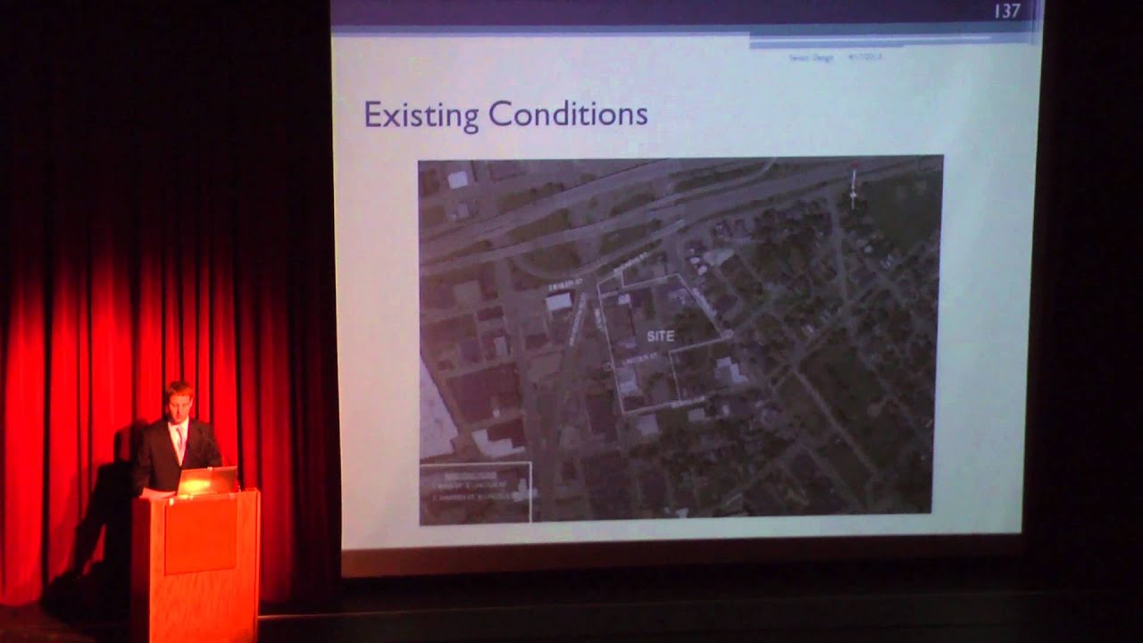
2013 Civil & Environmental Engineering & Engineering Mechanics Senior Capstone Presentation
551
Storm water management is the collection of runoff or rainwater that does not infiltrate through the soil into drainage structures and through an underground pipe network, eventually leading into a body of water such as a lake or river. The design uses Manning's equation with four variables: peak runoff from the total area, roughness coefficient (accounting for friction of stationary pipe against water), and slope of the pipe. The result is converted to inches and rounded up to the nearest nominal pipe diameter (ranging from 12 to 21 in). Watershed characteristics are based on a 24-hour 2% annual chance event with total precipitation depth of 4.96 in. The curve number is an empirical parameter for predicting direct runoff or infiltration based on hydrologic soil group, land use treatment, and hydrologic condition. For the pre-developed site, the composite curve number was 94, while post-development was 89. Time of concentration is the time it takes a single rain droplet to flow from the hydrologically most remote point to the outlet of a watershed.
Click to watch →
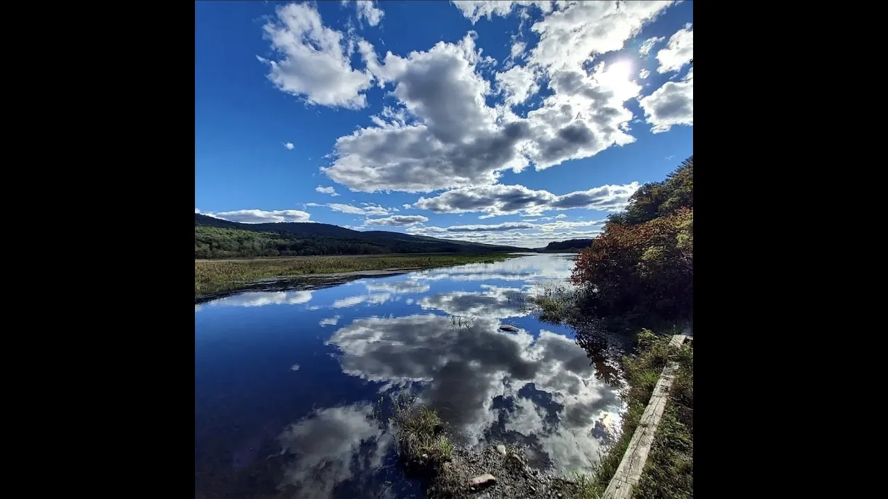
01/18/23 'What is a watershed management plan and why do we need one?'
119
A watershed management plan is a collaborative, stakeholder-driven approach to addressing water-related challenges across geographic boundaries, recognizing that water flows do not respect municipal lines and that effective solutions require integrating scientific data, community input, and multi-agency cooperation to protect water quality, prevent flooding, and sustain ecosystems from headwaters to downstream areas.
Click to watch →

S3 Aguascalientes: Elaboración de un Plan de Manejo, Restauración, Conservación y Productividad.
806
Watershed management is a set of coordinated actions aimed at regulating ecosystem functioning to improve quality of life for populations dependent on the watershed. This approach addresses interrelationships between highland, midland, and lowland areas. The planning framework includes diagnosis, prioritization, planning/design, implementation, and evaluation. The methodology has been tested in over 50 watersheds nationally. Prioritization focuses on areas with rapid hydrological response where interventions yield the greatest impact. Effective planning requires incorporating local knowledge alongside technical expertise.
Click to watch →
Deep Dive
Riparian Zones and Wetland Ecology: Studying the vital role that streamside vegetation and wetlands play in filtering contaminants and preventing erosion.
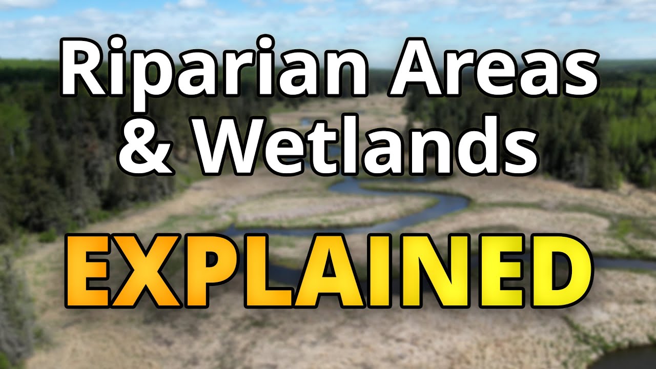
What are Riparian Areas and Wetlands? Importance | Functions | Types
131
Riparian areas are transition zones between water and land where moist soil supports water-loving vegetation, acting as natural filters that trap sediment and contaminants while preventing erosion and shading water to maintain optimal temperatures for aquatic life; wetlands are low-lying areas covered by water long enough to support aquatic plants and wildlife, functioning as biodiversity hotspots that protect against flooding and drought while storing carbon and cleaning water; together, these ecosystems form essential components of watersheds that improve water quality and support all living creatures.
Click to watch →

Riparian and Wetland Ecosystems
166
Riparian zones are buffer areas between dry land and water bodies that provide essential ecosystem services including water filtration, temperature regulation, and habitat for diverse wildlife; these areas support species like cottonwood trees, amphibians, birds, and mammals by providing food, shelter, and water resources, with vegetation acting as natural filters that prevent erosion and maintain water quality.
Click to watch →
Streambank Bioengineering: Riparian Zone Restoration Techniques
398
Riparian zones are critical ecological interfaces between aquatic and terrestrial habitats, comprising only about 1% of western landscapes yet serving as among Earth's most diverse biological systems. They provide essential functions: erosion control through sediment regulation, water quality enhancement through filtration, wildlife habitat creation, and serve as environmental change indicators due to hydrological sensitivity. Riparian zones consist of five component zones: (1) Toe Zone—between stream bed and average water elevation, highest stress, inundated over 6 months, suitable for wetland plants and fascines; (2) Bank Zone—between average water and bank full discharge, exposed to currents and debris, suitable for flexible-stemmed shrubs; (3) Overbank Zone—between bank full and overbank elevation, occasionally flooded, suitable for inundation-tolerant species; (4) Transitional Zone—where riparian species transition to terrestrial species, beginning tree establishment; (5) Upland Zone—above flood-prone area, threatened by agricultural practices, requiring drought-tolerant species. Streambank soil bioengineering uses live and dead plant materials combined with natural/synthetic supports for slope stabilization and erosion reduction, offering advantages of aesthetics, habitat creation, cost-effectiveness, and community involvement while requiring acceptance of maintenance needs and potential failure risks.
Click to watch →
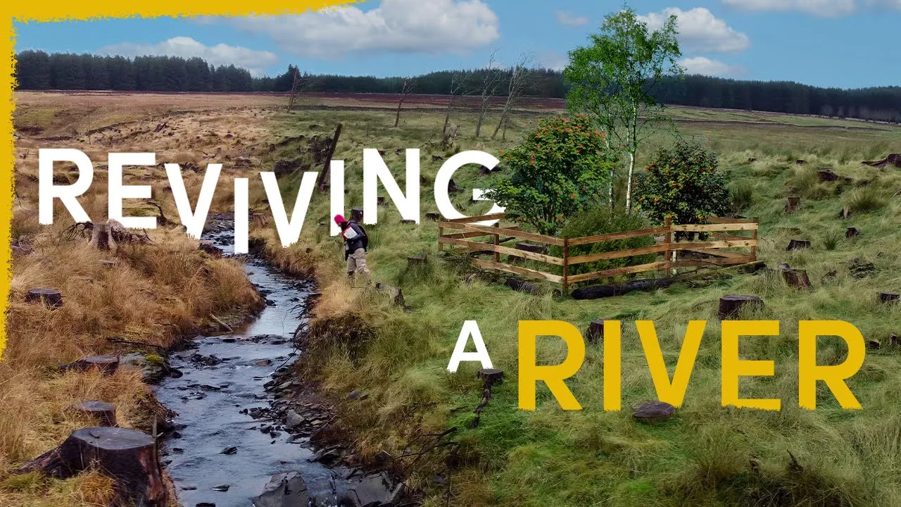
Our Strange Plan to Fully Rewild This River
3.1M
Riparian zones are the areas of land that connect aquatic habitats to land habitats. These zones are typically areas of extreme biodiversity where numerous and complex ecological interactions take place. Examples include leaves blowing in the wind which enrich the water for young salmon, and interactions with keystone species like beavers who engineer landscapes by building dams.
Click to watch →
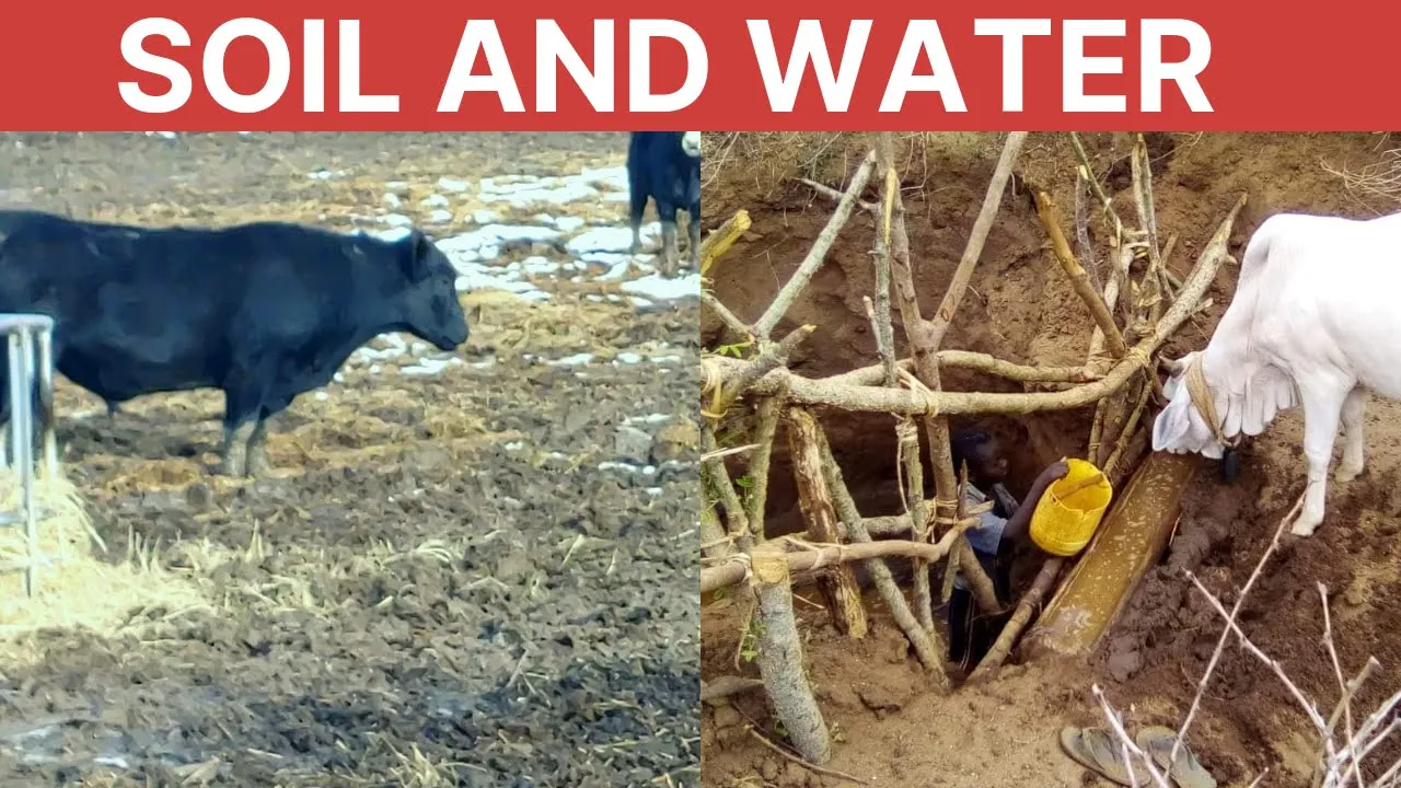
Virginia to Kenya: RIPARIAN BUFFERS WORK!
598
Riparian habitats are dynamic ecological zones transitioning between terrestrial and aquatic environments, characterized by high biodiversity and nutrient/energy transfer. These zones harbor unique organisms adapted to aquatic-terrestrial corridors. Riparian vegetation performs critical ecological functions: protecting streams from erosion and stormwater runoff, intercepting eroded materials, absorbing pesticides and nutrients like nitrates and phosphates, providing shade to decrease water temperature and reduce evaporation, recharging groundwater, and protecting associated wetlands. When riparian zones are unprotected, water quality deteriorates through increased sediment, nutrients, bacteria, and algae, raising purification costs for downstream communities.
Click to watch →
Deep Dive
Eutrophication and Estuary Impacts: Understanding how agricultural and urban runoff affects downstream coastal ecosystems, leading to algal blooms and hypoxic dead zones.
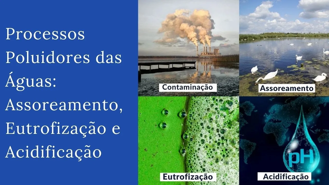
Processos Poluidores das Águas: Assoreamento, Eutrofização e Acidificação
609
Eutrophication creates ecological imbalance through: increased biomass reducing surface aeration, death of oxygen-sensitive organisms, oxygen depletion, competition between fish and decomposers, fish mortality, permanent bottom anoxia, phosphorus release from sediments, and toxic compound formation. Environmental impacts include reduced biodiversity, altered algal species, reduced fish diversity, unpleasant taste/odor, reduced transparency, and formation of potentially carcinogenic trihalomethanes during chlorination. Water supply is affected by clogged filters, complicated pH control, and increased costs requiring activated carbon and iron/manganese removal. Recreational use is impaired, irrigation systems become obstructed, and property values decline. Control measures include: preventive (tertiary wastewater treatment, industrial effluent treatment, reduced fertilizer use, riparian restoration) and corrective (bottom aeration, phosphorus precipitation, macrophyte harvesting, sediment removal).
Click to watch →

Environmental Engineering - Day 1
471
Water pollution impacts include: (1) Human health effects - water-related diseases like cholera, typhoid, dysentery, and skin diseases; (2) Long-term health effects from toxic chemical exposure; (3) Aquatic ecosystem effects - decreased dissolved oxygen (minimum 4 ppm required for fish survival) harming aquatic organisms; (4) Eutrophication - excessive algae growth blocking sunlight and reducing oxygen. MCQ questions may ask about eutrophication definition, control methods (copper sulfate, chlorine), and where it commonly occurs (lakes are more prone than rivers due to stagnant water). Groundwater can also be contaminated through seepage through soil into underground aquifers, and groundwater is more sensitive to pollution than surface water and difficult to treat once contaminated.
Click to watch →
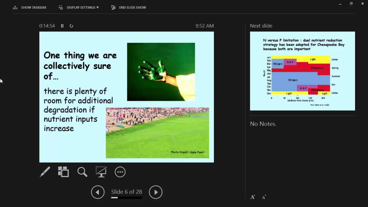
Impact of Phosphorus on Water Quality - Dr. Walter Boynton - January 30, 2015
361
Excessive nitrogen and phosphorus inputs transform healthy estuaries into degraded systems. In nutrient-enriched conditions, algal blooms proliferate, die, and sink to deep waters where bacterial decomposition consumes oxygen, creating hypoxic or anoxic 'dead zones.' These conditions destroy habitat, reduce water clarity, eliminate seagrasses, and disrupt food webs. Unlike toxic pollutants, nitrogen and phosphorus are essential nutrients—the problem is excess, not toxicity. This 'nutrient obesity' creates conditions similar to human overeating: initially beneficial but ultimately harmful when consumed in excess.
Click to watch →

Sistemas Estuarinos Costeiros - Aula 14 - Balanço de Nutrientes e Eutrofização (Parte 2)
102
Eutrophication causes multiple interconnected environmental problems: reduced water transparency from phytoplankton and macrophytes absorbing light; oxygen depletion from decomposing organic matter; pH elevation causing ammonia toxicity to fish; and biodiversity loss as only adapted species survive. Cyanobacteria dominate eutrophic environments because they fix atmospheric nitrogen, producing cyanotoxins causing hepatotoxic and neurotoxic effects. Scientific evidence links cyanotoxin exposure during pregnancy to microcephaly in newborns. The Chesapeake Bay case study demonstrates how phytoplankton blooms create oxygen-depleted 'dead zones' forcing fish migration. Over 300 dead zones exist globally, representing a growing environmental challenge requiring comprehensive solutions including agricultural practices reducing runoff, improved wastewater treatment, wetland restoration, and urban green infrastructure.
Click to watch →
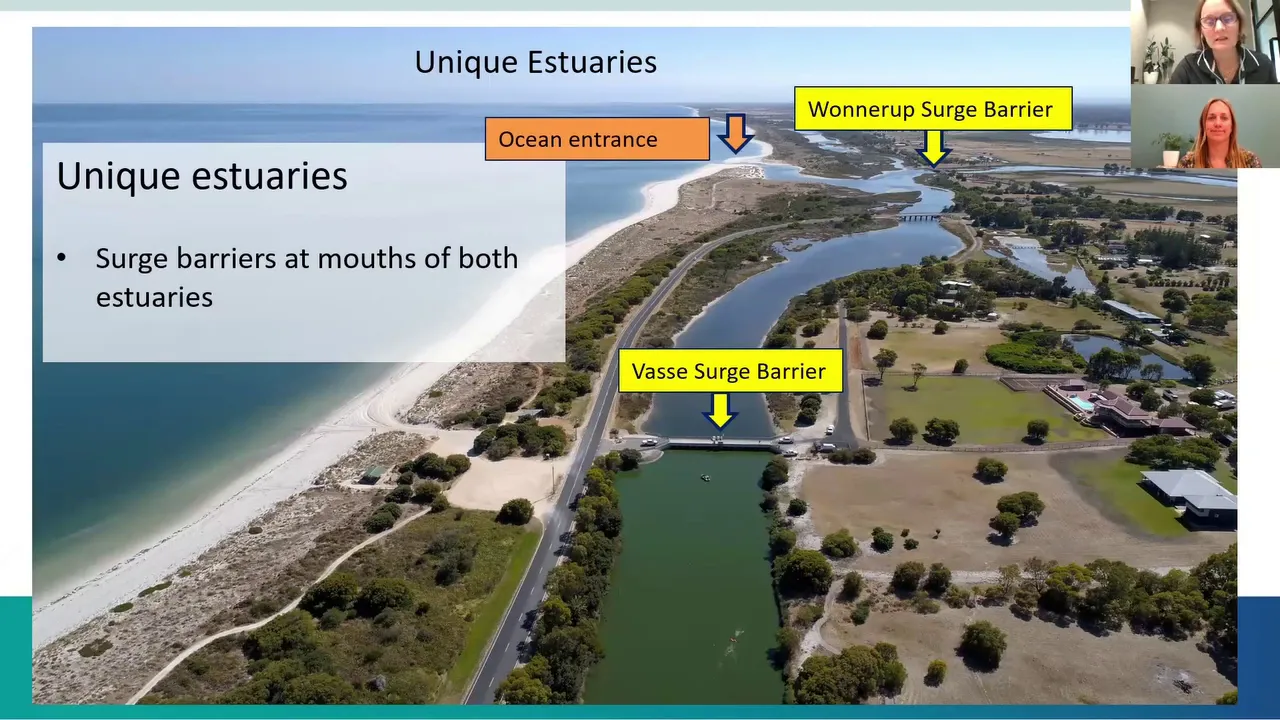
Algae salt and solutions: Water quality and gate management webinar
145
Estuaries suffer from eutrophication when nutrient-rich river water enters, promoting excessive algal growth. High nitrogen and phosphorus concentrations fuel phytoplankton and macroalgal blooms. When these organisms die and decompose, oxygen is consumed, creating hypoxic conditions lethal to aquatic life. The Vasse-Wonnerup estuaries have experienced seven fish kills in ten years. Surge barriers installed in 1908 protect against flooding but alter natural hydrology. The 1990 management guidelines established thresholds (-0.1 meters AHD) for seawater inflow to prevent complete drying. Seasonal water level cycles—winter fullness supporting bird habitat and seagrass growth, summer decline creating mud flats—drive ecological productivity but also create conditions favorable for algal blooms and fish kills.
Click to watch →
Deep Dive
Hydrological Modeling: Utilizing Geographic Information Systems (GIS) to map watershed boundaries and predict water flow patterns.
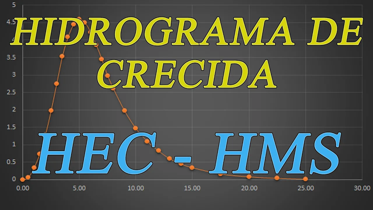
Como elaborar hidrogramas de crecida con HEC-HMS
85.5K
This tutorial introduces HEC-HMS (Hydrological Modeling System), a free software developed by the US Army Corps of Engineers for hydrological analysis. The instructor explains that water is fundamental to all natural processes and its conservation is essential for current and future generations. The software is available for download and installation without cost. The tutorial serves as a practical complement to the instructor's hydrology textbook, demonstrating how computer tools simplify flood hydrograph calculations. The instructor recommends using version 4.0 over 4.1 due to certain issues encountered in the newer version.
Click to watch →
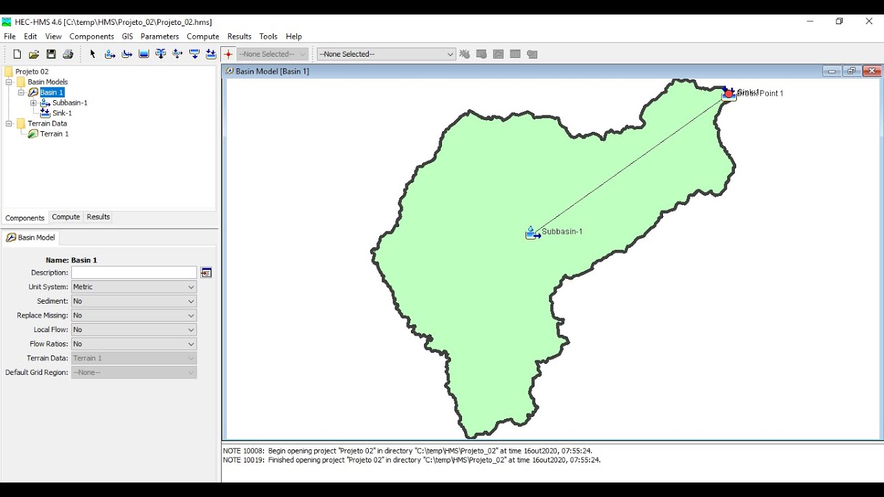
HEC HMS 1 (Introdução)
9.1K
HEC-HMS (Hydrologic Modeling System) is a hydrological modeling software developed by the Hydrology Center of the U.S. Army Corps of Engineers that enables engineers to simulate watershed hydrology through interconnected components including sub-basins, river reaches, and confluences, using methods like SCS curve number for effective rainfall estimation and unit hydrograph for flow generation, with a seven-step workflow for project creation, data entry, element definition, method selection, control specification, run creation, and result analysis.
Click to watch →

Aprenda a Usar o Software HEC-HMS para Modelos Hidrológicos!
4.8K
HEC-HMS (Hydrologic Modeling System) is a free, American-developed software widely used in Brazil for hydrological modeling. The software requires users to build models from scratch, creating geographic objects like watersheds and outlets that carry specific attributes including area, Curve Number (CN), and lag time. The instructor, José Costa, emphasizes that urban drainage engineering faces significant challenges despite limited academic coverage, creating opportunities for professionals who master these skills. The field offers substantial career potential given high demand and relatively few qualified practitioners. Before using HEC-HMS, hydrological parameters must be calculated externally in Excel, including time of concentration using Kirpich's equation, lag time (60% of time of concentration), initial abstraction (20% of potential maximum infiltration), and rainfall distribution using the Ruff method. Duration selection follows a systematic approach: test duration equal to time of concentration first, then 1.5x and 2x durations to identify the most critical condition.
Click to watch →

PFPMCG | Modelagem Climática e Ambiental
4.4K
Hydrological modeling has evolved through phases responding to technological resources and social demands, now incorporating Anthropocene human impacts at basin scales. Hydrological systems are complex with emergent properties arising from small-scale process combinations producing large-scale runoff. Physically-based modeling using conservation equations faces challenges from extreme environmental heterogeneity and parameter uncertainty. The systems approach using reservoirs and flow equations provides computationally tractable alternatives. Coupling with climate models enables seasonal flow regime forecasting, though challenges remain in representing anthropogenic modifications and low-frequency climate variability.
Click to watch →

HIDROLOGIA-DETERMINACIÓN DE CAUDALES DE DISEÑO CON EL HEC-HMS
11.5K
Evaporation and evapotranspiration are generally not significant during short-duration storm events (3-6 hours) because: (1) Storm duration is brief compared to evaporation rates; (2) Storm conditions typically involve cloud cover preventing solar radiation; (3) The intense rainfall dominates the energy balance. However, for continuous simulations spanning months or years, evaporation must be incorporated. HEC-HMS includes evaporation options, as do other continuous models like SWAT and HEC-HMS with SMA module.
Click to watch →
What is a watershed
How watersheds work
Global relevance and importance
What is a watershed
0:02- 1
Defines a watershed as all land draining into one water body.
- 2
Clarifies common misconception that it only includes water bodies.
- 3
Broadens definition to include land, soil, and built environments.
The Hydrogeological Disconnect (Groundwater vs. Surface Watersheds)
While the classic definition of a watershed relies entirely on surface topography to map water flow, this model is critically limited because it ignores subsurface hydrogeology. In reality, groundwater basins (aquifers) often do not align with surface watershed boundaries. Water underground can flow across surface topographic divides, meaning that water and pollutants can migrate into entirely different drainage basins beneath the earth. Relying solely on the surface-level watershed concept overlooks these complex, invisible groundwater flow paths, which are vital for comprehensive water resource management and environmental protection.
The Water Cycle (Hydrologic Cycle): Familiarity with the basic processes of precipitation, infiltration, evaporation, and surface runoff.
Basic Topography and Gravity: Understanding how elevation changes, ridges, and valleys influence the downhill movement of water.
Differences between Surface Water and Groundwater: Knowing the distinction between water that flows overland and water stored in aquifers.
Basic River Anatomy: Conceptual understanding of terms like tributaries, mainstems, headwaters, and river mouths.
Point vs. Non-Point Source Pollution: Analyzing how pollutants enter and accumulate within a drainage basin from various sources.
Watershed Management and Stormwater Planning: Exploring engineering and policy methods used to control runoff, prevent flooding, and protect water quality in urban areas.
Riparian Zones and Wetland Ecology: Studying the vital role that streamside vegetation and wetlands play in filtering contaminants and preventing erosion.
Eutrophication and Estuary Impacts: Understanding how agricultural and urban runoff affects downstream coastal ecosystems, leading to algal blooms and hypoxic dead zones.
Hydrological Modeling: Utilizing Geographic Information Systems (GIS) to map watershed boundaries and predict water flow patterns.
1.4M views7.9Klikes1:18@BattleRiverWatershedOriginal Release: 2013-12-02
[Music] what is a water shed is it a shed that holds water no try again a watered is all of the land that drains into the same location or body of water people tend to think only of water bodies such as rivers lakes and wetlands as being part of their wed however any land whether it is Park Farm Forest school parking lot and even the soil build our homes on is also included think of a watered as a funnel collecting all the water within a specific area and draining into the nearest body of water drop by drop water is channeled into soil groundwater creeks and streams making its way to larger rivers and eventually the ocean everyone in the world lives in a watershed watersheds know no political borders whether local National or International [Applause] our environment our economy and our society all depend on a healthy water shed [Music]
Up Next

13:53
Reservoir Sedimentation: Causes, Impacts, and Mitigation Strategies
@Asianometry
412.3K views•2023-01-23

15:54
Life in Biosphere 2: Sustainable Ecosystems & Human Survival
@TED
334.9K views•2009-06-16

14:30
Microplastics Everywhere: How Plastic Impacts Our Lives
@TEDx
100.9K views•2018-05-08

10:28
Ice Stupa Artificial Glaciers: Solving Ladakh's Water Crisis
@SonamWangchuk66
3.2M views•2015-05-03
Related Study Plans & Knowledge Roadmaps
Structured learning paths in Environmental Science
environmental-science
Ocean Noise: Cetacean Impacts & Mitigation
01Fundamentals of Underwater Acoustics
02Marine Mammal Bioacoustics
03Anthropogenic Noise: Shipping & Seismic Surveying
+ 2 more learning modules
16h5 modules
Explore Roadmap
environmental-science
Road Ecology: Corridors, Overpasses & Fencing
01Foundations of Habitat Fragmentation and Carnivore Ecology
02The Road Barrier: Ecological Impacts of Transport Infrastructure
03Principles of Ecological Corridors and Connectivity Mapping
+ 3 more learning modules
14h6 modules
Explore Roadmap
environmental-science
Ocean Acidification: Kelp Buffering & Shellfish
01Fundamentals of Ocean Chemistry & pH
02Chemical Pathways of Coastal Acidification
03Bivalve Physiology & Calcification Under Stress
+ 2 more learning modules
18h5 modules
Explore Roadmap
environmental-science
Ice Stupas: Glacial Retreat & Water Security
01Foundations of Glaciology & Mountain Hydrology
02Climate Change and Glacial Retreat Dynamics
03The Science of Ice Stupas & Artificial Glaciers
+ 2 more learning modules
14h5 modules
Explore Roadmap