











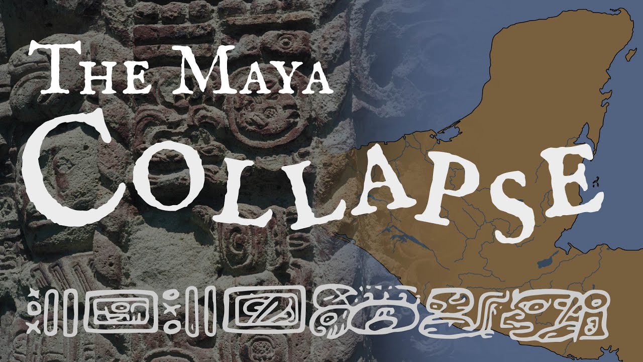

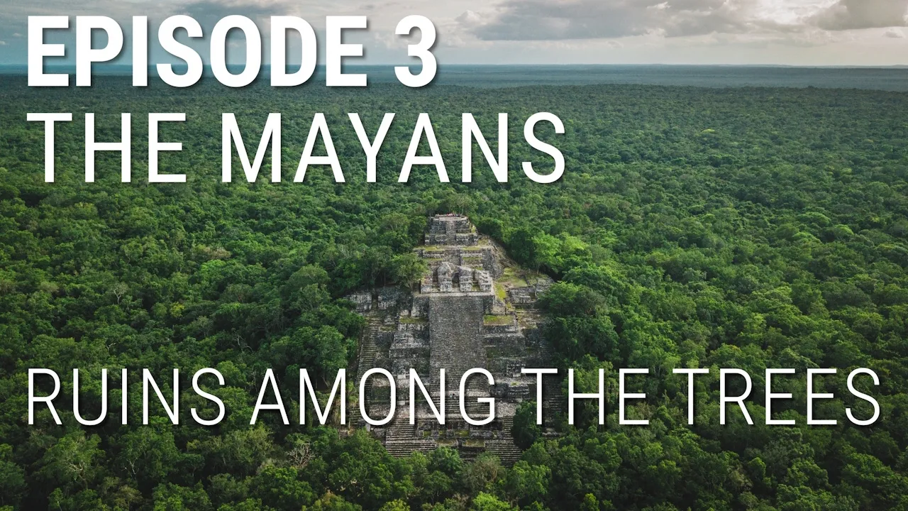





El Mirador, Guatemala's ancient Maya capital city that flourished between the 6th century BC and 1st century AD, was recently rediscovered through revolutionary LiDAR technology, revealing it as part of a vast interconnected network of cities covering over 800 square miles—far larger than previously believed—and demonstrating that complex civilizations could thrive in tropical environments, challenging the assumption that such societies only developed in temperate zones.
The Lost Maya City of El Mirador: A Forgotten Ancient Capital
Added:Chronology of Mesoamerica: Understanding the distinction between the Preclassic, Classic, and Postclassic periods of Maya civilization.
Basic Geography of the Maya World: Familiarity with the Petén Basin region and the tropical rainforest environment of Guatemala.
Fundamentals of LiDAR Technology: How Light Detection and Ranging works to map archaeological sites through dense forest canopies.
Mesoamerican Monumental Architecture: The socio-political and religious significance of pyramids and civic-ceremonial centers in ancient societies.
The Preclassic Maya Collapse: Investigating the environmental, political, and social factors that led to the abandonment of El Mirador around 150 CE.
Sacbeob (Maya Causeways) and Regional Connectivity: Exploring how these elevated roads facilitated trade, military movement, and political integration.
Ancient Mesoamerican Water Management: Analyzing the hydraulic engineering systems (reservoirs, canals) required to sustain massive populations in karst environments.
Contemporary Conservation and Politics in Archaeology: Examining the challenges of protecting the Maya Biosphere Reserve against looting, deforestation, and development.
98.4K views3.5Klikes10:22Original Release: 2019-08-12
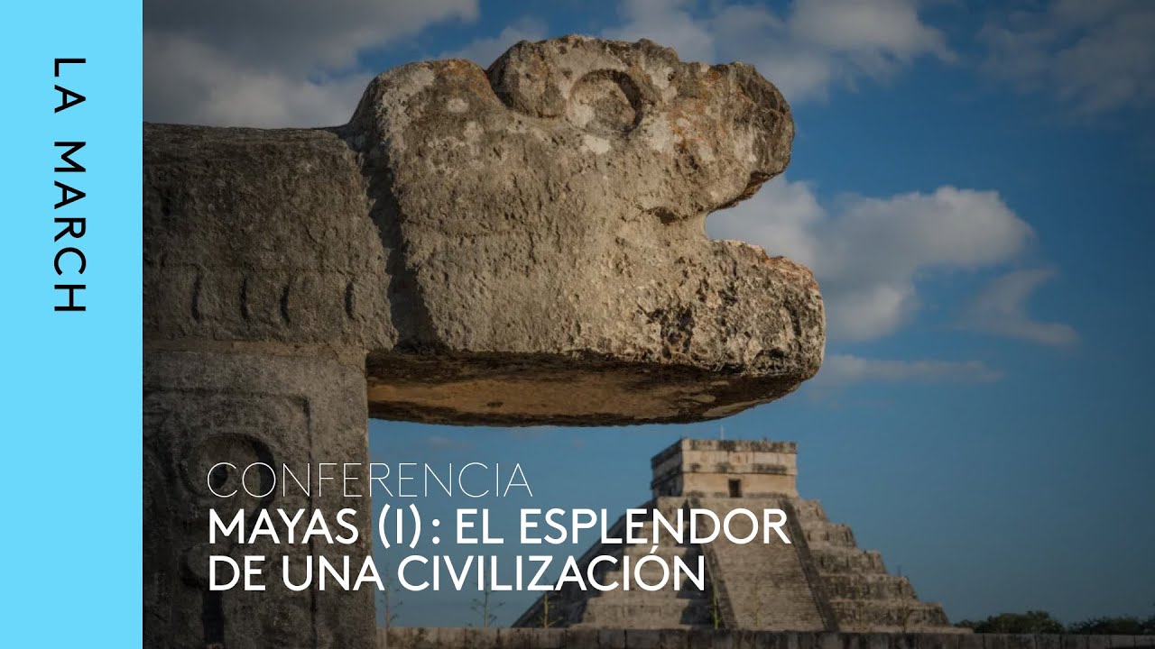
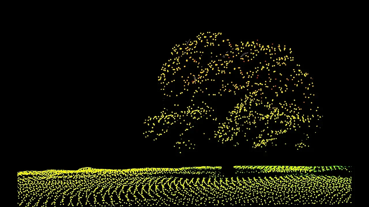
[Music] hello everybody and welcome to ancient architects please subscribe now to get the latest ancient history news and independent research from around the world when you think of the Maya ruins of Guatemala you often think of the great plaza of Tikal a city that was thriving between 700 to 800 AD with pyramids and palaces aplenty these ruins are iconic being one of the largest archeological sites of the pre-columbian Maya civilization covering more than 6 square miles and boasting an incredible 3,000 structures much like the Mexican site if the Ottawa Khan compared to the relatively unknown Great Pyramid of Cholula the ancient city of Tikal overshadows another superpower of the Maya the lost city of el morado which today is lost within the dense jungle of Guatemala el morado thought with the ancient capital city of the Maya rose to prominence many centuries before Tikal and flourished between the 6th century BC and the 1st century AD as well as being home to tens of thousands of people it also has several thousand stone structures including the tallest structure ever built by the Maya the danto pyramid this enormous stone structure one of the world's largest pyramids spokes above the trees of the northern Guatemalan jungle it is 236 feet tall about half the size of the Great Pyramid of Egypt but has a volume of nearly 99 million cubic feet which is actually more than 7 million cubic feet larger than Egypt's ground structure experts have calculated that 15 million Monday's of labor were required to build it ladonna is one of 3 main pyramid structures in the city the other two being El Tigre which stands 180 feet high and los monos a 157 feeds these pyramids differ from the more famous examples around the world as they are all triadic structures huge pyramid like monuments but with 3 summit pyramids as shown here there are in fact a total of 35 triadic structures in El Mirador these enigmatic structures were all faced with smooth stone which were then decorated with large stucco masks depicting Maya deities furthermore archaeologist Carlos Morales Aquila says the entire city was planned from his foundations as various architectural groups and also the main temples show clear and obvious alignments possibly related to the movement of the Sun the city of El Mirador was only discovered in 1926 as it is an incredibly difficult site to access you can't take any real roads to get there and it takes huge effort to travel through the dense jungle to reach it but when you do by all accounts is spectacular El Mirador is Spanish for the lookouts due to the large the dontoh pyramids that pokes through the trees but it was anciently known as the can kingdom Ian Graham first mapped the area in 1962 and it was only in 1978 when the first full-scale excavation of the city began these excavations ended in 1983 but archaeologists were surprised that the city greatly predated the more well known Maya sites like Tikal it wasn't until the 21st century when El Mirador was reinvestigated and this time 52 universities were involved in a multi-discipline approach to understanding the ancient sites work that culminated in 168 scientific papers being published as well as a number of films and documentaries they discovered it was a prime location for agriculture due to the abundance of seasonal swamps the mud from the swamps will be dug out and it was used to cover terraces which together with the addition of lime made for fertile soil to grow crops such as corn beans cotton palm squash and so on and when the ground became depleted in nutrients all they had to do was remove more mud from the swamps one of the most interesting features of the city is the quantity and size of the causeways both internally linking the important parts of the city but also externally linking Aylmer are door to other Maya settlements dozens of miles away these causeways are raised two to six me above the ground and I stated some extent for miles and they're around 20 to 50 meters in width the experts estimates the during its heyday the city may have been home to 100,000 to 250,000 people as stated it flourished from the 6th century BC but his origins are likely far older like a number of cities in this region it was abandoned around 150 AD archaeologists discovered a large wall three to eight meters high that'll be constructed on the northern eastern and southern parts of the West group of the city a later edition that suggests an outside threats experts believe that soil erosion from deforestation also led to the decline of the city a process that led to the burial of the Fertile mud in the swamps which became trapped under 2 to 3 metres of clay this resulted in poor soil for agriculture and failed crops and of course without food any powerful and rich civilization will ultimately collapse around 700 AD parts of the city were V occupied but to a far lesser extent with the largest structures being just 8 meters high El Mirador was abandoned once again around 900 AD and the city was never settled again El Mirador is such a remote sites that today it cannot be a tourist location although there are plans for the site to be part of a major conservation projects but this is no easy task in many parts of Guatemala the forest is being cleared without consideration for the environment or its history the equipment used can and does cause destruction and the happy reports of looting at many ancient Maya size trafficking mire artifacts his big business with an estimated 10 million dollars worth of artifacts being illegally sold every month because of this El Mirador is endangered but how much history has already been lost there are 26 known sites of historical interest within the marauder basin in northern Guatemala only 14 have been studied and there are approximately 30 more awaiting discovery but by the these sites have been reached by the experts they may have already been looted of anything of value only last year in February 2018 did the expert release new laser scans of the so called megalopolis below the Guatemalan jungle a vast interconnected network of ancient cities there were home to millions more people than previously thought in this part of the world this discovery thanks to the use of the revolutionary lidar technology was a major breakthrough in our understanding of Maya archaeology with more than 60,000 houses palaces elevated causeways and other man-made features being identified scholars were able to remove the tree canopy from aerial images of the overgrown landscape to reveal the ruins of this sprawling pre-columbian civilization it proved beyond any doubts that the Maya civilization was far more complex and interconnected the most specialists have assumed until 2018 everybody had underestimated the Maya more than 800 square miles of the Maya biosphere reserve in the peten region of Guatemala were mapped producing the largest datasets ever obtained for archaeological research this was clearly a sophisticated culture that existed for hundreds of years with the experts saying it was comparable to the well known powerful civilizations of ancient Greece and China we see razed highways connecting urban centres and quarries complex irrigation and terracing systems that supported intensive agriculture that was capable of feeding the masses of workers who reshaped the Guatemalan landscape many of these sites would certainly have been connected with a lost city of el morado talking to National Geographic in 2018 Marcelo kanuto an archaeologist of Tulane University said this was a civilization that was literally moving mountains we've had the western concedes the complex civilizations can't flourish in the tropics that the tropics where civilizations go to die but with new lidar based evidence from Central America and Cambodia's Angkor Wat we have to consider that complex societies may have formed in the tropics and made their way out from there lidar technology is revolutionizing the field of archaeology just like the Hubble telescope and how it revolutionized astronomy and it will take at least 100 years to even go through the data from the Guatemalan forest birds with the problems identified already with deforestation and looting the archeologists probably haven't got that long but thankfully we know from the data that the sprawling city of El Mirador was no isolated site it was part of a huge network of settlements and fines from this region continued to rewrite history El Mirador is one of the most important ancient cities of the Americas it was huge well-planned and well organized and it was home to tens of thousands of people yet today it is still a city lost within the rainforest but it is the systematic removal of this forest today that may lead to the final destruction of this incredible ancient city thank you very much for watching this episode of ancient architects if you enjoyed the video please subscribe to the channel please like the video and please leave a comment below thank you very much
Up Next

0:58
Wildfire Ecology: Natural Fire Processes and Recovery Dynamics
@SleepyScienceReal
530 views•2026-07-31

12:54
Triumph of Orthodoxy Icon: Byzantine Art & History Explained
@BenCallan
2.1K views•2024-08-06

9:49
FastAPI vs Flask vs Django: Choosing the Right Python Web Framework
@TechWithTim
302.5K views•2024-05-26

1:42
Game of Thrones Opening Credits: A Cinematic Analysis
@gameofthrones
46.3M views•2011-04-18
Related Study Plans & Knowledge Roadmaps
Structured learning paths in General & Interdisciplinary Studies
general-studies
Elevator Engineering: History, Physics & Cities
01From Hoists to Safety Brakes: The Dawn of Vertical Lift
02Hydraulic vs. Traction: The Engineering Physics of Elevators
03Modern Speed, Safety, and Algorithms
+ 2 more learning modules
12h5 modules
Explore Roadmap
general-studies
Rubber: Material Science, History & Geopolitics
01Origins of Natural Rubber & Mesoamerican History
02The Chemistry of Natural Rubber & Vulcanization
03The Geopolitics of the Rubber Boom & Colonization
+ 2 more learning modules
12h5 modules
Explore Roadmap
general-studies
Containerization: Evolution, Logistics & Trade
01Ancient Trade & Bulk Cargo: Amphorae to Barrels
02The Industrial Revolution & Cardboard Packaging
03The Containerization Revolution: Malcom McLean
+ 2 more learning modules
12h5 modules
Explore Roadmap
general-studies
Textile Tech: Evolution, Labor & Global Impact
01Pre-Industrial Textiles: Handloom & Cottage Industry
02Mechanization: The Spinning Jenny to the Power Loom
03The Factory System & Global Labor Transformation
+ 2 more learning modules
10h5 modules
Explore Roadmap