











![Types of Map Projections [AP Human Geography]](https://i.ytimg.com/vi_webp/IBYzeT2O97g/maxresdefault.webp)




It is mathematically impossible to represent the surface of a sphere (Earth) on a flat plane without some form of distortion; all world maps must make trade-offs between preserving shape, distance, direction, and land area, with different projections serving different purposes such as navigation (Mercator) or accurate area representation (Gall-Peters), and the best representation of Earth's true appearance remains a globe.
The Mathematical Impossibility of Accurate World Maps
Added:Understanding basic spherical geometry, specifically the mathematical differences between a three-dimensional curved surface and a two-dimensional flat plane.
Familiarity with the geographic coordinate system, including the concepts of latitude, longitude, the equator, and the poles.
The fundamental cartographic properties of maps: area, shape (conformality), distance, and direction.
A basic grasp of scale and how representing a large physical body on a small medium introduces proportional discrepancies.
Carl Friedrich Gauss's 'Theorema Egregium' (Remarkable Theorem), which provides the formal mathematical proof that a sphere's surface curvature cannot be flattened without distortion.
The study of 'compromise projections' such as the Robinson and Winkel Tripel projections, which balance distortions rather than eliminating them.
The practical application of coordinate reference systems (CRS) in modern Geographic Information Systems (GIS) and spatial data analysis.
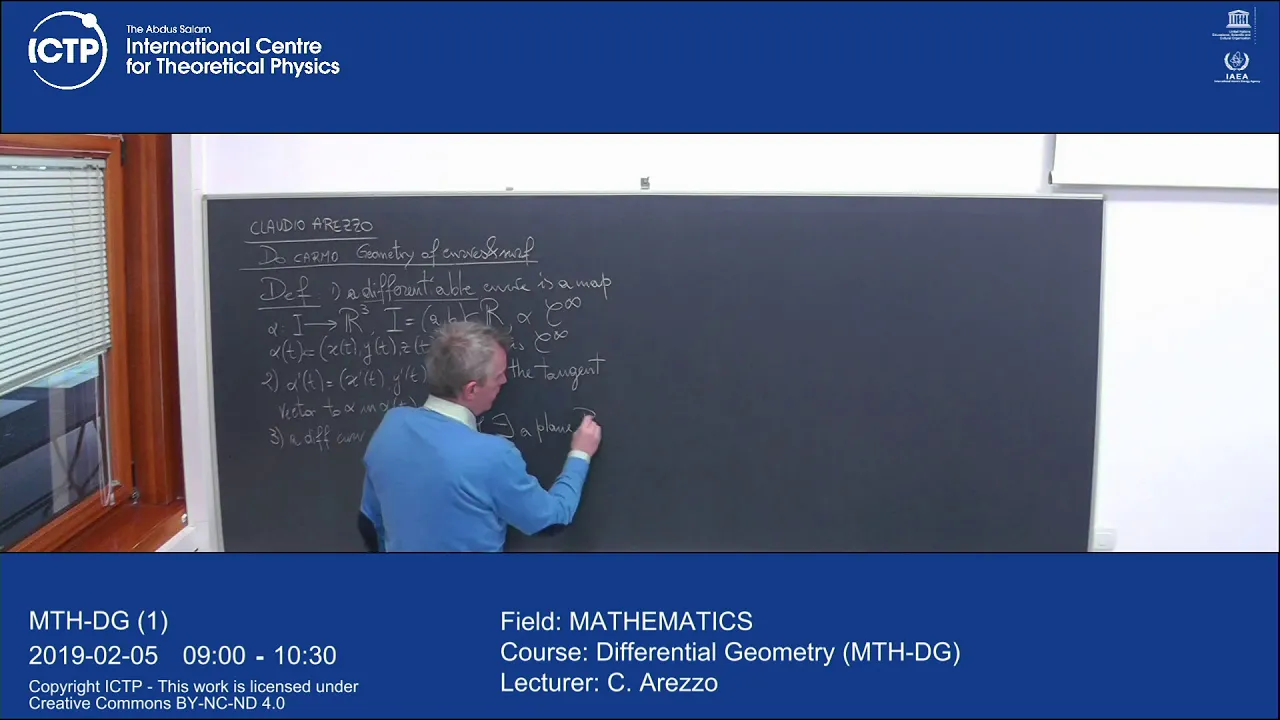
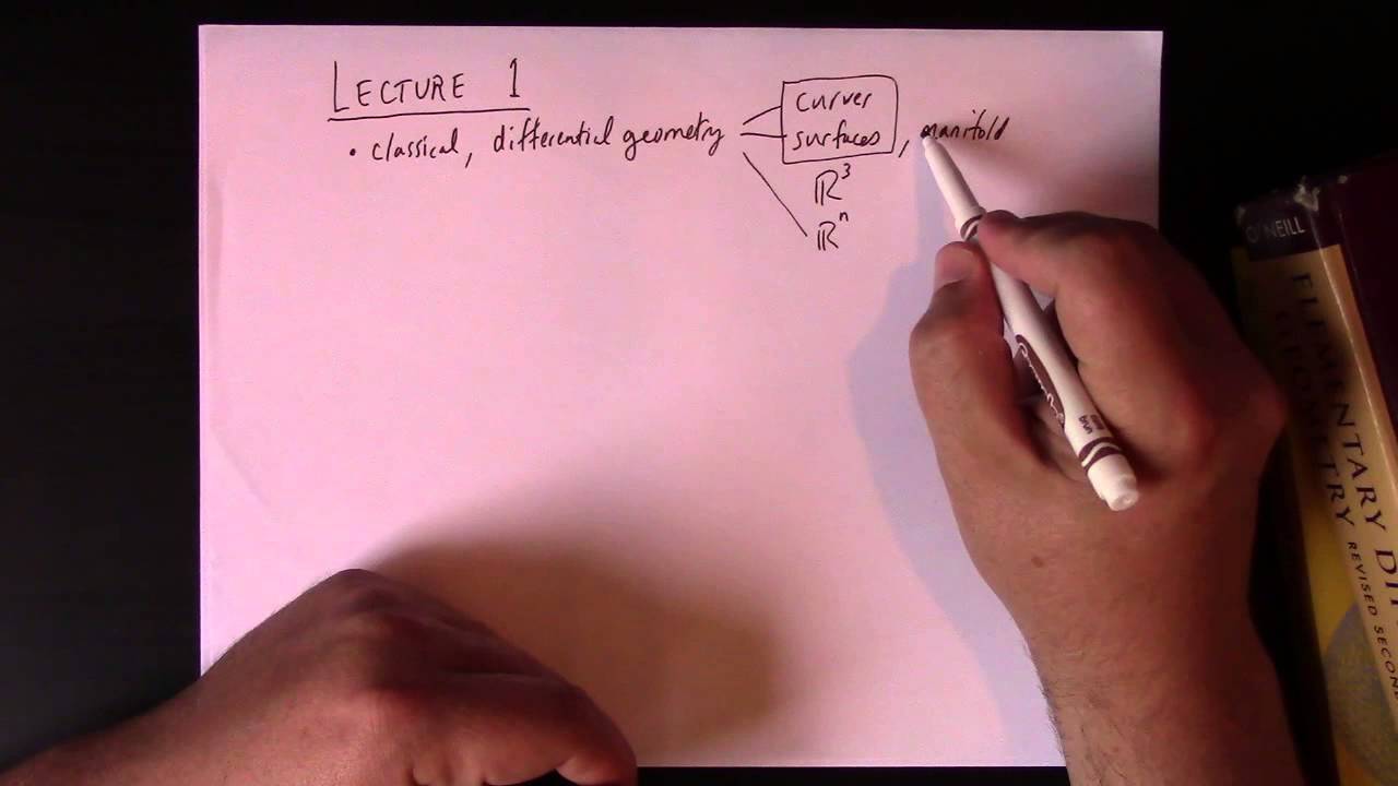
An introduction to Differential Geometry, exploring how calculus is used to analyze properties of curves, surfaces, and manifolds.
23.3M views380.8Klikes6:00Original Release: 2016-12-02
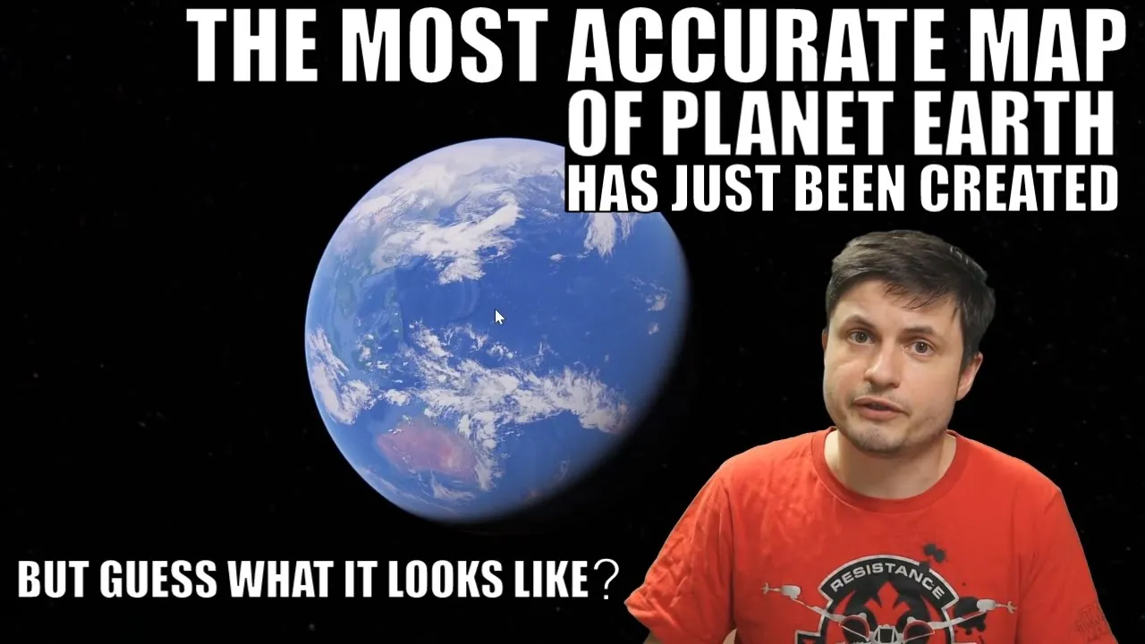
If I want to turn this globe into a flat map, I’m going to have to cut it open.
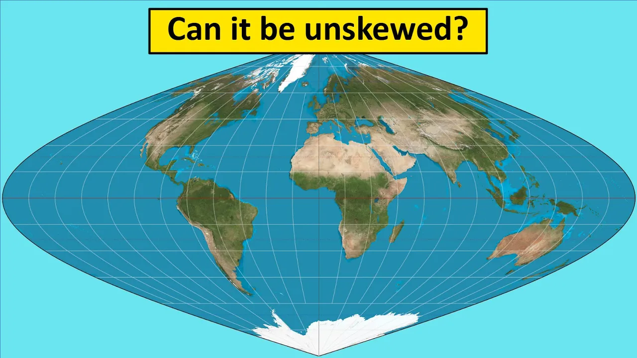
In order to get this to look anything like a rectangle.
I've had to cut it in places. I've had to stretch it so that the countries look all wonky.
And even still, it's almost impossible to get it to lie flat.
And that right there is the eternal dilemma of map makers: The surface of a sphere cannot be represented as a plane without some form of distortion.
This guy proved that with math a long time ago.
Since around 1500s, mathematicians have set about creating algorithms that would translate the globe into something flat.
To do this, they use a process called projection.
Popular rectangular maps use a cylindrical projections.
Imagine putting a theoretical cylinder over the globe and projecting each point of the sphere onto the cylinder’s surface.
Unroll the cylinder, and you have a flat, rectangular map.
But you could also project the globe onto other objects, and how exactly a map maker projects the globe will affect what the map looks like once it’s all flattened out.
And here’s the big problem: Every one of these projections comes with trade offs in shape, distance, direction and land area.
Certain map projections can be either misleading or very helpful depending on what you are using them for.
Here’s an example.
This map is called the Mercator projection.
If you’re American, you probably studied it in school.
It’s the projection Google Maps uses.
Mercator projection is popular for a couple of reasons.
First, it generally preserves the shape of the countries.
Brazil on the globe has the same shape as Brazil on the Mercator projection.
But the real purpose of the Mercator projection was navigation -- it preserves direction, which is a big deal if you are trying to navigate the ocean with only a compass.
It was designed so that a line drawn between two points on the map would provide the exact angle to follow on a compass to travel between those points.
If we go back into a globe, you can see that this line is not shortest route.
But it provides a simple, reliable way to navigate across oceans.
Gerardus Mercator, who created the projection in the 16th century, was able to preserve direction by varying the distance between latitude lines while also making them straight, creating a grid of right angles.. But that created other problems.
Where mercator fails is its representation of size.
Look at the size of Africa as compared to Greenland.
On the mercator map they look about the same size.
But look at a globe for Greenland’s true size, and you’ll see it’s way smaller than Africa.
By a factor of 14 in fact.
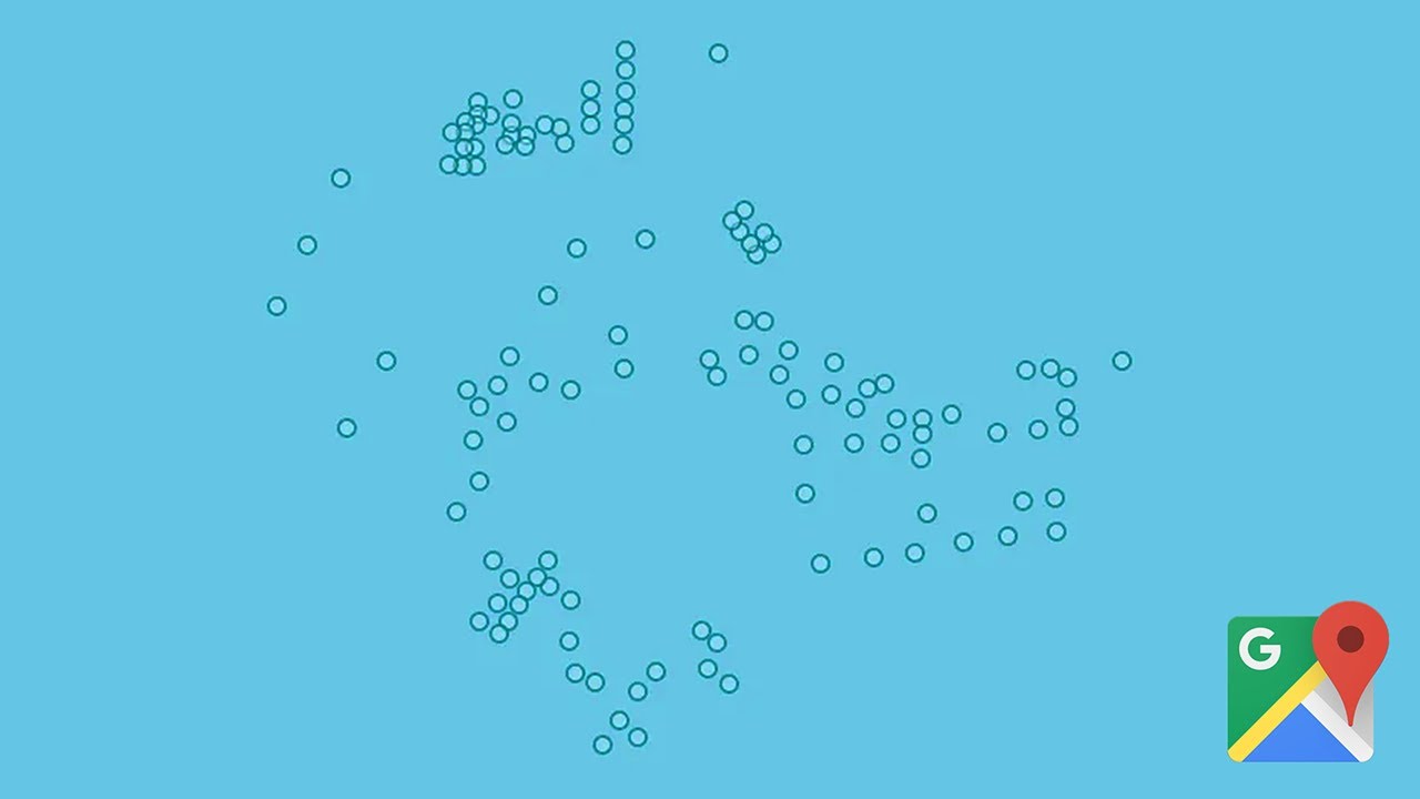
If we put some dot that are all the same size on a globe, then we projected as a mercator map, we would end up with this.
The circles retain their shape but are enlarged the closer you get the poles.
One modern critique is that this distortion perpetuates imperialist attitudes of European domination over the southern hemisphere "The Mercator projection has fostered imperialist attitudes for centuries and created a ethnic bias against the third world."
"Really?"
If you want to see a map that more accurately displays size, you can use the Gall-Peters projection, which is called an equal-area map.
Look at Greenland and Africa.
The size comparison is now accurate.
Much better than the mercator.
but it’s obvious that the country shapes are now stretched.
Here are the dots again so you can see how the projection preserves area while totally distorting shape.
Something happened in the late 60s that would change the whole purpose of mapping and the way we think about projections.
Satellites orbiting our planet started sending location and navigation data to little receiver units all over the world.
This global positioning system wiped out the need for paper maps as a means of navigating both the seas and the sky.
Map projection choices became less about navigational imperatives and more about aesthetics, design, and presentation.
The mercator map, that vital tool of pre-GPS navigation, was shunned by cartographers who now saw it as misleading.
But most web mapping tools like Google maps still use the mercator.
According to Google this is because the Mercator’s ability to preserve shape and angles makes close-up views of cities more accurate -- a 90 degree left turn on the map is a 90degree left turn on the street you’re driving down.
But when trying to display something on a world map, cartographers rarely use the mercator.
Most modern cartographers have settled on a variety of non-rectangular projections that split the difference between totally distorting either size or shape.
In 1998 The National Geographic Society adopted The Winkel tripel projection because of it’s a pleasant balance between size and shape accuracy.
But the fact remains, that there is no one right projection.
cartographers and mathematicians have created a huge library of available projections, each a new perspective on the planet.
The best way to see what the earth really looks like is to look at a globe.
But as long we use flat maps, we will deal with the tradeoffs of projections, Just remember: there’s no right answer.
Up Next
8:30
Understanding Map Projections: Types & Geographic Distortion Explained
@GIScienceRIT
65.3K views•2014-09-02
4:43
Elliptic Curve Cryptography Explained: ECC, ECDSA, ECDH
@PracticalNetworking
28.5K views•2024-10-21
10:44
Fourier Series Introduction: The Big Idea Explained
@DrTrefor
387K views•2021-05-03

27:18
The Prisoner's Dilemma and the Evolution of Cooperation
@veritasium
22.5M views•2023-12-23
Related Study Plans & Knowledge Roadmaps
Structured learning paths in Mathematics
mathematics
Tensor Calculus: Vectors to Riemann Curvature
01Mathematical Foundations: Linear Algebra & Calculus
02Covectors, Dual Spaces, and Tensor Basics
03The Metric Tensor and Index Gymnastics
+ 2 more learning modules
40h5 modules
Explore Roadmap
mathematics
Gödel's Incompleteness: Logic, Proofs & Limits
01Introduction to Formal Systems & Hilbert's Dream
02Set Theory, Cardinality, and Cantor's Diagonal Argument
03Arithmetization and Gödel Numbering
+ 2 more learning modules
14h5 modules
Explore Roadmap
mathematics
Galois Theory: Fields, Groups & Solvability
01Foundations of Abstract Algebra: Groups & Fields
02Polynomials & Field Extensions
03Splitting Fields & Symmetries
+ 2 more learning modules
24h5 modules
Explore Roadmap
mathematics
Non-Euclidean Geometry: Models & Geodesics
01Euclid's Fifth Postulate and the Birth of New Geometries
02Hyperbolic Space and the Poincaré Disk Model
03Geodesics: Defining Straight Lines in Curved Spaces
+ 2 more learning modules
15h5 modules
Explore Roadmap