














![E135: Do hot neighborhoods affect everyone equally? [SJK Audio Edition]](https://i.ytimg.com/vi/VNjQxLbSbg0/maxresdefault.jpg)


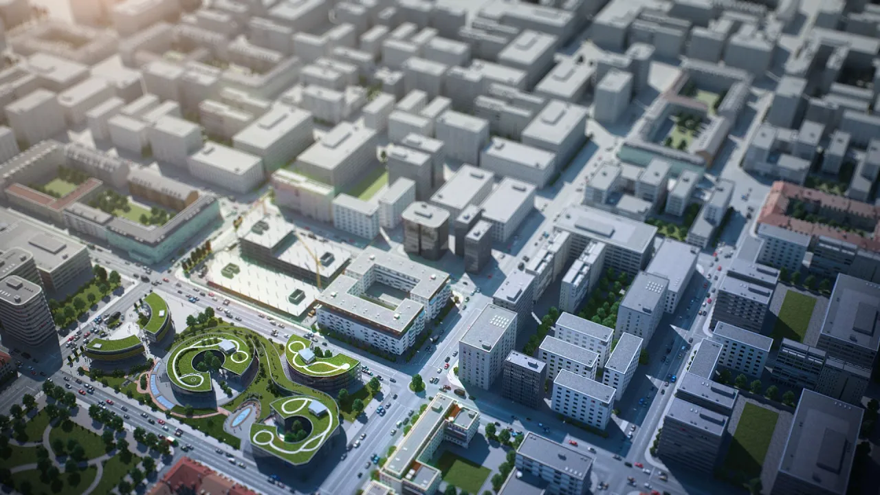




Extreme heat poses a growing threat to cities worldwide, with urban heat islands amplifying temperatures by 2-5°C during the day and up to 22°F at night; however, strategic interventions such as increasing tree canopy cover, implementing green corridors, using reflective surfaces, and harvesting rainwater for urban forests can effectively cool cities and protect vulnerable populations, as demonstrated by Medellin's successful Green Corridors program and desert-adapted greening techniques in Tucson.
Urban Heat Islands: Why Cities Are Hotter and How to Cool Them
Added:The concept of albedo and thermal properties of materials, specifically how different surfaces (like asphalt versus grass) absorb and reflect solar radiation.
The process of evapotranspiration and how vegetation naturally cools the surrounding air through water loss.
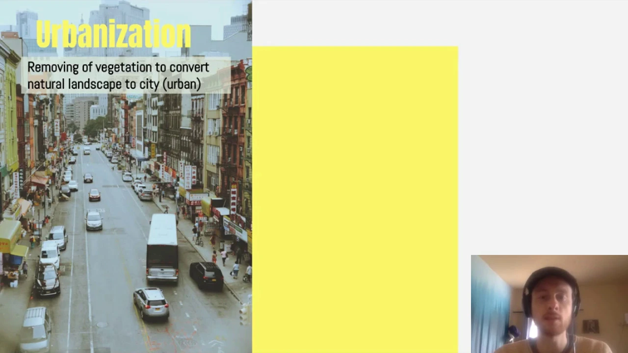
Basic principles of urbanization, including land-use changes and the creation of impervious surfaces.
The fundamentals of microclimates and how localized geographic features can alter weather patterns in specific areas.
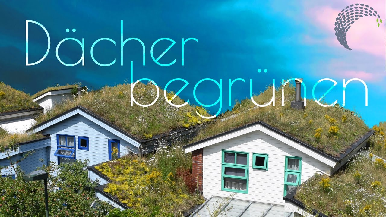
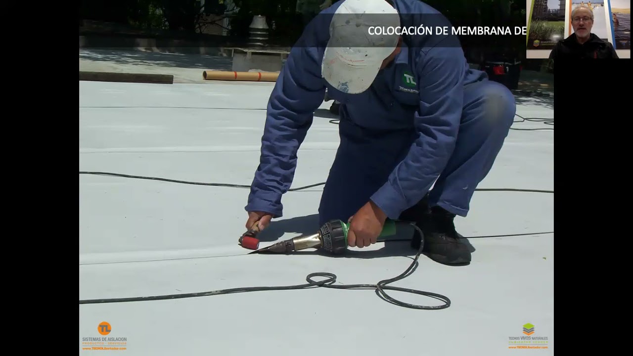
Technical design and engineering of green infrastructure, such as intensive versus extensive green roofs and permeable pavements.
Environmental justice and thermal inequity, exploring why urban heat islands disproportionately affect low-income neighborhoods and marginalized communities.
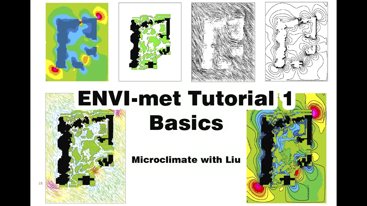
Microclimate simulation and modeling tools (like ENVI-met) used by urban planners to predict and mitigate heat accumulation.
Municipal policy frameworks, building codes, and zoning laws that incentivize or mandate climate-resilient urban design.
415.3K views13.1Klikes25:42Original Release: 2025-06-23
Maiya: Throughout human history, much of the globe has been surprisingly hospitable.
Humans, of course, have lived in all kinds of extreme places, but dense population centers have largely been concentrated in the human climate niche.
That's the planet's Goldilocks zone, with average temperatures between 11 and 15 degrees Celsius.
But as the earth warms, extreme heat is already threatening even our most hospitable regions.
In 2021, the Pacific Northwest was struck by a heat wave so extreme that some scientists believe it wouldn't have been possible without global warming.
And typically hot places like Houston, Texas, and Miami, Florida, may soon become nearly unlivable.
By 2100, these cities are projected to see several months of dangerous heat every year.
But researchers may have a solution.
I'm Maiya May, and I'm fascinated by our dynamic planet, our weather, and our climate.
What began as a career in broadcast meteorology has become a mission to figure out where we are... Woman: Oh, my God!
and where we're going as we leave this long stable climate period and enter the hockey stick era.
So join me on an international investigation as we learn what cities can do to prevent heat deaths.
We'll also learn how extreme heat waves are formed and how a once war-torn city in Colombia is turning the temperature down.
On a hot day, there isn't any shade at all.
I just want to take a whole pano of this.
I've never seen anything like this. Amazing.
[thunder] ♪ So in 2021, right where I'm standing, a neighbor's camera caught the final moments of 36-year-old Ashlyn Maddox, and she was dropped off here by a medical Ride to Care service.
Two hours after that, she went back here, circling the area, disoriented, right before she fell unconscious.
And the high temperature that day was 116 degrees, and this is nine degrees above the previous record.
Broadcaster: We are talking an extremely dangerous heat wave, and the reason for that is the folks in the Pacific Northwest and British Columbia are not used to this type of heat.
Maiya: And Ashlyn died of extreme heat exposure.
She lost consciousness just 50 feet away from her air-conditioned home.
But there's more to the story than extreme heat and heat-related illness.
When Ashlyn died, she was found with a McDonald's bag and a drink that still had ice in it.
That's a clue about the last moments of her life.
And what she did during those moments actually tells us a lot about how to make our cities more livable as temperatures set record after record.
So this is the route that Ashlyn would've walked to go get food at McDonald's, and you can tell that there's just a ton of asphalt, a lot of impermeable surfaces, a lot of traffic, a lot of cars.
We don't know for sure what happened, but if she did walk to that McDonald's, she would've likely been walking for over an hour along a very busy, very hot section of highway with very little shade.
At that time, it was around 116 degrees at the Portland Airport.
But in other parts of town without many trees, Researcher Vivek Shandas recorded a much hotter air temperature of 124 degrees.
We'll get into why that corridor was so much hotter than other places in the city, but first, a bit more about heat as the world warms.
We can identify two categories of cities-- first, the already hot places, like Phoenix, Las Vegas, and Miami.
Rachel White: These places that are already really hot and already sort of getting close to the limits of some of the ecosystems and people living there, we're shifting those temperatures hotter, and so people have to rely even more on things like air conditioning in order to make these places livable.
Maiya: But how does the other category of more temperate places, like Portland, suddenly transform into one of the hottest places on earth?
The answer is a heat dome.
Normally, our weather systems are pushed from west to east by the jet stream, but sometimes the jet stream develops large wavy patterns or meanders, essentially trapping weather systems.
White: What happens when we get a heat wave is that we have one of these high pressure systems that basically stops moving, so it stops propagating towards the east, and it becomes roughly stationary and just stays in one place.
And if it's strong enough and stays in place for long enough, you can get these very extreme temperatures.
Maiya: The trapped high-pressure system acts like a lid, evaporating clouds and bringing clear skies.
Normally, the moisture in the soil and plants moderates heat as it evaporates.
But if the high-pressure system stays stuck in place long enough, this moisture gets depleted and the sun's energy goes directly into heating the air, and temperatures skyrocket.
The 2021 heat wave in the Pacific Northwest was one of the most extreme heat waves across the planet.
There's a lot of scientific disagreement about this at the moment, but some estimates put it at an event that would, on average, happen once every 100,000 years.
It broke the Canadian national record by 4.6 degrees Celsius.
This was absurd.
♪ Maiya: There's growing evidence that climate change is slowing the jet stream and causing more meanders, like the one that caused the 2021 heat dome.
What we do know is that we're seeing more hotter heat waves, especially where most of us live.
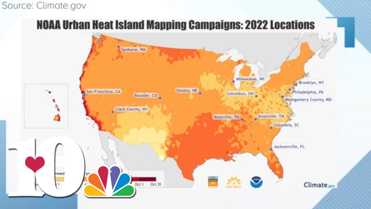
Extreme heat is especially deadly in cities, and that's because of the urban heat island effect.
And this is where our built infrastructure amplifies warming by around two to five degrees during the day and up to 22 degrees Fahrenheit at night.
That means heat trapping aspects of our cities more than double the current level of global warming, making heat waves even more deadly.
♪ Hey, hey.
Hi, Vivek!
Researcher Vivek Shandas has a fascinating perspective on heat, especially in cities, and this gives us insight into what's going wrong and how we can actually cool cities down.
Heat kills more people than any other natural hazard, many other natural hazards combined, in fact.
Where we modeled out the health-related costs associated to extreme heat across the metropolitan areas of the country, and we're finding that there's a eightfold to tenfold increase in the number of heat-related illnesses by 2040.
That's at the kind of global scale.
When we start getting into cities a little bit more, we start seeing these thermal anomalies, these differences in temperature between one neighborhood and another, one street and another.
Back in 2021, Vivek revealed the shocking temperature difference between a wealthy neighborhood and a much lower income area in Portland, using a weather instrument he and his team designed.
Vivek: Well, we found a temperature difference of about 25 degrees, which is the largest air temperature difference I had ever recorded in this city.
This is the intersection that recorded that 124-degree temperature that was the hottest temperature recorded during last year's heat dome.
There aren't a lot of trees here, so there's not a lot of shade in this neighborhood, and you got a lot of pavement.
Let's actually compare this neighborhood to the coolest neighborhood. [snap] Here it is-- the coolest neighborhood, with an air temperature of 99 degrees.
There's tons of trees in this neighborhood, and it's surrounded by forests.
Vivek Shandas: So cities are doing all kinds of things to try to return the temperatures down.
You can do a lot of engineering, and you'll eventually land on the fact that trees are probably your best solution.
It really comes down to that.
♪ Maiya: It doesn't take a scientist to know that trees have a dramatic cooling effect, but the mechanics of how this works are pretty fascinating.
First, and most obvious, is shade.
Trees block solar radiation from reaching the ground, so heat isn't absorbed by sidewalks and roadways.
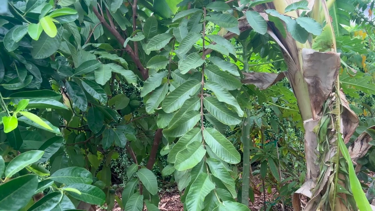
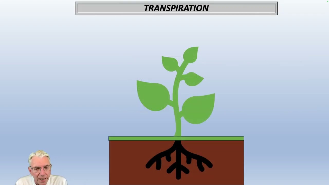
Second is transpiration.
This is where water is taken up by tree roots, eventually evaporating through the leaves.
Energy used in this chemical reaction actually consumes heat energy that would otherwise raise air temperatures.
Transpiration can reduce heat by up to eight degrees Celsius.
♪ Back east of Portland, Ashlyn can be seen walking east on her neighbor's security camera in the direction of McDonald's.
We'll never know for sure if she walked there to get the meal she was found with, but if she did, it would've been on this route.
The lack of trees in this area pushed temperatures from an uncomfortable 99 degrees to somewhere closer to the 124 degrees Vivek recorded in a similar part of town.
So with the projections of increasing fatalities from heat in the future and the proven cooling effect of trees, I assumed that cities across the U.S.
would be actively increasing tree cover, especially in vulnerable, low-income communities.
Vivek: Overall, we're seeing a consistent decline of trees in our cities... in a world that's continuing to heat up is a scary trend.
Maiya: And Vivek and others found that the neighborhoods with the fewest trees are almost always lower income neighborhoods and communities of color.
Vivek: You would think that with the clear scientific evidence around the loss of tree canopy occurring in not only Portland but around the country, that we would be bringing a lot more trees into those hot neighborhoods.
We studied 33 cities across the United States where we had really defensible scientific data, and we were looking at, Did trees--increase and did green space increase in those areas, or did we see a decline?
And in the hottest cities and in the hottest neighborhoods, we found a consistent decline of tree canopy.
Those are the places that are actually losing the most trees in the region.
They're losing trees?
They're losing trees in the hottest places.
We have all the information... Yeah.
but we're just not-- the U.S. isn't getting it right.
Are there any other cities outside of the U.S.
that we can look to as an example of how to do this right?
One place that I've been thinking about a lot is Medellin in Colombia, and that's one of these places where they have attempted to reorganize transportation networks, housing patterns in service to keeping the tree canopy intact.
How is a city continuing to grow but yet maintaining large portions of their tree canopy and keeping those old, large trees that provide all of these benefits in place?
Maiya: So we invited Vivek, one of the world's leading authorities on urban heat, to go to Colombia to try to figure this out.
The city claims that their Green Corridors program has cooled their average temperature by two degrees Celsius, but is that true?
And if so, how did a city mostly known for drug cartels make this happen?
Today, Medellin has transformed into a vibrant city now known globally for its innovative urban development, culture, and breathtaking landscapes.
Part of the city's transformation has been their Green Corridors program, started in 2016 to address air pollution.
The program connects green spaces in the city with tree-lined streets and shaded avenues, a strategy we mostly fail to implement in the U.S.
[music] All right, so we're here at City Hall, and behind me is a green wall, and this is one of the many innovations that the city of Medellin has implemented to help cool air temperatures and to improve air quality.
Everywhere we went, we collected temperature data.
Pequeño. Sí.
Maiya: We drove all over the city, checking out their parks, transportation corridors, and creative greening of public spaces.
Vivek's done this work all over the world to study urban heat, and he seemed immediately impressed.
I would walk to work in this.
Oh, yeah.
Like, Oh, my goodness!
This would be a great place to get around.
What's really cool is they're able to integrate multimodal transportation with green space in the same street segment.
Shaded bike lane, shaded walkway, and then fast bus and car route.
Maiya: The oldest palm tree in Medellin.
Vivek: Really?
It's right here.
Not a lot of shade, so I understand why there aren't more of those here.
[music] Maiya: As we moved throughout the city, it was clear that Medellin had invested a lot of time and money in their green corridors.
But we wanted to see what this investment looked like in Medellin's poorest communities.
♪ Vivek: So I'm gonna be really looking for green space-- presence, absence--in these lower income neighborhoods.
Wow. Look at this.
Wow!
Vivek: Totally different scene than what we had seen before.
Maiya: Very different.
Yeah.
Very different.
In an area like this, what do you expect to see on the temperature gauge?
What I'm seeing around me is a lot of brick, a lot of cinder block, a lot of concrete and asphalt, and so what we'd see here is a built environment that essentially traps the heat and holds on to it.
So this area is actually going to be, in some ways, much warmer than the lowland areas.
The priority here is clearly housing-- like, people need places to live-- and so green space becomes then, in some ways, a luxury.
Maiya: But just on the other side of the bridge, the city has invested in revitalizing a green space.
Squeezed between dense development was a terrace garden with maintained plants, trees, and shade.
[music] It's a lot.
And It's very cool in here, too.
It's cool. You feel it, right?
It's like just that little drop.
We're already in a valley.
It's like the water, the trees, the breeze.
The breeze is very nice.
Vivek: That's really nice.
Maiya: Nearby, we visited another pocket park, and we began to understand that the city's greening every available space, even in dense, unplanned, low-income neighborhoods.
I just want to take a whole pano of this.
I've never seen anything like this.
Amazing, amazing.
I keep seeing more and more of these gardeners that are here actively working on this space, and I have not seen anything like this in a public space in a low-income neighborhood, with this level of concerted effort in my life.
It's really, really a phenomenal moment.
We started to understand just how aggressive Medellin is with adding green space, and it definitely feels like it's working, but the only way to know for sure is to measure it.
Fortunately, this is kind of Vivek's thing, so we met up with a fellow heat researcher and Medellin local, Carlos Cadena, to compare temperatures along two contrasting routes.
We'll hop on one car along one of the green corridors, and then at the same time, we'll do a non-green corridor in one of the other cars, and we'll take some measurements.
[indistinct chatter] Vivek: Let's go.
You can definitely start seeing the difference.
In a couple of blocks, you'll start seeing much more green.
There is absolutely no trees here.
This is completely just buildings and concrete.
This is definitely one of the most congested, lively areas with the least amount of tree cover, for sure.
Wow! There is so many people.
This kind of reminds me of New York.
And on a hot day, there isn't any shade at all.
Maiya: Back in Portland with Vivek, we looked at our data to learn just how well the city's interventions were working.
Joey: Both of the vehicles started down here in the southern end of the map, and it looks like they took off different directions.
Maiya: Even on the relatively mild day that we drove those routes, what we saw was a roughly 7- to 8-degree difference between the greener, cooler route that Vivek drove and the hotter one that I drove.
And I was definitely along this road here.
Vivek: Mm-hmm. Lots of red there.
Maiya: And it looks like the hottest temperature, so what is that, a 7- to 8-degree difference?
Vivek: Yep, yep. That's right.
Joey: I zoomed in here.
This is actually right along here in another one of those hottest sections, and, yeah, you can see a lot of people going out.
I don't see any trees in all four directions.
Maiya: Medellin still has a long way to go to be sure, but it's inspiring to see that they're actually increasing tree cover and that it's working.
So why aren't we?
Well, Medellin has one clear advantage when it comes to growing trees--rain.
Trees here grow faster with less effort than drier places.
Medellin gets over 60 inches of rain per year, but some of the hottest parts of the U.S. are also the driest.
These areas in the Southwest are home to over 14 million people and receive less than 10 inches of rain per year.
Phoenix might be the most extreme example, with 55 days over 110 degrees and 645 heat-related deaths in 2023 alone.
So I wanted to find out what heat adaptation strategies are effective in such a dry place.
We visited the city in 2020 during the 110-degree heat wave to see what they were doing to cope.
Man: No large city faces higher summer temperatures than Phoenix.
As such, we're trying to think of Phoenix as an innovation laboratory.
The ideas for coping with extreme heat may very well come from here out of necessity.
We need to find the solutions before other cities as we head into a warmer future.
Maiya: One relatively simple solution is to use more reflective surfaces, like white roofs, which can reflect up to 80% of sunlight.
This not only cuts energy bills by keeping buildings cooler, but this also redirects heat away from street level.
Another reflective technology where Phoenix really is a laboratory is reflective pavement.
David took us to check out the city's pilot project.
So we're here in a residential neighborhood near downtown Phoenix, where some of this cool pavement has just been applied.
The sun's been up for only three hours now.
Traditional pavement is about 125 degrees Fahrenheit.
Plenty warm already.
We'll come over to this CoolSeal pavement, and it is 121.
That's gonna grow over the day to be upwards of 15 degrees Fahrenheit by the time we get to sunset.
Maiya: But researchers discovered a bit of a catch during an experiment while using a robot called MaRTy.
Ariane Middel: MaRTy measures mean radiant temperature and mean radiant temperature is the heat load that a body receives when it's outdoors.
Maiya: They used MaRTy to measure the effects of the city's reflective pavement.
It turns out that heat reflected by the new pavement bounces and warms the atmosphere at around the same height as humans.
So while it can help in certain situations, it can also hurt in others.
Now we're getting hit not only by the sunlight coming in from above, but also from the sunlight being reflected off the pavement, which could actually make the conditions worse for our bodies.
Maiya: Arianne showed us one more shocking set of measurements that helps to confirm the importance of urban forests.
Arianne: The mean radiant temperature here, what we just measured at 100, close to 170 degrees Fahrenheit.
So that's the temperature your body experiences, the heat load your body experiences.
Maiya: We then moved from the exposed asphalt to a greener part of town.
So here we have an air temperature of 40 degrees Celsius, which is about 104 degrees Fahrenheit.
So it's much cooler here in the shade with all the vegetation in the surroundings.
Maiya: That's around a 66-degree less heat load than MaRTy measured on the pavement in the full sun.
This massive difference helps us to understand what Ashlyn would've experienced back in Portland before she collapsed.
Vivek: Trees have to be a part of the mix.
There are a lot of trees that are drought-resistant.
I've worked in the Middle East in some of the hottest environments in the world, and seen cities bringing trees in that do really well in these very arid environments.
Maiya: But is it worth the resources to grow trees in the dry desert?
Just a couple of hours down the road in Tucson, Brad Lancaster may have the answer.
Welcome!
How are you doing?
Good!
Maiya.
Great to meet you.
Maiya: Good to meet you.
Yeah!
This is amazing.
Oh, thanks.
This is, I mean, you've really cultivated this forest in a dry place.
Can you show me?
Sure. Let's start out in the street, see what we've done out here.
Maiya: We just got done talking about trees and all the benefits, why they're important, all the shade they provide, they help with improving the air quality as well.
And I think some people, especially people who live in the Southwest, may watch that and feel like, "Oh, that's not really realistic for us "because we live in a dry place that has water issues."
But we're seeing here that this is actually a possibility.
Brad: Yeah, this works everywhere.
So let me just show you over here.
The average neighborhood street in Tucson, like this one right here, drains over a million gallons of rainfall per mile per year.
And if we direct that water to plantings as opposed to storm drain, that is more than enough water to create and freely irrigate a continuous canopy of native food-bearing vegetation-- trees, shrubs, and understory.
Maiya: That's amazing.
Brad: So there used to be a driveway here, and water, when it flows, will flow along the street gutter.
And then since water moves downhill with gravity, it moves into here, and this is the basin.
And this whole basin, all the way back there, fills up with water.
It's up to two feet deep back there.
And the key thing, too, is here, we're selecting native species, the plants that are native to this area, so they're the best adapted to our climate, soil, and wildlife.
And by selecting the natives already adapted to here, they cannot just survive but thrive on rainwater and street runoff alone.
Maiya: Ha ha! I love that!
From Medellin's green corridors to Brad's permaculture forest in the desert, I've learned that there's so much that we can do to combat urban heat even on our increasingly hot planet, and that trees are a crucial part of the solution, no matter where you live.
In the next episode, we'll return to the hot, arid Southwest to find out how climate change creates dangerous flooding while the region's water crisis grows deeper.
As the climate warms, a little known law of physics spreads this phenomenon across the U.S. and the globe.
So join us as we learn what the future of water and food will look like as the world warms.
[music] ♪ You can watch the rest of Weathered: Earth's Extremes on the PBS app.
All six episodes are available to stream now.
♪
Up Next

2:59
Heatwave in Western Europe: Grid, Health, and Crop Impacts
@markets
38.5K views•2025-06-30

15:54
Life in Biosphere 2: Sustainable Ecosystems & Human Survival
@TED
334.9K views•2009-06-16

14:30
Microplastics Everywhere: How Plastic Impacts Our Lives
@TEDx
100.9K views•2018-05-08

10:28
Ice Stupa Artificial Glaciers: Solving Ladakh's Water Crisis
@SonamWangchuk66
3.2M views•2015-05-03
Related Study Plans & Knowledge Roadmaps
Structured learning paths in Environmental Science
environmental-science
Ocean Noise: Cetacean Impacts & Mitigation
01Fundamentals of Underwater Acoustics
02Marine Mammal Bioacoustics
03Anthropogenic Noise: Shipping & Seismic Surveying
+ 2 more learning modules
16h5 modules
Explore Roadmap
environmental-science
Road Ecology: Corridors, Overpasses & Fencing
01Foundations of Habitat Fragmentation and Carnivore Ecology
02The Road Barrier: Ecological Impacts of Transport Infrastructure
03Principles of Ecological Corridors and Connectivity Mapping
+ 3 more learning modules
14h6 modules
Explore Roadmap
environmental-science
Ocean Acidification: Kelp Buffering & Shellfish
01Fundamentals of Ocean Chemistry & pH
02Chemical Pathways of Coastal Acidification
03Bivalve Physiology & Calcification Under Stress
+ 2 more learning modules
18h5 modules
Explore Roadmap
environmental-science
Ice Stupas: Glacial Retreat & Water Security
01Foundations of Glaciology & Mountain Hydrology
02Climate Change and Glacial Retreat Dynamics
03The Science of Ice Stupas & Artificial Glaciers
+ 2 more learning modules
14h5 modules
Explore Roadmap