The Indus Valley Civilization demonstrated remarkable urban planning through systematic city layouts with distinct citadels for ruling classes and lower towns for common people, along with an advanced drainage system featuring covered brick and stone drains connected to street drains, reflecting sophisticated engineering and emphasis on public health.
Indus Valley Civilization: Town Planning and Drainage System
Added:Deep Dive
Basic geographical and historical context of the Indus Valley Civilization, including its location in South Asia and its timeframe (c. 3300–1300 BCE).

Indus Valley Civilization || Ancient India తెలుగులో #history #indusvalleycivilization #telugu
233.2K
The Indus Valley Civilization (c. 3300-1300 BCE) was one of humanity's earliest urban civilizations, discovered in 1921-22 in present-day Pakistan and northwest India, featuring sophisticated urban planning with grid layouts, advanced drainage systems, standardized baked brick construction, and unique features like the Great Bath, while lacking palaces, temples, or evidence of centralized kingship unlike contemporary Egyptian and Mesopotamian civilizations.
Click to watch →

सिंधु घाटी सभ्यता Indus Valley Civilization part 01 /@HanumanJiIASClasses
490.9K
The Indus Valley Civilization, one of the world's earliest urban civilizations, flourished approximately 4500 years ago (2500-1500 BCE). Indian history is divided into three periods: Prehistoric (unknown to 2500 BCE), Ancient Historical (2500-600 BCE), and Historical (600 BCE to present). The civilization spread across 1.3 million square kilometers, from Chenab River in the north to Godavari River in the south, and from Hindon River in the east to Sukkur in the west. The civilization is divided into three phases: Pre-Harappan (3000-2600 BCE, Copper Stone Age), Mature Harappan (2600-1700 BCE), and Late Harappan (1700-1500 BCE). Dating remains debated: John Marshall proposed 3200-2500 BCE, Ernest Mackay suggested 2800-2500 BCE, while C.J. Gadd proposed 2500-1700 BCE. The most accepted date is 2500-1500 BCE, based on Rigvedic evidence of Indra's conquest and Mesopotamian trade records showing 'Meluhha' references from 2400-2500 BCE. Radiocarbon dating (the most accepted method) indicates 2325-1750 BCE.
Click to watch →

Complete Ancient History in One Shot | Ancient History | UPPCS 2023 Prelims | @UPPSC Wallah
109.5K
The Indus Valley Civilization (c. 2600-1900 BCE) was one of the world's earliest urban civilizations. Key features include: (1) Geographic location - developed along the Indus River and its tributaries in present-day Pakistan and northwest India; (2) Major cities - Mohenjo-daro, Harappa, Dholavira, Kalibangan, Lothal, and Rakhigarhi; (3) Urban planning - cities were built on a grid pattern with wide streets and sophisticated drainage systems; (4) Standardized bricks - used throughout the civilization; (5) Writing system - undeciphered script found on seals and tablets; (6) Trade networks - extensive trade with Mesopotamia and other regions; (7) Decline - reasons for decline remain debated, possibly due to climate change, river course changes, or invasions.
Click to watch →

The LOST Epoch: Unexplained Gaps in Human History | History for Sleep
363.6K
Around 3300 BCE, while Mesopotamia and Egypt were just figuring out how to build cities, a civilization emerged in the Indus River Valley that was in almost every measurable way more advanced than both. The Harappan civilization had better urban planning, more sophisticated sanitation systems, standardized weights and measures, evidence of long-distance trade networks stretching from Mesopotamia to Central Asia, and around 1300 BCE, it simply vanished—not slowly, not with dramatic collapse, just faded away into historical silence. For a civilization that lasted 2,000 years and covered an area larger than ancient Egypt and Mesopotamia combined, we know almost nothing about how they actually lived. We have no idea what they called themselves, how their government worked, what gods they worshipped, or what stories they told their children. We can't read their writing, we don't know their language, and we don't know why they disappeared.
Click to watch →

L5 - प्राचीन भारतीय इतिहास | Ancient History | Complete Lucent GK | Shubham Gupta
276.5K
The Indus Valley Civilization (2420-1750 BCE) was one of the world's oldest urban civilizations, located in the Indus River basin. It was a Bronze Age civilization characterized by urban planning, standardized brick sizes, and sophisticated drainage systems. The civilization was inhabited by Dravidian and Mediterranean peoples. It was initially called the Harappan Civilization but was renamed Indus Valley Civilization as more sites were discovered. The civilization had extensive trade networks with Mesopotamia and Egypt, and was referred to as 'Meluhha' in Mesopotamian records. The geographic extent stretched from Mandhawa in Jammu & Kashmir (north) to Daimabad in Maharashtra (south), Alamgirpur in Uttar Pradesh (east), and Sutkagen Dor in Baluchistan, Pakistan (west).
Click to watch →
Deep Dive
The concept of the Bronze Age transition, detailing how agricultural villages evolved into complex, populated urban centers.

L'âge du BRONZE n'a pas révélé tous ses SECRETS
311.9K
The Bronze Age represents a period of transition characterized by both continuity and acceleration. Continuity includes the continuation and intensification of Neolithic processes: new domesticated plant and animal species, territorial exploitation, and raw material extraction. Acceleration includes increased social inequalities, the emergence of strong powers, and technical progress across all domains. This period also saw the first 'globalization' of commercial and technological networks, establishing patterns that would continue into subsequent historical periods.
Click to watch →

Class 9 Social Science | Chapter 1 : Moving Forward From The Stone Age - Part 2 | Xylem Class 9
58.7K
The Bronze Age began when humans discovered bronze, an alloy made by combining copper with tin. Bronze is harder and more durable than pure copper, making it superior for tools and weapons. This period marked the introduction of urban life (urbanization) in human history. The Bronze Age saw the development of planned cities with wide streets, public buildings, drainage systems, and organized settlements. The major ancient civilizations that emerged during the Bronze Age include Egyptian Civilization, Mesopotamian Civilization, Indus Valley Civilization (Harappan Civilization), and Chinese Civilization. The Harappan Civilization is considered the first urbanization in Indian history, featuring well-planned cities like Harappa and Mohenjodaro with advanced infrastructure.
Click to watch →

Class 9 History | Onam Exam | Complete Revision | Exam Winner
4.6K
The Neolithic Age (New Stone Age) marked the Agricultural Revolution: (1) Domestication of animals began, (2) Agriculture was introduced, (3) Settled life emerged, (4) Population growth occurred. Gordon Childe identified this as a radical transformation. The Fertile Crescent became the birthplace of agriculture. The Bronze Age marked urbanization and civilization: (1) Cities developed with planned streets and public buildings, (2) Non-agricultural activities emerged, (3) Harappan Civilization (Indus Valley) represents India's first urbanization. Key features include drainage systems, granaries, and trade. This period marked humanity's transition from rural to urban living.
Click to watch →
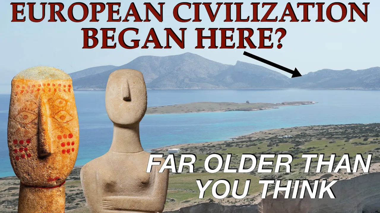
Where Did European Civilization Begin?
128.3K
By the late 4th millennium BC, as the Neolithic transitioned into the early Bronze Age with the arrival of metal working on the islands, small fishing and agricultural communities with wide-reaching links across the sea began to develop a distinct culture of their own.
Click to watch →
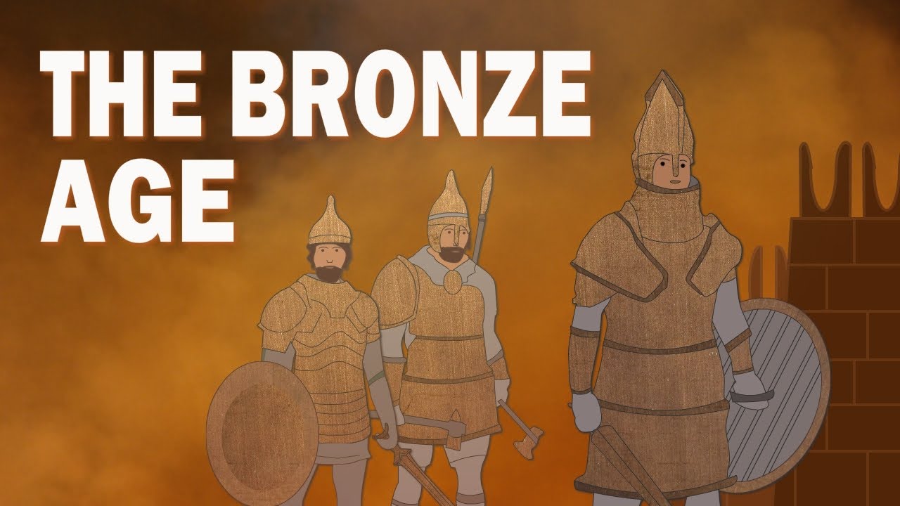
The Bronze Age | What Was the Bronze Age | The End of the Bronze Age
178K
The Bronze Age transformed human society through interconnected innovations in agriculture, urban planning, and culture. Bronze tools revolutionized farming: axes cleared forests for cultivation, bronze sickles harvested crops faster, and irrigation systems dramatically increased agricultural efficiency. This productivity surge supported population growth, causing small villages to expand into metallurgical provinces. New cities emerged while older towns grew in complexity, featuring palaces, temples, and monumental architecture. The potter's wheel enabled mass production of ceramics, while woven wool cloth replaced animal skins. Writing systems developed independently in Mesopotamia (cuneiform) and Egypt (hieroglyphics), enabling record-keeping and administration. Shipbuilding advances facilitated long-distance trade across seas and rivers. Architecturally, megalithic structures evolved from single standing stones (menhirs) to complex arrangements like dolmens and cromlechs, with Stonehenge representing the pinnacle of Bronze Age engineering.
Click to watch →
Deep Dive
Fundamental understanding of archaeological terms and methods, such as 'excavation', 'material culture', and the significance of major sites like Harappa and Mohenjo-daro.
सिंधु घाटी सभ्यता Indus Valley Civilization part 01 /@HanumanJiIASClasses
490.9K
Harappa was first mentioned by Charles Masson in 1826, but received little attention. In 1853-1856, Cunningham discovered some artifacts but the story stalled. In 1921, under Director-General Sir John Marshall, Daya Ram Sahni excavated Harappa and discovered evidence of a new civilization. In 1946, Mortimer Wheeler excavated Harappa and discovered the citadel with its 13.5-meter high walls. Harappa's citadel measured 415 meters north-south and 195 meters east-west. North of the citadel, two rows of houses were built: the first row had 8 houses, the second row had 7 houses, and the southern row had 8 houses. Each house measured 7.5 meters by 7.5 meters. No wells were found at Harappa (unlike Mohenjo-daro). The site had 18 granaries with storage pits for grain processing, and evidence of wheat and barley cultivation. Mohenjo-daro (meaning 'Mound of the Dead' in Sindhi) was the most important Indus Valley site, also called the 'Garden of Indus Civilization.' Key discoveries include: (1) Great Bath - 54.4m × 33m with a central pool (11.8m × 7.1m, 2.4m deep), built with gypsum mortar and plastered with tar, (2) Granary - 45.72m × 22.86m for storing taxes and grain, (3) Priest's residence - 70.1m × 2.77m with large rooms, (4) Assembly Hall - 27m × 27m square building with 20 pillars for public gatherings. Artifacts include terracotta figurines, a bull's horn, a chariot, a priest's stone statue, and evidence of malaria and cholera.
Click to watch →

SOC401_Lecture01
15.6K
Archaeology studies lives of people from the past by examining material culture left behind, including physical things like clothes, tools, jewelry, weapons, seeds, physical infrastructure of cities and towns, and places of worship. Archaeologists excavate sites to find these objects, with Pakistan having tremendous archaeological treasures like Harappa, Mohenjo-Daro, and Taxila (Gandhara civilization). Archaeologists use material objects to make assessments regarding non-material aspects of human behavior, including the level of understanding and types of beliefs that different types of people used to hold.
Click to watch →

LUCENT'S Objective Class | Complete History Class | Day-1 | BY VIKASH SIR & TEAM #lucentobjectivegk
2.5K
Harappa and Mohenjo-daro are the two most important Indus Valley Civilization sites. Harappa (Punjab, Pakistan) and Mohenjo-daro (Sindh, Pakistan) yielded the most archaeological evidence. The recommended learning methodology is: first understand concepts through theory classes, then solve objective questions from the Lucent book. The book contains approximately 75+ questions from Indus Valley Civilization.
Click to watch →

12TH HISTORY MVVI OBJECTIVE QUESTINOS ll CHAPTER 01 ईंटे, मनके तथा अस्थियाँ /हड़प्पा सभ्यता ll
235
Harappa was excavated by Daya Ram Sahni in 1921. The name 'Mohenjo-daro' means 'Mound of the Dead' in Sindhi language, referring to the burial mounds found at the site.
Click to watch →

सिंधु घाटी सभ्यता | Indus valley Civilization | Sindhu Sabhyata | Hadappa Sabhyata | हड़प्पा सभ्यता
1.3K
Harappa was excavated in 1921 by Daya Ram Sahni and is located on the banks of the Ravi River in present-day Pakistan. Key artifacts include laborer's housing, wooden coffin, and Cemetery RH 37. Mohenjo-daro was excavated in 1922 by Rakhaldas Bandyopadhyay and is located on the banks of the Indus River in Sindh province, Pakistan. The name means 'Mound of the Dead'. Key artifacts include priest's housing, Great Bath, terracotta dancing girl figurine, the widest road (10 meters), well, and Adishiva (Shiva) statue. The dancing girl figurine represents the artistic achievements of the civilization.
Click to watch →
Deep Dive
Basic human hygiene and civil engineering requirements, specifically why access to clean water and waste disposal is critical for large-scale settlements.

¿DE DONDE NACIÓ EL BAÑO? Arquitectura de los baños
29.5K
The ability to solve sanitation problems was the primary factor that enabled humans to establish large urban settlements. Without proper waste management, concentrated populations would face severe health consequences including disease and death. This fundamental infrastructure challenge represents the critical first problem to address when large numbers of people gather in one location.
Click to watch →

The forgotten courage of engineering | Guru Madhavan | TEDxLogan Circle
250.5K
Sanitation represents one of humanity's greatest engineering achievements, comparable to religious or cultural landmarks. The Cloaca Maxima, built over 2,000 years ago in Rome, drained a swamp that created the Roman Forum—the center of civic life. Sanitation enables birth and rebirth, allowing gardens to bloom, air conditioning to function, and toilets to flush properly. It separates excreta from elixir (clean water) and ensures they remain separate to prevent contamination. This miracle work is as glorious as any cathedral, yet remains largely unseen and uncelebrated despite its critical importance to human welfare.
Click to watch →

The History of Life, I guess
286.1K
Before modern sanitation, waste disposal involved buckets or open defecation, with waste dumped into rivers used for drinking water. This practice caused millions of deaths from dysentery before societies realized the danger. Modern sewer systems and water treatment plants have become essential infrastructure in major cities worldwide. Without these systems, feeding a population of 8 billion people would be nearly impossible, as food spoilage would increase dramatically and waterborne diseases would spread uncontrollably.
Click to watch →

Water Sanitation Hygiene
25.3K
According to WHO and UNICEF data from 2017, approximately 2.1 billion people lack access to safely managed drinking water services, while 4.5 billion lack safely managed sanitation services. Unsafe hygiene practices compound health effects, causing over 340,000 child deaths annually from diarrheal diseases—equivalent to 800 deaths per day. WASH (Water, Sanitation, and Hygiene) represents an interconnected sector where each component depends on the others: without toilets, water sources contaminate; without clean water, hygiene practices fail. Improved water sources include protected boreholes and municipal supplies, while improved sanitation encompasses connections to sewers and ventilated pit latrines. Global coverage has improved since 1990, but significant disparities persist between rural and urban areas, with Oceania and sub-Saharan Africa facing the largest gaps. Most of North America, Europe, Australia, and parts of South America have achieved improved sanitation, while sub-Saharan Africa and South Asia lag significantly.
Click to watch →

New Alliance | Post-Apocolyptic City Builder Surviving Raids & MORE | Surviving the Aftermath DLC
77.4K
Proper sanitation infrastructure including outhouses and showers prevents disease outbreaks and maintains population health. Multiple sanitation facilities should be distributed across the settlement to prevent cross-contamination and ensure all residents have access to hygiene facilities.
Click to watch →
Prerequisite Knowledge
- Concept 01Basic geographical and historical context of the Indus Valley Civilization, including its location in South Asia and its timeframe (c. 3300–1300 BCE).
- Concept 02The concept of the Bronze Age transition, detailing how agricultural villages evolved into complex, populated urban centers.
- Concept 03Fundamental understanding of archaeological terms and methods, such as 'excavation', 'material culture', and the significance of major sites like Harappa and Mohenjo-daro.
- Concept 04Basic human hygiene and civil engineering requirements, specifically why access to clean water and waste disposal is critical for large-scale settlements.
Subsequent Learning
- Step 01The social and political structure of Harappan society, exploring whether their highly organized cities imply a strong centralized government or an egalitarian system.
- Step 02A comparative study of Harappan urban planning with contemporary ancient civilizations, such as Mesopotamia and Ancient Egypt.
- Step 03The trade networks, standardization of weights and measures, and economic systems that thrived within these planned cities.
- Step 04Theories regarding the decline and abandonment of the Indus Valley cities, focusing on environmental changes, tectonic shifts, and the drying up of major river systems.
- Step 05The legacy of Harappan water management and how their ancient drainage principles relate to modern civil engineering and sustainable urban planning.
Urban Design
Sanitation
Urban Design
0:00Playing Section
- 1
Cities featured sturdy burnt brick buildings and granaries.
- 2
Towns split into elevated Citadel and lower residential areas.
- 3
Planning supported around 40,000 inhabitants efficiently.
Decentralized Planning and Social Disparity in Harappan Sanitation
While traditional narratives celebrate the Indus Valley Civilization for its uniform, highly advanced, and egalitarian sanitation and grid-based town planning, contemporary archaeological critiques offer a more nuanced perspective. Scholars increasingly challenge the idea of a highly centralized authority enforcing uniform codes, pointing instead to significant regional variations and organic, decentralized growth across different sites. Furthermore, critical analyses of skeletal remains and household-level water access suggest that these advanced drainage systems were not universally shared. Significant socio-economic stratification existed, meaning elite neighborhoods enjoyed sophisticated private wells and drains, while poorer quarters lacked these amenities and suffered from higher rates of waterborne diseases and physical stress. This counterpoint reframes Harappan town planning not as a utopian feat of universal civic engineering, but as a system of exclusion that reflected and reinforced social hierarchy.
Deep Dive
The social and political structure of Harappan society, exploring whether their highly organized cities imply a strong centralized government or an egalitarian system.

Class 12 History Chapter - 1 ईंटे मनके और अस्थियाँ 2026-27 Live class
2.8K
There is no consensus on Harappan political structure. Three main theories exist: (1) No central ruler - all people were equal, (2) Multiple rulers - different cities had their own rulers, (3) Single ruler - one ruler governed the entire civilization. Evidence of uniformity in artifacts (same size bricks, seals, weights across sites) suggests possible central control, but no definitive proof exists.
Click to watch →
ईंटें, मनके तथा अस्थियाँ Class 12 History | हड़प्पा सभ्यता Chapter 1 | Arjun Batch
240
Harappan civilization had a centralized political structure, evidenced by the uniformity of artifacts across all cities. The civilization had large planned cities with granaries, public baths, and organized labor systems, which required central authority. Two main reasons support this: (1) The uniformity of artifacts (weights, seals, beads) across all Harappan cities indicates a unified governing system. (2) The construction of large buildings and infrastructure required organized labor management, which could only be achieved through centralized authority.
Click to watch →

हड़प्पा सभ्यता: जब प्राचीन भारत दुनिया की सबसे उन्नत नगरीय संस्कृति था | Harappan Civilization
95.9K
Harappan society was organized with artisans, traders, farmers, and laborers following an unseen authority. Burial practices (pits with some grave goods) suggest belief in afterlife, but unlike Egyptian pyramids, precious items were rarely buried. Social stratification existed—luxury items like faience vessels appeared only in major cities. Religious symbols include Proto-Shiva (yoga figure surrounded by animals), Mother Goddesses, and nature worship (Peepal trees, bull, unicorn). Fire altars suggest fire worship. The greatest mystery is political structure: uniform bricks and weights across vast distances required central authority, yet no palaces or temples were found. NCERT suggests a unified state theory, while others propose multiple rulers or merchant oligarchies.
Click to watch →

Ancient History | UPPSC 2024 Prelims | Ancient History Quick Revision for UPPSC 2024 | UPPSC Wallah
21.4K
Harappan civilization's political structure remains debated among historians. Stuart Piggott proposed 'twin capitals of a great empire' (Harappa and Mohenjodaro). A.L. Basham suggested 'theocratic' (religious) government, while R.S. Sharma proposed 'merchant class' or 'trader's' government. Society was matrilineal with women holding important positions, as evidenced by their participation in economic production. Cultural activities included bull fighting, dice games, chess-like games, dance, and music. The civilization practiced nature worship of mother goddess and Pashupati (proto-Shiva), with no evidence of temples found.
Click to watch →

Class 12 NCERT History Chapter 1 ईंटें मनके तथा अस्थियाँ (हड़प्पा सभ्यता) (Part 4) Summary in Hindi
9.9K
This section covers Harappan political structure theories: (1) Single ruler theory - one ruler controlled all sites; (2) Multiple rulers theory - different rulers at different sites; (3) No ruler theory - society was egalitarian; (4) Evidence for single ruler includes uniformity in weights, bricks, and artifacts; (5) Evidence for multiple rulers includes regional variations; (6) Standardization evidence supports single ruler theory; (7) The civilization showed remarkable social organization with complex decision-making processes.
Click to watch →
Deep Dive
A comparative study of Harappan urban planning with contemporary ancient civilizations, such as Mesopotamia and Ancient Egypt.

EP1 | Mesopotâmia e Egito – A História da Arquitetura
136.9K
Architecture originated in Mesopotamia and Ancient Egypt during the Neolithic Revolution when humans transitioned from nomadic lifestyles to settled agricultural communities; Mesopotamians pioneered ziggurats as sacred towers and developed sophisticated urban planning in cities like Babylon, while Egyptians constructed monumental pyramids (beginning with Imhotep's Step Pyramid at Saqqara) driven by their belief in the afterlife, using innovative construction techniques with limestone and mud bricks.
Click to watch →

GK FOR SSC CGL 2024 | PYQ SERIES PART 4 | LEC-4 | PARMAR SSC
697.4K
This segment covers the Indus Valley Civilization (2500-1750 BC), also known as Harappan Civilization after the first site discovered at Harappa. Major sites include Harappa (Ravi River), Mohenjodaro (Indus River), Rakhigarhi (largest in Haryana), Dholavira (Gujarat), and Lothal (with dockyard). Excavated by John Marshall and RD Banerjee in 1921, the civilization featured advanced urban planning including the Great Bath at Mohenjodaro (rectangular, ritual purpose). Copper came from Rajasthan and Madhya Pradesh, tin from Afghanistan. The civilization traded with Mesopotamia, where they were called 'Meluha'.
Click to watch →

Ancient History: 2.1 Indus Valley Civilization - Prepare for UPSC IAS
270.1K
The Indus Valley Civilization (IVC), also known as Harappan Civilization (2600-1900 BC), was an urban civilization characterized by sophisticated town planning with citadels and lower towns, excellent drainage systems, and extensive trade networks with Mesopotamia and Egypt. Key sites include Harappa, Mohenjo-Daro (famous for the Great Bath and Dancing Girl), and Lothal (with its dockyard). The civilization featured painted pottery (black on red ware), bronze and copper artifacts, and religious practices including worship of Mother Goddess and Pashupati. The decline was primarily due to climate change, weakening monsoons, river course changes, and reduced trade, rather than Aryan invasion.
Click to watch →

History_Class 6th_Chapter 4-In the Earliest Cities_Module 2-Harappan Cities
176.3K
The Harappan cities represent one of humanity's earliest urban civilizations, emerging approximately 4,700 years ago in the Indian subcontinent. Lost for centuries until rediscovery in the 1920s, major sites include Mohenjodaro, Harappa, Dholavira, and Kalibangan. These cities share remarkably similar structures, establishing the Indus Valley Civilization as a unified cultural entity. Urban planning demonstrated remarkable sophistication: cities were divided into citadels (west, higher, smaller) containing granaries, public buildings, religious structures, and assembly halls, and lower towns (east, larger) organized into rectangular sections by roads intersecting at right angles. Residential architecture featured multi-room houses around courtyards with kitchens, bathrooms, and wells, constructed from brick, gypsum, and mortar. Most impressively, every home connected to a sophisticated drainage system with stone-covered drains featuring inspection holes for maintenance.
Click to watch →
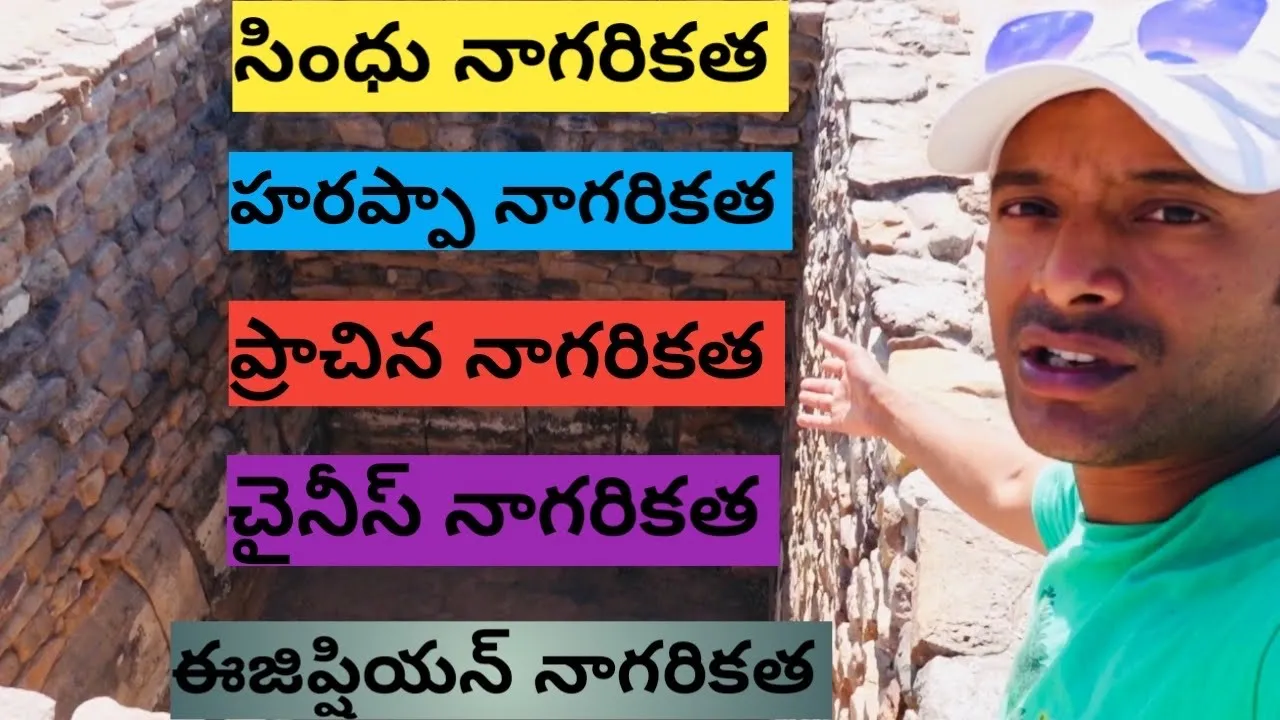
Indus Valley Civilization | Harappan Civilization
326.6K
The Indus Valley Civilization (also known as Harappan Civilization) was an ancient Bronze Age civilization that flourished around 2600-1900 BCE in what is now Pakistan and northwest India, characterized by its remarkable urban planning featuring grid-patterned cities like Mohenjo-Daro and Harappa, sophisticated water management systems including wells, public baths (the Great Bath), drainage systems with covered sewers, and standardized brick construction, demonstrating advanced engineering and civic organization for its time.
Click to watch →
Deep Dive
The trade networks, standardization of weights and measures, and economic systems that thrived within these planned cities.

Arya competition times for UGC Net by ROHIT Classes : Ch-5 हड़प्पा सभ्यता भाग २
1.5K
The Indus Valley Civilization had extensive trade networks connecting to Afghanistan, Iran, and Mesopotamia. Major ports included Sutkagen Dor, Balakot, Allah Dino, Lothal, and Sutkagen Dor. The civilization imported tin, silver, copper, gold, lapis lazuli, and pearls. Mesopotamian texts mention 'Meluha' (Indus region) as a trading partner. The civilization had standardized weights and measures based on powers of 16: 16, 64, 160, 320, 640, and 1280. The 'mana' (standard weight) was 16 units, approximately 625 grams. The most important industry was textile production, with shell and pearl industries also prominent.
Click to watch →
We Are NOT the First: What Keeps Erasing Advanced Civilizations From History? History For Sleep
313
This was not glamorous architecture, no giant statue declaring the greatness of a king. No enormous victory inscription carved into stone. It was infrastructure—the kind of infrastructure that only works when thousands of people follow shared rules. Bricks need to be made to the same proportions. Streets need to be planned before houses fill them. Drains need to be cleaned. Water needs to move somewhere. People need agreements, institutions, labor systems, and probably officials or community authorities capable of making the whole machine function. And the same sense of order appears across huge distances. Archaeologists have found standardized weights made from carefully shaped stone at sites hundreds of miles apart. The weight system was remarkably consistent. A merchant in one city could apparently measure goods using the same basic standards as a merchant far away. That tells us trade was not improvised. It was organized. Indus people traded stone, metals, shell, ivory, timber, beads, cotton, textiles, and other goods across their own vast region. They also traded with Mesopotamia. Mesopotamian texts mention a distant place called Meluhha which many scholars think was connected to the Indus world. Indus seals and goods have been found in Mesopotamian contexts while materials from western Asia reached Indus cities.
Click to watch →

How Did So Many Ancient Civilizations Build by the Same Rules?
634
Trade routes connected Mesopotamia to the Indus as early as the 3rd millennium BCE. Egyptian artifacts have been found in the Levant. Goods moved across deserts and seas, and with goods came merchants and agreements. Measurement is the language of exchange—if a merchant from one region arrives with timber or metal, quantities must be reconciled. Over time, repeated contact could produce convergence, not through conspiracy but through necessity. Archaeological tablets from Mesopotamia record detailed systems of weights and measures. Silver was weighed according to standardized units, land was measured for taxation, and temples and palaces maintained official standards. These units were often stored physically as reference stones, metal weights, and master rods. Standardization was not aesthetic—it was economic. Trade may have reinforced awareness of standardized practice, but even absent direct exchange, any society reaching a certain level of complexity would face the same pressures: urban planning demands order, irrigation canals require consistent gradient, monumental architecture demands uniform block sizing.
Click to watch →

Bricks Beads & Bones in One Shot | RBSE Class 12th History Chapter 1 | Dr. Sheetal Ma'am
23.5K
Harappan Civilization had extensive trade networks: (1) Land routes - carts and wagons for overland transport, (2) Sea routes - seals with ship motifs indicating maritime trade, (3) Trade partners included Mesopotamia, Oman, and Bahrain. Trade goods included: (1) Carnelian and lapis lazuli (from Afghanistan), (2) Timber (from distant forests), (3) Gold (from South India), (4) Copper (from Rajasthan). Evidence includes: (1) Imported artifacts at Harappan sites, (2) Harappan artifacts at Mesopotamian sites, (3) Chemical analysis of copper showing similar impurities. Harappan Civilization had a sophisticated system of weights and measures: (1) Weights were made of steatite and copper, (2) The system was based on binary (doubling) and decimal (multiples of 10) principles, (3) Standardized weights ensured fair trade. The weights ranged from small (for precious metals) to large (for bulk goods). This system indicates that Harappan Civilization had developed sophisticated mathematical concepts and standardized commercial practices. The civilization was part of a broader international trade network, with evidence of trade with Mesopotamia, Oman, and Bahrain.
Click to watch →

Who was the FIRST KING in the History of Humanity? History Documentary
385.6K
Second major reform focused on standardization of weights, aimed at facilitating tribute collection and securing trade exchanges for generations. Barter reigned in Sumerian cities with barley, dates, and wool serving as common currency. For rarer goods like metals, stone or metal weights were used, but units varied from temple to temple, region to region, complicating taxation. Under king's impetus, Kish adopted fixed standard—the Mina of Agade—already known in several Mesopotamian regions. This standard became sole reference for tributes, taxes, and official exchanges. Reference weights in stone or metal authenticated by seals were manufactured, ranging from whole Mina to smallest subdivisions. Traveling merchants were asked to equip themselves with certified instruments, ensuring uniformity throughout territory controlled by Kish.
Click to watch →
Deep Dive
Theories regarding the decline and abandonment of the Indus Valley cities, focusing on environmental changes, tectonic shifts, and the drying up of major river systems.
Indus Valley Civilization: Crash Course World History #2
8.9M
Around 1750 BCE, the Indus Valley Civilization declined and faded into obscurity. Three main theories explain this decline: (1) Conquest by people from the Caucasus, which would explain the lack of weapons since they had no military defenses; (2) Environmental disaster caused by their own environmental destruction; (3) Earthquake that changed river courses, drying up tributaries and destroying irrigation water supplies necessary for sustaining cities. Without adequate water, populations likely migrated to different plains to continue agricultural practices.
Click to watch →
Indus Valley Civilization: The Greatest Mystery of Ancient India
1.7M
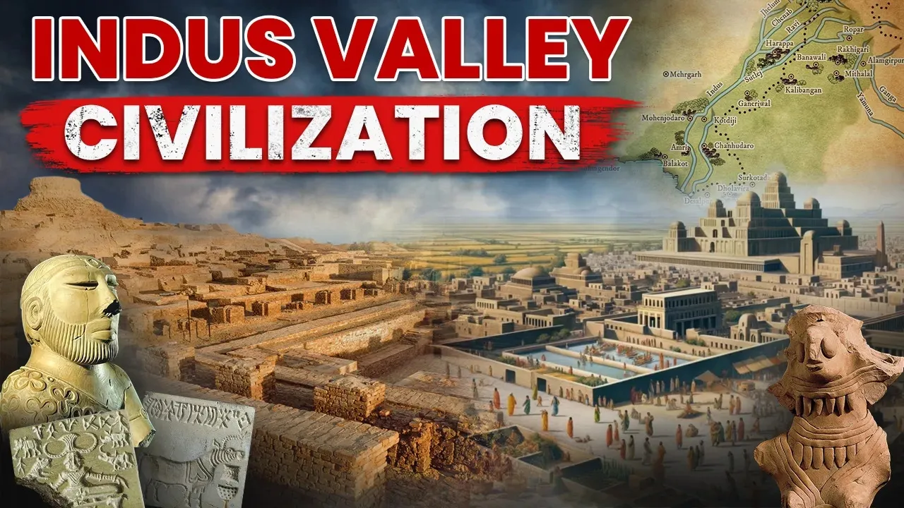
Archaeological records indicate rapid decline between 1900-1300 BCE, termed the Late Harappan Phase. Cities were abandoned one by one, with Mohenjodaro rebuilt at least nine times before final abandonment. Key indicators include cessation of standardized building ratios, discontinuation of the writing system, neglect of road maintenance and drainage systems, filling of the Great Bath, and disruption of trade links with Mesopotamia. Multiple theories explain the collapse: environmental changes causing reduced monsoon rainfall and droughts; natural disasters like earthquakes or floods; epidemics; Aryan invasions from the northwest; and gradual migration to more fertile regions. By 1700 BCE, most cities were empty, and by 1300 BCE, the civilization had permanently disappeared.
Click to watch →
Did This Ancient Civilization Vanish Without a Trace?
194.8K
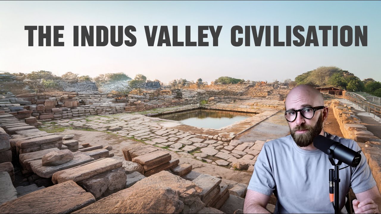
Around 1900 BC, the Indus Valley Civilization began collapsing. Archaeological evidence shows declining urban standards—clogged streets, unrepaired buildings, scarce trade goods, and abandoned cities. Multiple theories explain this collapse: environmental changes causing rivers to shift or dry up; disease spreading through urban centers; economic disruption from Mesopotamia's decline; or gradual migration to rural settlements. The invasion theory has been largely dismissed due to lack of warfare evidence. The most likely explanation combines environmental, economic, and social factors creating a slow collapse. The civilization's greatest legacy may be the mystery itself—no texts, monuments, or desperate pleas remain, leaving us to piece together their story from fragments.
Click to watch →

सिंधु घाटी सभ्यता हड़प्पा सभ्यता | Indus Valley Civilization | Indian History | All Competitive Exam
184.4K
Several theories exist regarding the decline of the Indus Valley Civilization. John Marshall and Childe believed that river flooding caused the decline. Wheeler suggested that external invasion was responsible. The most widely accepted theory, based on evidence from Mohenjo-daro, is that the civilization declined due to climate change and river course changes. The civilization may have also been affected by malaria, as evidenced by skeletal remains showing signs of the disease.
Click to watch →

સંપૂર્ણ ઈતિહાસ માત્ર એક Lectureમાં | MARATHON Lecture For Prelims | STI | GPSC Class-I/II @11AM
158K
Multiple theories explain the decline of the Indus Valley Civilization: (1) Natural disasters - floods and river course changes, (2) Earthquakes, (3) Invasion by Aryans, (4) Climate change, and (5) Political and administrative collapse. Most scholars believe it was a combination of multiple factors rather than a single cause.
Click to watch →
Deep Dive
The legacy of Harappan water management and how their ancient drainage principles relate to modern civil engineering and sustainable urban planning.

RBSE Board Eliteeducation इतिहास कक्षा 12 पाठ 1 ईटें,मनके और अस्थियां हड़प्पा सभ्यता ,"प्रश्नोत्तर"
129.9K
Harappan civilization had sophisticated urban planning with advanced drainage systems. Each house had a private bathroom connected to main drainage channels. The drainage system consisted of: (1) House drains connected to street drains; (2) Street drains connected to main drains; (3) Main drains (approximately 9 inches wide and 1 foot deep) that carried waste water out of the city. The drains were made of baked bricks and had stone covers for cleaning. This system was found not only in major cities but also in smaller settlements, indicating it was a standard feature of Harappan urban planning.
Click to watch →
Class 12 History Chapter 1 | ईंटें मनके तथा अस्थियाँ | हड़प्पा सभ्यता | History Class 12 | Part 3
16K
The drainage system was one of the most remarkable features of Harappan civilization. Most houses had private wells and bathrooms. Waste water from houses flowed through small channels into street drains, which connected to main drains. Main drains were covered with stone slabs and emptied into rivers. Drains were made of baked bricks and plastered inside with lime and gypsum to prevent leakage. This sophisticated water management system ensured proper sanitation and public health in Harappan cities.
Click to watch →

UPPCS Pre 2026 History 🔥 हड़प्पा सभ्यता Complete Lecture, BEO 2026,RO/ARO 2026..Sudhir Sir
1.7K
Harappans developed planned cities with streets intersecting at 90-degree angles and advanced drainage systems with manholes for cleaning. This represents one of the most sophisticated urban planning systems in ancient history. Harappans did not use paved roads but made roads of packed earth. Kalibanga is the exception where roads were paved with stone. The drainage system was highly effective, with manholes at regular intervals for cleaning and covering to prevent odors.
Click to watch →

In The Earliest Cities - L1 | NCERT Class 6 History Chapter 4 | SST | Young Wonders | Sundar Sir
30.2K
Harappan cities featured sophisticated urban planning with covered drainage systems that many modern Indian villages still lack. Houses were one or two stories high with rooms around central courtyards, separate bathing areas, and wells for water supply. The Great Bath at Mohenjo-Daro was lined with bricks and coated with natural tar to create a watertight bathing pool. Each drain had a gentle slope for water flow, and inspection holes allowed periodic cleaning. This represents one of the earliest examples of planned urban infrastructure in human history.
Click to watch →

Want to Ace Class 12 History? | Ultimate Ancient History MARATHON is the SECRET! | Book 1 Complete
42.5K
Harappan cities were planned with grid patterns, divided into Citadel (raised platform with large public buildings like Great Bath and Great Granary for wealthy residents) and Lower Town (ground level with residential buildings for ordinary people). The Great Bath was a large rectangular tank built with burnt bricks, surrounded by corridors with changing rooms and stairs for ritual bathing. The drainage system was one of the most distinctive features, with streets laid in grid patterns and drainage channels alongside houses covered with stone slabs. Harappan bricks had a standardized ratio of 1:2:4 (length:2, breadth:4, height:1), made using wooden molds. Harappan society had three main categories: landowners (wealthy), average peasants (with some land), and landless people (laborers). Craft production was concentrated in centers like Chanhudaro, Lothal, and Dholavira, involving bead making, shell cutting, metal working, and seal making.
Click to watch →
Urban Design
Sanitation
Urban Design
0:00- 1
Cities featured sturdy burnt brick buildings and granaries.
- 2
Towns split into elevated Citadel and lower residential areas.
- 3
Planning supported around 40,000 inhabitants efficiently.
Decentralized Planning and Social Disparity in Harappan Sanitation
While traditional narratives celebrate the Indus Valley Civilization for its uniform, highly advanced, and egalitarian sanitation and grid-based town planning, contemporary archaeological critiques offer a more nuanced perspective. Scholars increasingly challenge the idea of a highly centralized authority enforcing uniform codes, pointing instead to significant regional variations and organic, decentralized growth across different sites. Furthermore, critical analyses of skeletal remains and household-level water access suggest that these advanced drainage systems were not universally shared. Significant socio-economic stratification existed, meaning elite neighborhoods enjoyed sophisticated private wells and drains, while poorer quarters lacked these amenities and suffered from higher rates of waterborne diseases and physical stress. This counterpoint reframes Harappan town planning not as a utopian feat of universal civic engineering, but as a system of exclusion that reflected and reinforced social hierarchy.
Basic geographical and historical context of the Indus Valley Civilization, including its location in South Asia and its timeframe (c. 3300–1300 BCE).
The concept of the Bronze Age transition, detailing how agricultural villages evolved into complex, populated urban centers.
Fundamental understanding of archaeological terms and methods, such as 'excavation', 'material culture', and the significance of major sites like Harappa and Mohenjo-daro.
Basic human hygiene and civil engineering requirements, specifically why access to clean water and waste disposal is critical for large-scale settlements.
The social and political structure of Harappan society, exploring whether their highly organized cities imply a strong centralized government or an egalitarian system.
A comparative study of Harappan urban planning with contemporary ancient civilizations, such as Mesopotamia and Ancient Egypt.
The trade networks, standardization of weights and measures, and economic systems that thrived within these planned cities.
Theories regarding the decline and abandonment of the Indus Valley cities, focusing on environmental changes, tectonic shifts, and the drying up of major river systems.
The legacy of Harappan water management and how their ancient drainage principles relate to modern civil engineering and sustainable urban planning.
130.1K views2.1Klikes3:19@BelfastbeeOriginal Release: 2020-06-30
[Music] titties of the Indus Valley [Music] the cities of the Indus Valley were well-developed urban centers the buildings were sturdy and made of burnt brick and stone [Music] evidence of town buildings like granaries warehouses and brick walls suggest a great deal of architectural planning and efficiency [Music] Town Planning the Indus Valley people built their cities with proper planning and according to a set pattern [Music] a typical city could house about 40,000 people [Music] the city was generally divided into two sections the upper town called the Citadel and the lower town the Citadel was usually based on a mound or at an elevated position [Music] it was possibly occupied by the members of the ruling class [Music] below the Citadel lay a Lowertown containing brick houses which were inhabited by common people drainage system [Music] the drainage system was so well planned that it could be compared with that of any modern city [Music] drains were built alongside the roads [Music] kitchens and bathrooms had drains which were connected to the street drains these drains were covered with bricks and sometimes with stone slabs [Music] the drainage system of Harappa is very unique which indicates that Harappans paid a good deal of attention to health and cleanliness [Music]
Up Next
17:04
Ancient Roman Sanitation: Engineering Marvels and Daily Life
@megaprojects9649
725K views•2020-06-04

33:02
The Great Schism of 1054: Causes and Consequences
@SacredCathedrals
113.5K views•2026-02-19

91:57
The Geopolitics of the Ukraine War and the Rise of Global Autocracy
@JordanHarbingerShow
468K views•2025-04-19
17:05
Understanding the Cold War: Superpower Conflicts and the Road to Détente
@OverSimplified
46.1M views•2019-01-24
Related Study Plans & Knowledge Roadmaps
Structured learning paths in History
history
Byzantine Iconoclasm: Theology, Art & Politics
01Foundations of Byzantium and Early Christian Images
02The First Iconoclasm: Leo III and the Crisis of Images
03Empress Irene, Nicaea II, and the Second Iconoclasm
+ 2 more learning modules
9h5 modules
Explore Roadmap
history
Iranian Revolution (Causes, Events & Legacy)
01The Pahlavi Dynasty and the Roots of Discontent
02The Spark of Rebellion and the Rise of Khomeini
031979: The Fall of the Shah and the Climax of the Revolution
+ 2 more learning modules
8h5 modules
Explore Roadmap
history
Mali Empire: Mansa Musa, Trade & Timbuktu
01Foundations of the Mali Empire
02The Trans-Saharan Gold and Salt Trade
03The Reign and Pilgrimage of Mansa Musa
+ 1 more learning modules
6h4 modules
Explore Roadmap
history
1947 Partition: Politics, Borders & Legacies
01Foundations of British India and the Divide
02The Political Negotiations and the Mountbatten Plan
03Drawing the Boundary: The Radcliffe Line
+ 2 more learning modules
8h5 modules
Explore Roadmap