






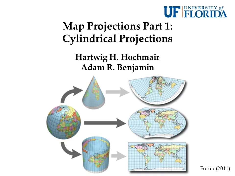







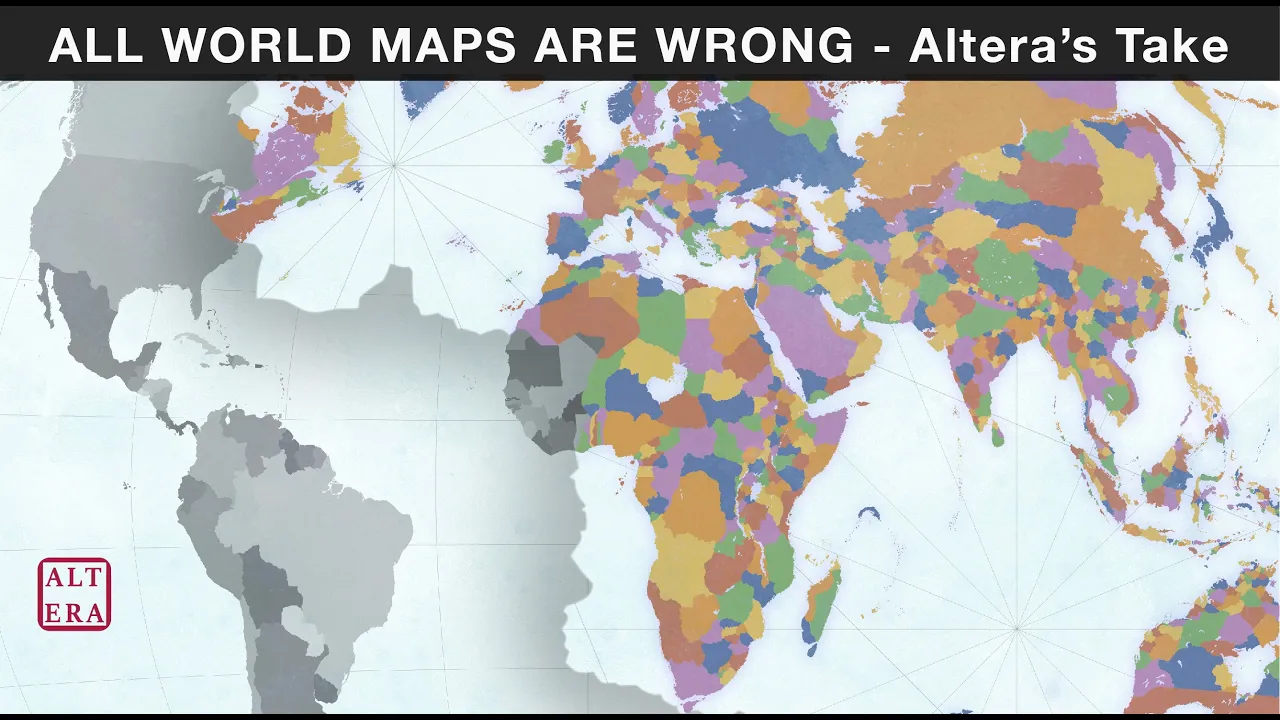

Map projections are methods of representing Earth's curved 3D surface on flat 2D maps, and three common types serve different purposes: the Mercator projection preserves true direction (ideal for navigation) but distorts land sizes near the poles; the Robinson projection shows continents' truest size and shape but flattens the poles; and the Winkel Tripel projection maintains minimal distortion in land size, distance, and direction while having curved latitude lines and distorted poles.
Map Projections Explained: Mercator, Robinson & Winkel Tripel
Added:The geometric challenge of representing a 3D sphere (Earth as an oblate spheroid) on a 2D flat surface without tearing or stretching.
Basic understanding of the geographic coordinate system, including latitude, longitude, the equator, and the prime meridian.
The concept of map distortion and the four core spatial properties that can be compromised: area, shape, distance, and direction.
Basic cartographic terms such as 'conformal' (preserving shape) and 'equivalent/equal-area' (preserving size).
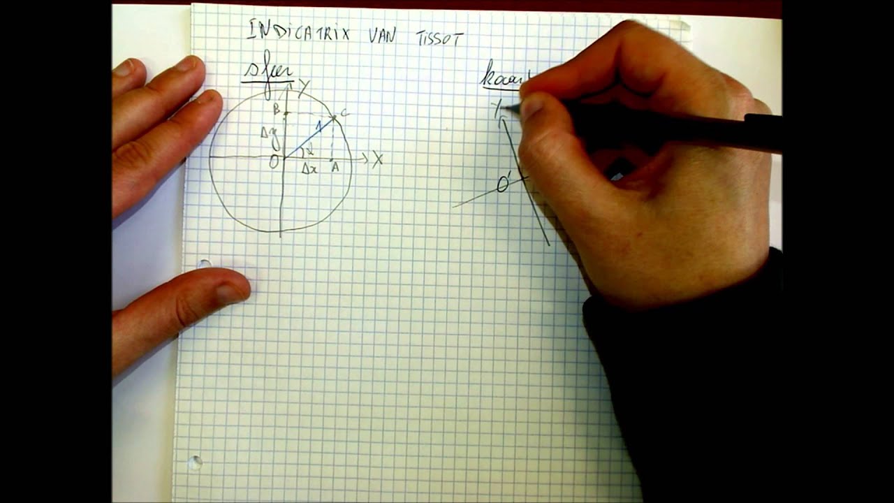
An introduction to Tissot's Indicatrix, a mathematical tool used to visualize and quantify spatial distortion on maps.
Exploring other projection families, such as conic and azimuthal projections, and specialized systems like the Universal Transverse Mercator (UTM).
The practical application of coordinate reference systems (CRS) and EPSG codes within Geographic Information Systems (GIS) software.
The sociopolitical and pedagogical implications of map projections, including debates surrounding Eurocentrism and size bias on traditional maps.
65K views391likes5:46Original Release: 2015-09-20
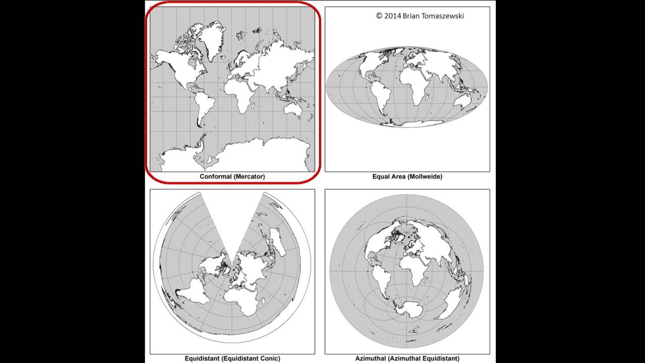
hello and welcome to take number five of map projections with Mrs B Acosta this has taken five times to get right so uh today what we're going to be talking about is what map projections are what the different types of map projections we may come across and how are they different from one another so let's start with what a map projection is a map projection is a way of showing the curved three-dimensional surface of the Earth on a flat two-dimensional map so imagine those round inflatable GL loes we've been using in class A map projection would be taking that 3D version and making it nice and flat so that it would be on your desk so there are different types of map projections for different purposes depending on what you needed them for so the first one we're going to talk about is a marcador map projection as you can see on the right it is rectangular in shape and it's used mostly for marine navigation so if I needed to get from Miami to Mexico uh this would be the best one for me to use now why is that because the Mercer map projections biggest Advantage is that it shows true Direction between places the best out of all map projections so if I needed to know the true distance between any two places on Earth this is going to be the best projection for me the major disadvantage of the Mercer map projection is that land size is distorted or misrepresented near the North and South Pole so if you see on the right and in our projection I've labeled Greenland and I've labeled South America now in this map projection they look similar in size but in reality Greenland is actually closer in size to Mexico so when we want to think about what the size of continents are this isn't the best map projection for us also if you look at Antarctica which is to the south on our map projection it looks rather large and again this is because it is distorted by its size so Advantage true true Direction disadvantage land size not accurate the next one we're going to talk about is the Robinson map projection now the shape of this one is rectangular in shape uh and we like to say it has rounded edges so imagine we took a rectangle and we just rounded out the sides and that's what we've got here uh and this is the most common map projection that you'll find a lot of them are in textbooks online line um this is just the most common that you'll find um and the advantage of this one is that the continents that you see are shown truest in size and shape so if I was focusing on what the size and the shape of the continents are this would be the best map projection for me uh but one of the disadvantages of this is that the North and the South poles are flattened uh so we know in like our 3D models of a globe we have the top and we have the North and the South Pole where here they've kind of flattened out the top so it's a little bit inaccurate towards the North and the South Pole finally we have the Winkle triple map projection uh now you'll notice this one's a little bit more rounder in shape similar to a sphere or Globe uh now the advantage of this map projection is that there's minimal or small amounts of distortion in the size of the land continents uh the distance between places and the direction so when we talk about north south east and west uh this one's pretty good at keeping that true to D Direction but the disadvantage is that the Distortion between the North and the South Poles um are there uh and you'll also notice that the latitude lines are curved so we've talked about latitude lines being parallel to one another uh but in this particular map projection they are not now one of the biggest differences between the Winkle triple and the Robinson projection are their sizes I wanted to point this out to you if you see on the right hand side we've got the Robinson projection which we said is that rectangular shape with the curved edges and the Winkle triple is more rounds and these two are really easy to get confused because of those rounded edges uh but just keep in mind that the Winkle triple is closer in shape to a actual Globe where the Robinson projection is like I took the globe and I stretched it and I curved those edges so in review we've got the Mercer map projection which is in your top right uh it's rectangular in shape it's good for boating navigating the water uh and the best thing about this projection is that it's true Direction between places on Earth are accurate if I need to know the distance between two places this is what I want to use uh but the land side is awful if I looking to see what size the continents are this one's not going to be very helpful the Robinson projections in the center and that ones are rectangular shape with the rounded edges most commonly used matap projection the best thing about this projection is that it's true size and shape of the land and the North and South poles are flat so that's what we have to keep in mind when we're using this one and finally we have the Winkle triple projection which is in your top right corner this one's rounded in shape uh there's a small amount of distortion in land size distance and Direction uh but our latitude lines are curved oh no sad face and the North and South Pole are distorted I hope this was useful if you have any questions please let me know um and you just learned something new today
Up Next
32:13
How Colonial Maps Distorted Africa | Righting the World Map
@MakeAfrikaGreat
259.9K views•2025-08-15

12:54
Triumph of Orthodoxy Icon: Byzantine Art & History Explained
@BenCallan
2.1K views•2024-08-06

9:49
FastAPI vs Flask vs Django: Choosing the Right Python Web Framework
@TechWithTim
302.5K views•2024-05-26

1:42
Game of Thrones Opening Credits: A Cinematic Analysis
@gameofthrones
46.3M views•2011-04-18
Related Study Plans & Knowledge Roadmaps
Structured learning paths in General & Interdisciplinary Studies
general-studies
Elevator Engineering: History, Physics & Cities
01From Hoists to Safety Brakes: The Dawn of Vertical Lift
02Hydraulic vs. Traction: The Engineering Physics of Elevators
03Modern Speed, Safety, and Algorithms
+ 2 more learning modules
12h5 modules
Explore Roadmap
general-studies
Rubber: Material Science, History & Geopolitics
01Origins of Natural Rubber & Mesoamerican History
02The Chemistry of Natural Rubber & Vulcanization
03The Geopolitics of the Rubber Boom & Colonization
+ 2 more learning modules
12h5 modules
Explore Roadmap
general-studies
Containerization: Evolution, Logistics & Trade
01Ancient Trade & Bulk Cargo: Amphorae to Barrels
02The Industrial Revolution & Cardboard Packaging
03The Containerization Revolution: Malcom McLean
+ 2 more learning modules
12h5 modules
Explore Roadmap
general-studies
Textile Tech: Evolution, Labor & Global Impact
01Pre-Industrial Textiles: Handloom & Cottage Industry
02Mechanization: The Spinning Jenny to the Power Loom
03The Factory System & Global Labor Transformation
+ 2 more learning modules
10h5 modules
Explore Roadmap