






![Types of Map Projections [AP Human Geography]](https://i.ytimg.com/vi_webp/IBYzeT2O97g/maxresdefault.webp)
![Map Projections & Types of Maps [AP Human Geography Review: Unit 1 Topic 1]](https://i.ytimg.com/vi/coDnSg9xGlU/maxresdefault.jpg)


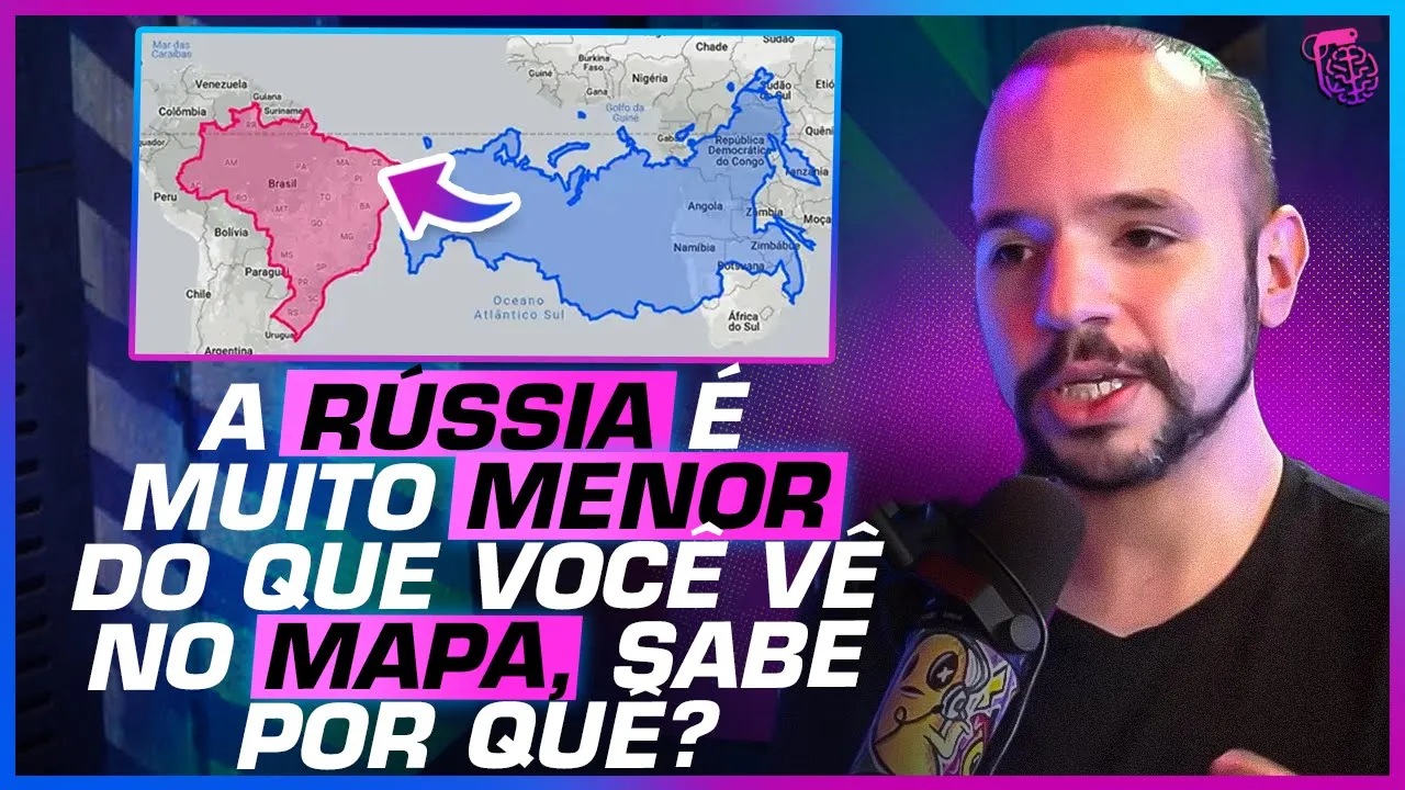
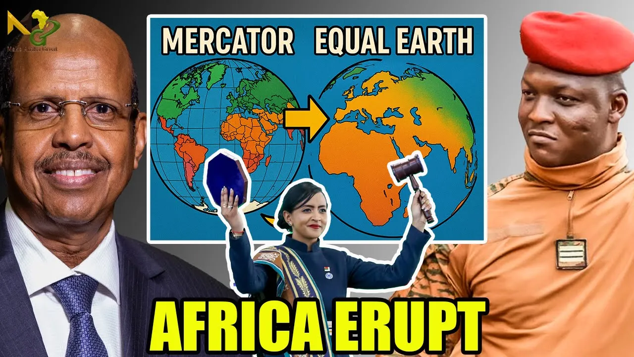






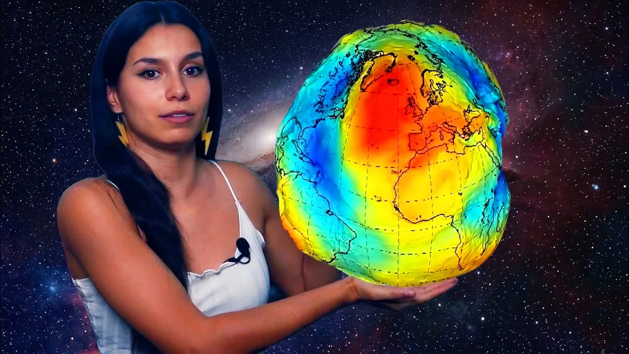



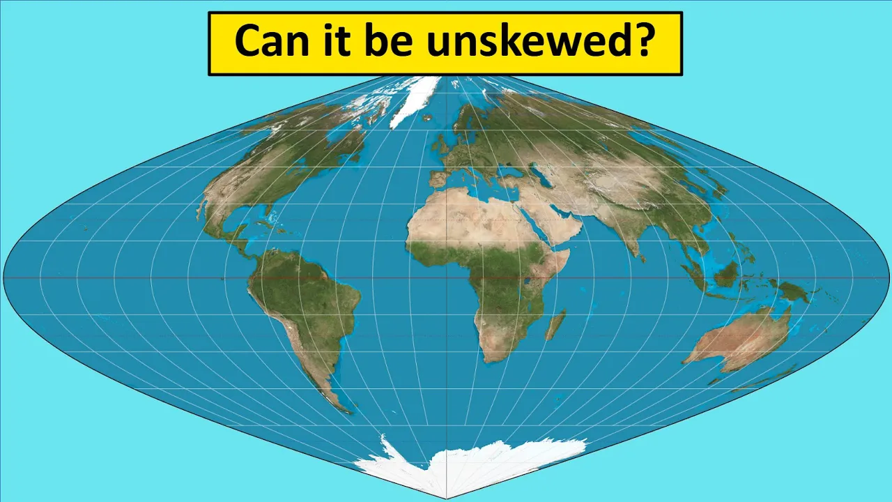
Every flat world map is inherently inaccurate because it's impossible to perfectly represent a three-dimensional spherical Earth on a two-dimensional surface; different map projections solve this problem in various ways—some prioritize navigation (like Mercator's projection, which preserves direction but distorts size), others prioritize area accuracy (like the Gall-Peters projection), and some minimize overall distortion (like the AuthaGraph)—but all involve compromises that shape how we perceive global geography and relationships between regions.
Why Every World Map Is Wrong: Map Projections Explained
Added:The fundamental geometry of the Earth as a three-dimensional oblate spheroid.
The coordinate system of latitude and longitude used to locate points on a spherical surface.
Basic concepts of scale and spatial representation in introductory geography.
A comparative analysis of major projection types, such as Mercator, Gall-Peters, Robinson, and Winkel Tripel, and their specific use cases.
The socio-political implications of cartographic choices, including colonial bias and the distortion of geopolitical importance.
How modern Geographic Information Systems (GIS) and digital web mapping applications handle projection transformations dynamically.
The mathematical principles of geodesy, focusing on how conformal, equivalent, and equidistant projections preserve specific geometric properties.
933.5K views30.1Klikes4:58Original Release: 2021-03-29
Fourteen Greenlands could fit in Africa, but you wouldn’t guess it from most maps of the world.
The fact is, every world map humans have ever made is wrong.
Actually, it’s impossible to make a map of the world 100% right.
No, not you, globe— we know you’re accurate.
Not you, Google Earth, you’re just a digital globe.
We're talking about flat maps, which, let's face it, are way more convenient for a lot of things.
Anyway, as we were saying, it’s impossible to make a 100% accurate flat map of a spherical planet.
For a long time, people didn't even try.
They just plonked places down in arbitrary locations without any consistent scale.
Then in 150 AD, the Greek mathematician and astronomer Ptolemy systematically mapped the Earth on a grid and placed locations on the grid according to coordinates, so maps could be checked against others and replicated.
Ptolemy built his grid out of lines we still use today: 180 lines of latitude and 360 lines of longitude.
In spite of these advances, people kept getting lost.
Part of the problem was a— shall we say— incomplete understanding of the world’s geography.
But it was also just really difficult to navigate using a map.
Because the Earth is round, the shortest route from one place to another is a path along a circle.
If we draw this route on a flat map, it passes through every line of longitude at a different angle.
To follow the route, you’d have to constantly shift the direction you're traveling.
Any slight error would land you in the wrong place.
In 1569, Gerardus Mercator fixed this problem.
He created a world map proportioned so these curved navigational routes would be straight, passing through every line of longitude at the same angle and therefore allowing navigators to set a constant bearing— in other words, travel in one direction— for a whole journey.
There was just one tiny hitch: to do this, he had to distort land masses and bodies of water so those furthest from the equator got larger and those closest to the equator shrank.
In spite of its inaccuracies, Mercator’s map was very useful.
In fact, it’s still widely used today, including in online maps.
But it’s still wrong!
In 1925, the Goode Homolosine Projection was created as— get this— an interrupted pseudo-cylindrical equal area projection.
What does that mean? Not important.
The point was to minimize distortion for the entire world.
The map can be land-oriented... or ocean-oriented.
Either way, the so-called orange peel map isn’t very easy to read.
The Dymaxion Projection by American architect Buckminster Fuller in the 1940s is even better.
Sorry, did we say better?
It’s not better if you want to understand where things are in the world.
It is better in the sense that there are no visibly evident distortions of the land masses.
Though if you wanted to know, say, how far Brazil is from Nigeria, you won’t get any sense of that from this map.
The most accurate projection to date is the AuthaGraph World Map designed by Japanese architect Hajime Narukawa in 1999.
The continents and oceans are almost completely in proportion, and the map is rectangular, just how we like it.
Could this be the perfect map?
Well... no.
Since the Mercator works for navigation and reads clearly, why bother with all these whacky maps?
Arno Peters argued that by enlarging European and North American countries, the Mercator projection gives white nations a sense of supremacy over non-white nations closer to the equator.
He adapted the Gall-Peters Projection, which counteracts that particular problem, but the continents are still... stretched.
Today, we rely on maps less and less for navigation, but they still play a vital role in education.
Peters was definitely on to something: no matter what map we’re looking at, it’s a story told from the perspective of the map’s creator that in turn shapes—perhaps unduly— our perception of our world.
Simple changes in map design, even changes that have nothing to do with how we transfer a round Earth to a flat surface, can completely shift our point of view.
Up Next
6:16
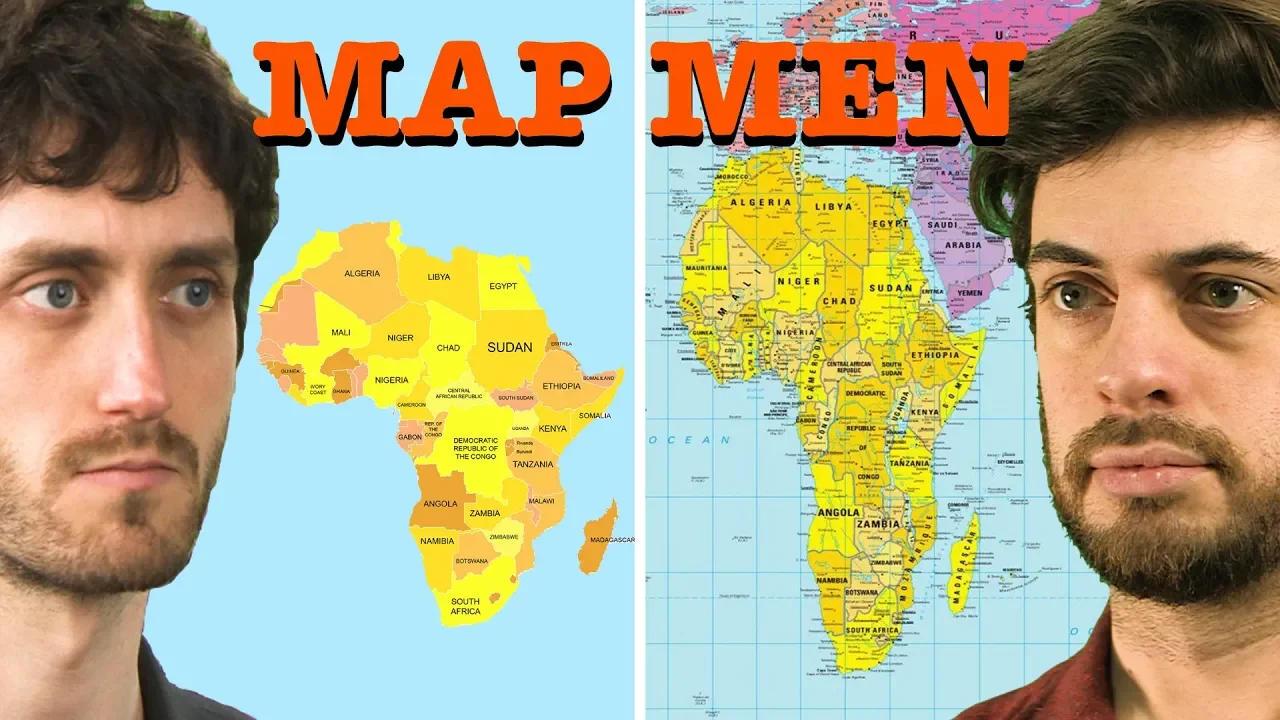
Map Projections Explained: Why Every World Map Is Distorted
@JayForeman
4.6M views•2019-06-20

12:54
Triumph of Orthodoxy Icon: Byzantine Art & History Explained
@BenCallan
2.1K views•2024-08-06
5:06
Islamic Geometric Design: A Mathematical Art History
@TEDEd
3.6M views•2015-05-14

1:42
Game of Thrones Opening Credits: A Cinematic Analysis
@gameofthrones
46.3M views•2011-04-18
Related Study Plans & Knowledge Roadmaps
Structured learning paths in General & Interdisciplinary Studies
general-studies
Elevator Engineering: History, Physics & Cities
01From Hoists to Safety Brakes: The Dawn of Vertical Lift
02Hydraulic vs. Traction: The Engineering Physics of Elevators
03Modern Speed, Safety, and Algorithms
+ 2 more learning modules
12h5 modules
Explore Roadmap
general-studies
Rubber: Material Science, History & Geopolitics
01Origins of Natural Rubber & Mesoamerican History
02The Chemistry of Natural Rubber & Vulcanization
03The Geopolitics of the Rubber Boom & Colonization
+ 2 more learning modules
12h5 modules
Explore Roadmap
general-studies
Containerization: Evolution, Logistics & Trade
01Ancient Trade & Bulk Cargo: Amphorae to Barrels
02The Industrial Revolution & Cardboard Packaging
03The Containerization Revolution: Malcom McLean
+ 2 more learning modules
12h5 modules
Explore Roadmap
general-studies
Textile Tech: Evolution, Labor & Global Impact
01Pre-Industrial Textiles: Handloom & Cottage Industry
02Mechanization: The Spinning Jenny to the Power Loom
03The Factory System & Global Labor Transformation
+ 2 more learning modules
10h5 modules
Explore Roadmap