












Francisco Estrada-Belli discusses his groundbreaking lidar study of the Maya Lowlands, which mapped nearly 95,000 square kilometers and revealed that the Classic Maya civilization supported 9.5 to 16 million people, fundamentally changing our understanding of Mesoamerican urbanism by demonstrating that the Maya developed a sophisticated low-density urbanism where elite administration extended throughout rural areas, challenging previous assumptions about disconnected rural communities.
Maya Lidar Survey: 95,000 sq km Reveals Hidden Civilization
Added:Basic chronology and geography of the ancient Maya civilization, particularly during the Classic period (250–900 CE) in Mesoamerica.
The fundamental principles of LiDAR (Light Detection and Ranging) technology, specifically how laser pulses are used to penetrate dense forest canopies and map underlying terrain.
Traditional archaeological survey methods, such as foot reconnaissance and manual mapping, to contextualize why remote sensing is a paradigm shift.
Prior historical consensus regarding Maya settlement patterns, which often assumed smaller, more isolated city-states with lower population densities.
The methodology of 'ground-truthing,' where archaeologists physically locate, survey, and excavate the specific structures identified by aerial LiDAR data.
Advanced Maya agricultural and water management infrastructure, such as terracing, canals, dikes, and reservoirs, which supported these newly discovered massive populations.
The geopolitical and socioeconomic implications of a highly interconnected, urbanized Maya landscape on theories of ancient warfare, trade, and political integration.
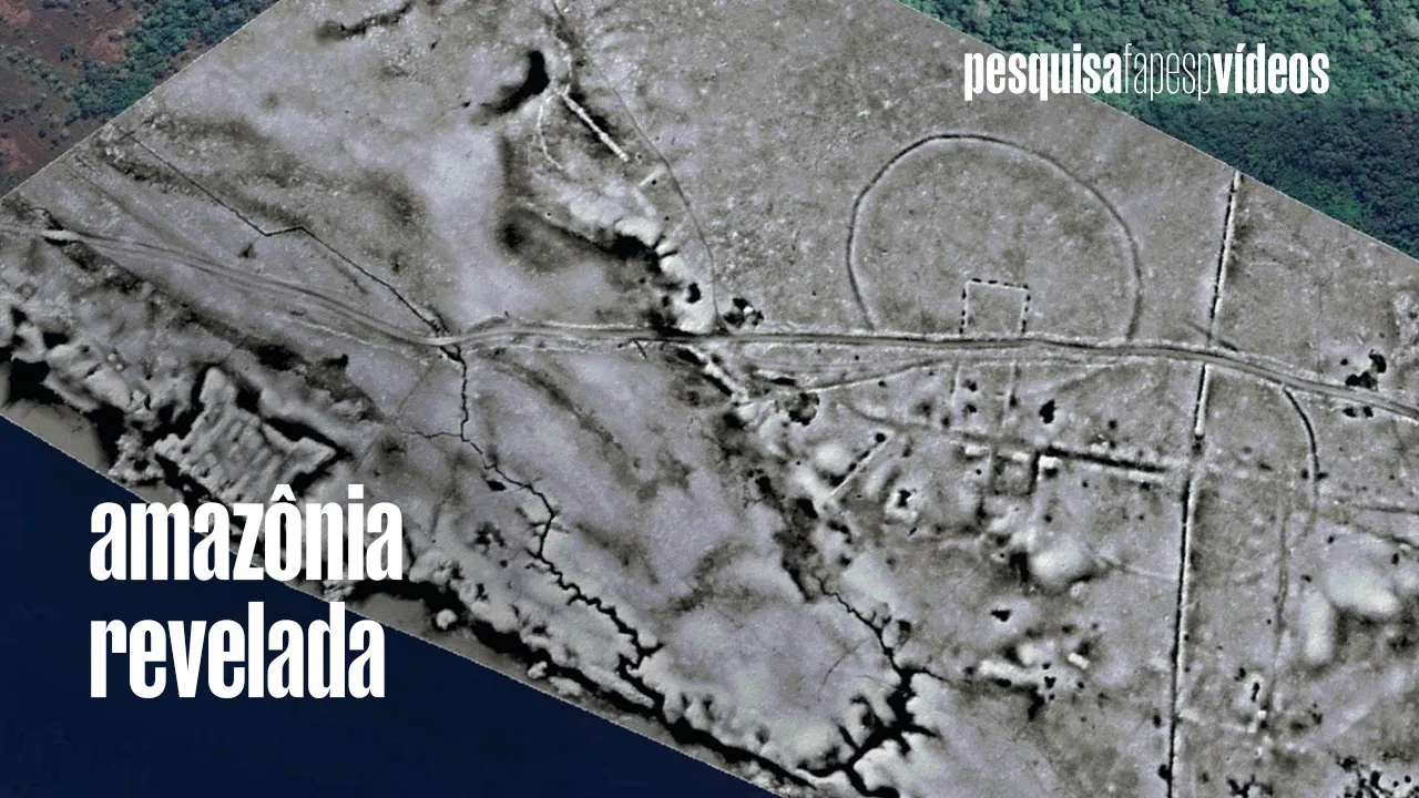
The application of LiDAR and remote sensing technologies in other heavily forested archaeological regions, such as the Amazon basin or the Khmer Empire at Angkor Wat.
2.2K views120likes1:08:08Original Release: 2025-12-19
[Music] Hello, Francisco Estrada Belly. Welcome to my YouTube channel.
>> Hi, David. Thanks for having me.
Francisco is one of the leading voices in Maya archaeology and among the first researchers to use lidar to reveal ancient landscapes on a massive scale.
Francisco and his team have recently published a lidar study from the Maya lands revealing archaeological remains on the Yucatan Peninsula. Their findings have dramatically revised our understanding of the population estimates of the Maya during the classic period. This is a major shift in the archaeology of the Yucatan Peninsula.
And I'm excited to have Francisco here to dive into his new paper which is titled New Regional Scale Classic Maya Population Density Estimates and Settlement Distribution Models Through Airborne Liidar Scanning. Now Francisco, what historically made it so difficult to estimate Maya populations and using LiDAR? What does this allow us to finally see?
>> Well, historically, my archaeology has been on one side blessed and on another sides been cursed by the extensive forest that covers all the archaeological sites that are out there in the Yucatan Peninsula. The the good news is that unlike many other ancient civilizations, the Maya pretty much walked out of their cities and their city is still out there. They haven't been buried by later construction. Like for example, you know, there there have been no major floods like the Nile flooding all the cities in the delta or Mesopotamian floods that buried the ancient Sumerian cities deeply several meters deep under the surface.
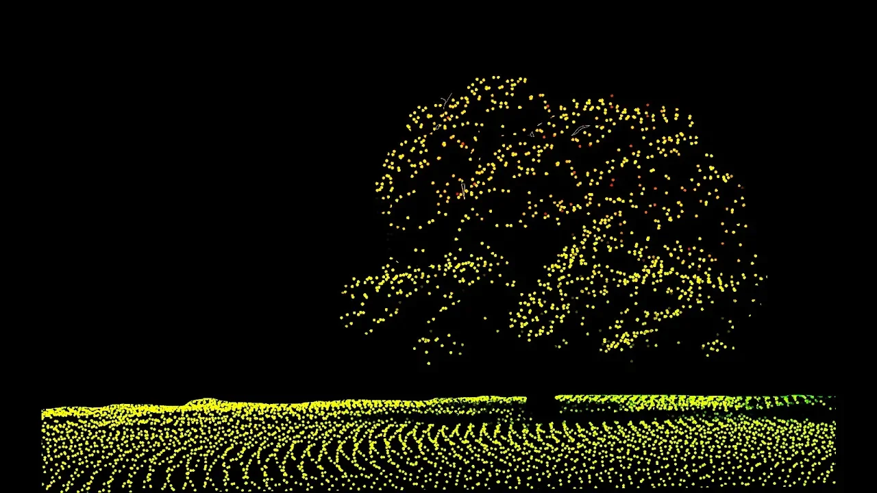
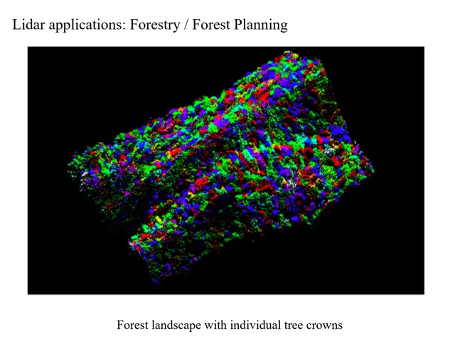
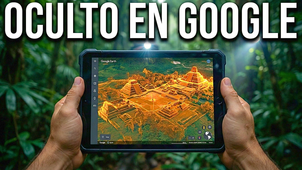
And in this case, we have an entire civilization's landscape out there undisturbed basically for the last 1,000 years except it's covered by forest and we cannot see it. And so this new technology allows us to see through the trees in a way at least to have maps of what's under the forest. They're very detailed and although we cannot see under the surface, we cannot see what's buried, but we can we can see all that's on the surface. And down to the most minute details, micro topography, they can even tell us about things that are buried that you couldn't see if you were standing on top of them. So it's uh it's a real revolution. It's a technology that really opened up uh huge avenues for research not just for the Maya but for other civilizations as well.
>> So how big what's the smallest size feature that you could discern using this LAR? So well it really depends on u how much money we have to invest because the the resolution or our ability to distinguish objects is really determined by the separation between the data points that we receive from the instrument. So right now we're working with things u that vary between one point per square meter to five points per square meter. uh and in terms of vertical uh resolution we can see things that are just one row of stones on the surface like 25 cm you know above the surface we can see that u and we can see things that are smaller than a meter in area u for a number of technical reasons I won't get into but um it's pretty good uh and the the good side of it is that we couldn't possibly see these things if we were standing on top of them because they're completely covered by not only trees but the undergrowth and tall grasses and all sorts of vegetation that um makes it completely invisible out there in the the field.
>> Okay. Now going through your paper, the one thing I noticed was that most surveys prior to LiDAR were focused on major centers and major population centers like Tikall and mainly in the southern my lands. These features basically were the the easiest ones to see walking on the ground. With this lighter though, you're changing mainly the way we're seeing rural settings of the Maya or more rural, smaller towns, let's say, and villages, especially in the northern Maya lands. So, can you maybe summarize how this data has reshaped how we think of the rural areas of the Maya and their population? Yeah.
Could you maybe give us a little insight into that?
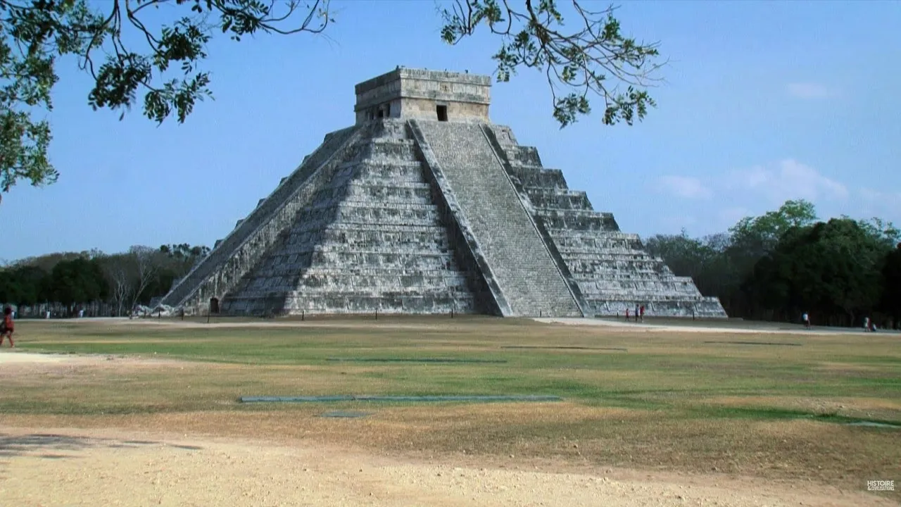
>> Yeah. So you know we had you know my archaeology has been going on for over a hundred years right the first archaeologist came into the myalands at the beginning of the 20th century before them they were explorers at a time before even archaeology was a discipline they were just exploring and noting the pyramids and and so the early ideas about Maya cities where they were anti-eremonial centers and the people lived somewhere out in the neighborhood or you know in the vicinity and only came to the plazas and and the temples during important ceremonies.
Then in the 1960s there were major breakthroughs in mapping. One archaeologist famously decided to map an area that was not part of a city and realized there were hundreds of structures and so began the quest for how big really were. the city were really urban centers as we have today as we had in every other civilization or were they something different and so more recently the prevailing view is that the Maya had developed a former urbanism we call low density urbanism >> yes I heard that >> which which is uh particular especially to uh neotropical environments and there are two major civilizations that conform to this theoretical model. One is the Maya. The other one is the Cambodian Camar civilization of the middle 15th century. Cities like Ankor what >> they can have over 200,000 inhabitants and around the ceremonial center with the temples and the palaces and the most important state buildings there is massive sprawl. They're basically endless sprawl. So we that that's what we see today thanks to LAR is not only the the centers of cities with the big temples, you know, the downtown area if you will with lots of pyramids that we we probably could see anyway, but um around there there is a literally an end endless sprawl. The density varies from, you know, highly urban to dispersed in in certain areas. But what we're finding is uh as we continue to accumulate data using LAR, we're finding that pretty much every section of the Yucatan Peninsula was occupied at one time or another. Um and we're focusing mostly on the peak of the classic period which is the 8th century AD. Right? So right around this time we you know we think there was um you know the highest number of uh inhabitants in the Yucatan Peninsula there was the the strongest political organization. The Maya had actually formed an empire at this time.
So it's it's really the golden age and and one of the of the new things that are coming out of of studies like ours is that there is really no separation between the urban people and the rural people as as it comes to Maya Maya society.
>> For a long time we thought that communities that were far away from the city were disconnected and they were kind of like independent. they were not concerned with the political ups and downs or the kingdom but uh what we are finding instead is that the the elite that were basically the administrative class of the state were everywhere. They were distributed outside of the city in the rural areas and they were coordinating the the labor and the land tenure in throughout the these hinterlands of these major cities. And so we found that uh pretty much um there's no there's no point in the myolins in which a a farmer or a group of farmers were not within walking distance of a compound occupied by nobles >> and those rural nobles were not very far from higher ranking nobles that were closer to major political center. And so it's really a network of cities and towns and villages. And within each one of these levels of settlement hierarchy, there is also political hierarchy. So yeah, Maya society looks like it was extremely organized and organized in a way that they could use the resources in an optimal way. And so it's far from the idea of this disorganized patchwork of CDs and empty spaces that we imagined, you know, not too long ago.
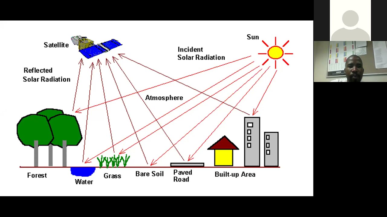
>> Now, let's get into maybe the technicals of the liar. For those that don't know much about lidar or what is novel about your study? So, first of all, for those that are watching that don't know, lidar is light detecting and ranging. It's a sensor you fly over the land. It shoots laser lights down that then map the three-dimensional surface of the earth and it can remove even you can even penetrate through vegetation and like you mentioned you can pick up stuff you know the size of 25 centimeters or less than maybe a meter squared on the ground. And so with this sensor you can essentially scan vast amounts of dense forests in the myolan. And also to define the myolan we're essent we mean basically the low elevation areas of the yucatan peninsula. The northern part is the northern myolins of the yucatan and the southern is the southern part obviously where lake tikall would be found. Now in your paper though the novel part is that you reprocessed 850 kilometers squared of lidar from the north and 880 km squared of lidar from the south. The northern parts um include Chaktun and the southern part includes Tikall and La Corona. You then analyze these and were able to estimate individual structures like household structures that you put household sizes between about two to three to four people in each of these. And from these brand new scans, you were able to estimate that the classic Maya population must have been about 9.5 to 16 million people. That is incredible. And like you're saying, there was very little difference between the rural and the urban because that is a lot. That's a lot of people. And that seems like almost the entire landscape is essentially occupied by people and their agricultural fields. And as you're saying, they're within sight of nobles who help to manage these resources for this great kingdom empire of the Maya.
Yeah, it's I mean if you think about it, Guatemala today has a population of about 17 million people and they're mostly concentrated in the south.
Guatemala has a, you know, a highland region to the south of the Myalands and uh that's where most of the the population is today. And so imagine, you know, if if anybody had the opportunity to go to Guatemala today, they'll see this u hilly landscape field of of covered by villages and farmsteads.
It's pretty much what you would see if you were to fly over the entire Yucatan Peninsula a thousand years ago or,200 years ago. It's that level of density.
It's another example would be like the French countryside. There is villages everywhere you know uh farms, fields, trees. It wasn't completely deforested.
There was, you know, there was diversity of of vegetation cover. There was obviously they had patches of primary forest because we can see the old wood that they used to um support the doorways and temples and and even in houses. So, I mean that it sounds like a too many people for the landscape, >> but it's it's really not. And and we're really just looking at the central part of the the Yucatan Peninsula. So, it's 95 square kilometers in the center of the peninsula and the entire Maya region is 300,000 square kilometers. So it's, you know, the entire Yucatan Peninsula, you know, the south part of Guatemala, parts of uh Chapas, Mexico, parts of El Salvador, parts of Honduras and Bise, of course, and these 300 kilometers were filled with people like that. So if we only look at the central part and we have 17 million people and when we think about it if we're anywhere close right if our estimates are anywhere close we're talking about um yeah several tens of millions of people in Meso in this part of Meso America and it's not all of me America but in this part of Meso America um around the year 800 you know and compare that to what was happening being in Europe. Uh Europe wasn't wasn't highly populated like that back then. And no, maybe during the height of the Roman Empire, but I know contemporary times, Europe was having a a little bit of a recession, >> right? Yeah. A little bit of a recession, a little bit of a plague, a little bit of some stuff happening over there.
>> Yeah. Um and so the other question then comes to mind is that how in the world would they be able to feed all these people, right? And so, well, we always knew that the Maya were great farmers and they they could basically have anything grow. But what people don't realize is that the Maya farming practices were completely altered by the Spanish when the Spanish basically um uprooted the Maya from the local villages and brought them into the recollection which are these uh brand new cities that the the Spanish created so that they could control the population and the land around um these new cities.
um they were not able to farm the way they used to. Um previously the Maya um had a very diverse um diverse uh agriculture um cultivated around 400 more than 400 different species between crops and fruit trees and other plants, medicinal plants. And when the Spanish arrived, they only wanted the the Maya to cultivate corn because that was the crop they could monetize >> at the time. And so for 500 years, the Maya had lived on corn, beans, and squash, which were certainly important in the pre-colonial period. But as we know today from DNA analysis of human bone, we can see that their diet was very diverse. They had much more meat in their diet and not so much and just corn but all kinds of other plants like manok for example which is I guess in common name is yams or yoka and and you know many other seeds they could eat and lots of fruit.
>> Mhm.
>> And they could all you know they could all be cultivated around their houses. M >> so going back to the image that you see flying over the Yucatan Peninsula, you have these huge cities, but then you have these sprawl of um houses and and surrounded by fields pretty much everywhere you go. Some areas there will be wooded uh you know hilltops and mountain ranges with lots of u forest and some of the um depressions the river valleys or the the we call them barangos in Spanish but the ravines will be forested. So there will be islands of forest that um the Maya could use as to regenerate forest um >> over time. So I mean they live like this for thousands of years. The Maya uh that we see in the LA um are primarily from 8 800 AD which is you know just before the so-called collapse the abandonment of many of these cities in the southern lowlands but they had lived in those areas for thousands of years before um you know the earliest cities date to about 100 BC >> and that would be um Elm Miridor right >> no actually a long time before Miridor or Midor is the more famous one but Midor comes in later.
>> Okay.
>> Or um as a really as a big ceremonial center city in the pre-classic starts around 400 >> BC.
Okay.
>> I mean there is there is architecture there before then but um I mean really the the earliest cities go back to 1000 in areas not far from Miridor and there are several. There's not just one.
Right.
>> Mhm. But so the oldest one right now is called Auada Phoenix as in the southwestern part of the Yucatan Peninsula in the modern Mexican state of Tabasco >> and was only discovered um few years ago. Right.
>> Right. During the pandemic, so to speak.
>> Oh, really?
>> Right before the pandemic.
>> Oh, I think I had seen there was a you had a you were on that, right? A press release on on that came out, >> right? or is a I think like it was like an altar or temple that there was a famous or a study that came out recently of finding a new temple or something like this. I was there's been so many every year there's new discoveries >> and sometimes they include me uh to to have a comment on it but Agua Phoenix was discovered by my colleagues um Teshi Nata and Danella Tiadan and their team at University of Arizona >> and their and their Mexican colleagues of course.
>> Okay.
>> Ina Mexico and and they're still working there. It's it's a huge site and it's the earliest. It's just kind of mindboggling.
>> Wow. Now, you put an estimate of 9.5 to 16 million people during the classic Maya in that same exact area that you surveyed. How many people live there today?
>> Well, in some areas, zero. I mean, there are vast areas of the Yucatan Peninsula that had no population whatsoever for the last 10,000 years. And and that's why I was saying, you know, we're fortunate in a way uh you know, this is not like uh Egypt or Mesopotamia where things either get buried by the floods or they get buried by new cities.
Imagine, for example, Mexico City, you was a a city built on a lake in the middle of a lake um and had 200,000 inhabitants or more. And today, Mexican archaeologists are finding its temples buried underneath the buildings in downtown Mexico City.
>> And so, they can only see a small section of the city at a time, like maybe a city block at most.
>> Whereas we can we can map a thousand square kilometers in a few days if we had the resources.
>> That's unbelievable. So maybe you could even say that same area that you mapped those millions of people during the Maya, there might only just be thousands or maybe maybe a million people today or even less. I guess in some areas less obviously, but like overall on average could be less than a million.
>> Yeah. I mean >> it's just hard to know.
>> The department of this so there's yeah population today is confined to specific areas in in this central part of the Yucatan Peninsula. So there's there are some towns and that's where most people live, but um the interior of the peninsula is pretty much all protected forest.
>> Okay.
>> In northern Guatemala, there is the Maya Biosphere Reserve and nobody almost nobody lives in it. There are two villages that they're allowed to exist in the biosphere because they were there for the longest time. All the population of the Patan district of Guatemala, which is where the biosphere is, lives outside of the projected forest. And the same happens just to the north. Mexico has a Kalakmu biosphere reserve, several tens of thousands of square kilometers.
There are actually a number of other reserves around this uh Kalaku biosphere in the central part of the Yucatan Peninsula. I don't know the exact uh area, but nobody lives in those areas.
Uh hardly anybody at all today. And it's been like that for a thousand years.
Presumably, if we use the same agricultural practices of the Maya today, we could populate those areas densely just like they did. Fascinating.
One of the major findings in the paper as well was that you found that nearly all the structures detected on liar are within five kilometers of a large or medium plaza group you refer to them as.
So these plazas are where the elite seems to have resided or maybe we could call it the administration of the Maya.
Could you maybe talk about how this LAR informs how the Maya governed themselves? Why did they have to have administration?
Why did they have to be near these plaza centers? So, can you tell us a little bit about the governance of the Maya during the classic?
>> Sure. The the Maya um um society was governed pretty much like um in a feudal system.
>> Okay. Whereas the uh the king and the the elite uh surrounding the king, they were all related in some you know they're all um the number of lineages they're related um to the um lineage of the founder or the ruling king at the time. And so about 30% of the population was part of this um elite class. And many of them most of them lived in the ceremonial center. you know, the the highest ranking elite we we believe lived close to the royal palace in the city and and then of course the their antourage and and other people lived in the urban center. And so those people are actually really urban. They did not farm because there was just no space to farm. So they had to be supported by people living outside um the urban areas. And so as soon as you walk out of these big um plazas uh with the temples, you start getting into this lower density urban zones with agricultural fields in between the houses. And as you go further and further, you'll see there's more space between the houses and bigger fields. So we think we think it was this was not like a chaos, right?
There was some order to the way people occupied the landscape. And we I personally believe that order was dictated by the ruling class. We see this over and over again because the the agricultural fields tend to be of standard size. You know there's an average size of you know between half an actor to an actor per per household and then if you move away from the city maybe they get bigger. But then these uh these fields um are surrounded by stone walls and we see that they create patterns around these um elite plaza compounds. So a plaza compound includes the residents of a noble or family or of nobles their shrines where their you know noble ancestors are. And then the big plaza is not only used for ceremonies as we always thought but also could have been used for markets. M >> and so the production that existed throughout the landscape we imagine flew through these neighborhood elite compounds in the form of markets and you know presumably the elite you know extracted some taxation from the exchange. They also received tribute from from the farmers and they channeled that tribute up to the nearest higher ranking elite and eventually it will made to the royal palace. So we see that everywhere now using this technique which is to measure the measure the residential plazas and to see where they're located and to measure the spacing between them. So we find that there actually is a very regular placement of these elite compounds and and all the structures on the landscape even though you cannot see it but when you look at the statistics they really are clustering around these elite compounds >> and they're all connected and and sometimes there are causeways they link up to the city center um and sometimes there aren't but you know especially we can see that everybody is connected to an elite uh administrative plaza um you know of small size or large.
>> Okay. The northern Myalolins have always been considered very rural or sparsely populated is my understanding but your lidar of course as we're saying is revealing that there were much higher populations in the northern my land. But the weird thing is even though they were considered rural or remote, there is more investment in the agricultural fields because you're saying you you're finding more upland field walls in the northern myoland.
Why so much more investment in the agricultural fields if you're putting up walls in that northern area?
>> Yes, this was a little bit of a puzzle.
And and when we're talking about the northern part of the Myolans, we're really just talking about um just the central part of the Myanss is divided into is to the south central and the north central, right? Because uh you know for those who are not my archaeologist, you know, we talk about the northern myalands as the area that is a very the very top of the peninsula. So the modern Yucatan state in Mexico and parts of Kintanaro and Campicha. But here in our analysis, we're really looking at the southern myolans which are divided into south, south, and more south. And well, we call this area the central Myalands.
>> Oh yeah. Yeah, I've heard that.
So, and so the part that is in Guatemala basically it's this the southern part of the central myolans and the part just um to the north of the Guatemala Mexico border is what we consider the northern central myolans. And so there have been LAR there by NASA now over 10 years ago that had been used by some of our colleagues uh to analyze the the settlement density and they had found that there was very low density of settlement. At the same time they were seeing all these stone walls that are really just property walls right like I was describing earlier these are enclosures for crops. Sometimes there is a house in the middle, sometimes there isn't, but there are clearly land that has been subdivided for some sort of crop cultivation. And and so that was that was puzzle because in the south we have very few of these features, these agricultural fees for whatever reason we don't understand, but they're very common in the north. And our colleagues found that there weren't that many people in the north. Well, one of the problems with that analysis was that the data that we're using was low quality bas based on the LAR data that we get today, which is much higher resolution.
And so we collaborated with our friends at ENCOM, the National Center for Araborn Lighter Mapping at the University of Houston. And um my colleague Juan Carlos Fernandez Diaz is a little bit of a wizard with lighter data and he reprocessed those NASA data sets that were just uh strips that crisscross the peninsula and and once he reprocessed them we could see things a lot better. So we saw a lot more structures >> and we came to the conclusion that there were more of these agricultural field walls in the north because there were also more people. In fact, it turns out that there were twice as many people per square kilometer north of the Guatemalan border than to the south.
>> Whoa.
>> And so, yeah, it was really uh it is actually very surprising, I would say, mind-blowing >> because we we did not see that coming.
>> Now, why would they build walls? You know, the one story is, you know, you hear indigenous people of the Americas didn't believe in like land ownership and they didn't, as far as I know, did they have any domesticated animals or they trying to keep out deer? I mean, deer can jump over a wall fairly easily.
Why? Why would they be building walls?
>> Well, we don't really know.
>> Don't know.
>> So, these features have been been subject of debate for a long time.
They're not all just uh property walls.
They're definitely stone walls. Some of them are five to eight meter wide. So they're quite substantially wide piles of rocks. Piles of rocks. They can be one or two or 3 m high above the surface and very wide. You know, five to eight.
And consider that if maybe at the time they were a little narrower and a little taller taller and the erosion caused them to basically collapse a little bit, but they're very substantial. Um, and so they must have served a purpose and and definitely privacy was one of them. Like I said, there's there's a like a regularity in the size of these of these enclosures. They have areas for entrance and exit. So there are gaps. So there, you know, they're definitely places where you want to go there, work or live in. And so my best guess, these are property walls. Of course, you could also grow things on top of these stone walls. You know, you can plant a tree.
There are some trees that like to grow on rocks and so maybe they were growing on these uh on the features, >> right?
>> They also had a lot of terraces and a lot of other things are made of stone alignments that we see on the landscape.
But these property walls are pretty much uh a thing of the northern part of the central lands and all the way to the actual north of the Yucatan Peninsula.
For for some reason, we're not very common to the south.
And it's not just because there weren't that many people. It's just that um maybe the property um tenure and the land tenure was was different was organi organized in different ways. We do find them you know in parts of biz for example uh which are you know right next to parts of beten where we don't have them. And so it's a still bit a bit of a mystery. But for the high density areas of the northern part of the central myolans, it is clear that there's more agricultural investment because you know it takes a lot of investment to create these things where you have more people.
>> Yeah.
>> So it's just not property walls, you know, it's also an investment in terracing, making sure that the soils don't wash away. And so they're definitely connected to to higher density zones like urban zones are not far away from these things, >> right? And I'm thinking, you know, on that same line of soil erosion, these could be wind brakes. They also could be that they removed where are these rocks for the walls coming from? Are they coming from the actual fields they're working? Maybe in some places you see that they'll remove field stones from fields and pile them like in modern times. Maybe these were excessively rocky soils that they had to remove the rocks to make them viable and then they turned them the walls into some sort of property boundary slash erosion control privacy fence type thing because you just >> Absolutely.
>> Yeah. You just don't think of, you know, one thing we always talk about in in North America is, you know, the Euroamerican settlers put up fences in the plains and uh the idea that there is delineation in land boundaries was like a Euro European thing brought over, but this is kind of contradicting that. Then the second question I I have, especially for people watching this that aren't experts, were they having cows in in these fields? Did they have horses in these fields or lambs or goats? What kind of do they have any domesticated animals maybe that are being coraled?
>> No, the the Maya did not have any domesticated. Well, they had dogs.
>> They had dogs.
>> I don't think they were needed corals for dogs. The other animal that was semi-domemesticated was the turkey. You don't need the corals for turkeys. And these these these um enclosures are way too big to keep turkeys like a hector or two, right?
Um, and so yeah, they they didn't have cows. Now the cows and the sheep and the andes pigs were brought by horses were brought by the Europeans into the new war.
>> In South America is a different story, but for you know Mexico and Central America, we did not have >> um domesticated animals except for the dog and the turkey more or less domesticated. Right. The other animal that was a big source of meat was deer.
And so we know the Maya ate a lot of deer. So there must have been quite a bit of force still to be able to >> to support the deer population. Yeah.
>> Okay.
>> And and a lot of uh peckery as well. So there weren't they weren't the domesticated pig, but they had wild pigs.
>> Oh, really? I didn't know that.
>> In Central America, they're called peckery.
>> They're smaller than the European wild boar. They're quite small, but they, you know, they can be a good source of meat for an entire family if you catch one.
And so the Mayas were great hunters. And so we know that houses of all social strata had access to meat.
>> Now, how how would you know that? How did you how determined?
>> So there are studies of um bone chemistry in human bone. They can tell you what sort of food made part of the diet.
>> Okay. Now if you did the isotopic in chemistry of the elite and then you compared it to let's say a burial of a commoner they're showing the same isotopic composition even during the classic.
>> Well in some cases so it varies right um but in general it wasn't as you might imagine that there was a citizenry of impoverished malnourished people. M >> clearly there were differences you know some of the leader had higher content of meat than than some of the commoners but there weren't huge differences as you would imagine like in a around a medieval castle was the you know the prince is is having a banquet and uh all the populace outside the castle is just uh eating potatoes. It's nothing like that. Another thing the LAR showed was that it's remarkable how they set up these settlements both in the north, central and south that it seems to be the same kind of shared pattern of settlement throughout this whole region.
That suggests that you know it was it was very centrally organized you know spread out from maybe some origin. What do archaeologists consider to be, you know, the origin of the classic Maya? Cuz I know Elm Miridor is a big pre-classic Maya site. When did you know the Miridor kind of goes away and then a few hundred years later the classic emerges and peaks at like 800 AD? Where is the center of action?
>> Um, well, it really depends on the the time period you're looking at, right?
But so, and there were cities u throughout. So, so actually the first sign of Maya civilization that we have, you know, dating back to,000 BC or even slightly earlier is this massive platforms.
So, you know, there was a time before cities where people wander around the landscape. They were hunting and they were doing some agriculture and they're living in small groups. We call them tribes. We can call them, you know, lineages. And they're roaming the landscape. Imagine, you know, some of the indigenous people of the Amazon today, they practice agriculture and they also practice a lot of hunting and they just move around the landscape.
They they don't stay in a certain area more than one year or even a season, right? And so what we envision personally and some of my colleagues, but not everybody, right? Nobody can agree on of everything. But it looks now like the beginning of the civilization is when they decided that um they needed to build a place for people to come together and perform ceremonies together and and develop a sense of of community larger than the lineage and the you know the the tribe if you will. And so the very first architecture that we have today is the result of the labor of thousands of people.
>> And we still don't see houses that go with these big platforms. But there's just big plazas designed for massive ceremonies, people that come from probably far away throughout the region.
And so there's this suddenly there is this uh sacred place that emerges as a focus of veneration. It's built in the shape of a cosmos. It's oriented towards some hill where there, you know, there's a there's a god residing or the sun is rising behind a certain feature on the landscape, typically a hill or a mountain. And so they choose these sacred places as as representation of their cosmos. So there's going to be a watery area, there's going to be a mountain, there's going to be a land surface. And the directionality is extremely important. And we see that starting around 1,000 BC and it continues throughout Maya civilization up until today. Actually, the the the cosmology has really not changed and and the way the Maya performed their rituals in the agricultural fields. It's pretty much set up in the same way as we imagine they they founded their cities and the early plazas.
>> Okay. So that's you know our limited understanding of the origins of Maya urbanism but one of the things that got me really excited when I was working with on on this study is that um contrary to what we thought like you said there is order in the way my uh cities are organized >> and the landscape around them >> and so up until basically yesterday if you ask my colleagues they would have told you that you know there is no one model that fits all Maya cities They're all different. Some of them are huge. Some of them are smaller but very dense. Those that are huge sometimes they don't have areas that are, you know, hyper dense as as some of the ones that are smaller. And so there's so it seems like it's a little bit of a chaos, right? But with this model that we have discovered in this study, it really shows that there's some basic regularities that across the board. All of Maya civilization built their cities in a similar way and the distributed the land on the landscape and the elite to accompany the commoners in similar ways.
Doesn't matter if you look at Campe or if you look at southern Guatemala or if you look at Bise pretty much works everywhere. So, I guess really exciting to say that we may have found the one model that fits all of Maya urbanism.
>> Whoa.
>> Finally.
>> Whoa. And do you find these triadic features in the classic? I know it's found in the pre-classic.
You find these triadic mounds and pyramids. Do you know what I'm talking about?
>> Yeah. So, the Maya, I guess you can say they had an obsession with sets of three. So there are you know there are three patron gods and and there's three stones of creation basically in the Maya mythology and the moment of creation is when the the ancestral gods you know place the three stones of the new fire in the middle of the this um land surrounded by oceans and they and they create the world from there. And so we see uh sets of three temples um beginning when the Maya started creating pyramids um >> around um 500 or 400 BC you have the earliest triadic uh pyramids.
>> Wow.
>> So typically they oriented to the cardinal directions. One is larger than the other two. And when we talk about triadic uh pyramids, we're really talking about three pyramids that look inward towards the center of this courtyard that they make, you know, on top of of a tall um pyramidal platform.
>> Mhm.
>> So, it's really three pyramids on top of one platform, but we call them, you know, a triadic pyramid.
>> Yeah. I mean, there are different ways of looking at it, but it's if you if you see one on a lighter map, you cannot be mistaken. They're they're very um they're very clear and they were most common during the pre-classic period.
So, between um 400 BC and onward, they were carried through the classic period.
Maybe their their their size and their shape changes a little bit but these triadic pyramids were always there from the beginning almost the beginning. Now prior to 400 BC the Maya built um different type of ceremonial architecture. They were not building pyramids at least we have not found pyramids that date that far back. I mean they not triadic ones. I should correct myself. They build this type of plaza we called e-groups. And so any group is actually made of one pyramid to the west and a long structure framing the eastern horizon. So those would be that western pyramid would be the earliest form of Maya pyramid. Um but many centuries had to go by before you start seeing one of these triadic pyramids that we're talking about. And they're really a thing of the late preclassic period. So between 400 BC all the way to AD 200 or 300 but then they also continue into the classic period in a slightly modified form. So yeah it's one of the hallmarks of my Maya architecture.
>> Yeah.
>> And in the pre-classic um you know we don't have inscriptions so we don't know to which god they were dedicated to.
Sometimes sometimes we have big sculptures on the front of the pyramid that depict the sun god. So we know that was the god that was venerated there.
Sometime it was um the rain god and sometimes it was the god of the ancestors, the god of the underworld >> at least in one case which is one that I found.
>> But so yeah, so they were dedicated to to gods in sets of three.
>> Okay. You know, you it's as a a person who was raised Catholic, there's the Holy Trinity, the Trinity, Father, Son, Holy Spirit. So when I hear about these triadic mounds, it just makes sense to me that why Catholicism spread so fast in in the Yucatan or maybe why it was so appealing maybe because the holy trinity was already built in to the cath catholicism and they had this tradition of these three divine things I can't pyramids on top that represent divinity let's say. So that's so that's interesting in a way and it's like makes sense that the Maya then were like oh Catholicism is just the next new thing coming through you know another trinity.
>> Well the the missionaries were very clever at uh you know making those connections.
>> They were to convert the Maya. They were say yeah see our God is really not that different. you know, the father, the son, the holy spirit. And then we also have a cross and the maya venerated crosses. I mean, the cosmos is shaped like a cross of four equal size arms.
So, it's a little different than the the Christian cross. But so, these were these were immediately recognized by the missionaries as way in which they could get into um the mind of the of the indigenous people and convince them to convert to Catholicism that way. by drawing these parallels.
>> Now, you mentioned the classic center, classic city centers were based on being able to bring people together for ceremonies.
What kind of ceremonies were they doing?
>> Well, uh, all we can say is that we have the remains of the offerings that they place into the ground at the time of the in most cases is the actual foundation of the plaza and and the city around it.
And so they're cosmic offerings. So they're like, for example, there are number now of these offerings is shaped in a pit, you know, in the shape of a cross into the rock, the limestone. There are four um jade axes on each corner.
They signify the the four maze gods or the the foreign seeds of maze plus one in the center. And then in the center there will be a jar or some other offering that represents the rain gods.
And then in the center also sometimes they would have a post or one post in the center and one on each arm of the cross that represents the four trees plus one in the center that support the sky. So these these offerings were also extremely rich um from the beginning.
Jade was equal to the gold for the Maya uh throughout Maya history. I mean they they got to know the gold gold eventually um but a slight bit before the arrival of the Spanish but they clearly did not care much for it.
>> At least they didn't have it in large quantity. But so from the very beginning we see that the Maya are making these foundational uh rituals to create these plazas and these these sets of buildings that oriented to the sun sunrise and and the movement of the stars around the center. And so it's all about the center. It's all about centering the cosmos into this particular place on the landscape and using that bringing people that used to live, you know, different parts of the region, bring them all together and starting a new society.
>> And so these ceremonies are all about that. And still today when you see a Maya ceremonies done in the village in the Maya highlands they start with um referring to the gods of the four directions plus the center and it's always starting every ceremony pretty much starts like a foundation ceremony.
>> Okay, >> which the center the center of the place by calling the gods of the directions and the center.
>> How much did uh that ball game come into play? When did the ball game show up? I know a lot of the city sites have the ball court. Was that a big thing too or is that can you tell me a little bit about that?
>> Yeah, so the earliest ball courts we have they to about 800 BC. So not long after they start building the first um plazas and the these e-group astronomically oriented temples, we see the the ball game, the ball courts. And so clearly, you know, they're very connected to this um the cosmic ceremonies that were going on in the you know uh astronomically oriented plazas.
And what we know is from mostly from the history written during the colonial period. Uh one famous um um ethno history is written in the popo vu. This document um that dates to the 17th century. It was found in Highland, Guatemala. And here we have the saga of these two uh the children of the maze god, the so-called hero twins. And they go through this uh challenge um with the gods of the underworld. Um and they had to play um a ball game as well as a number of challenges that they are they're given so they could recover the head of their father, the maze god. And and one of the scenes that um you know it's most um people tell me about or ask me about is this part in which the her twins see the gods of the underworld playing the ball game using the head of their father the maze god as the ball. And so the ball game starts very early you know 800 BC and presumably it starts with this the elements that we are familiar with from later periods which is u you know this watery surface which is a plain alley that separates the world of the living from the world of the dead and human sacrifice that happens at some point at the end of the game.
>> So there is a human sacrifice that's part of the game. Oh yeah, my ball game was a sport. When they had the Super Bowl, the losing team had to die. We can put it that way, >> man.
>> So, we don't think it was always human sacrifice connected to the Maya ball game, but um you know, in special occasions.
>> Okay. Can you maybe describe how this ball game was played for us?
>> So, there are different um rules as far as we know. One of the rules had was based on three markers placed on this alley. The alley had two buildings on on either side and they had to bounce the ball on the side of the building, get it onto the opposing side and hit one of those markers and they could not use their hands or feet. They could use their hips or their shoulders. This is how it was played in the southern myalas. And then eventually in the post-classic period, there's this new type of ball game using these rings.
They're attached to the side of the buildings on either side of the plane alley. And apparently they had to pass the ball through those rings, >> which seems impossible to us today, but somehow they got it through those rings.
I I've seen those rings and they're so small and the ball would have barely fit through it from my understanding. It's not like a basketball hoop where the hoop is like one and a half times the basketball. It's like this little ball fit through that that hole about the same size on the side of the wall. And they did it with their shoulders and their hips >> which >> their hips and then and the ball was solid rubber. So it's like playing with a medicinal ball.
>> And how did they think?
>> I don't know. But you can see the ball game being played today in parts of Mexico.
>> And they still can get it through that hoop with their hip.
>> I'm not sure what uh you know what type of marker they use today, but they play one version of the ancient Mesamerican ball game. It's not just the Maya.
>> Okay. Yeah. Sport.
>> You know, it was a Mesamerican ball game. And there are different rules in different areas of Meso America.
>> Okay. You know, the reason I bring up the ball game was, you know, in North America, Cahokia, the Cahokia was like the center of the Mississippian, they call it the primordial city, the origin of the Mississippian culture. And it's also the very first place you see chunky being played. And it's the game that was extremely popular among the people in the Midwest at contact. And it was essentially like almost like botchi with spears where you rolled this rock and you threw spears and whoever hit it or got closest was the winner. And like great chunky players were celebrities and people came from everywhere to gamble and watch chunky. And one idea is that Cahokia was the place where people came to watch chunky. And then this turned into a city. And you know, as a European, you're always thinking, "Oh, it's maybe the best place to grow corn," which it was a very good place to grow corn. It's on the flood plane of the Mississippi River. And today, it's still a great place to grow corn. But it it seems as though Chunky was a very important part of the reason for the place being there. And once you see chunky emerge in Cahokia, it spreads all across the Midwest. Uh the chunky stones are found at all these Mississippi Mississippian satellite settlements like very far north like Oz Azan I should say. And so that made me think maybe could it have been the very first classic Maya or maybe the first cities were just there to watch people play that ball game. And then the sacrifices came out of that and the religions came out of that and you know you know we underestimate and I actually Ed Barnhart I had on here he said this I should quote him. We underestimate the power of sports to bring people together. And the Romans knew this. The Mississippians knew this and it seems like this is also known by the Maya. And not only that, if you can get people to come and gamble on games, then you can get them in your debt. And not that sounds like a very good way to, for the lack of better word, conquer somebody once you get them in your debt. And it also would be another way an avenue for social mobility. If you were a low status person, you born and you happen to be the greatest ball player that I have ever seen, my feeling would be that you would quickly rise up the ranks if you were good enough to watch and people came from all over to see you. You might be turning into a celebrity slash the next noble. Do you do you agree?
>> Well, I'm not sure there was that much social mobility in Maya society, at least in the classic period. We we know that in Mesoamerican cultures. So for example a tyoti wakan in central Mexico even the aexics there was some social mobility in the merchant and the warrior classes. So you could um ascend to certain ranking and prestige and wealth and power throughout your life. But Maya society in general was ruled by the bloodline.
And so so the genealogy of people was what gave them the most uh prestige and therefore power and wealth >> as far as we know today, right? Based on the inscriptions and based on on the accounts at the time of the conquest, based on everything that has survived from before the Spanish arrival. But going back to the ball game, I have this picture. So, who who like a good uh ball player could ascend? Well, it turns out the best ball player at least for the people was the king.
>> Okay.
>> And and we we see carvings in stone representing the king playing the ball game with some of his vassels. So, these are allies. They're subjects, but also allies and some of the enemies as well that later will be sacrificed. So, that's what you know I was talking about the Super Bowl. You know that's the Super Bowl is when the king and you know his entourage you know his best noble warriors will be facing another team of the conquered city you know the the rival king and his entourage and what they would do and we know this from from ethno historical accounts they would uh starve them for weeks before the game and they would torture them and sometimes they would mutilate them and then they were ready they would just let them play the game and of course have them lose and be sacrificed. So, it wasn't quite fair, >> man. Wow. This sounds like a gladiator.
>> It wasn't sportsmanship. Yeah, it wasn't sportsmanship really, but it was a spectacle for the masses most likely, even though the Maya did not have big stadiums. But these ball courts are located right at the corner of a big plaza most of the time or not far from a big plaza. So at least some of the of the ceremonies related to the ball game uh was attended by thousands. And so yeah, it was it was like the Super Bowl.
And uh you know, human sacrifice was a not as common as we uh or the Spanish made it to be probably, but definitely within a lifetime. If you lived in the classic pier, we probably see one of these big spectacles um being carried out in the plaza of your city.
carried out by the king. How would they sacrifice somebody? They have different ways. The most common is decapitation.
Also, extraction of the heart, you know, just by breaking the ribs and extracting the heart.
And then other, you know, there's another type of human sacrifice that was imported from central Mexico, which is tying someone to a post and be killed by arrows or projectiles or spears. And so these these are the some of the rituals that involved um war captives. Then there was also the autosacrifice that was performed by the priests and and priestesses as well as the kings and the queens. And because blood is the most precious substance that you can offer the the gods. Um they would bleed themselves in different ways and then burn the blood that will be collected on paper. You burn it and then offer it to the gods that way. And they will have visions of their gods and ancestors in these clouds of smoke coming out of the burnt blood. We have images of that in which their royal ancestors appear to kings and queens that way.
>> Wow. Was not aware.
>> I'm not making this up.
>> I did not know about the burning part.
Wow. That's they use that to see visions. And and you said those were now were the sacrifices done on those big pyramids on like altars or dependent on the type of sacrifice or if it was an enemy versus you know I know maybe a person in the city like that was s so the most common would be a war captive but we we also have children we have evidence of children that have been sacrificed to basically inaugurate um a royal throne. We see children or sometimes just the heads of children buried underneath royal thrones in some cases.
It's actually not that uncommon. And we have entire families that they're appear to have been killed, maybe not sacrificed, but just ritually terminated, so to speak, as a result of uh, you know, the city being overrun by a rival army. So, they ritualize killing and then they pile up the bones. And so we do find those um but it's not in the scale of what the Spanish made it to be.
The Aztecs for example, you know, they would kill thousands and thousands of people in one day. Uh we don't have any evidence of that.
>> Okay. So that's the Aztecs were known for their their large amounts of sacrifices, not the Maya as you're saying. Okay. That's a good thing to know. Aztec is where just briefly when the time period is the Aztec and geographically where were they? So the Aztecs were one of the later civilizations of Meso America that appeared right you know 200 years before the arrival of the Spanish you know 13th century 14th century AD they rose to power in central Mexico then they founded their city tennis in today under today's Mexico city >> okay that's a separate thing for those that are not experts in prelim we have the Inca we have the the Aztec those are Inca is South America. They're near the contact there. Aztec, that's Mexico City. Then we have Maya. They were around near the classic Maya were there in Spanish contact, but that's Yucatan.
And then the Mech are also Central America, but they're much older than all three of those.
>> Correct.
>> Right. Yeah. Just for all those listening that aren't experts, um because sometimes I forget exactly which when and when where these things happen as well, you know.
>> Yeah. It's kind >> but they're all Meso American cultures.
That's that's one thing I like to emphasize that they're all, you know, even though they, you know, the Aex and the Maya lived in completely different areas. The Aztecs in semi-arid, you know, highland Mexico and the Maya and tropical uh forest, you know, land Guatemala, they share a lot of the same beliefs and their culture is it's quite similar in many ways.
So they're all Mesamerican people and and all the other cultures in Meso America are similar to one another. They spoke different languages like they do today. They venerated different gods and they probably had different names for gods that actually represent the same things like the sun and the rain and the storm and and you know spring water and earthquake the forces of nature lightning. So these are the main gods in all of Meso American cultures and you know they just have different names but the substance seems to be the same.
>> Okay. You said jade was like the most valuable thing in the Maya culture. I know they made masks with it. They put it on their teeth. They made jewelry with it. But you also said they had a bit of gold. Now, when you mentioned that, it made me think, did the Maya use metals? Did they ever get to Did they smelt? Did they use copper, bronze, iron? I mean, they you said a little bit of gold, but they didn't really like it.
What kind of metals did they use?
>> They didn't have metals until the late postclassic period. So, beginning maybe 1200 onward. And, as far as we know today, it was primarily used for ornaments. So it'll be gold alloy with the gold and copper. Um there'll be silver and mostly just for ceremonial purposes. So as part of their headdresses or you know necklaces, very small objects for the most part. Okay.
Well, I think you covered everything I wanted to know about your study looking through my questions. This was an very interesting conversation. Thank you again for coming on. For those that are interested in studying or learning more or helping out your research, you you can go and check out mayaarchchaeology.org, which is a nonprofit. Are you involved in this?
>> Yes.
>> Organization.
>> I'm one of the board members.
>> Were and on this website, if you want to donate, you can actually help promote archaeological research. It is not I guess I wouldn't call it the most lucrative field. I I guess would you agree with that? Archaeology, we're always, even in geology, we're always trying to pull together monies so that we can continue research and help preserve these sites. Archaeological resources are nonre renewable. So, if they're destroyed, they're gone forever.
And that's part of the reason why your study is amazing with the LAR because it it it is documenting so much of the remains that are in the forest that we haven't been able to get to on foot. so that at least we know it's there and hopefully be able to better preserve these these areas. And you also mentioned that you wrote a book on this on the Maya. It's called the ma first Maya civilization. It's on Amazon and if you're interested in learning more, I would highly recommend checking that out as well. Francisco, do you have anything you want to say at the end or shout outs? Anything we should look out for?
Are there any field schools interested people could join to help you out?
>> There are many field schools and some projects can take volunteers in my project unfortunately cannot um because rules in Guatemala but in Bise there are projects that can take volunteers and so if you like my archaeology you like that experience if you like Indiana Jones look them up in Bise. So different biz archaeology programs and just want to thank you David for having me. I hope u I have another thousand lives so I can continue finding all the things at least go to all the sites that I can see in the LAR. They're quite a few. I hope you get those.
Well, I think it's time for us to sign off. If you enjoyed this conversation, I'd like to ask you to please subscribe to my channel. Just click the button.
It's free. Or like the video. If you have a question, let me know in the comments. I'll be checking it out. And if I can't answer it, I'll ask Francisco. Well, thank you, Francisco.
Until you publish another big paper in science and I have you on my podcast again, goodbye. But
Up Next

20:44
The Dual Legacy of Fritz Haber: Feeding Billions | Science History
@veritasium
10M views•2023-10-07

33:02
The Great Schism of 1054: Causes and Consequences
@SacredCathedrals
113.5K views•2026-02-19

91:57
The Geopolitics of the Ukraine War and the Rise of Global Autocracy
@JordanHarbingerShow
468K views•2025-04-19
17:05
Understanding the Cold War: Superpower Conflicts and the Road to Détente
@OverSimplified
46.1M views•2019-01-24
Related Study Plans & Knowledge Roadmaps
Structured learning paths in History
history
Byzantine Iconoclasm: Theology, Art & Politics
01Foundations of Byzantium and Early Christian Images
02The First Iconoclasm: Leo III and the Crisis of Images
03Empress Irene, Nicaea II, and the Second Iconoclasm
+ 2 more learning modules
9h5 modules
Explore Roadmap
history
Iranian Revolution (Causes, Events & Legacy)
01The Pahlavi Dynasty and the Roots of Discontent
02The Spark of Rebellion and the Rise of Khomeini
031979: The Fall of the Shah and the Climax of the Revolution
+ 2 more learning modules
8h5 modules
Explore Roadmap
history
Mali Empire: Mansa Musa, Trade & Timbuktu
01Foundations of the Mali Empire
02The Trans-Saharan Gold and Salt Trade
03The Reign and Pilgrimage of Mansa Musa
+ 1 more learning modules
6h4 modules
Explore Roadmap
history
1947 Partition: Politics, Borders & Legacies
01Foundations of British India and the Divide
02The Political Negotiations and the Mountbatten Plan
03Drawing the Boundary: The Radcliffe Line
+ 2 more learning modules
8h5 modules
Explore Roadmap