Mangrove Blue Carbon: Assessment & Restoration
Learning Goal: Assess the capacity of mangrove ecosystems for blue carbon storage and design a community-based restoration plan to protect coastal communities from storm surges.
- Prerequisites: Basic understanding of ecology, secondary-school chemistry (for the carbon cycle), and familiarity with introductory GIS concepts.
- Estimated Total Study Time: 18 hours
Module 1: Mangrove Biology and Coastal Hydrology
This module establishes the biological and physiological foundations of mangrove ecosystems. You will explore how mangroves adapt to extreme saline and waterlogged soils across distinct intertidal zones. Crucially, we investigate the physical oceanography of wave attenuation—specifically, how the complex mechanics and fractal geometries of mangrove root systems dissipate wave energy to defend coastlines against storm surges.
Recommended Videos
Video 1: Zonation and Adaptations in Intertidal Ecosystems

- Why this video: This video provides a clear, biological analysis of intertidal mangrove zonation. It identifies the distinct environmental gradients across the coastal, middle, and inland zones, explaining how pioneer species (like Avicennia and Sonneratia) and successor species (like Rhizophora and Bruguiera) distribute themselves based on tidal inundation levels. It details the specialized root structures—such as cable roots and pneumatophores—that enable survival in these zones.
- Knowledge Checkpoint:
- Identify the three primary intertidal zones of a mangrove ecosystem and name the representative genus for each.
- Explain the structural and ecological differences between the cable/pneumatophore roots of pioneer species and the prop/stilt roots of successor species.
- Describe how salinity levels change from the shoreline to the inland forest boundaries and how this influences species distribution.
Video 2: Wave Attenuation Physics and Fractal root Configurations

- Why this video: Understanding coastal protection requires grasping wave-structure interactions. This video demonstrates, through advanced fluid-dynamics simulations, how the irregular, self-similar fractal patterns of mangrove root networks are mathematically more effective at dissipating wave energy than uniform grids or solid seawalls.
- Knowledge Checkpoint:
- Explain why a fractal arrangement of physical barriers attenuates wave energy more efficiently than a rigid grid.
- Describe what happens to the velocity and amplitude of a coastal wave as it passes through a dense network of prop roots.
- Articulate the difference between wave reflection (e.g., off a concrete seawall) and wave dissipation (through a mangrove forest) in terms of coastal erosion.
Video 3: Mangroves as Natural Coastal Shields
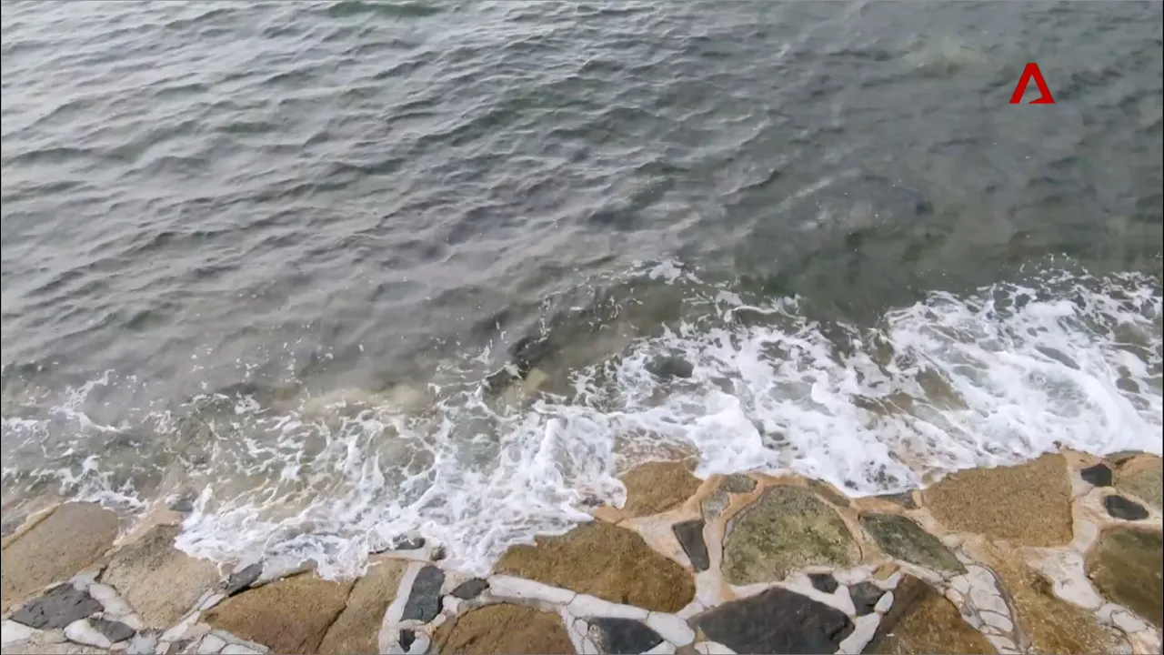
- Why this video: This video connects the biological structure of mangroves to practical engineering. It demonstrates how these complex root systems physically absorb storm energy, reduce wave heights, and actively build up coastal soil levels over time—allowing coasts to naturally adapt to sea-level rise.
- Knowledge Checkpoint:
- State how much a mangrove forest can reduce wave height during storm events.
- Explain how mangrove root networks trap suspended sediments to raise the elevation of the shoreline.
- Describe the long-term coastal management benefit of "living shorelines" compared to static concrete barriers.
Advanced Scientific Supplement: The Physics of Wave Attenuation
The capacity of mangroves to dissipate waves is dictated by fluid drag and turbulent energy dissipation. As a wave moves into a forest, it encounters thousands of root cylinders. This interaction is mathematically described by the quadratic drag equation:
Where:
- is the drag force.
- is the drag coefficient of the root structure (highly dependent on root geometry and roughness).
- is the density of salt water.
- is the projected area of the roots facing the flow.
- is the horizontal velocity of the wave.
Because the roots are dense and structured fractally, they maximize the surface area without completely blocking the flow. This forces the water into narrow, high-velocity paths between roots, converting the wave's bulk kinetic energy into micro-scale turbulent eddies. These eddies rapidly decay into heat via viscosity.
Because wave energy () is proportional to the square of wave height (), reducing the wave velocity via drag forces leads to an exponential decay in wave height over distance. Field measurements show that a 100-meter-wide band of healthy mangroves can reduce wave energy by up to 66%.
Module 2: The Science of Blue Carbon
This module explores the global carbon cycle and defines the concept of "Blue Carbon." You will study the biological and chemical mechanisms that enable mangroves to capture atmospheric carbon and lock it away in their soils for thousands of years.
Recommended Videos
Video 1: Foundational Blue Carbon Dynamics
- Why this video: This lecture defines blue carbon, outlines the history of the term (coined in 2009), and explains why coastal wetlands are highly efficient carbon sinks. It compares the carbon storage capabilities of marine systems directly with terrestrial forests.
- Knowledge Checkpoint:
- Define "blue carbon" and identify the three primary coastal ecosystems that store it.
- Contrast the rate of carbon sequestration per hectare in coastal wetlands with that of tropical rainforests.
- Explain the role of marine vegetation in mitigating the concentration of atmospheric greenhouse gases.
Video 2: Soil Anoxia and Decomposition Barriers

- Why this video: This video focuses on the soil-based mechanisms of carbon sequestration. It illustrates how waterlogged, oxygen-depleted (anoxic) soils slow down decomposition, allowing organic carbon to accumulate and remain preserved for centuries.
- Knowledge Checkpoint:
- Explain why waterlogged soils are characterized by anoxic (low oxygen) conditions.
- Describe how the absence of oxygen affects the metabolic activity of soil decomposers (bacteria and fungi).
- Contrast how organic matter decomposes in a dry upland forest versus a waterlogged mangrove sediment.
Video 3: Deep Sediment Carbon Preservation

- Why this video: This short documentary segment provides a clear visual and conceptual explanation of how mangrove soils act as long-term carbon traps. It highlights the direct contrast between oxygen-rich upland soils (where organic matter decomposes quickly) and waterlogged sediments (which preserve organic matter).
- Knowledge Checkpoint:
- Explain why terrestrial forest soils do not accumulate carbon as deeply as coastal mangrove sediments.
- Describe how physical sediment trapping by mangrove roots contributes to burying organic carbon.
- Identify what happens to stored carbon when a mangrove forest is cleared and the soils are exposed to air.
Module 3: Quantifying Blue Carbon: Field & Lab Methods
This module transitions from theory to practical field science. You will learn the exact physical and mathematical methodologies used to measure carbon stocks in the field and calculate dry biomass in the laboratory.
Recommended Videos
Video 1: Introduction to Forest Biomass Accounting
- Why this video: This tutorial establishes the step-by-step mathematical framework for calculating above-ground biomass (AGB) and converting it to organic carbon. It defines key concepts such as green weight, dry weight, and carbon ratios.
- Knowledge Checkpoint:
- Define Above-Ground Biomass (AGB) and list the structural parts of the tree it includes.
- Explain the process of converting green tree weight (fresh weight) to dry weight.
- State the standard carbon fraction constant used to convert dry biomass to total stored carbon.
Video 2: Field Protocols for Measuring DBH

- Why this video: Measuring tree diameter is the foundation of biomass calculations. This lecture explains the standard forestry protocol for measuring Diameter at Breast Height (DBH), outlining key rules for handling irregular tree trunks, slopes, and leaning trees.
- Knowledge Checkpoint:
- State the standard height from the ground (in meters) where DBH is measured.
- Describe the measurement protocol for a tree growing on a slope.
- Explain how to measure DBH on a tree with a bifurcated (forked) trunk below the standard measurement height.
Video 3: Soil Carbon Pools and Assessment Overview

- Why this video: This video introduces the three primary carbon pools measured in a standard mangrove assessment: above-ground biomass, below-ground biomass, and soil organic carbon.
- Knowledge Checkpoint:
- Name the three primary carbon pools analyzed in a comprehensive blue carbon assessment.
- Explain why soil carbon must be measured at varying sediment depths.
- Identify which of the three carbon pools typically contains the largest percentage of total carbon in a mangrove forest.
Specialized Field & Lab Protocol Manual
Because video tutorials for specialized coastal soil coring are limited, use this comprehensive step-by-step guide to complete your field assessment and lab analysis.
              ┌────────────────────────────────────────┐
              │ FIELD WORK: Establish Plot & Core Soil │
              └───────────────────┬────────────────────┘
                                  │
                                  ▼
              ┌────────────────────────────────────────┐
              │   LAB WORK: Extract, Measure & Dry     │
              └───────────────────┬────────────────────┘
                                  │
                                  ▼
              ┌────────────────────────────────────────┐
              │  CALCULATION: Bulk Density & Total C   │
              └────────────────────────────────────────┘
1. Field Protocol: Measuring Irregular Mangrove DBH
Standard forest inventory rules must be adapted for the unique growth forms of mangroves (particularly Rhizophora prop roots):
-
The Prop Root Rule (Rhizophora spp.): Do not measure at the standard height if prop roots extend above that point. Instead, measure tree diameter above the highest prop root bifurcation (where the roots merge into a single trunk).
-
The Pneumatophore Rule (Avicennia & Sonneratia): Pioneer species often fork very close to the mud. If the tree forks below , treat each stem as an independent tree. Measure DBH on each stem separately, calculate their individual biomasses, and sum them to determine the tree's total biomass.
 Rhizophora (Stilt Roots)                  Avicennia (Pneumatophores)

       / \   <-- Stem                         |   |    |   | <-- Multi-stems
      /   \                                   \   /    \   /
=====|=====|== <-- Measure DBH                 \ /      \ /
     |  *  |   (30 cm above fork)         ======|========|====== <-- Measure DBH
    / \   / \                                   |   *    |   (Treat as 2 trees)
   /   \ /   \                                 /          \
  /     X     \                               /            \
 /     / \     \                             /______________\
/     /   \     \                             ~~~~~~~~~~~~~~  <--- Mud level
2. Field Protocol: Extracting Non-Compacted Soil Cores
To measure soil carbon, you must extract a core down to depth using a Russian Peat Corer or a gouge auger to prevent soil compaction.
- Clear all surface leaf litter from your sampling point.
- Drive the corer steadily into the sediment to a depth of . Avoid twisting the corer while driving it down to prevent soil compaction.
- Carefully retrieve the core. Lay it horizontally on a clean tray.
- Partition the core into four specific depth intervals: , , , and .
- Extract a precise, representative sub-sample of known volume (e.g., a syringe slice) from the midpoint of each interval. Place these sub-samples in labeled, airtight bags.
3. Laboratory Protocol: Bulk Density and Percent Organic Carbon
Back in the laboratory, you must convert wet field samples into dry mass and analyze their organic carbon content.
-
Dry Bulk Density (DBD) Calculation:
- Record the exact volume of the wet soil sample ( in ).
- Place the wet sample in an aluminum crucible and dry it in an oven at for (or until the weight remains constant). Do not dry soil above to prevent burning off organic matter.
- Weigh the dried soil sample to find its Dry Mass ( in grams).
- Calculate Dry Bulk Density using the formula:
-
Quantifying Percent Organic Carbon (): Use the Loss on Ignition (LOI) method to estimate organic carbon:
- Grind a dry soil sub-sample into a fine powder. Place a known mass () in a ceramic crucible.
- Heat the sample in a muffle furnace at for to burn off all organic matter.
- Allow the crucible to cool in a desiccator, then weigh the remaining mineral ash ().
- Calculate the percent loss on ignition ():
- Convert to Percent Organic Carbon using this standard coastal conversion factor:
Module 4: Community-Based Ecological Mangrove Restoration (CBEMR)
Traditional restoration projects often fail because they rely on simply planting visual monocultures in unsuitable intertidal zones without considering local communities. This module teaches the principles of Community-Based Ecological Mangrove Restoration (CBEMR). This approach focuses on repairing natural hydrological flows and partnering with local stakeholders to design resilient, biodiverse ecosystems.
Recommended Videos
Video 1: CBEMR Foundations and Hydrological Connectivity

- Why this video: This case study from Ranong, Thailand, illustrates how CBEMR restores degraded mangrove ecosystems by improving water flow (hydrological connectivity) and soil conditions. It shows how involving local communities leads to more successful, self-sustaining forests.
- Knowledge Checkpoint:
- Define the term "hydrological connectivity" and explain why it is the primary factor in ecological mangrove restoration.
- Describe how restoring natural water flows allows mangroves to regenerate naturally without manual planting.
- Explain why early, active community involvement is essential for the long-term survival of a restoration site.
Video 2: Plant-and-Forget Pitfalls vs. Ecological Restoration
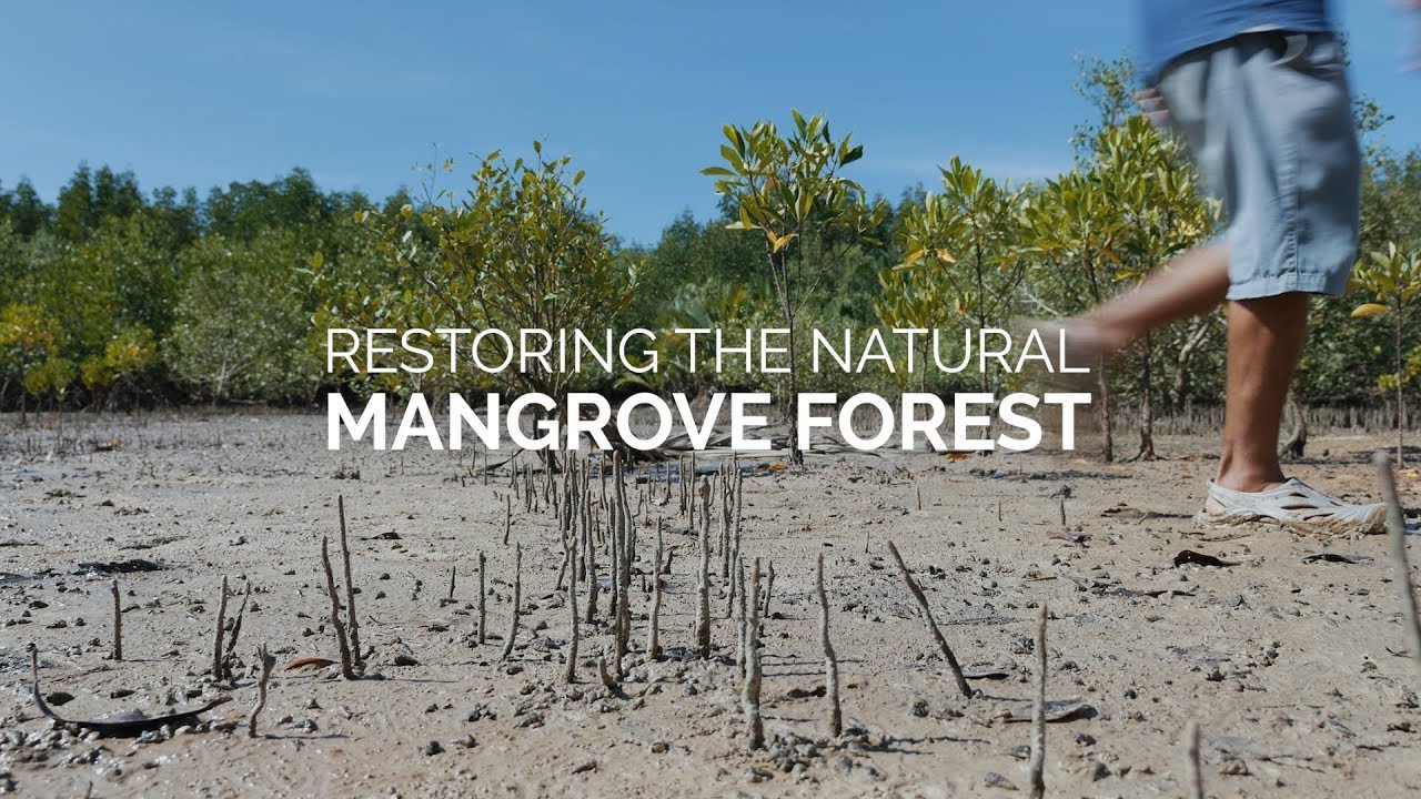
- Why this video: This video contrasts standard, large-scale planting projects with the CBEMR process. It highlights why hand-planting monocultures in mudflats often fails, and explains how facilitating natural ecological succession leads to healthier, more diverse forests.
- Knowledge Checkpoint:
- Explain why planting a single mangrove species in a uniform grid is ecologically risky compared to natural succession.
- Describe how clearing blocked channels or modifying soil elevation can resolve restoration issues without manual planting.
- List two common reasons why large-scale, top-down mangrove planting projects often fail within the first two years.
Video 3: The Human Element in Biodiversity Conservation

- Why this video: Featuring a discussion between Dr. Jane Goodall and Dr. E.O. Wilson, this video introduces the "Tacare" philosophy of community-centered conservation. It explains why conservation efforts fail when they ignore the socio-economic needs of the communities living alongside those ecosystems.
- Knowledge Checkpoint:
- Describe the core philosophy of the "Tacare" approach to conservation.
- Explain why conservation plans must address local poverty and clean water access to successfully protect biodiversity.
- Discuss how GIS and mapping technologies can help communities participate in managing their own natural resources.
Module 5: Designing Coastal Protection and Monitoring Plans
In this final module, you will integrate your understanding of mangrove biology, carbon accounting, and community-based restoration to design a comprehensive, long-term coastal defense plan. You will learn to use remote sensing toolkits to map mangrove cover and monitor restoration success over time.
Recommended Videos
Video 1: Mangroves as Infrastructure for Disaster Risk Reduction
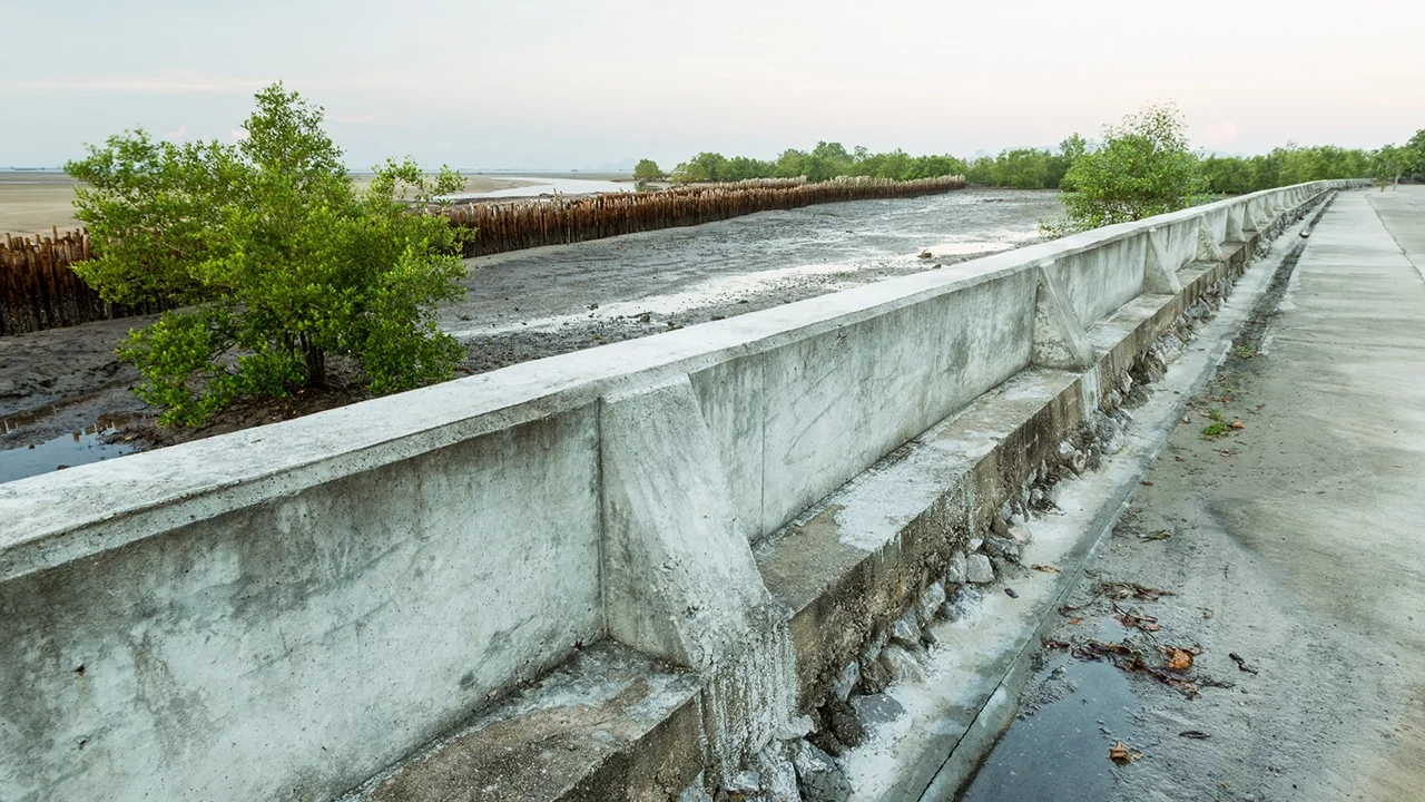
- Why this video: This video explains how to integrate mangroves into coastal defense planning as dynamic, nature-based infrastructure. It demonstrates how healthy forests mitigate extreme wind and wave action, and discusses how to combine ecological solutions with existing local disaster plans.
- Knowledge Checkpoint:
- Explain how a healthy mangrove forest acts as a natural buffer, reducing disaster risks compared to concrete sea defense structures.
- Describe how rising sea levels affect the spatial planning of coastal mangrove restoration projects.
- Identify two ways local community knowledge can be integrated into a regional coastal defense plan.
Video 2: Mapping Mangrove Cover and Hydrological Networks with QGIS

- Why this video: This NASA ARSET webinar provides a step-by-step tutorial on mapping mangrove extent and changes over time using Google Earth Engine (GEE) and QGIS. It covers importing Landsat imagery, creating cloud-free composites, and running basic land-cover classifications.
- Knowledge Checkpoint:
- Explain how to use remote sensing to identify cloud-free Landsat composites over coastal wetlands.
- Describe the process for mapping changes in mangrove forest boundaries over a ten-year period using QGIS.
- Identify the satellite bands that are most effective at distinguishing mangrove forests from adjacent terrestrial vegetation or open water.
Video 3: Estimating Above-Ground Biomass with Radar (SRTM)
- Why this video: This advanced remote sensing tutorial shows you how to estimate above-ground biomass and tree height across large areas. It explains how to combine Digital Elevation Models (DEMs) from the Shuttle Radar Topography Mission (SRTM) with field-derived measurements.
- Knowledge Checkpoint:
- Explain how Shuttle Radar Topography Mission (SRTM) elevation data can be used to estimate canopy height.
- Describe why C-band radar wavelengths are particularly useful for estimating the height and density of forest canopies.
- Outline how to validate remote sensing estimates of forest biomass using physical plot measurements collected in the field.
Video 4: Hybrid Green-Gray Infrastructure and Resiliency Policy

- Why this video: This video examines the policy decisions involved in coastal protection. It highlights the debates between constructing massive grey infrastructure (such as concrete seawalls) and implementing hybrid green-grey solutions that combine engineering with natural mangrove restoration.
- Knowledge Checkpoint:
- Contrast the ecological and financial trade-offs of building a solid seawall versus implementing a hybrid green-gray infrastructure plan.
- Describe the legal and environmental policy challenges that often arise when planning large-scale coastal infrastructure projects.
- Explain how a hybrid coastal defense system (combining offshore breakwaters with restored nearshore mangroves) protects a shoreline during a storm.
Course Map
This map outlines the recommended progression through the curriculum. Modules are structured to build from core biological and physical principles, through quantitative field methods, and finally to planning and monitoring restoration projects.
Key People Index
- Dr. Bikram Singh (Module 3): Forestry academic and mensuration specialist. He developed the standardized protocols for measuring tree heights and diameters across complex growth forms, which form the basis for blue carbon forest inventories.
- Dr. Jane Goodall (Module 4): Primatologist and conservationist. She pioneered the "Tacare" method, a community-centered approach that prioritizes local socio-economic development and community engagement as the foundation for long-term biodiversity conservation.
- Dr. E.O. Wilson (Module 4): Biologist and theorist. He championed the preservation of global biodiversity and emphasized using spatial mapping technologies to build resilient, interconnected habitats.
Final Self-Assessment
To complete this curriculum and earn your certification, you must demonstrate proficiency by completing this practical, synthesis-based project checklist:
- Physical wave attenuation modeling: Mathematically calculate the estimated reduction in wave energy at your proposed restoration site. Use the fluid drag equation based on the average density and height of local Rhizophora prop roots.
- Species zonation mapping: Design a vertical zonation plan for a coastal profile. Correctly position pioneer species (Avicennia) at the wet seawall edge and successor species (Rhizophora, Bruguiera) further inland.
- Irregular DBH measurement: Demonstrate the correct field procedure for measuring DBH on a stilt-rooted mangrove tree. Show that you measured above the highest root fork rather than at the standard height.
- Soil carbon core extraction: Collect a soil core down to a depth of without causing soil compaction. Correctly slice and store samples from the four standard depth intervals.
- Dry bulk density calculation: Calculate dry bulk density and convert a soil sample's Loss-on-Ignition percentage () to Percent Organic Carbon () using the standard conversion factor.
- Hydrological restoration design: Identify and map two local hydrological obstructions (such as abandoned aquaculture dikes or roads) that are preventing natural tidal flow to your restoration site.
- Socio-economic community plan: Outline a community-engagement plan that creates long-term livelihood incentives for local residents, such as sustainable crab harvesting, ecotourism, or carbon credit payments.
- Remote sensing monitoring project: Produce a land-cover classification map using QGIS or Google Earth Engine that shows changes in local mangrove cover over a ten-year period.
- Hybrid coastal defense design: Present a coastal protection plan that combines a low, green-gray breakwater with a wide zone of restored mangroves to protect a local coastal village from storm surges.