Urban Design: Inequality, Space & Citizenship
Learning Goal: Examine how urban infrastructure, spatial design, and public spaces shape social inequalities, citizenship, and community-building in modern cities.
- Estimated Study Time: 14 Hours
- Prerequisites: None. This curriculum is designed to be accessible to beginners while offering rich conceptual frameworks for advanced students of sociology, geography, and urban planning.
Module 1: Foundations of Urban Sociology & Spatial Design
This module introduces the core concepts of urban sociology and spatial design. You will explore how physical environments shape human behaviors, relationships, and societal structures. By examining the history of city design and understanding how "space" is never neutral, you will build the foundational toolkit required to analyze urban environments through a critical, sociological lens.
Recommended Videos
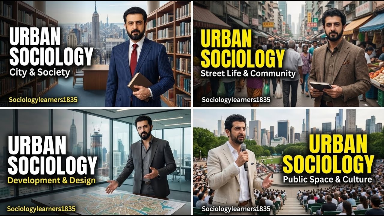
Why this video
This video provides a direct, systematic, academic introduction to the field of urban sociology. It outlines how cities affect human behavior, social relationships, and structural organizations. It sets the perfect theoretical baseline for looking at the physical city as a product of social processes and an active agent in shaping human life.
Knowledge Checkpoint
- Define "urban sociology" and identify its primary areas of inquiry.
- Explain how rapid urbanization historically led to the emergence of sociology as a discipline.
- Describe the relationship between spatial layouts and social categorization.
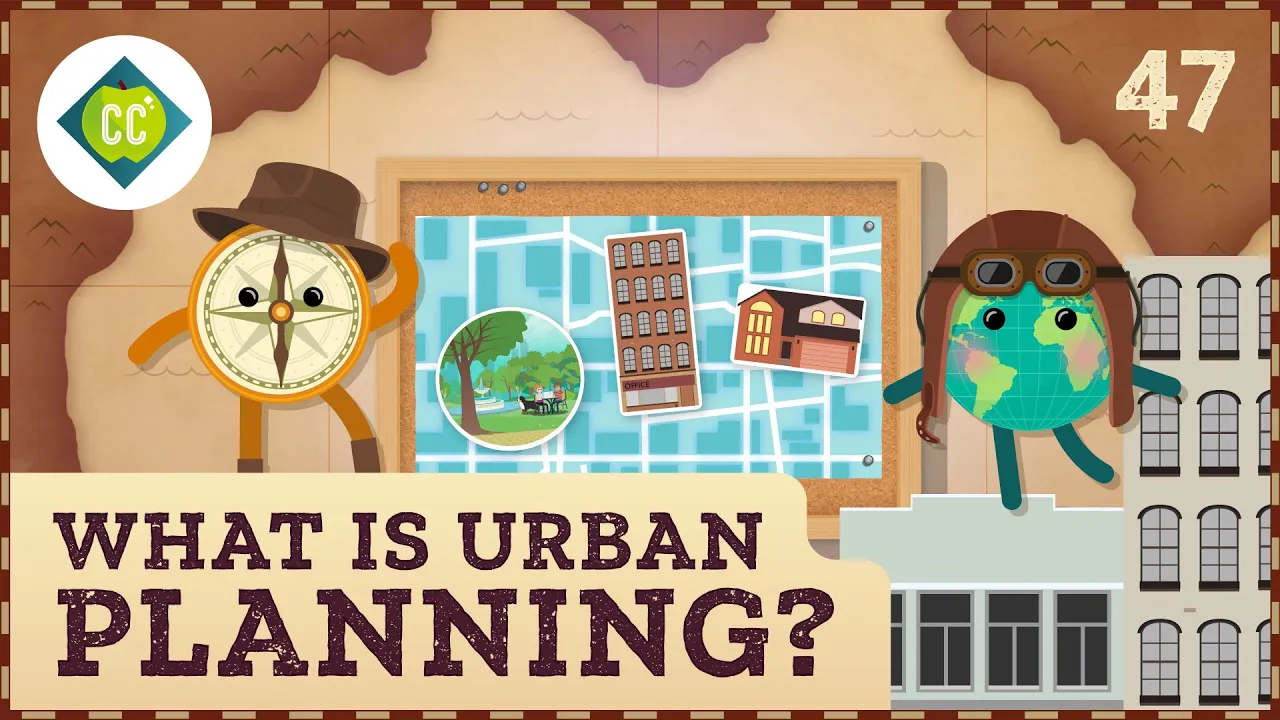
Why this video
This highly dynamic, visually engaging primer introduces the historical intersection of geography, mapping, and state-level resource allocation. It bridges the gap between pure sociology and the practical application of urban planning, demonstrating how lines drawn on maps translate directly to community development patterns and institutional inequalities.
Knowledge Checkpoint
- Explain how historical mapping practices influenced municipal investment.
- Connect the concept of urban planning to state-sanctioned spatial distribution.
- Understand the baseline history of zoning practices.

Why this video
Produced by the NYC Department of City Planning, this video establishes a clear, practical definition of "urban design" as an active practice. It details how professionals manipulate streets, public open spaces, and buildings to influence daily civic experiences, health outcomes, and accessibility.
Knowledge Checkpoint
- Differentiate between "urban planning" (macro policy/zoning) and "urban design" (micro human scale and experience).
- Identify the primary physical elements that urban designers use to shape public life.
- Analyze how a street layout can prioritize certain transportation modes over others.
Curriculum Author Note on Video Gaps: While highly visual resources on geography and architecture are plentiful, comprehensive academic lectures on "urban sociology" in English are scarce in modern video databases. To augment this module, it is highly recommended to independently search for university lectures or read foundational texts on the Chicago School of Sociology (such as Robert E. Park and Ernest Burgess's Concentric Zone Model) and Jane Jacobs' The Death and Life of Great American Cities.
Module 2: Infrastructure and Spatial Inequality
This module investigates how infrastructure serves as a physical tool of segregation. You will analyze how post-WWII highway construction, discriminatory financial policies like redlining, and spatial configurations have physically divided communities, reinforced racial segregation, and produced systemic "transit deserts" that isolate marginalized groups.
Recommended Videos
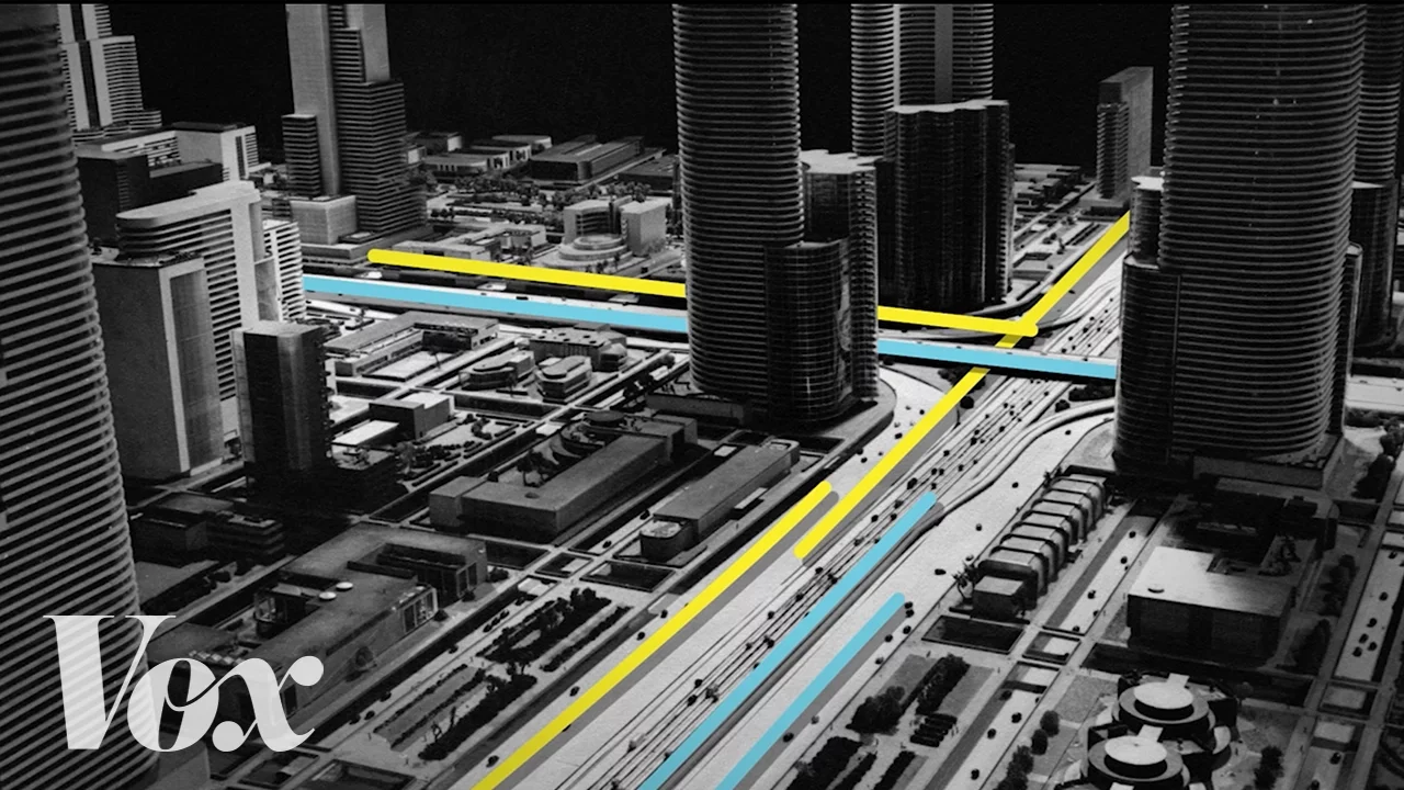
Why this video
This landmark Vox video offers an exceptionally clear visual reconstruction of how the Interstate Highway Act of 1956 systematically decimated thriving urban neighborhoods—frequently targeting Black and lower-income communities. It demonstrates how highways were used as literal physical barriers to isolate, divide, and disrupt municipal continuity.
Knowledge Checkpoint
- Describe the political and economic incentives behind the Interstate Highway Act of 1956.
- Explain how highway placement was used as a tool of racial segregation and neighborhood demolition.
- Identify the long-term socioeconomic consequences for communities cut off by major arterial expressways.
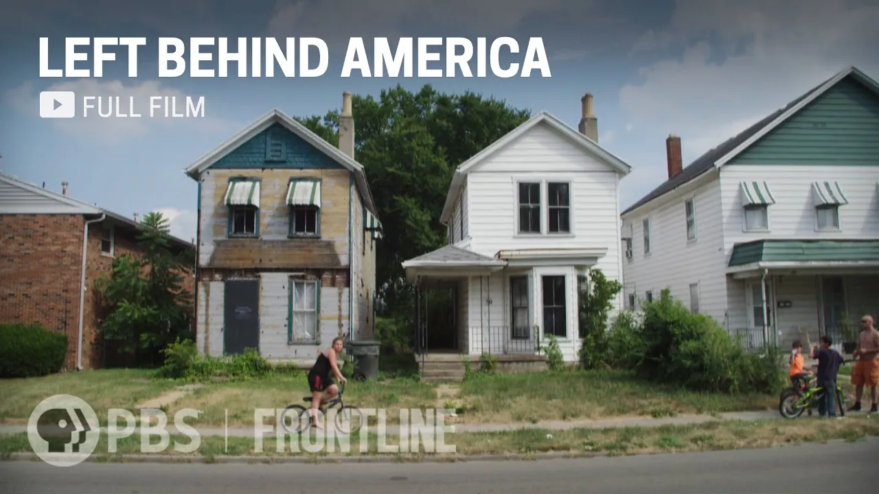
Why this video
This investigative clip from FRONTLINE presents a raw and precise explanation of "redlining"—the systemic practice by which banks and federal entities drew literal red lines around neighborhoods of color to refuse mortgages and investment. It clearly connects historical housing policy to modern economic struggles.
Knowledge Checkpoint
- Define the term "redlining" and explain how the practice was institutionalized.
- Describe how redlining prevented generations of families of color from building intergenerational wealth through homeownership.
- Analyze the lasting physical and economic scars left on cities by historical disinvestment.
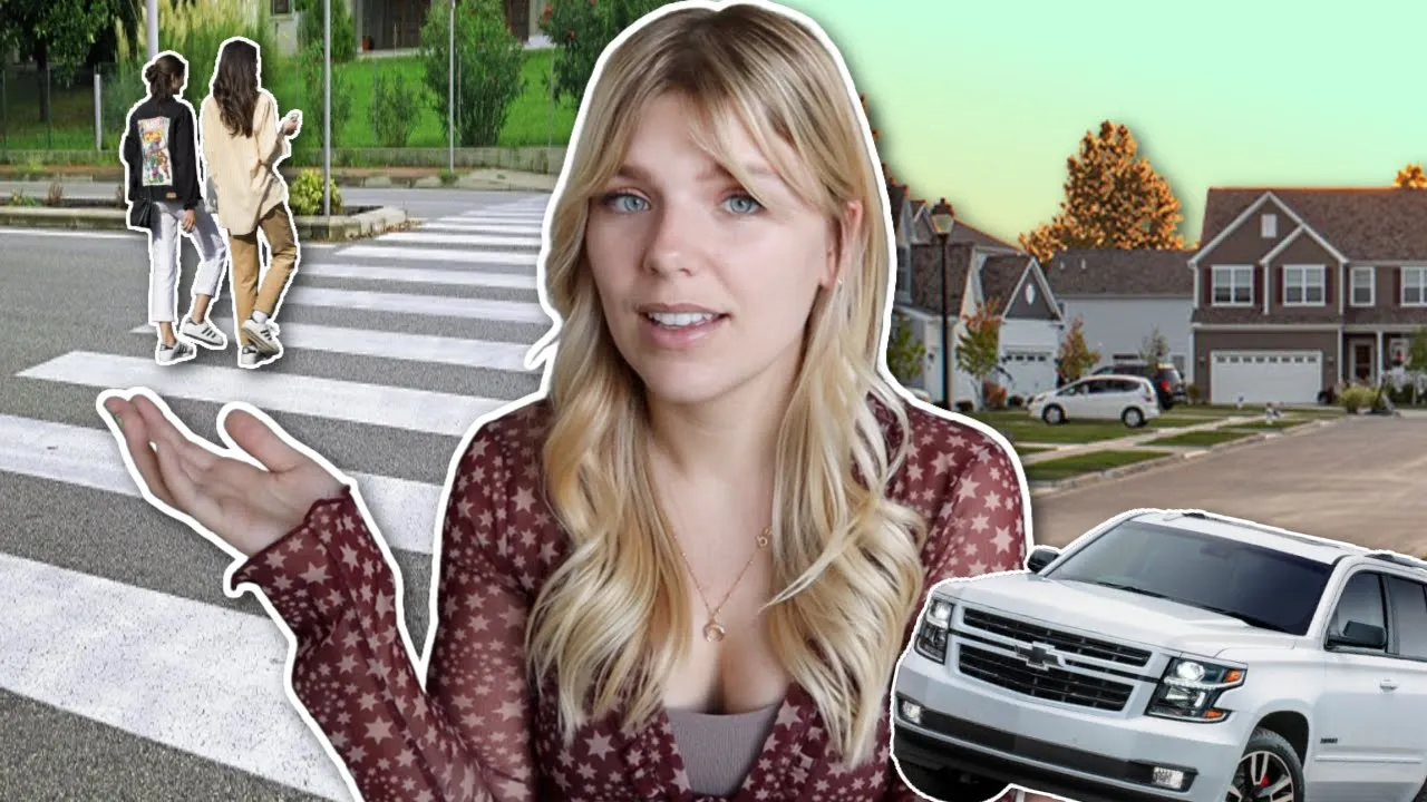
Why this video
This video connects urban layout directly to socioeconomic accessibility. It examines how car-centric suburban layouts create "transit deserts"—geographic regions lacking walkable infrastructure and reliable public transport—forcing residents into expensive car dependency and isolating those who cannot afford or drive private vehicles.
Knowledge Checkpoint
- Define "transit desert" and describe its physical characteristics.
- Explain how car-dependent design acts as a financial barrier for low-income citizens.
- Discuss the sociological impact of isolating suburban environments on community networks and civic life.
Module 3: Public Spaces and the 'Third Place'
This module introduces the concept of the "Third Place"—social environments separate from home (the first place) and work (the second place). You will learn why neutral, low-cost public spaces are vital for democracy, community building, and personal well-being, and how their physical erosion degrades the social fabric of cities.
Recommended Videos
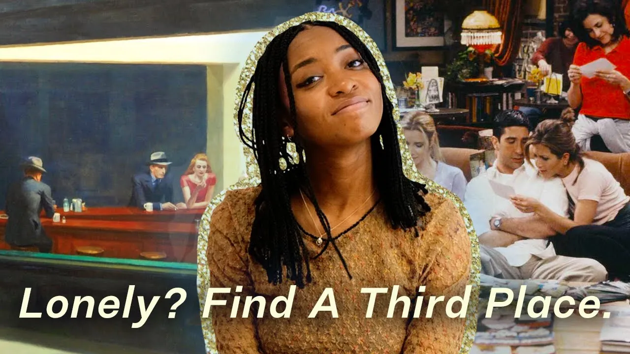
Why this video
This beautifully structured video essay breaks down sociologist Ray Oldenburg's concept of the "Third Place." It details the characteristics of these critical spaces—accessible, egalitarian, welcoming—and explains how they promote spontaneous social interaction, collective joy, and mental health.
Knowledge Checkpoint
- Define the concept of a "Third Place" according to Ray Oldenburg.
- List at least four essential characteristics of a healthy third place (e.g., leveling effect, low profile, conversation-driven).
- Explain why third places are essential for fostering localized social capital.

Why this video
This critical urbanist video demonstrates how North American suburban infrastructure has systematically eliminated Third Places. By replacing mixed-use neighborhoods with single-family zoning and strip malls, cities have engineered isolation, forcing commercial transactions in order to experience human interaction.
Knowledge Checkpoint
- Contrast mixed-use zoning with single-use suburban zoning regarding their support of third places.
- Discuss how car-centric layouts make children, teens, and the elderly dependent on others for social interaction.
- Analyze the economic barriers built into modern commercial spaces that pretend to be public gathering spaces.

Why this video
This video positions public spaces as essential infrastructure for democratic community-building. It introduces the concept of the public square as an "urban theater" where citizens of diverse backgrounds interact, cultivating a shared sense of ownership, trust, and collective identity.
Knowledge Checkpoint
- Define "open-source urbanism" and "urban theaters."
- Explain how a healthy public space acts as an equalizer across different socioeconomic classes.
- Identify how active community participation can "recode" neglected urban assets into inclusive social hubs.
Module 4: Hostile Architecture and Exclusionary Design
This module exposes the subtle and overt ways modern cities employ defensive architecture, surveillance, and privatization to control social behavior and exclude marginalized groups, particularly unhoused individuals. You will analyze the physical mechanisms used to deter public gathering and critique the shifting definition of public space ownership.
Recommended Videos
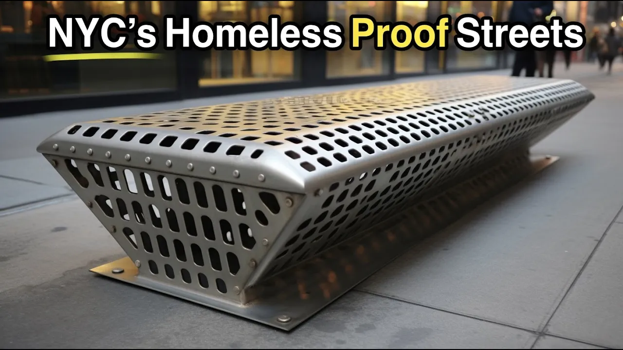
Why this video
This highly viewed, micro-level exploration of New York City streets exposes modern "hostile design" implementations. It highlights specific physical interventions—such as spikes, rocky terrains under overpasses, and segmented benches—designed to prevent vulnerable populations from finding shelter or resting in public spaces.
Knowledge Checkpoint
- Define "hostile architecture" (or "defensive design") and state its primary target demographic.
- Identify three physical examples of anti-homeless design commonly used on city streets.
- Discuss how defensive design impacts the average citizen’s ability to use public space.

Why this video
This analytical video catalogs a broad range of architectural interventions used to enforce behavior control, such as "perches" or leaning bars that replace conventional public seating. It systematically breaks down the engineering behind spatial discomfort as a form of social engineering.
Knowledge Checkpoint
- Explain the design philosophy of "leaning benches" or "perches" and how they differ from traditional public infrastructure.
- Analyze the psychological effects of designing public spaces with intentional physical discomfort.
- Articulate how behavioral control is embedded directly into functional design elements.
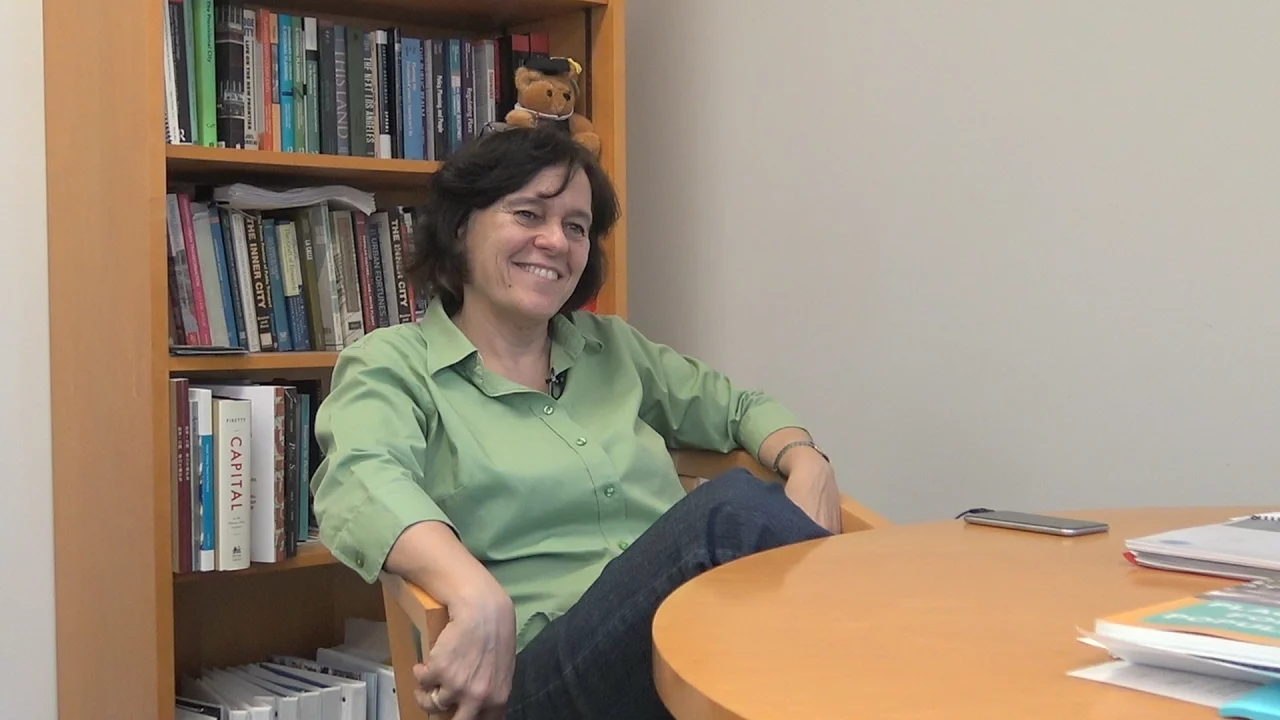
Why this video
This academic talk by urban planning scholar Dr. Anastasia Loukaitou-Sideris addresses the gap in structural critique regarding the privatization of public space. Using a prominent case study in Los Angeles, she dissects how commercial, legal, and physical mechanisms (such as gating and surveillance) are used to restrict democratic access to public spaces.
Knowledge Checkpoint
- Contrast a truly democratic "public space" with a "privatized" public space.
- Explain how corporate interests and wealthy homeowners use gating, policing, and landscape features to control access.
- Analyze the consequences of privatization on the right to free assembly and democratic civic expression.
Module 5: Spatial Justice, Gentrification, and Inclusive Cities
This concluding module centers on solutions and critical struggles over "the right to the city." You will analyze the mechanics of gentrification and explore how spatial justice can be reclaimed through inclusive, participatory urban planning methodologies that place communities—rather than developers—at the center of design.
Recommended Videos
Why this video
This video explains the theoretical concept of "spatial justice." It links human rights and social justice directly to geography, showing how spatial distribution—where supermarkets, toxic factories, transit lines, and parks are built—determines a community's lifespans, wealth, and systemic equity.
Knowledge Checkpoint
- Define "spatial justice" and explain how geography intersects with human rights.
- Provide examples of how unequal spatial distribution produces environmental and health disparities.
- Discuss how spatial justice advocates can use geographic analysis to demand civic equity.

Why this video
Using an international case study, this video analyzes the contemporary dynamics of global gentrification. It references Tulane University Professor Richard Campanella’s comprehensive four-phase gentrification model, showcasing how digital nomads, rising rents, and shifting property values displace native working-class communities.
Knowledge Checkpoint
- Explain the four phases of Richard Campanella’s gentrification model.
- Define the role of "digital nomads" and foreign capital in accelerating displacement in modern international hubs.
- Contrast neighborhood "improvement" with systemic economic "displacement."
Why this video
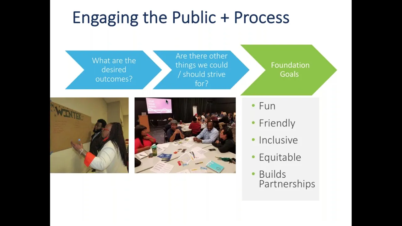
This video addresses the historical deficit in participatory solutions by presenting three practical, real-world case studies of inclusive community planning. Highlighting initiatives like Boston's Fairmount Greenway, it demonstrates how pop-up parks, participatory events, and public engagement empower citizens to co-design their own neighborhoods.
Knowledge Checkpoint
- Define "participatory planning" and explain how it contrasts with traditional "top-down" planning.
- Describe the participatory design methods utilized in the Fairmount Greenway case study.
- Analyze the challenges and benefits of engaging diverse local populations in spatial co-design.

Why this video
This direct, practical explainer shows how community-led planning functions on the ground through the "Enquiry by Design" (EbD) framework. It outlines a structured, collaborative methodology that brings together public consultation, site tours, and technical co-creation.
Knowledge Checkpoint
- Explain the three core phases of the "Enquiry by Design" (EbD) process.
- Identify how site tours and collaborative design workshops bridge the gap between technical planners and local residents.
- Assess how community-led frameworks protect local social heritage from speculative displacement.
Curriculum Author Note on Video Gaps: Community-led and participatory planning solutions are frequently localized, making polished video media rare on global streaming platforms. For further independent learning, students are strongly encouraged to research the following methodologies: Tactical Urbanism (short-term, community-led interventions), Community Land Trusts (CLTs) for affordable housing, and Participatory Budgeting frameworks.
Course Map
This flowchart maps your pathway through the curriculum, highlighting module sequence and conceptual prerequisites.
Key People Index
Familiarize yourself with these major researchers, sociologists, and designers highlighted across this curriculum:
- Ray Oldenburg (1932–2022): American urban sociologist known for coining and defining the term "Third Place", advocating for the protection of informal community-gathering spaces.
- Dr. Anastasia Loukaitou-Sideris: Distinguished Professor of Urban Planning at UCLA, specializing in the democratization and privatization of public spaces, spatial security, and inclusive transit-oriented design.
- Richard Campanella: Renowned geographer and professor at Tulane University; developed the recognized four-phase model of gentrification detailing spatial and demographic shifts in urban neighborhoods.
- Jane Jacobs (1916–2006): (Highly recommended supplementary figure) Prominent activist and author of The Death and Life of Great American Cities, who championed community-led design, walkable neighborhoods, and the "eyes on the street" theory.
Final Self-Assessment
Use this checklist to self-assess your comprehension of the overall learning goal and core module materials.
- I can articulate how physical urban architecture is a manifestation of underlying economic, racial, and political forces.
- I can define "urban sociology" and explain how the built environment shapes human behavior and social networks.
- I can explain how post-WWII highway construction systematically severed neighborhoods, particularly communities of color.
- I can define the practice of "redlining" and describe its long-term impacts on the spatial distribution of wealth.
- I can identify the physical properties of "transit deserts" and detail their socioeconomic impacts.
- I can explain what a "Third Place" is, naming its critical characteristics and why it is vital for democratic citizenship.
- I can identify at least three physical design modifications categorized as "hostile architecture" and explain their exclusionary purpose.
- I can analyze how privatization, gating, and private security systems restrict democratic access to public spaces.
- I can explain the core physical and economic differences between genuine neighborhood improvement and gentrification.
- I can outline Richard Campanella's four-phase gentrification model.
- I can define "spatial justice" and explain why human rights are deeply connected to geography and resource distribution.
- I can explain how "participatory planning" and frameworks like "Enquiry by Design" can protect marginalized communities and encourage civic empowerment.