Mitigating Wind Power Impacts: Bats & Birds
Learning Goal: Evaluate the ecological trade-offs of utility-scale wind energy on migratory bat and avian populations and develop site-selection and turbine-operation mitigation strategies.
- Prerequisites: Basic understanding of environmental science, introductory ecology, and foundational physics.
- Estimated Study Time: 18 Hours
Module 1: Introduction to Utility-Scale Wind Energy Technology
Module Overview
This module establishes the engineering baseline for utility-scale wind energy. You will explore the physical mechanics of wind energy conversion, the key structural components of modern horizontal-axis wind turbines (HAWTs), and the global operational scale of these systems. Understanding how turbines generate electricity—and the mechanics of rotating blades—is critical to analyzing why and how they interact with aerial wildlife.
Recommended Videos

Why this video
This video provides an excellent physical walkthrough of a real industrial wind turbine. It introduces the mechanical systems located within the nacelle, illustrating how the anemometer, ultrasonic wind sensors, and yaw control systems orient the turbine to maximize wind capture. This mechanical understanding is vital when looking at how turbines can be engineered to halt operation during high-risk wildlife periods.
Knowledge Checkpoint
- Understand how wind speed and direction sensors communicate with yaw motors to align the rotor.
- Identify the function of the low-speed shaft, gearbox, high-speed shaft, and generator inside the nacelle.
- Explain how a mechanical-electrical conversion process transforms kinetic energy into grid-ready power.

Why this video
Produced by DTU Wind Energy (a leading global research institution), this academic-grade video explains standard industry terminology and structural design. It details the mechanics of the three-blade rotor, mechanical drivetrains, and how aerodynamic torque is generated. Understanding these precise aerodynamic principles is essential for calculating blade tip speeds and understanding wildlife impact hazards.
Knowledge Checkpoint
- Define key aerodynamic components of horizontal-axis wind turbines (HAWTs).
- Distinguish between aerodynamic rotor torque, drivetrain loads, and tower structural support systems.
- Explain how rotor blades translate variable wind forces into rotational torque.

Why this video
This video provides a deep technical dive into the physical anatomy and scale of utility-scale turbines. It breaks down the composition of the tower, foundations, and blades, detailing materials (such as steel and composites) and structural dynamics. This scaling perspective illustrates the massive size of the sweep area that migratory wildlife must navigate.
Knowledge Checkpoint
- Analyze the dimensional scaling of modern turbine towers and deep concrete foundations.
- Understand the material science and structural stresses experienced by rotor blades spinning at high tip speeds.
- Explain the layout of utility-scale wind farms and how spacing minimizes wake interference.
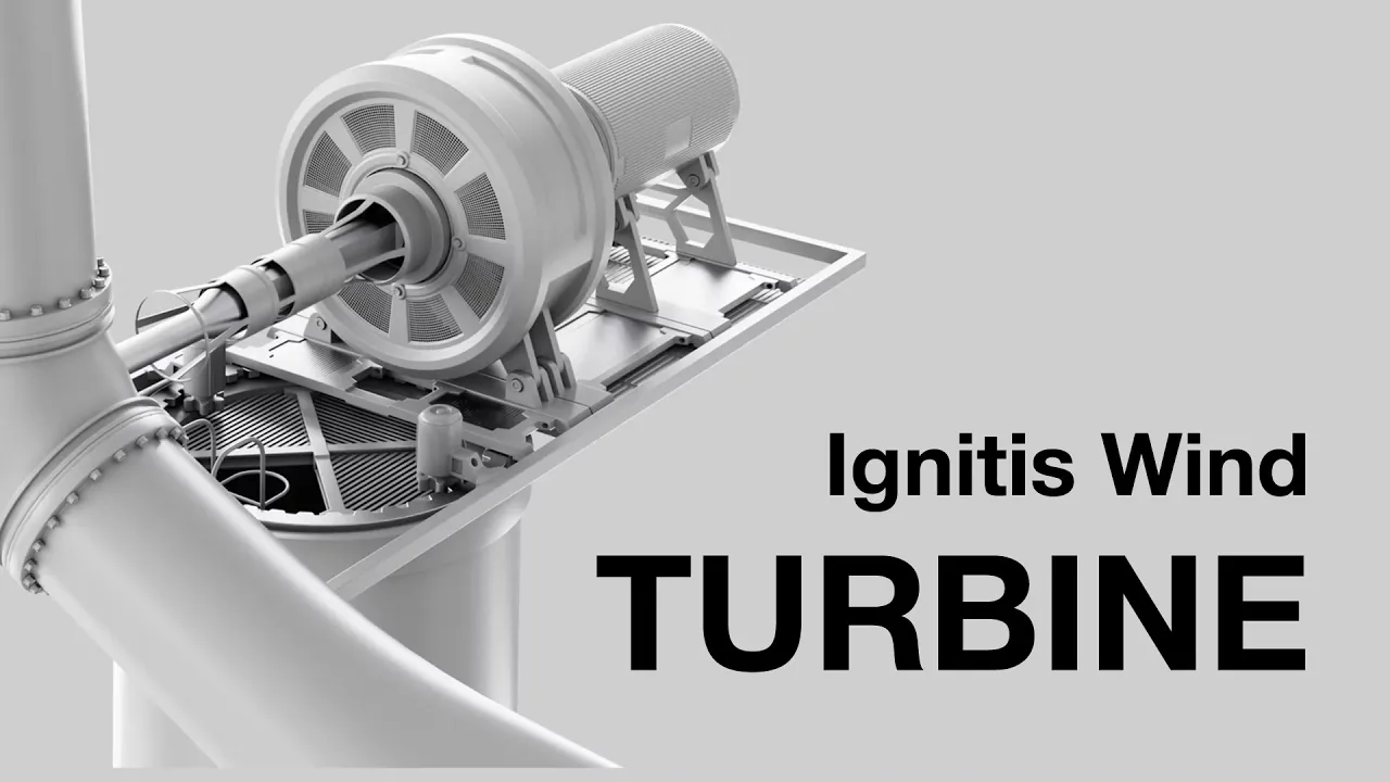
Why this video
Using detailed 3D animation, this video isolates the fluid dynamics that occur on turbine blade surfaces. It explains how wind traveling over asymmetrical airfoil shapes generates lift, driving rotation at 7 to 20 RPM, and how the generator uses magnetic induction to create electricity.
Knowledge Checkpoint
- Explain how lift and drag forces act on a blade's cross-sectional airfoil.
- Describe the path of electrical flow from the turbine hub, down the tower, through transformers, and out to the power grid.
- Calculate the relative tip-speed ratio based on rotor RPM and wind speed.
Module 2: Avian and Bat Migration & Flight Ecology
Module Overview
To protect wildlife, we must first understand their biology. This module covers animal flight mechanics, behavioral patterns, echolocation physics, and global migration routes. By exploring how birds use thermal updrafts and how bats navigate dark corridors using high-frequency acoustics, you will identify why these species interact with fast-moving turbine blades.
Recommended Videos

Why this video
This video introduces continental migration corridors known as "flyways," which were first classified by biologist Frederick Lincoln. It explains how billions of migratory birds follow landscape-scale geographical corridors annually. This macro-scale spatial data is key to making informed decisions when choosing wind farm locations.
Knowledge Checkpoint
- Describe the historical development and scientific significance of the "flyway" concept.
- Map the major continental flyways used by migratory birds during seasonal cycles.
- Explain how landscape features (like mountain ranges and coastlines) concentrate migratory traffic.
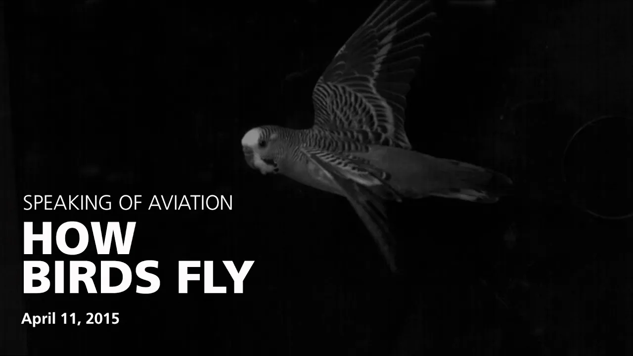
Why this video
Dr. Peter Cavanagh delivers an in-depth lecture on the biomechanics of avian flight. By examining diverse wing morphologies (from soaring raptors to high-frequency flapping species), this video reveals how different species generate lift, glide, and maneuver. This structural understanding shows why some species have high collision risks due to poor maneuverability or specific flight altitudes.
Knowledge Checkpoint
- Distinguish how wing loading and aspect ratios affect bird maneuvering and flight height.
- Explain the biomechanical adjustments birds make to generate lift and thrust during takeoff and flight.
- Identify which flight patterns (such as hovering or thermal soaring) make certain species more vulnerable to wind turbines.

Why this video
This video explains the mechanics of thermal soaring. It details how birds locate and circle within rising pockets of warm air to travel long distances while saving energy. Because both wind turbines and soaring birds rely on these same convective air currents, their spatial paths frequently overlap.
Knowledge Checkpoint
- Explain the meteorological formation of thermal updrafts and how soaring birds utilize them.
- Explain why the spatial distribution of thermal currents creates a direct collision hazard between soaring birds and wind developments.
- Describe the energetic trade-offs birds make when shifting from thermal soaring to active flapping flight.
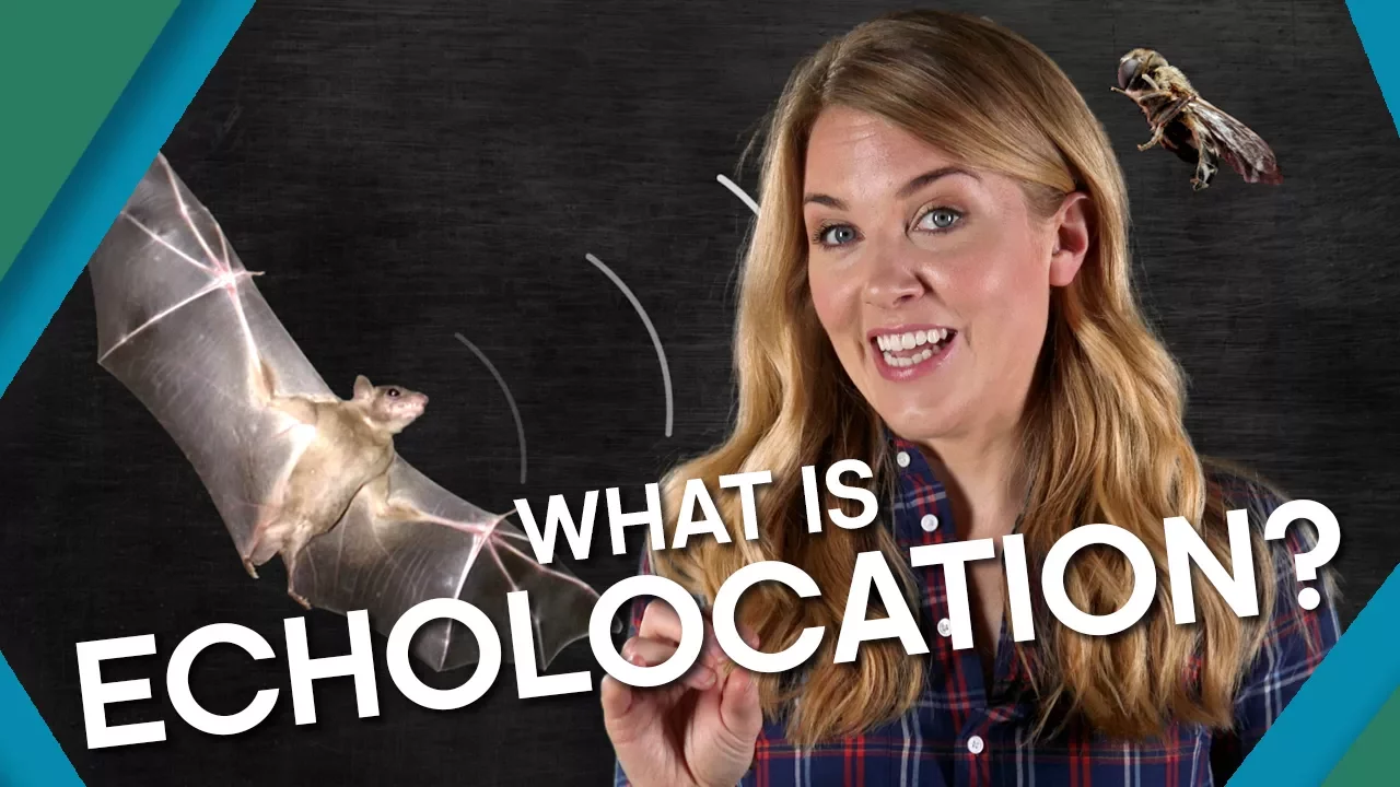
Why this video
To understand how bats navigate wind farms, we must study the physics of echolocation. This video details how bats emit ultrasonic clicks and process the returning sound waves to build a detailed acoustic map of their environment. It highlights the physical limits of this biological sonar when dealing with large, moving structures.
Knowledge Checkpoint
- Explain the physical mechanics of ultrasound wave emission, reflection, and echo processing.
- Detail how the middle ear muscles contract to protect a bat's hearing during vocal emission.
- Analyze why echolocation fails to prevent collisions with wind turbine blades spinning at high tip-speeds.
Module 3: Ecological Impacts & Post-Construction Mortality Monitoring
Module Overview
This module explores the ecological impacts of wind developments, focusing on direct collisions, bat barotrauma, and habitat displacement. You will also study post-construction monitoring practices, including systematic carcass searches and statistical tools used to calculate bird and bat mortality rates.
Recommended Videos

Why this video
This video explains the physiology of barotrauma, a major cause of bat deaths near wind turbines. It details how moving rotor blades create localized zones of low air pressure. When bats fly through these zones, the sudden pressure drop causes their lungs to overexpand and rupture. This physical hazard occurs even when bats successfully avoid direct contact with the blades.
[Moving Turbine Blade] ---> Creates Localized Low-Pressure Zone (Vortex) | [Bat Enters Zone] ---------> Rapid, Extreme Atmospheric Pressure Drop | [Physiological Impact] ----> Sudden Expansion of Air in Internal Cavities | [Fatal Pathology] ---------> Rupture of Pulmonary Capillaries (Barotrauma)
Knowledge Checkpoint
- Explain how rotating turbine blades generate localized low-pressure zones.
- Describe the physiological effects of sudden pressure drops on a bat's respiratory system compared to a bird's.
- Explain why barotrauma occurs even in the absence of direct blade contact.

Why this video
This comprehensive seminar details how post-construction fatality monitoring is actually conducted in the field. It covers systematic carcass search protocols, transect spacing, search intervals, and standard field equipment. It provides a solid foundation for designing scientific monitoring projects.
Knowledge Checkpoint
- Design a post-construction monitoring search protocol, including choosing search areas and timing.
- Explain how to account for carcass removal by scavengers and differences in searcher efficiency.
- Distinguish between raw mortality counts and adjusted, statistically modeled fatality rates.

Why this video
This webinar covers the statistical models used to process field monitoring data. It details the math behind tools like GenEst (Generalized Estimator of Mortality) and Evidence of Absence software. These tools are used to account for searcher bias, carcass decay, and small sample sizes to generate reliable mortality estimates.
Knowledge Checkpoint
- Understand the mathematical variables used in the GenEst framework to estimate wildlife mortality.
- Explain how scavenger removal rates (persistence time) are calculated and used to correct mortality figures.
- Describe how "Evidence of Absence" statistical tools help monitor rare or endangered species.

Why this video
This short segment provides an additional reference for bat barotrauma, explaining how the pressure difference across rotating blade tips damages bat physiology.
Knowledge Checkpoint
- Understand the relationship between blade length, rotational speed, and pressure drops at the blade tip.
- Describe the fatal internal lung injuries that barotrauma causes in bats.
Module 4: Site-Selection, GIS Mapping & Pre-Construction Assessment
Module Overview
Smart site selection is the most effective way to minimize wind farm impacts on wildlife. This module focuses on using Geographic Information Systems (GIS) to analyze wind resources, topography, and wildlife habitats. You will also study how pre-construction monitoring and Environmental Impact Assessments (EIAs) help identify high-risk areas before any construction begins.
Recommended Videos

Why this video
This video demonstrates a complete GIS site-selection workflow for wind energy projects. It shows how to import wind speed data from the Global Wind Atlas, apply buffers around protected areas, and combine multiple environmental and technical layers to identify suitable, low-impact sites.
[Global Wind Atlas Layer] -> [Buffer Exclusions: Cities, Roads] -> [Ecology Layer: Protected Habitats] | [Overlay Vector Analysis] | [Optimal Low-Impact Sites]
Knowledge Checkpoint
- Import and format spatial datasets (such as wind resource atlases and terrain data) inside a GIS platform.
- Apply spatial exclusion buffers around protected zones, residential areas, and critical habitats.
- Perform a vector-based overlay analysis to find locations that balance wind energy potential with environmental protection.

Why this video
This tutorial teaches you how to build automated suitability models using ArcGIS ModelBuilder. It shows how to design workflows that automatically process geographic criteria—such as distance from wetlands or key nesting habitats—to map relative wildlife collision risks across a landscape.
Knowledge Checkpoint
- Build a functioning spatial workflow inside ArcGIS ModelBuilder to automate site assessment.
- Apply weighted rankings to different GIS layers (such as distance from nests vs. wind quality).
- Generate raster-based suitability maps that clearly show high, medium, and low-risk zones.

Why this video
This video uses real-world wind projects in the US and Canada to highlight lessons learned during pre-construction planning. It details how multi-year raptor surveys and local wildlife studies are integrated into Environmental Impact Assessments (EIAs) to secure permits and shape project design.
Knowledge Checkpoint
- Detail the typical duration and scope of pre-construction eagle and raptor surveys.
- Understand how wildlife survey data is used to modify turbine layout designs.
- Explain how regulatory frameworks in the US and Canada govern wildlife mitigation at wind facilities.
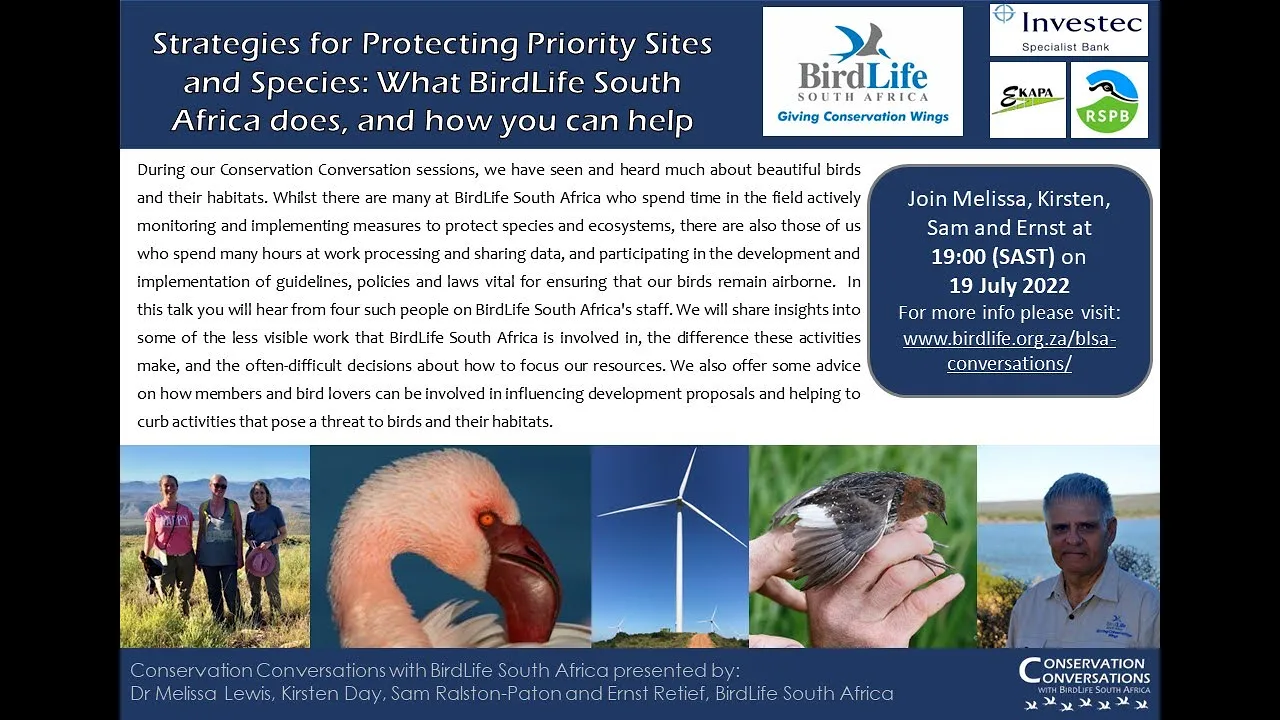
Why this video
This segment highlights the role of scientific advocacy groups, like BirdLife South Africa, in shaping wind energy guidelines. It explains how local biological data is used to standardized environmental monitoring, ensuring that wind developments protect regional biodiversity.
Knowledge Checkpoint
- Describe how non-governmental organizations contribute to standardizing environmental monitoring guidelines.
- Explain why consistent environmental monitoring protocols are essential for comparing impacts across different wind projects.
Regulatory Assessment Guidance Gap
Note: While the video pool covers GIS workflows well, it does not detail the step-by-step regulatory Environmental Impact Assessment (EIA) process required by government bodies (such as the US Fish and Wildlife Service's Land-Based Wind Energy Guidelines).
Recommended Independent Search: “USFWS Land-Based Wind Energy Guidelines tier system pre-construction assessment” to learn how developers systematically assess wildlife risks over five progressive evaluation tiers.
Module 5: Operational Mitigation & Deterrent Technologies
Module Overview
When turbines are built in areas with wildlife activity, operational mitigation is needed. This module covers advanced technical solutions used to reduce mortality, including smart curtailment algorithms, ultrasonic acoustic deterrents, and automated AI camera detection systems like IdentiFlight.
Recommended Videos
Why this video
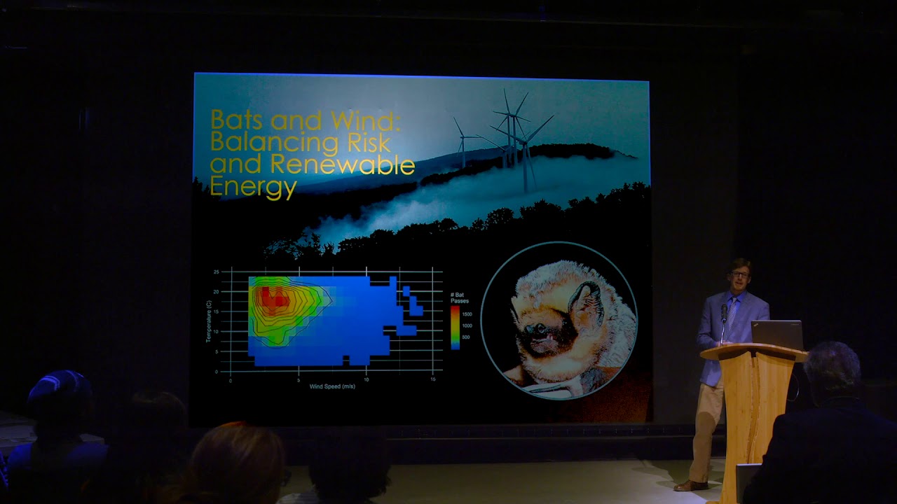
Researcher Trevor Peterson presents his thesis on "smart curtailment" for bats. He explains that traditional curtailment (raising turbine cut-in speeds across the board) reduces clean energy production. In contrast, smart curtailment uses real-time acoustic sensors to detect bat activity, shutting down turbines only when bats are active and weather conditions are high-risk.
[Acoustic Sensors Detect Bats] + [Wind Speed < Threshold] + [Temp > Limit] | [Smart Curtailment Triggered] | [Turbines Feathered (Rotations Stop)]
Knowledge Checkpoint
- Explain the difference between standard curtailment and real-time smart curtailment.
- Identify the key environmental variables (wind speed, temperature, time of night, bat acoustic detections) that trigger smart curtailment.
- Analyze the balance between protecting bat species and maintaining annual energy production (AEP).

Why this video
This video explains how ultrasonic acoustic deterrents prevent bat collisions. It describes how these nacelle-mounted devices emit high-frequency sounds that jam bats' echolocation. This encourages bats to avoid the airspace around the turbines without causing them harm.
Knowledge Checkpoint
- Describe the physical design and mounting locations of ultrasonic deterrents on a turbine.
- Explain how artificial ultrasound signals jam a bat's echolocation system.
- Discuss the range and weather limitations of acoustic systems in high-humidity environments.
Why this video
This documentary provides an in-depth look at AI-driven avian collision prevention systems. It focuses on IdentiFlight, explaining how high-resolution camera towers use computer vision to detect, track, and identify incoming birds of prey in real time, triggering automatic turbine shutdown when birds get too close.
Knowledge Checkpoint
- Explain how computer vision algorithms classify bird species and calculate their flight paths in real time.
- Describe the communication link between AI-driven monitoring towers and turbine control systems.
- Evaluate the effectiveness of automated shut-offs at reducing raptor deaths compared to traditional visual monitoring.
Why this video
This technical discussion examines the field performance and economic impact of IdentiFlight systems. It covers how these systems reduce bird deaths, minimize turbine downtime, and lower operating costs for wind developers.
Knowledge Checkpoint
- Explain how defining spatial trigger zones prevents unnecessary turbine curtailment.
- Understand the maintenance and calibration needs of multi-camera optical setups on wind farms.
- Analyze the long-term return on investment (ROI) of installing advanced AI camera systems.
Smart Curtailment Code/Formula Gap
Note: While these videos explain operational mitigation concepts, they do not show the mathematical equations or coding logic used in smart curtailment algorithms.
Recommended Independent Search: “Smart curtailment decision tree algorithm wind turbine Python” to review research papers showing how environmental parameters are coded into automated turbine control loops.
Course Map
Key People Index
- Dr. Peter Cavanagh (Biomechanics Researcher, Museum of Flight)
- Context: A leading expert on bird flight mechanics. His research explains how wing shape, aspect ratios, and flight dynamics affect bird behavior and maneuverability around human-made structures.
- Trevor Peterson (Wildlife Biologist, University of Maine)
- Context: A pioneer in bat conservation technology. His work focuses on integrating ultrasonic acoustic sensors with turbine control systems to enable smart curtailment, protecting bats while preserving wind energy production.
- Frederick Lincoln (Biologist, US Bureau of Biological Survey)
- Context: Main featured figure in historic migration science. He established the four major North American flyways in the 1930s, providing the foundational framework used for regional wind farm siting today.
Final Self-Assessment
Complete this self-assessment to verify your understanding of wind energy technology, wildlife biology, and impact mitigation:
- Rotor Aerodynamics: Can you explain how turbine blade tip speed ratios change with wind speed, and how this affects collision risk?
- Acoustic Mechanics: Can you describe how ultrasonic waves behave in different temperatures and humidities, and how this limits bat deterrents?
- Barotrauma Physics: Can you explain the aerodynamic and physiological causes of bat barotrauma around moving turbine blades?
- Flyway Siting: Can you identify the geographic markers of major continental flyways and explain how to use this data in GIS siting models?
- Multi-Criteria GIS Mapping: Can you build a multi-layered GIS suitability model that balances wind quality with wildlife exclusion zones?
- Carcass Search Bias: Can you calculate adjusted mortality rates from raw carcass counts using formulas that correct for searcher efficiency and scavenger removal?
- Smart Curtailment Logic: Can you write out the decision-tree logic of an automated curtailment system using wind, temperature, time, and acoustic data?
- Computer Vision Tracking: Can you explain how AI-driven camera systems (like IdentiFlight) detect, classify, and track raptors to trigger automatic turbine shut-offs?