Urban Heat Islands: Causes & Green Solutions
Learning Goal: Evaluate the causes of the Urban Heat Island (UHI) effect and design nature-based solutions, such as green roofs and urban forestry, to mitigate temperature extremes in metropolitan areas.
- Prerequisites: High school-level physics (thermodynamics and electromagnetic radiation basics) and introductory environmental science or geography.
- Estimated Study Time: 12 Hours
Module 1: Introduction to the Urban Heat Island (UHI) Effect
Module Overview
This module introduces the foundational concepts, definitions, and basic physics behind the Urban Heat Island (UHI) effect. Learners will explore why metropolitan centers experience significantly higher surface and air temperatures than adjacent rural areas. By analyzing microclimates and the thermal behavior of built environments, this module establishes the groundwork for understanding the macro socio-environmental impacts of urban warming.
Recommended Videos
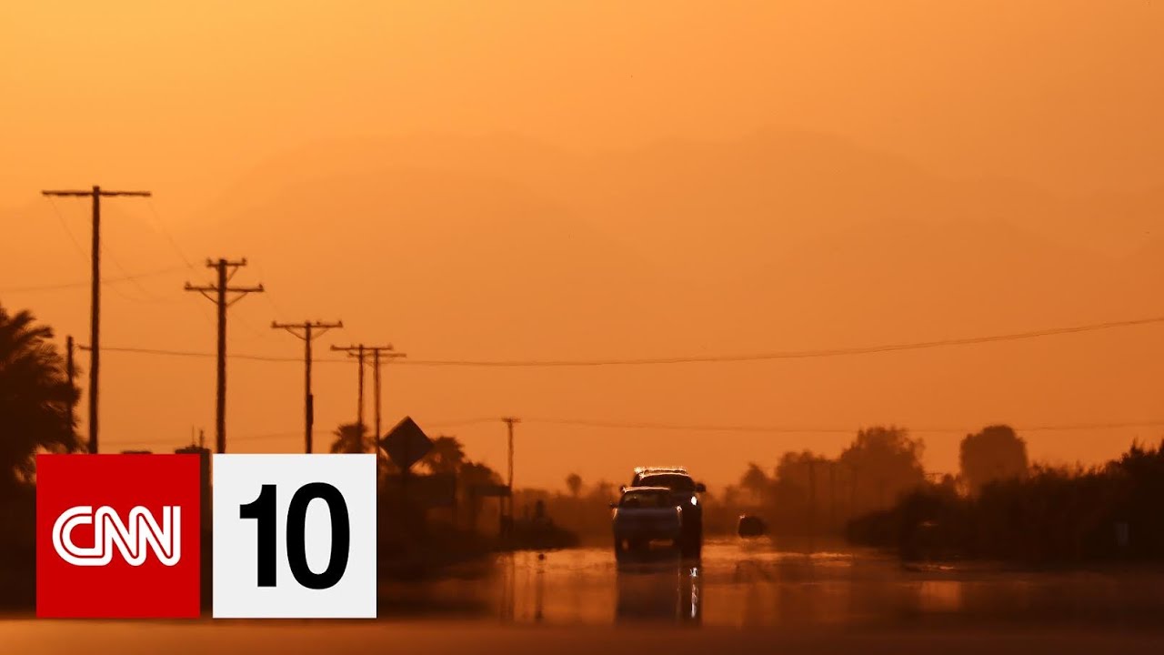
Why this video
This video provides an engaging, high-level introductory visualization of how concrete and asphalt absorb and slowly radiate heat back into the environment. It sets a clear, accessible baseline for understanding the physical geography of modern microclimates.
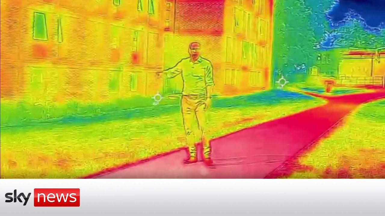
Why this video
This concise news overview illustrates how urban building materials (brick, concrete, and asphalt) behave under heatwave conditions, acting as continuous thermal radiators even overnight when rural areas cool down.

Why this video
Presented by Dr. Krishnanand, this comprehensive academic lecture provides the climatological framework of UHIs. It explores the core physical properties, spatial distributions, and primary drivers that establish urban-rural temperature differentials.
Knowledge Checkpoint
- Define the Urban Heat Island (UHI) effect and describe the typical temperature differential profile between a downtown city core and its rural surroundings.
- Explain how urban development replaces natural land covers with impermeable, heat-retaining artificial materials.
- Distinguish between surface heat islands and atmospheric/ambient air heat islands, noting when each reaches its peak intensity.
Module 2: The Drivers and Science of Urban Heat
Module Overview
In this module, learners transition from general UHI observations to the specific physical science and thermodynamics of urban structures. We will analyze the material properties of concrete, asphalt, and glass—focusing on albedo, thermal mass, and thermal emissivity. Additionally, we will study structural dynamics (such as the "urban canyon effect") and the impacts of anthropogenic waste heat.
Recommended Videos
Why this video
This video explains albedo—the measure of surface reflectivity—using materials science concepts developed at MIT. It shows how low-albedo urban surfaces convert incoming solar electromagnetic radiation into thermal energy.

Why this video
This official NASA training video details the three core properties of urban materials that drive UHI development: albedo (solar reflection), thermal emissivity (heat shedding), and heat capacity (thermal storage).
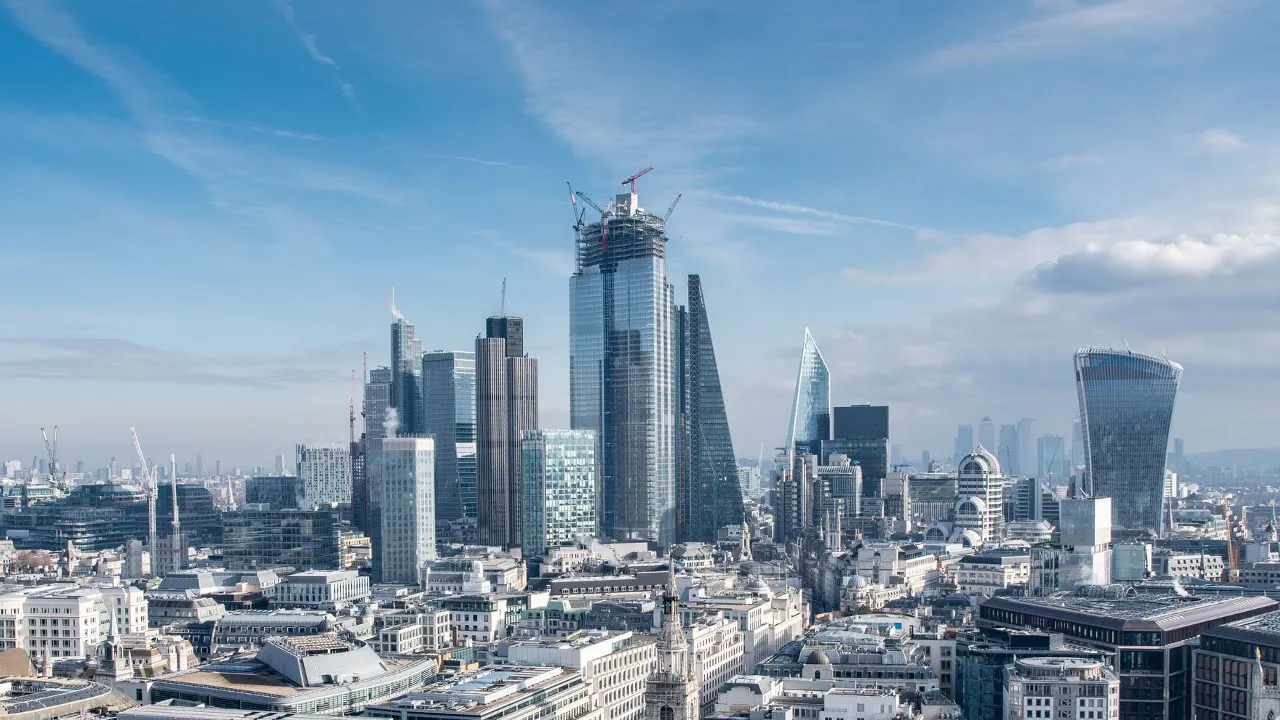
Why this video
This video illustrates the "urban canyon effect" and structural winds. It shows how skyscraper geometry traps longwave radiation, alters wind patterns, and creates hot microclimates along street-level corridors.

Why this video
This short clip highlights the role of anthropogenic waste heat, explaining how cars, air conditioning units, and industrial facilities dump extra thermal energy directly into the urban canopy layer.
⚠️ Curriculum Gap Alert: The video pool lacks a step-by-step mathematical tutorial on calculating specific heat, thermal mass coefficients, and anthropogenic heat flux.
Independent study suggestion: Search for "Albedo and thermal mass urban heat island physics" and "Anthropogenic heat sources in cities explained" to study the equations governing thermal storage () and urban energy balances.
Knowledge Checkpoint
- Explain the relationship between low-albedo surfaces and the absorption of shortwave solar radiation.
- Describe how the thermal mass and heat capacity of asphalt and concrete allow cities to store solar energy during the day and release it at night.
- Illustrate the "urban canyon effect" and explain how high building density reduces the sky view factor, trapping reflected heat.
- Define anthropogenic waste heat and list its primary sources in a metropolitan environment.
Module 3: Socio-Environmental Impacts of Extreme Urban Heat
Module Overview
This module explores the socio-environmental consequences of the UHI effect. It covers increased energy demands, power grid vulnerability, air pollution, and environmental justice. Learners will analyze how historical housing policies (such as redlining) have disproportionately exposed vulnerable populations to extreme heat.
Recommended Videos
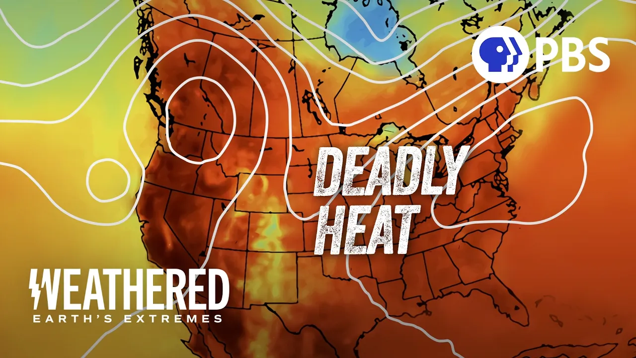
Why this video
This video examines urban tree canopy distribution and its connection to systemic inequalities, demonstrating that lower-income neighborhoods and communities of color often face higher average temperatures due to a lack of green spaces.
Why this video
This in-depth lecture connects modern urban heat mapping to historical redlining practices, showing how legacy housing policies created lasting environmental and public health disparities.

Why this video
This news segment explains the pressure extreme heat puts on energy infrastructure, showing how increased air conditioning demands strain electricity grids.

Why this video
This interview highlights how high temperatures accelerate the chemical reactions that convert vehicle and industrial emissions into ground-level ozone, linking UHIs directly to poor air quality.
Knowledge Checkpoint
- Explain how urban heat islands increase building energy use and describe the potential impact on regional power grids during a heatwave.
- Define "environmental justice" in the context of urban heat and explain how historical redlining is linked to modern tree canopy disparities.
- Describe the chemical pathway through which urban heat waves increase ground-level ozone () concentrations.
Module 4: Nature-Based Solutions: Green Roofs and Cool Roofs
Module Overview
This module explores roof-level solutions for mitigating urban heat. Learners will examine the engineering, biology, and thermodynamics behind reflective "cool roofs" and vegetated "green roofs." The module covers how green roofs manage stormwater and cool buildings through evapotranspiration, alongside the structural requirements of intensive versus extensive systems.
Recommended Videos
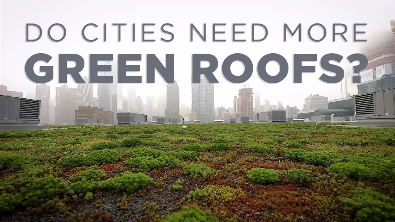
Why this video
This video provides an excellent visual introduction to how green roofs mitigate urban challenges, explaining how they manage stormwater runoff, reduce indoor heat transfer, and lower ambient air temperatures.

Why this video
This Wall Street Journal report looks at both the benefits and implementation challenges of green roofs, offering a balanced perspective on upfront structural costs versus long-term thermal energy savings.
Why this video
This software tutorial demonstrates how engineers model green roofs. It highlights the design differences between extensive (shallow soil, low maintenance) and intensive (deep soil, park-like, higher structural capacity) green roofs.

Why this video
This interview segment explains the differences between cool (highly reflective) roofs and green (vegetated) roofs, clarifying how both options reduce energy demands.
⚠️ Curriculum Gap Alert: The video pool does not contain a detailed cost-benefit analysis comparing the thermal insulation efficiencies, lifecycle costs, and maintenance of cool vs. green roofs.
Independent study suggestion: Search for "Cool roofs vs green roofs comparison performance" to research heat transfer coefficients (-values) and payback periods for both installations.
Knowledge Checkpoint
- Differentiate between a cool roof and a green roof in terms of how they handle solar radiation (reflection vs. evapotranspiration).
- Compare the structural and maintenance differences between extensive green roofs and intensive green roofs.
- Explain how a green roof reduces stormwater runoff volume and slows down peak discharge rates.
Module 5: Urban Forestry and Green Infrastructure
Module Overview
This module explores ground-level nature-based solutions, focusing on urban forestry, pocket parks, and vegetation networks. Learners will study how trees cool their surroundings through shade and active evapotranspiration, and explore the principles of selecting climate-resilient, biodiverse tree species for urban environments.
Recommended Videos
Why this video
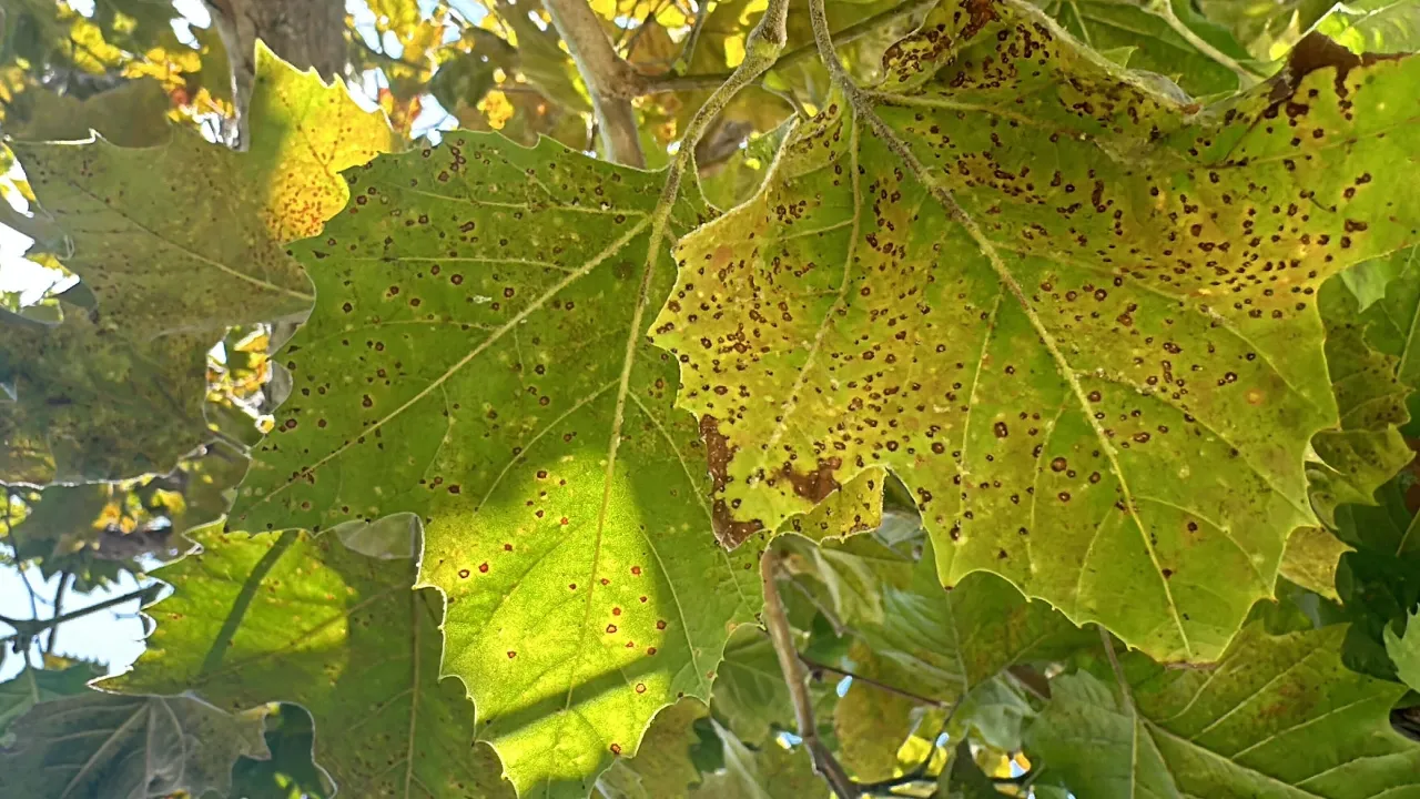
This video explains the cooling mechanisms of urban forests, detailing how trees block solar radiation with shade and cool the air through evapotranspiration.

Why this video
This video outlines Melbourne's municipal forestry strategy, detailing their target for 40% canopy cover and their biodiversity rule: limiting any single tree species to 5%, genus to 10%, and family to 20% to prevent pest vulnerability.

Why this video
This forum excerpt details how to select climate-resilient urban trees, explaining why factors like drought tolerance, heat resistance, soil compaction capability, and cold hardiness are critical for survival in urban environments.

Why this video
This webinar snippet introduces pocket parks and rain gardens, demonstrating how small urban green spaces can reduce localized surface temperatures by 4 to 6 degrees Celsius.
⚠️ Curriculum Gap Alert: The video pool does not cover the spatial geometry of vegetation grids (wind-blocking vs. wind-channeling configurations).
Independent study suggestion: Search for "Choosing climate resilient trees for urban forestry" and "Urban wind flow and vegetative cooling barriers" to research how green infrastructure layouts affect microclimate wind patterns.
Knowledge Checkpoint
- Describe the dual cooling mechanisms of trees: direct solar shading and evapotranspirative cooling.
- Explain the "5-10-20 rule" used in Melbourne's urban forestry strategy to maintain biodiversity and prevent pest-driven canopy loss.
- Identify key selection criteria for climate-resilient urban trees, including drought tolerance, soil compaction capability, and pest resistance.
- Explain how a pocket park acts as a localized cooling oasis in high-density urban areas.
Module 6: Designing Climate-Resilient Cities
Module Overview
This final module synthesizes our findings into macroscopic urban design and policy. Learners will study how planners use geographic information systems (GIS) and satellite land surface temperature (LST) data to identify thermal hotspots. Finally, we will examine real-world master plans—focusing on Singapore's transition to a "City in Nature"—to understand how to scale nature-based solutions.
Recommended Videos
Why this video
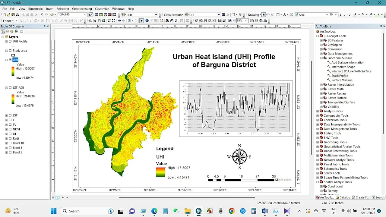
This technical tutorial walks through how to calculate the Urban Heat Island index and extract Land Surface Temperature (LST) values from satellite imagery using GIS, linking scientific theory to spatial analysis tools.

Why this video
Presented by Dr. Ladd Keith, this academic lecture explains how city planners evaluate and integrate thermal heat maps and climate models into zoning codes, master plans, and public policies.
Why this video
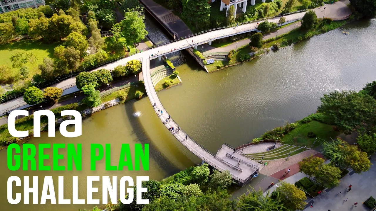
This documentary explores Singapore's "City in Nature" initiative. It showcases how biophilic design, green walls, pocket parks, and high-density vegetation networks are deployed at a national scale to cool a tropical metropolis.
⚠️ Curriculum Gap Alert: The GIS tutorial provides a solid introduction, but step-by-step coding for Google Earth Engine (GEE) or advanced raster calculation is briefly covered.
Independent study suggestion: Search for "How to map urban heat islands using GIS tutorial" or "Google Earth Engine Land Surface Temperature calculation" to practice coding and analyzing remote sensing datasets.
Knowledge Checkpoint
- Explain how satellite thermal infrared sensors record Land Surface Temperature (LST) and how this data is used in GIS spatial planning.
- Describe how municipal planners translate urban heat maps into practical zoning ordinances and building codes.
- Analyze Singapore's "City in Nature" strategy, highlighting at least three ways the city integrates nature-based cooling solutions into its urban master plan.
Course Map
Key People Index
- Dr. Krishnanand (The Geoecologist)
- Context: A prominent geography educator who provides structured, academic lectures on climatological terms and UHI models.
- Dr. Ladd Keith (University of Arizona)
- Context: An urban planning researcher specializing in extreme heat governance, heat policy, and translating climate modeling into local municipal action.
- Majora Carter (Environmental Justice Advocate)
- Context: A pioneer in urban revitalization and environmental justice, focusing on how green infrastructure can address historic redlining and pollution in urban neighborhoods.
- Lena Chan (National Parks Board Singapore)
- Context: A leading conservation scientist instrumental in transitioning Singapore's urban design from a "Garden City" to an integrated "City in Nature."
Final Self-Assessment
Complete this final checklist to verify your understanding of the curriculum and your ability to design nature-based urban cooling solutions:
- I can explain the physical difference between surface temperature (measured by satellites) and ambient air temperature (measured by weather stations).
- I can define albedo and calculate how changing a parking lot's albedo from 0.10 to 0.45 reduces heat absorption.
- I can describe the thermodynamic processes that cause cities to retain heat overnight, focusing on thermal mass and sky view factors.
- I can outline the urban canyon effect and design building layouts that maintain street-level ventilation corridors.
- I can explain how historically discriminatory housing policies, such as redlining, continue to impact modern tree canopy cover and heat exposure.
- I can list three respiratory and cardiovascular health risks associated with the combination of extreme heat and ground-level ozone.
- I can compare intensive and extensive green roofs across weight, soil depth, plant selection, and structural cost.
- I can calculate the runoff reduction potential of a green roof using water-holding capacity values.
- I can explain how plants use latent heat of vaporization during evapotranspiration to cool the surrounding air.
- I can apply the "5-10-20 rule" of biodiversity to an urban forestry master plan.
- I can outline the key steps for calculating Land Surface Temperature (LST) from Landsat thermal bands within a GIS program.
- I can design a comprehensive heat mitigation plan for a 10-square-kilometer urban district, integrating green roofs, pocket parks, and high-albedo materials.